TrailDamage.com

Photos, videos and information about 4x4 trails in Colorado and Utah

  • Trails
    • Colorado
    • Utah
  • Reports
    • Featured Photos
    • Featured Videos
    • Reports Calendar
  • Members
  • Search
  • Trail Damage Winners
  • FAQ
  • Community
  • Upcoming Events
  • Membership
  • Log In
  • Facebook
  • Instagram
  • RSS
  • Twitter
  • YouTube

Old Highway 90 161016

October 16, 2016 by Monica

Old Highway 90

Trail Run on October 16, 2016
Report and photos by Monica I., Trail Leader
View trail information for Old Highway 90

Walt S.
Gray 2022 Jeep Wrangler Unlimited Rubicon 392
Roger R.
Gray 2021 Jeep Wrangler Rubicon 4xe
Monica I.
Red 2010 Jeep Wrangler Rubicon
Julie M.
Green 2012 Jeep Wrangler Unlimited Rubicon

We had spent the last two days on and off of the Rimrocker Trail, completing the entire thing. We planned on spending yet another day on it, though this time we'd only use it to connect our new trails together. The plan was to use Old Highway 90 to find another way in, and then spend the day between that old road and Houser Road.

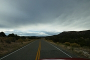
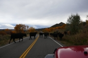
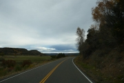
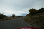
Mike's drive shaft blew up the day before, so we said goodbye to him and headed east out of Naturita. The turnoff was easy enough to find, and we were surprised to find it paved as we followed the San Miguel River. We came around a corner and found cows everywhere, with cowboys rounding them up. It took a while to get through the herd, but the views were gorgeous so we didn't mind the wait. We kept finding more cows and cow byproducts as we headed along the pavement. We even found some people getting horses out of a trailer and blocking the road doing it. It was an interesting start to the day.

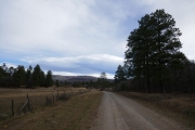
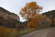
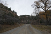
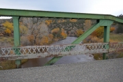
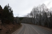
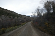
We came to a big ranch at a bridge across the river, and the trail turned to gravel. The scenery through that canyon was even better, and we stopped at a kiosk soon after that to get our bearings. We passed Ray's Trail as well as Cottonwood Trail, planning on seeing them again later if all went according to plan.

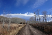
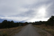
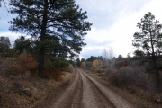
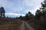
The road was fairly easy, but there were a few steep switchbacks that would be difficult to impossible if you were towing anything. We weren't sure how this used to be a highway, and we hoped that the name didn't make it seem okay for a big truck to take. We were enjoying it, but we imagined there were some people in the past who had a really bad time on it.

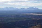
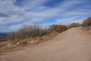
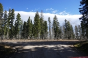
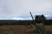
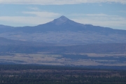
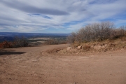
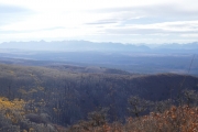
There was a big switchback with parking, and we stopped there to get a lot of pictures. It was chilly that morning, and windy, but gorgeous. That scenery was worth the entire trip.

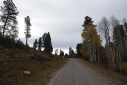
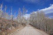
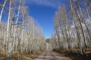
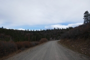
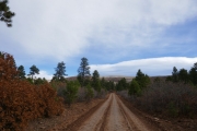
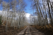
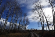
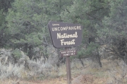
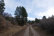
After that, the climb up Reade Hill and up to the Rimrocker Trail was pretty uneventful as we worked our way through the trees. When we got to Rimrocker, we turned left to go the short distance over to Houser Road. It promised to be yet another great day in Uncompahgre National Forest.

along_a_fence
aspen_shadows
aspens_and_pines
autumn
big_view_part_1
big_view_part_2
blue_and_brown
burning_off_clouds
canyon
climbing
cut_through_aspens
easy_curve
end_at_rimrocker_trail
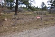
fence
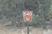
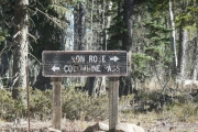
forest_service_sign
gate
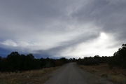
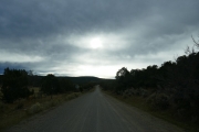
heavy_clouds
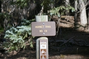
hornet_trail_sign
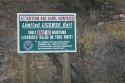
hunting_sign
into_the_trees
lone_cone
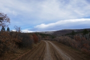
mellow
morning_cows
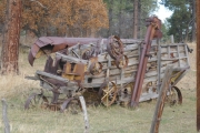
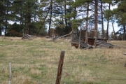
old_equipment
possible_sunshine
ranchers_long_gone
rimrocker_trail_sign
road_with_a_view
ruts_part_1
ruts_part_2
ruts_part_3
ruts_part_4
ruts_part_5
san_miguel_river_bridge
seasonal_closure_sign
sign_at_pavement_end
start_of_the_dirt
start_of_the_trail
switchback
tall_aspens
trailhead
uncompahgre
valley_view
warning_sign
wavy
winter_aspens
Join Us!
If you aren’t a Member or Subscriber, you can’t see all of the content on this site. Get membership information to see why this site is best when you join and log in
Information for Subscribers

When you log in you’ll see more information here:

  • Recent Community Forum posts
  • Recent polls
  • Upcoming Events you can attend
  • Links to online users

© 2000-2022 · TrailDamage.com · Terms and Conditions · About · Contact
Trail information is only accurate on the date posted. Trails may have changed or closed since that date. Use this information for historical purposes only.
Contact the Forest Service or Bureau of Land Management for up-to-date trail information.

/* ----------------------------------------- */ /* View slug: reports-other-reports-for-same-trail-slider - start */ /* ----------------------------------------- */ /* place the prev/next controls on the sides */ .td-transition-controls .wpv-filter-next-link, .td-transition-controls .wpv-filter-previous-link { border: none; font-size: 300%; position: absolute; top: 70px; } .td-transition-controls .wpv-filter-previous-link { left: 0; } .td-transition-controls .wpv-filter-next-link { right: 0; } /* center the page selector horizonatally */ .td-transition-controls ul.wpv_pagination_dots { text-align: center; margin-top: 10px; } /* center the page selector horizonatally */ .td-transition-controls ul.wpv_pagination_dots li.wpv_pagination_dots_item, .td-transition-controls .wpv_pagination_dots li a { display: inline-block; float: none; } /* remove the default styles */ .td-transition-controls .wpv_pagination_dots li a { text-decoration: none; border-bottom: none; } .td-slider-container { padding: 0 25px; margin-bottom: 20px; position: relative; width:100%; display:table; } .td-slides { position: relative; } .td-slides-image { float:left; display:table-cell; } .td-slides-image img { border:1px solid #c0c0c0; } .td-slides-content { padding:4px 4px 4px 10px; border-top:1px solid #c0c0c0; border-right:1px solid #c0c0c0; border-bottom:1px solid #c0c0c0; display:table-cell; height:227px; overflow:hidden; } .td-slides-content h3 { margin-top:8px; } .td-slides-leader { font-size:smaller; margin-top:4px; } /* ----------------------------------------- */ /* View slug: reports-other-reports-for-same-trail-slider - end */ /* ----------------------------------------- */
/* ----------------------------------------- */ /* Content Template: Template for a Single Report - start */ /* ----------------------------------------- */ .entry-header { display:none; } .entry-content h1 { margin-top:16px; padding-top:0; } h1 a { color:#222; } h1 a:hover { color:#666; } p.entry-meta { font-size:small; } #report-body-spacer { clear:both; width:100%; height:20px; } #addtoany-bar { margin-bottom:2em; text-align:center; } .category-reports .post-info .author, .post-info .date { display: none; } .addthis_recommended_horizontal { text-align:center !important; } /* ----------------------------------------- */ /* Content Template: Template for a Single Report - end */ /* ----------------------------------------- */ /* ----------------------------------------- */ /* Content Template: Loop item in REPORTS Runners - start */ /* ----------------------------------------- */ #runners-container { width:100%; clear:both; } .runner { border:1px solid #c0c0c0; margin:0 6px 6px 0; float:left; width:49%; height:81px; } .runner-image { float: left; } .runner-image img { margin:2px 10px 0 2px; height:75px; width:75px; } .runner-name { text-transform:uppercase; } .runner-name a { color:#222; } .runner-name a:hover { color:#666; } .runner-vehicle { font-size:small; } @media only screen and (max-width: 768px) { .runner { width:100%; } } /* ----------------------------------------- */ /* Content Template: Loop item in REPORTS Runners - end */ /* ----------------------------------------- */