

TrailDamage.com

Photos, videos and information about 4x4 trails in Colorado and Utah

  • Trails
    • Colorado
    • Utah
  • Reports
    • Featured Photos
    • Reports Calendar
  • Members
  • Search
  • FAQ
  • Community
  • Upcoming Events
  • Membership
  • Log In
  • Facebook
  • Instagram
  • RSS
  • Twitter
  • YouTube
  • Trails
    • Colorado
    • Utah
  • Reports
    • Featured Photos
    • Reports Calendar
  • Members
  • Search
  • FAQ
  • Community
  • Upcoming Events
  • Membership
  • Log In

Mount Antero 030830

August 30, 2003 by Monica

Mount Antero

Trail Run on August 30, 2003
Report and photos by Monica I., Trail Leader
View trail information for Mount Antero

Monica I.
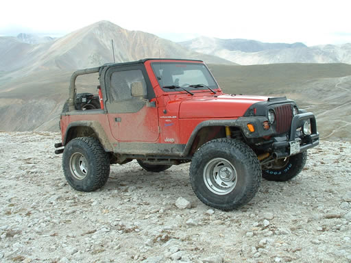
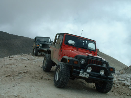
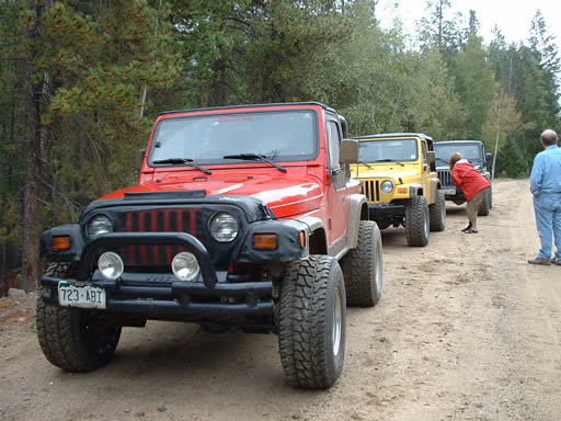
Red 2010 Jeep Wrangler Rubicon
Jenn L.
Yellow 2001 Jeep Wrangler
Ladd G.
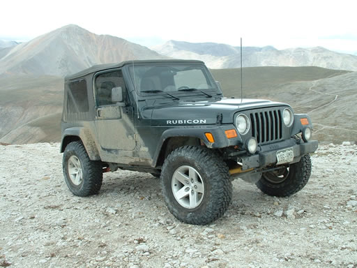
Green 2003 Jeep Wrangler Rubicon

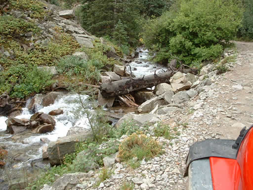
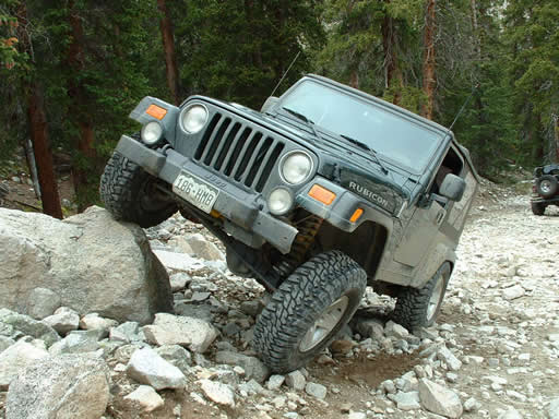
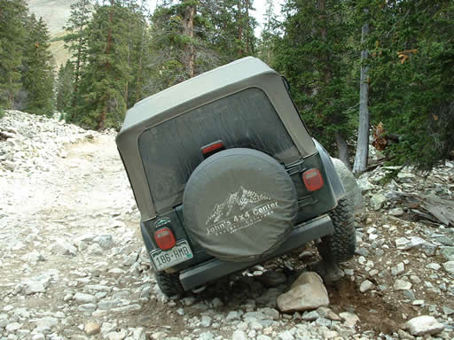
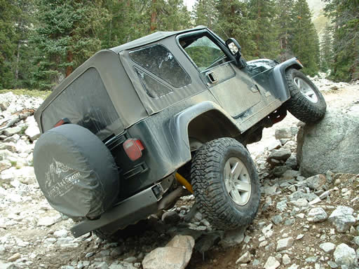
We had been wanting to do this trail for a long time. It's tough to do a trail like Mount Antero when Chinaman's Gulch, Iron Chest and others are in the immediate area. This is a fantastic trail, though, with a very high pucker factor all the way through.

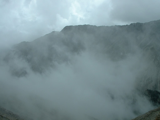
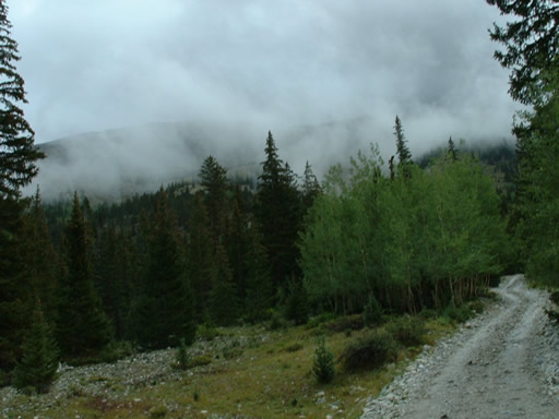
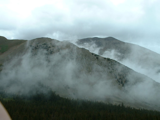
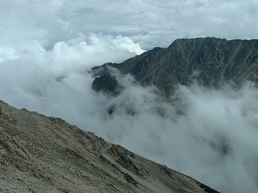
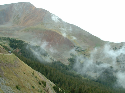
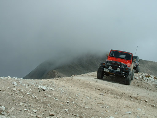
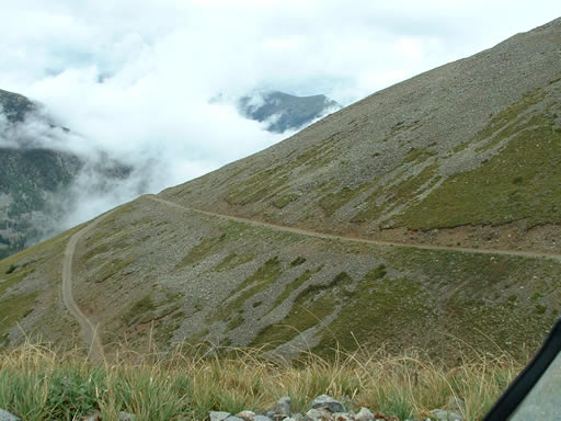
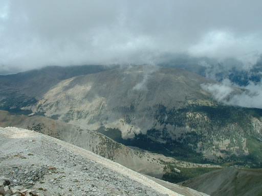
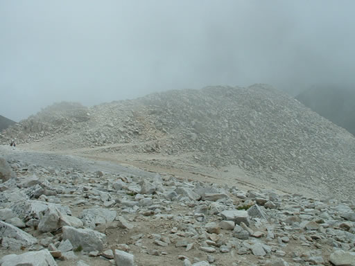
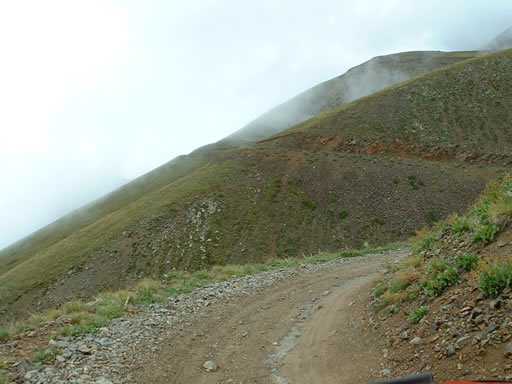
It was supposed to rain all day in Denver and it was raining all the way to the trail so we were thinking we might even see snow when the elevation got really extreme. What happened instead is that we were above the weather all day and we didn't see much more than sprinkles every once in awhile. It was cool to watch the clouds move below us all day.

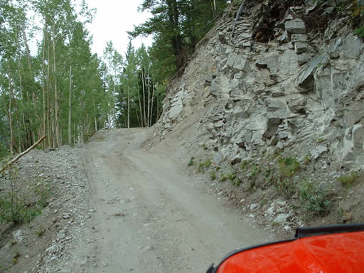
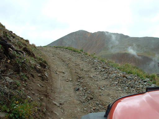
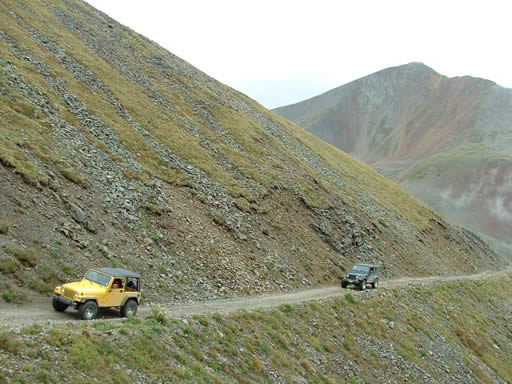
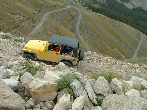
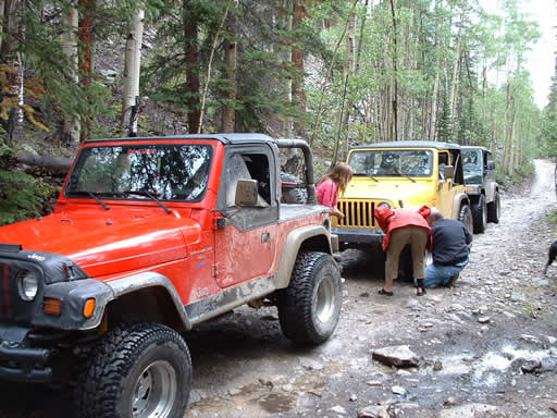
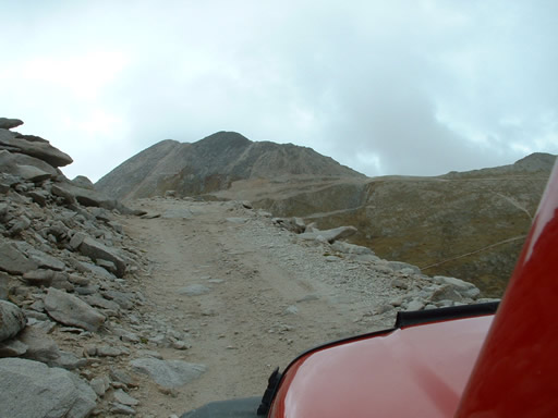
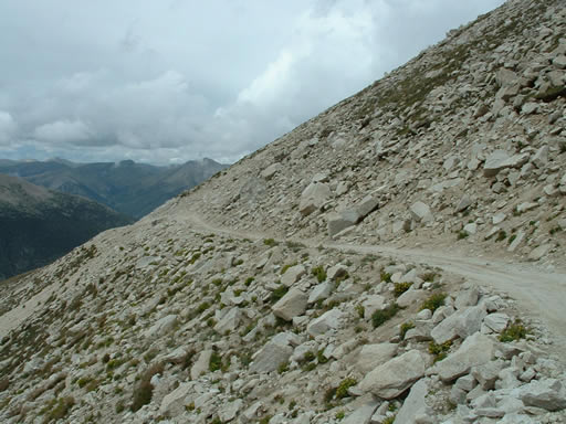
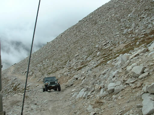
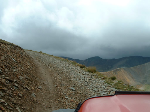
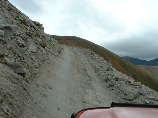
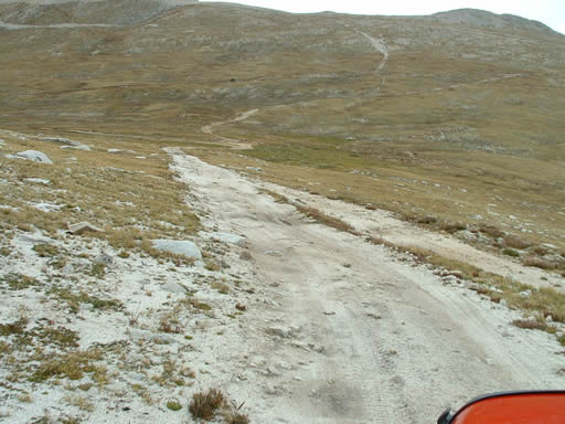
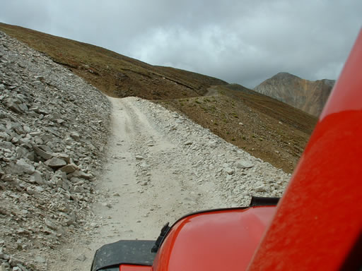
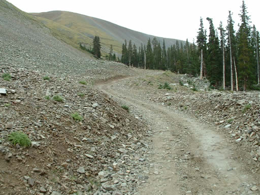
The initial set of switchbacks are pretty severe and tight. But then when we got to the second set of switchbacks Jenn decided she'd had enough so they went back home. The rest of us continued up to the top.

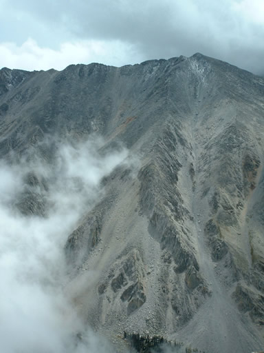
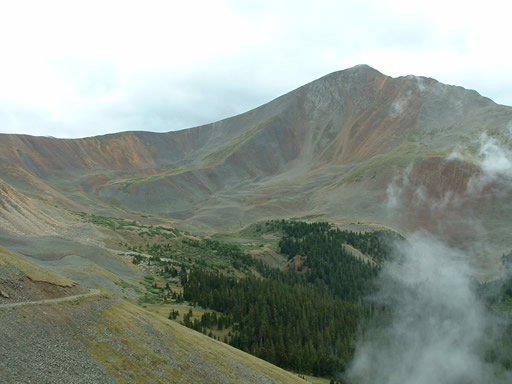
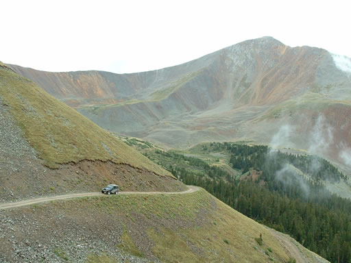
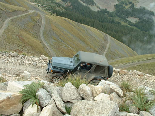
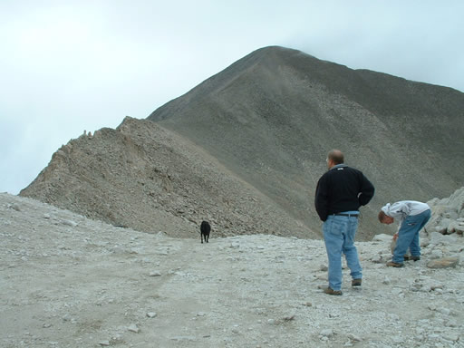
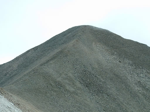
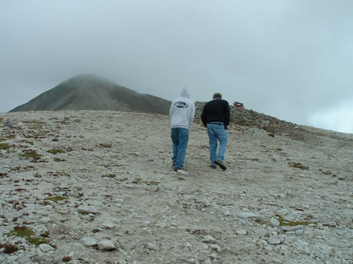
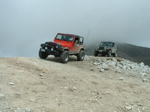
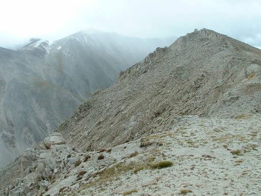
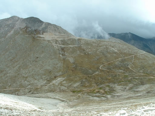
The second set was steep, loose, and challenging in spots. What a rush! We did finally drive up to the top and stopped. It was massively windy and very cold. But what a view! We could see the red Grizzly Mountain, Mount Princeton, and Mount Antero looming over us. The foot trail to the top of Antero looked pretty difficult and it was already hard to breathe so we decided not to hike it. The clouds would move over the peak sometimes and it looked nasty over there anyway.

It was also cool to talk to a group of people digging for gems. They were a group from Arvada and really had a lot of interesting gear and information. They told us that someone had recently found a stick of aquamarine a couple inches long that went for $1000. Pretty nice for a day's work.

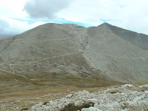
We came down the mountain and went over to Mount White. That was cool too, to watch the clouds in the valley over on the other side, next to Mount Shavano. We should have done that one first, so we could see the trail over on Antero.

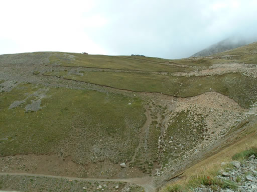
It was easy to see where all the trails went -- you can see for miles up there. It was a fun trip!
airing_down
around_a_bend
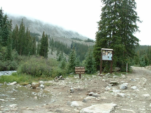
baldwin_creek
beginning_of_the_trail
big_clouds
clouds_moving_in
clouds
cold
coming_back_from_mount_white_part_1
coming_back_from_mount_white_part_2
cool_clouds
curve_to_nowhere
grizzly_mountain_part_1
grizzly_mountain_part_2
jenn_and_ladd
jenn_on_a_switchback
ladd_muddy
ladd_on_a_switchback_part_1
ladd_on_a_switchback_part_2
ladd_on_the_mountain
ladd_posing_part_1
ladd_posing_part_2
ladd_posing_part_3
left_to_mount_antero
looking_at_mount_antero
minor_trail_fix
monica_muddy
mount_antero_in_clouds
mount_antero_trail
mount_white_in_the_distance
narrow_road
parked_at_the_top
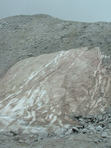
purple_snow
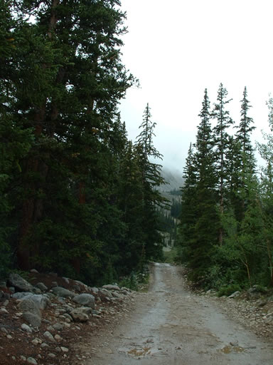
rain_on_the_trail
rocks
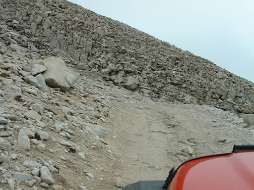
rocky
shelf_road
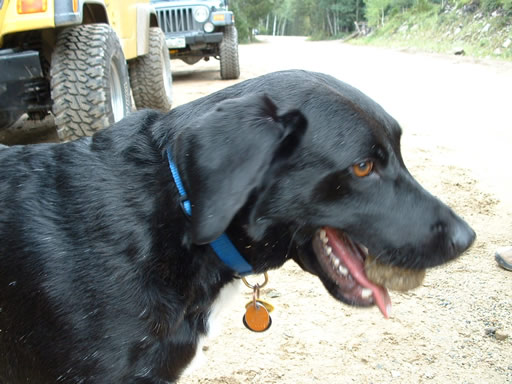
sid_with_a_rock
start_of_the_switchbacks
switchbacks_part_1
switchbacks_part_2
tight_curve
tippy
top_of_mount_white
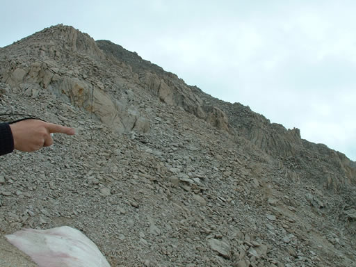
top_of_south_antero
valley
view_from_mount_white_part_1
view_from_mount_white_part_1view_from_mount_white_part_2
view_from_mount_white_part_3
view_from_the_top
view_of_mount_white
weather
white_to_green

Reports from Other Days: 5

Use the arrows or dots to flip through the previews of the other reports for Mount Antero. Click one of them to read more and see all of the photos from that day.

August 20, 2010

Led by Matt K.
Mount Antero was going to be our third trail for the day. We were happy to find that the weather…
« »
  • 1
  • 2
  • 3
  • 4
  • 5
Join Us!
If you aren’t a Member or Subscriber, you can’t see all of the content on this site. Get membership information to see why this site is best when you join and log in

Information for Subscribers

When you log in you’ll see more information here:

  • Recent Community Forum posts
  • Recent polls
  • Upcoming Events you can attend
  • Links to online users

© 2000-2026 · TrailDamage.com · Terms and Conditions · About · Contact
Trail information is only accurate on the date posted. Trails may have changed or closed since that date. Use this information for historical purposes only.
Contact the Forest Service or Bureau of Land Management for up-to-date trail information.