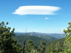
Miller Rock

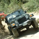
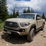
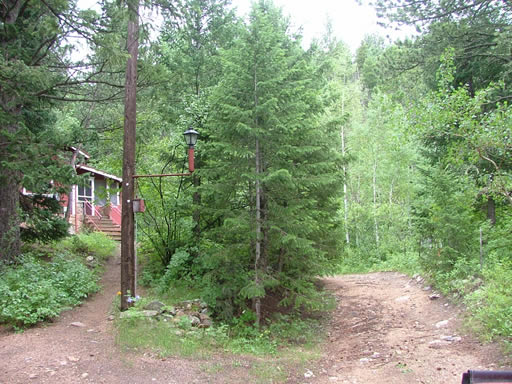
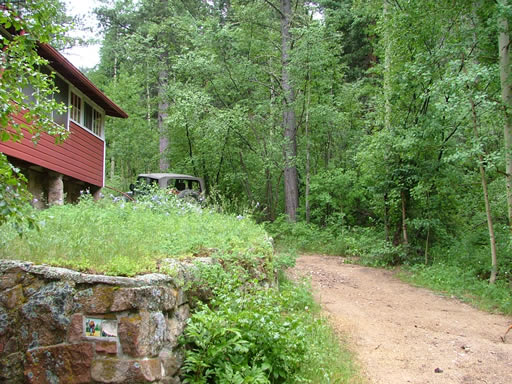
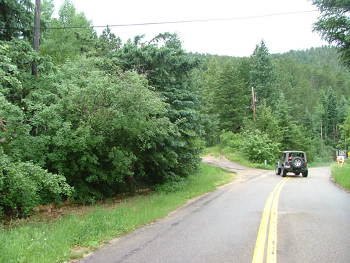
This has to be the most difficult trail to find in the state. Luckily Sean knew the way and we found the trailhead without any difficulty. We pulled onto the trail and past the house to air down.
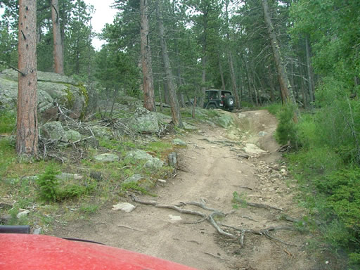
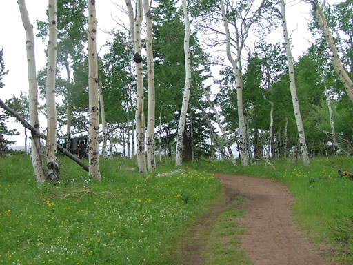
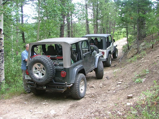
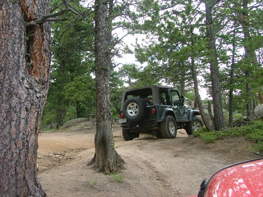
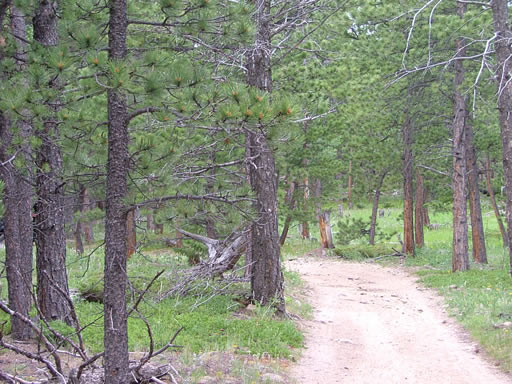
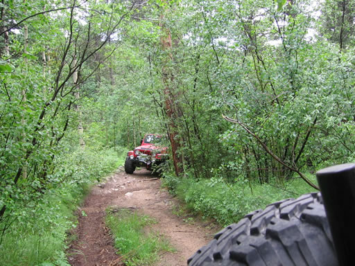
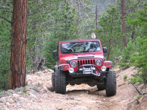
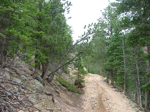
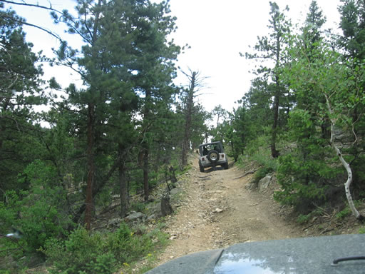
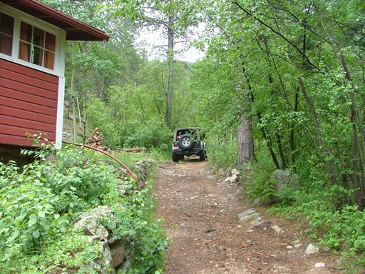
It was pretty chilly (about 60 degrees) and raining off and on as we started. Everything was wet, making the trail even better. It started off pretty narrow and stayed that way for awhile as we worked our way up the switchbacks.
Two motorcycles came up behind us and had a hard time getting by because it was so narrow and steep where we were. Other than that we didn't see anyone else.
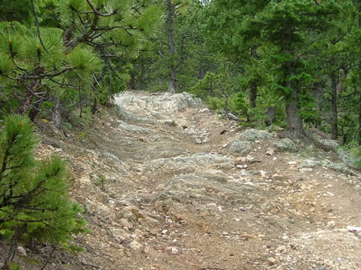
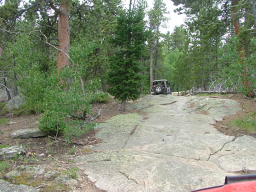
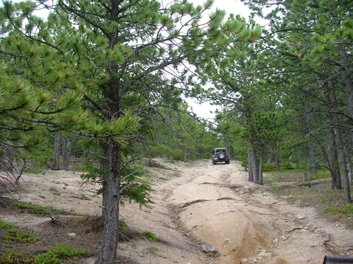
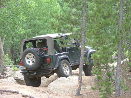
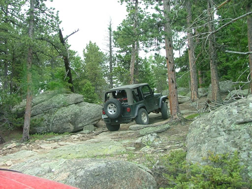
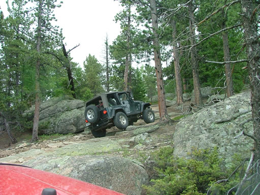
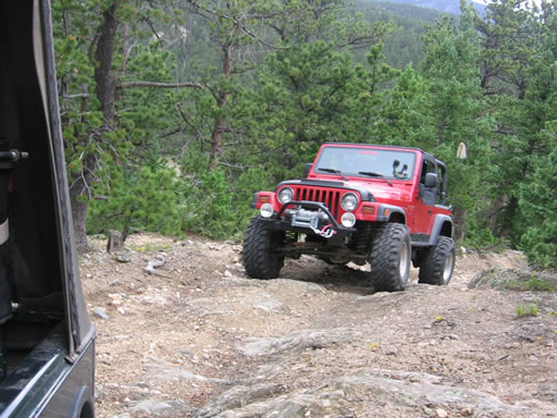
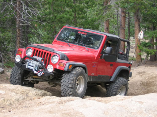
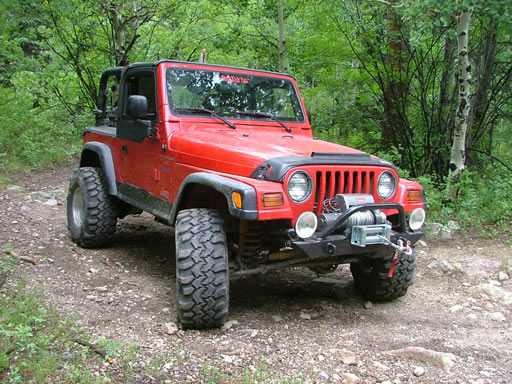
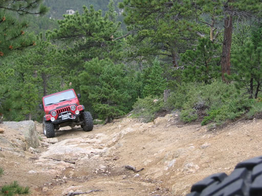
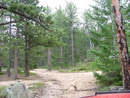
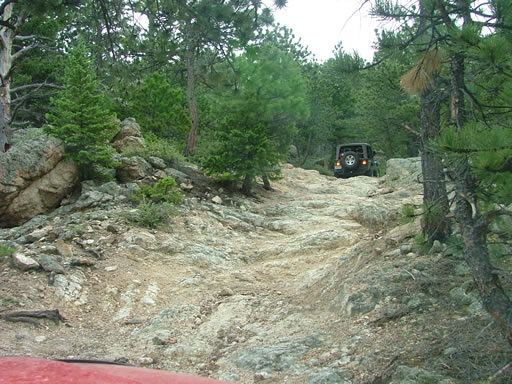
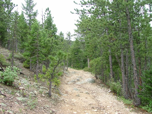
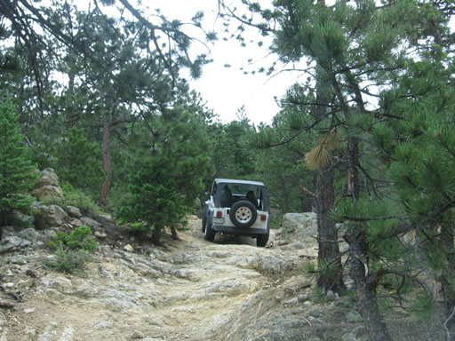
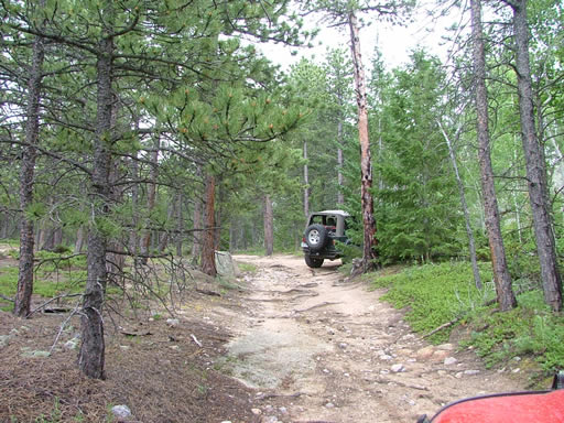
This ended up being a really great trail. It would be difficult to bring a large group to it, and many capable vehicles would have trouble with the steep obstacles slick with sand. It was a long time before we were completely horizontal again. The trail alternated between sandy climbs and rocky sections in the climbs. This could easily be intimidating because you are constantly climbing.
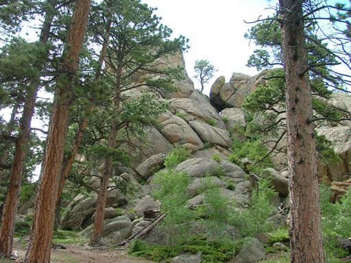
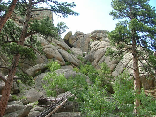
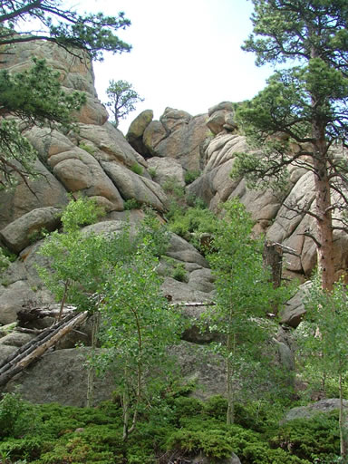
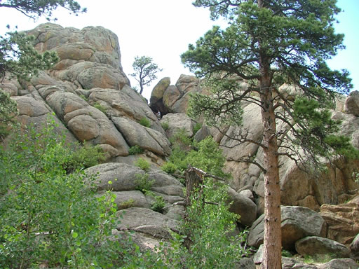
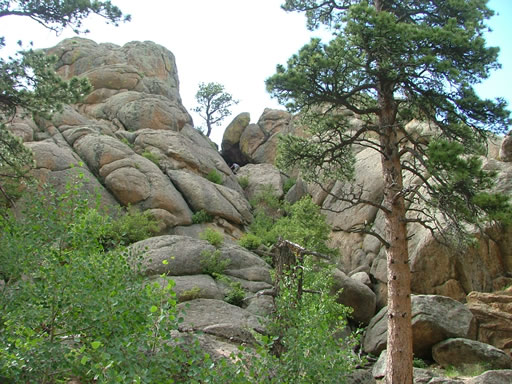
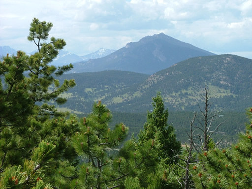
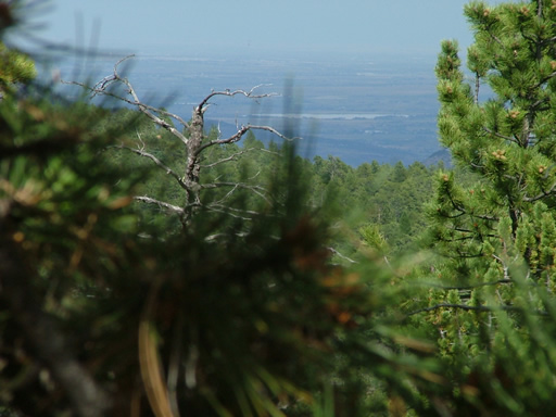
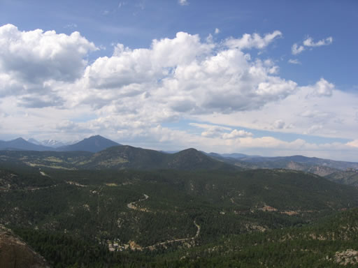
When we got to Miller Rock we could park sideways and almost be horizontal. Sean hiked to the top to check out the views while Monica and Ladd walked around to the other side. You could see in many directions from there. The front range was visible in one direction and Mount Meeker and Longs Peak were in the other direction. It was beautiful as the weather cleared up a little and it wasn't raining.
We kept going after a little break and it seemed like the best idea at each spur to turn right. There was one area where a right turn took Sean (our scout) to a dead end but it wasn't a big detour. Either keep going downhill after Miller Rock or turn right if there is a questionable intersection.
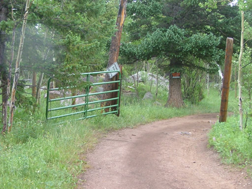
After a little bit we came to an open gate marked "private property" but we had just crossed paths with someone else coming up so we figured it would be okay. At least we'd go so far as to find someone to ask.
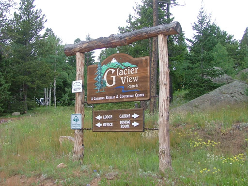
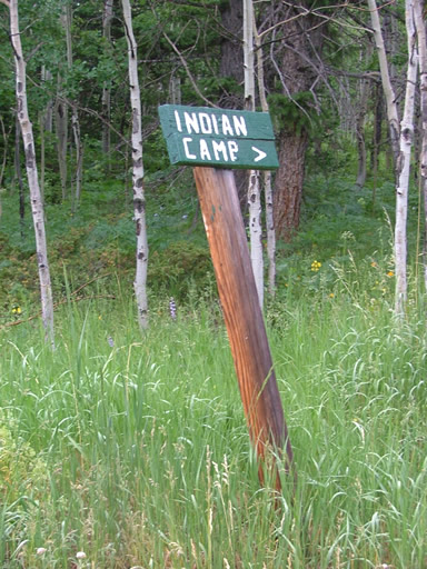
We ended up in the Glacier View Ranch camp as the boys and girls were headed to the dining hall for dinner. We slowly worked our way through the camp and no one paid any attention so it seemed okay to use that road.
We aired up in a small area near the highway after coming down the dirt road from the camp. Sean and Monica went to eat in Ward and hoped that it would warm up a little. Sean had no windows in his Jeep and it was raining and about 45 degrees. We had dinner but it didn't warm up -- Colorado in July can have some crazy weather! It was a great trail and we hope to do it again very soon.

Reports from Other Days: 2
Use the arrows or dots to flip through the previews of the other reports for Miller Rock. Click one of them to read more and see all of the photos from that day.