TrailDamage.com

Photos, videos and information about 4x4 trails in Colorado and Utah

  • Trails
    • Colorado
    • Utah
  • Reports
    • Featured Photos
    • Featured Videos
    • Reports Calendar
  • Members
  • Search
  • Trail Damage Winners
  • FAQ
  • Community
  • Upcoming Events
  • Membership
  • Log In
  • Facebook
  • Instagram
  • RSS
  • Twitter
  • YouTube

McInnis Canyons 071016

October 16, 2007 by Monica

McInnis Canyons

Trail Run on October 16, 2007
Report and photos by Monica I., Trail Leader
View trail information for McInnis Canyons

Don W.
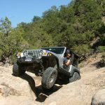
Silver 2005 Jeep Wrangler Rubicon
Mike S.
Silver 2004 Jeep Wrangler Rubicon
Michael M.
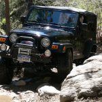
Black 2006 Jeep Wrangler Unlimited Rubicon

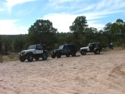
We had plans to leave very early in the morning and hike Rattlesnake Canyon on our way to spending almost a week in Moab. We left at 7AM from Downieville and ate lunch at the McInnis Canyons trailhead. We were definitely on schedule, and the weather was fantastic.

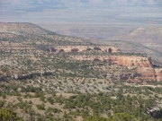
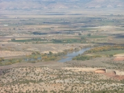
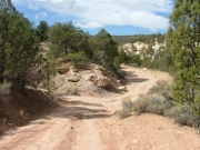
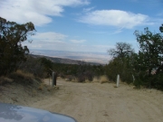
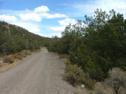
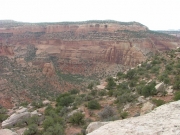
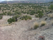
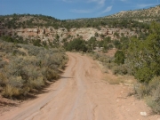
We took the Upper Road, and the views from the majority of the trail were very nice. Eventually, you could see the town of Fruita, the Colorado River, the trains moving below us, and even cars on I-70. We couldn't ask for a better day.

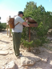
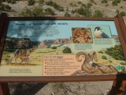
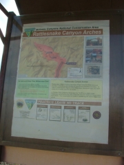
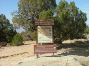
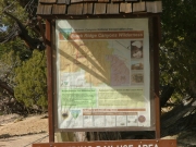
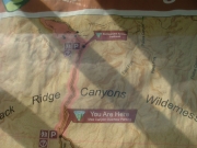
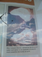
We figured we didn't have time to also hike Mee Canyon, but we stopped at the kiosk to get more information. Pictures of the Mee Alcove looked very interesting. We'll have to come back another day when we can use the Upper Road.

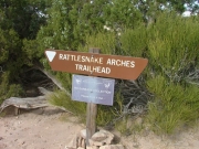
It was easy going to get to the parking area for Rattlesnake Canyon. When we got there, some other people were coming back up. They said that they really enjoyed the hike, and we were anxious to get started.

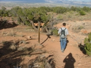
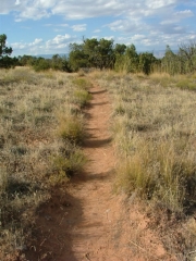
The whole way to the crossroads was wide enough for vehicles, though it would have made the trail much harder if it was still open to 4x4 rigs. It was easy to hike, though.

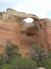
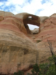
We really couldn't decide which way to go first. The hike to the top of Cedar Tree Arch was much shorter, so we did that one first. We hoped to go down through the arch.

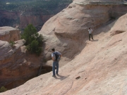
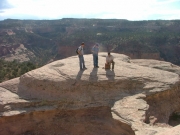
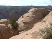
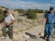
It was much steeper than we thought it was going to be! Mike worked his way down, almost to the bottom. Monica was a passenger this time, and she decided that the slide down the slickrock was too adventurous for her. That meant that Mike had to work his way back up. By the time he got to the crossroads he was exhausted, and he decided to go back and wait for us at the Jeeps. The rest of us went on and did the other section of the hike.

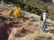
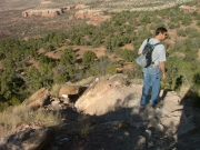
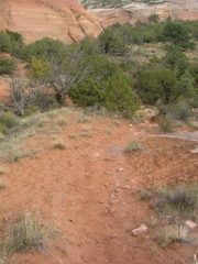
The trail between the crossroads and the intersection with Pollock Bench is by far the hardest. It's very steep, and it's almost like you're following run-off down the sandy hill. It's tough on the way down, but much tougher on the way up.

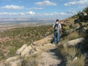
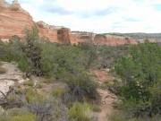
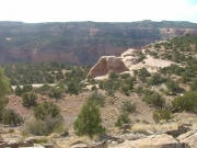
The rest of the hike after the Pollock Bench intersection is easy. The first side of the butte is fairly uneventful, with more good views of the valley. Then you come around to the other side and the sights are incredible.

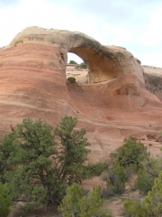
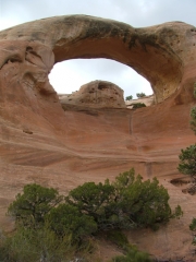
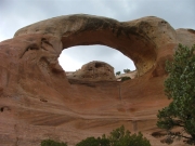
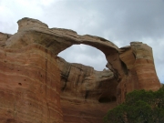
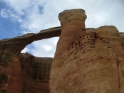
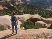
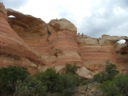
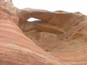
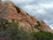
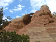
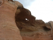
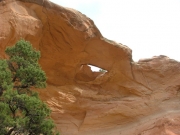
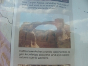
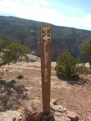
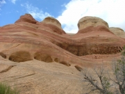
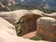
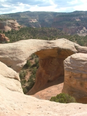
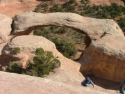
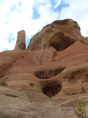
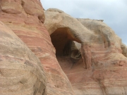
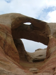
The first arch is right on the other side. It's an unnamed arch right next to Hole-in-the-Bridge Arch. Centennial Arch is our new favorite, also known as Akiti Arch or East Rim Arch. It is very long and very thin, and it looks like it could come down at any minute.

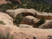
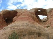
Overhanging Arch and Eye Arch are pretty similar, with a small hole in a wide, flat, horizontal surface. Trap Arch was also pretty cool.

When we got to the bottom of Cedar Tree Arch it definitely looked easier to climb up than it did to climb down. Still, it was getting late and we didn't want to spend a lot of time there only to find out we couldn't climb up it. We decided to go all the way back around.

When we got back, it really looked like rain. There is a portion of the 4x4 trail that is clay, and if it gets wet it's impossible to drive on (or even walk on). We hurried, and made it back out to the trailhead before the rain and before the light was completely gone.

We worked our way out of the Colorado National Monument and were back out to I-70 in full darkness. We headed off to Moab, starting our trip off in the best way possible. We can't wait to go back and check out more of McInnis Canyons.

airing_down
arches_in_the_distance
big_sky
black_hole
bottom_of_cedar_tree_arch_part_1
bottom_of_cedar_tree_arch_part_2
bottom_of_cedar_tree_arch_part_3
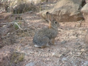
bunny
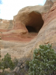
cave_next_to_cedar_tree_arch
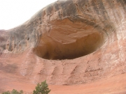
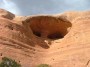
caves
centennial_arch_part_1
centennial_arch_part_2
centennial_arch_part_3
colorado_river
cool_rocks
don_above_cedar_tree_arch
don_and_mike_above_cedar_tree_arch
don_at_the_intersection_with_pollock_bench
don_hiking_down_the_steep_hill_part_1
don_hiking_down_the_steep_hill_part_2
don_hiking_down_the_steep_hill_part_3
don_michael_and_mike
down_cedar_tree_arch
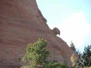
eagle_head_rock_part_1
eagle_head_rock_part_2
early_climb
end_of_lower_road
eye_arch_and_centennial_arch
eye_arch
first_intersection
first_lower_road_gate
first_sight_of_arches
hike_by_the_arches
hike_to_arches
hole-in-the-bridge_arch_part_1
hole-in-the-bridge_arch_part_2
hole-in-the-bridge_arch_part_3
leaving_colorado_national_monument
lower_road_gate
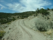
lower_road
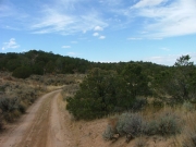
mellow_hiking_trail
mellow_trail
mike_and_michael
mike_signing_in
overhanging_arch_part_1
overhanging_arch_part_2
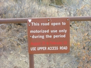
public_access_sign
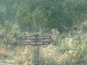
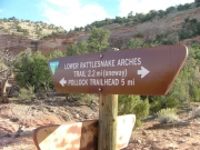
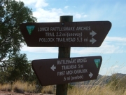
rattlesnake_arches_hike_sign_1
rattlesnake_arches_hike_sign_2
rattlesnake_arches_hike_sign_3
rattlesnake_arches_hike_sign_4
rattlesnake_arches_hike_sign_5
rattlesnake_canyon_part_1
rattlesnake_canyon_part_2
second_intersection_kiosk_part_1
second_intersection_kiosk_part_2
second_intersection_kiosk_part_3
second_intersection_kiosk_part_4
second_intersection_kiosk_part_5
second_intersection_kiosk_part_6
sign_at_intersection_with_pollock_bench_trail
sign_at_rattlesnake_canyon_crossroads
sign_at_the_bottom_of_cedar_tree_arch
sign_to_top_of_cedar_tree_arch
start_of_rattlesnake_canyon_hike
start_of_the_trail
striped_slickrock
top_of_cedar_tree_arch_part_1
top_of_cedar_tree_arch_part_2
top_of_cedar_tree_arch_part_3
top_of_cedar_tree_arch_part_4
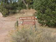
trailhead_sign_1
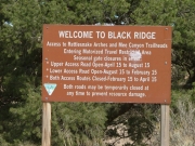
trailhead_sign_2
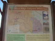
trailhead_sign_3
trailhead_sign_4
trailhead
trap_arch
twin_arch
unnamed_arch_and_hole-in-the-bridge_arch
upper_road_gate
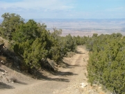
view_from_lower_road
view_towards_fruita
Join Us!
If you aren’t a Member or Subscriber, you can’t see all of the content on this site. Get membership information to see why this site is best when you join and log in
Information for Subscribers

When you log in you’ll see more information here:

  • Recent Community Forum posts
  • Recent polls
  • Upcoming Events you can attend
  • Links to online users

© 2000-2021 · TrailDamage.com · Terms and Conditions · About · Contact
Trail information is only accurate on the date posted. Trails may have changed or closed since that date. Use this information for historical purposes only.
Contact the Forest Service or Bureau of Land Management for up-to-date trail information.

/* ----------------------------------------- */ /* View slug: reports-other-reports-for-same-trail-slider - start */ /* ----------------------------------------- */ /* place the prev/next controls on the sides */ .td-transition-controls .wpv-filter-next-link, .td-transition-controls .wpv-filter-previous-link { border: none; font-size: 300%; position: absolute; top: 70px; } .td-transition-controls .wpv-filter-previous-link { left: 0; } .td-transition-controls .wpv-filter-next-link { right: 0; } /* center the page selector horizonatally */ .td-transition-controls ul.wpv_pagination_dots { text-align: center; margin-top: 10px; } /* center the page selector horizonatally */ .td-transition-controls ul.wpv_pagination_dots li.wpv_pagination_dots_item, .td-transition-controls .wpv_pagination_dots li a { display: inline-block; float: none; } /* remove the default styles */ .td-transition-controls .wpv_pagination_dots li a { text-decoration: none; border-bottom: none; } .td-slider-container { padding: 0 25px; margin-bottom: 20px; position: relative; width:100%; display:table; } .td-slides { position: relative; } .td-slides-image { float:left; display:table-cell; } .td-slides-image img { border:1px solid #c0c0c0; } .td-slides-content { padding:4px 4px 4px 10px; border-top:1px solid #c0c0c0; border-right:1px solid #c0c0c0; border-bottom:1px solid #c0c0c0; display:table-cell; height:227px; overflow:hidden; } .td-slides-content h3 { margin-top:8px; } .td-slides-leader { font-size:smaller; margin-top:4px; } /* ----------------------------------------- */ /* View slug: reports-other-reports-for-same-trail-slider - end */ /* ----------------------------------------- */
/* ----------------------------------------- */ /* Content Template: Template for a Single Report - start */ /* ----------------------------------------- */ .entry-header { display:none; } .entry-content h1 { margin-top:16px; padding-top:0; } h1 a { color:#222; } h1 a:hover { color:#666; } p.entry-meta { font-size:small; } #report-body-spacer { clear:both; width:100%; height:20px; } #addtoany-bar { margin-bottom:2em; text-align:center; } .category-reports .post-info .author, .post-info .date { display: none; } .addthis_recommended_horizontal { text-align:center !important; } /* ----------------------------------------- */ /* Content Template: Template for a Single Report - end */ /* ----------------------------------------- */ /* ----------------------------------------- */ /* Content Template: Loop item in REPORTS Runners - start */ /* ----------------------------------------- */ #runners-container { width:100%; clear:both; } .runner { border:1px solid #c0c0c0; margin:0 6px 6px 0; float:left; width:49%; height:81px; } .runner-image { float: left; } .runner-image img { margin:2px 10px 0 2px; height:75px; width:75px; } .runner-name { text-transform:uppercase; } .runner-name a { color:#222; } .runner-name a:hover { color:#666; } .runner-vehicle { font-size:small; } @media only screen and (max-width: 768px) { .runner { width:100%; } } /* ----------------------------------------- */ /* Content Template: Loop item in REPORTS Runners - end */ /* ----------------------------------------- */