

TrailDamage.com

Photos, videos and information about 4x4 trails in Colorado and Utah

  • Trails
    • Colorado
    • Utah
  • Reports
    • Featured Photos
    • Reports Calendar
  • Members
  • Search
  • FAQ
  • Community
  • Upcoming Events
  • Membership
  • Log In
  • Facebook
  • Instagram
  • RSS
  • Twitter
  • YouTube
  • Trails
    • Colorado
    • Utah
  • Reports
    • Featured Photos
    • Reports Calendar
  • Members
  • Search
  • FAQ
  • Community
  • Upcoming Events
  • Membership
  • Log In

McAllister Gulch 050723

July 23, 2005 by Monica

McAllister Gulch

Trail Run on July 23, 2005
Report and photos by Monica I., Trail Leader
View trail information for McAllister Gulch

Walt S.
Gray 2022 Jeep Wrangler Unlimited Rubicon 392
Mike C.
Red 2012 Jeep Wrangler Unlimited Rubicon
Rob C.
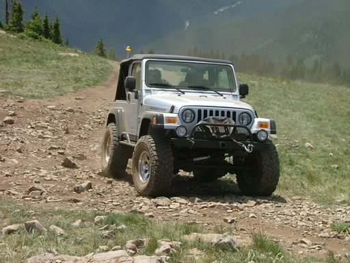
Silver 2003 Jeep Wrangler Rubicon
Monica I.
Red 2010 Jeep Wrangler Rubicon
Steve G.
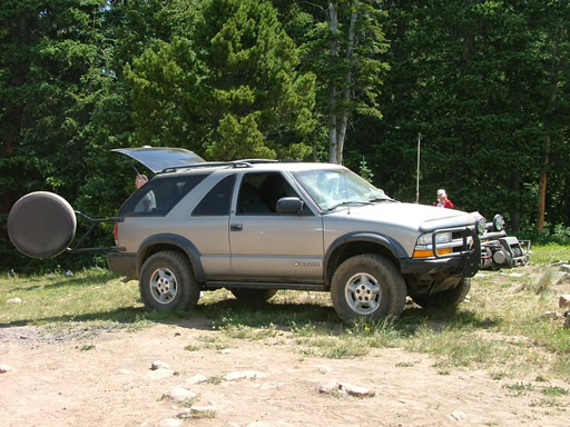
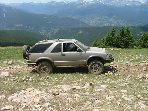
Gold 1999 Chevrolet Blazer
Corrie B.
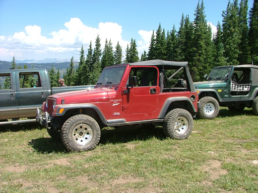
Red 1997 Jeep Wrangler
Eric B.
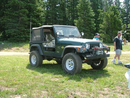
Green 2000 Jeep Wrangler
Jim D.
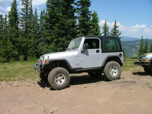
Silver 2003 Jeep Wrangler

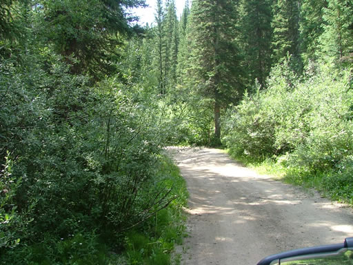
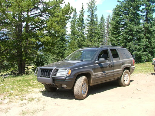
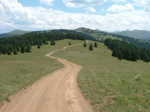
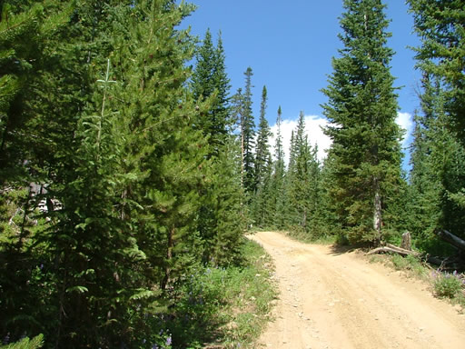
We did this trail along with Ptarmigan Pass for a scenic day in the mountains. It was a beautiful trail and everyone really enjoyed it.

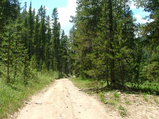
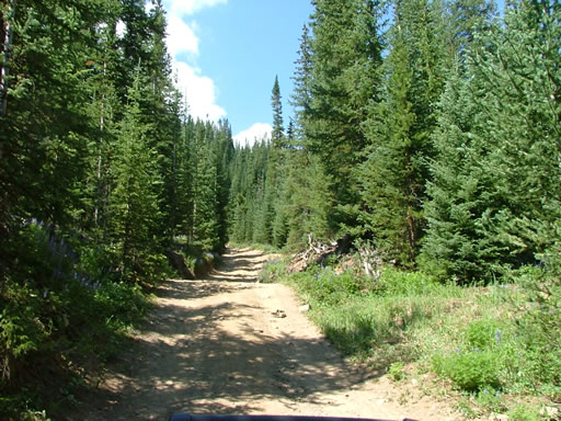
We started from Shrine Pass and immediately met some ATVs coming the other direction. It was difficult getting by them so we all hoped we wouldn't come across any full-sized vehicles (and we didn't).

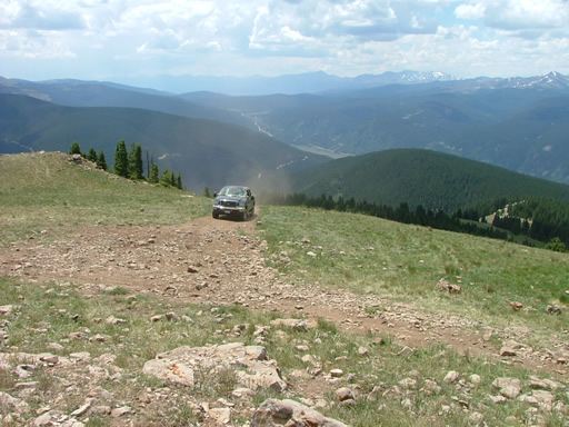
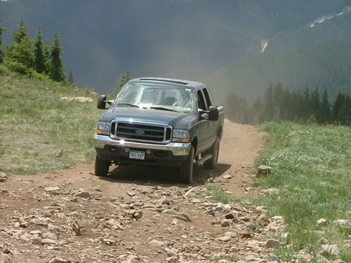
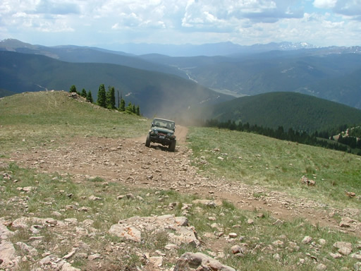
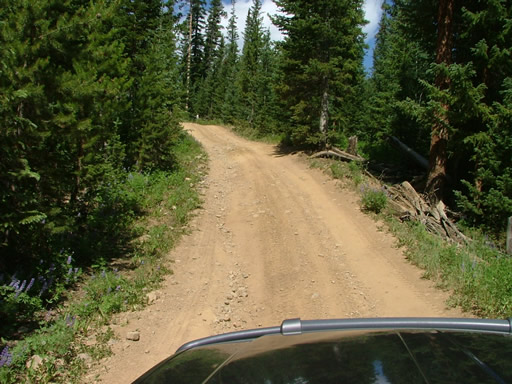
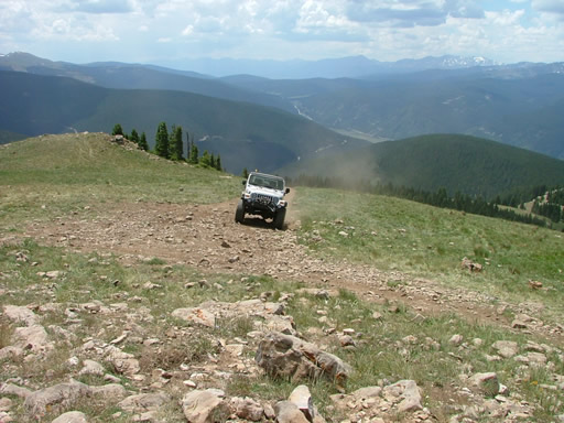
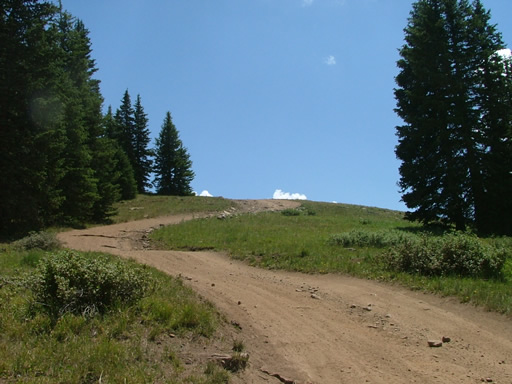
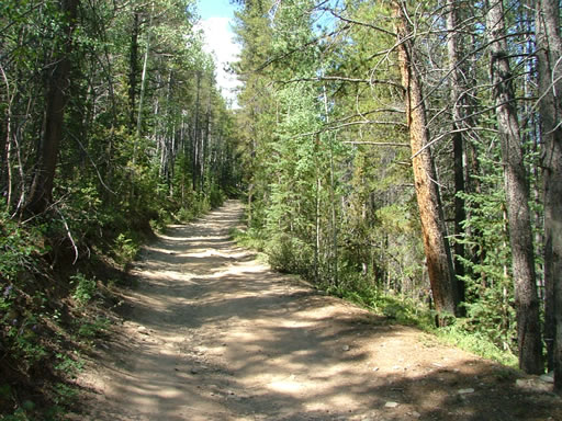
We started up the big hill and met with three vehicles coming down. They managed to get pulled off to the side and we hurried by them. The hill climb was fun and very steep.

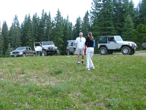
It seemed like we were climbing for a very long time, but finally we saw more of the sky and we could tell we were getting close to the top. When we got to the intersection with the other trail we pulled over to have lunch.

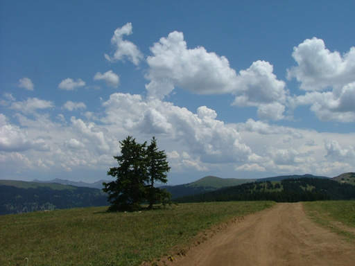
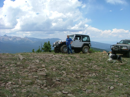
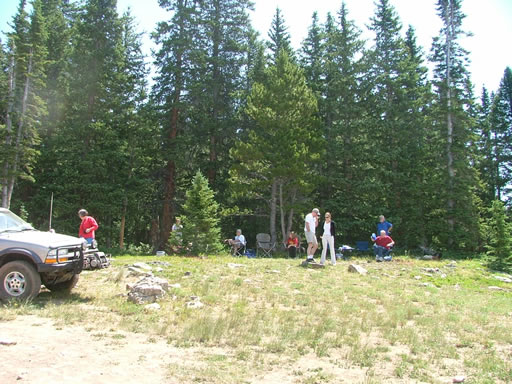
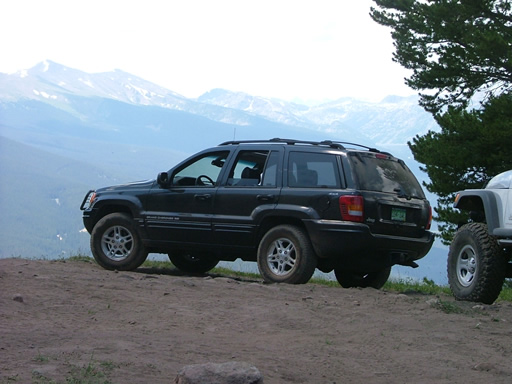
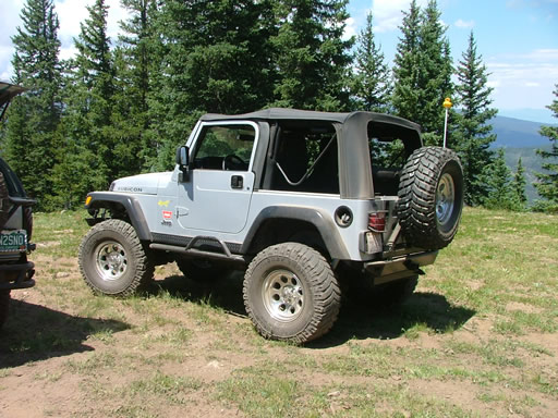
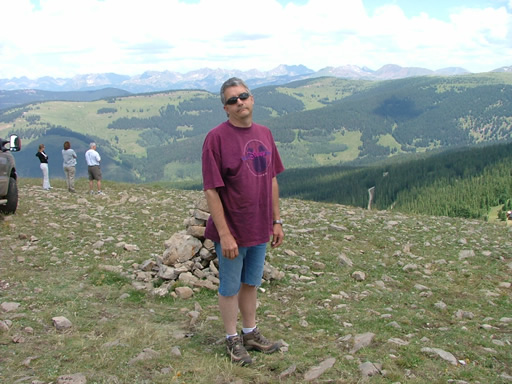
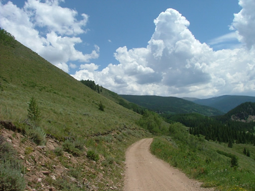
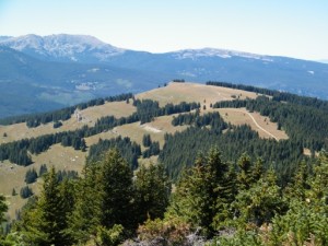
Our lunch spot was gorgeous! The sun was shining and the mountains were beautiful as we all snapped pictures and enjoyed our lunches. A few other vehicles stopped where we were to enjoy the view, and many ATVs went by.

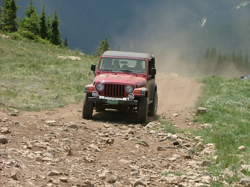
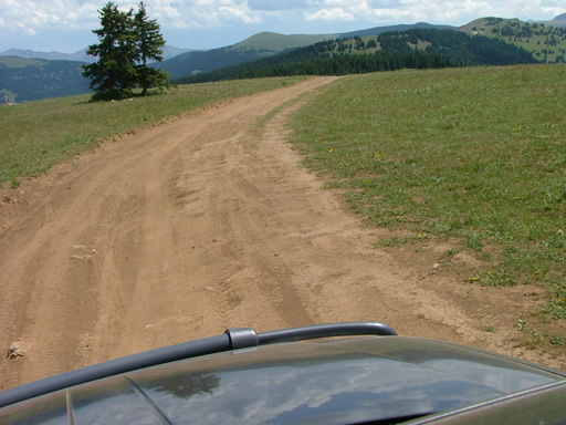
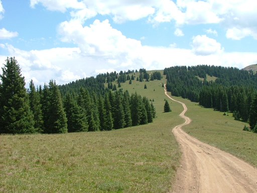
We got back on the trail and it was very dusty as we crossed the meadow. We all turned left and worked our way up to Resolution Mountain.

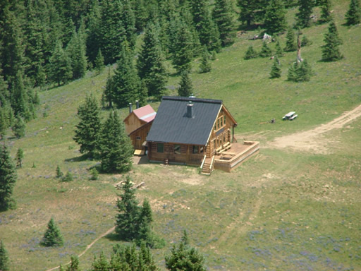
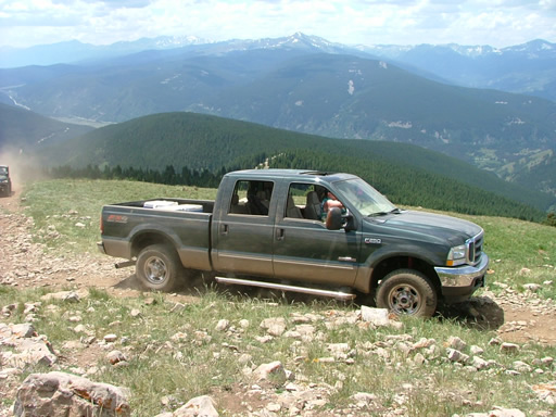
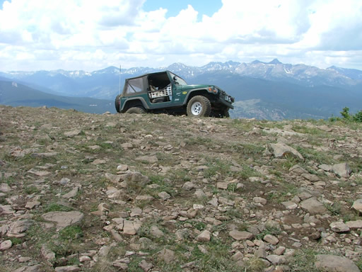
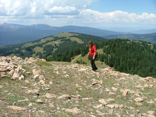
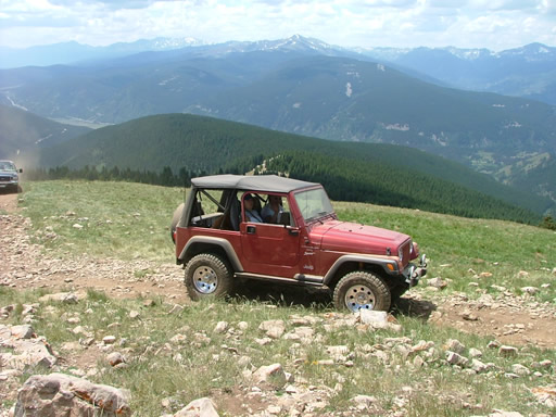
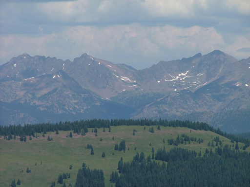
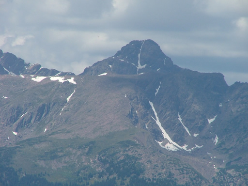
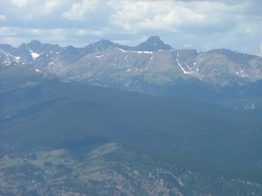
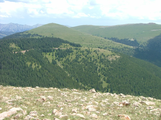
The views from the top of the mountain were even better than they were at our lunch spot. You could still see Mt. Holy Cross, and you could also see Ptarmigan Pass. We could see that mountain with a couple of buildings on top of it, and later on we would be at the base of that mountain on our next trail.

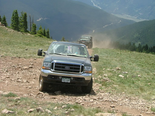
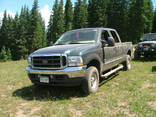
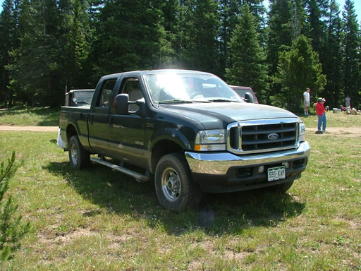
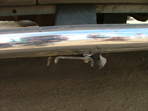
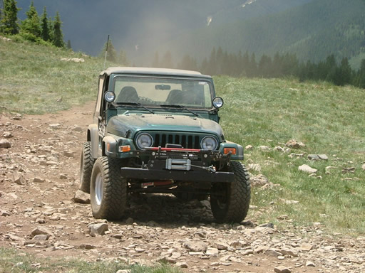
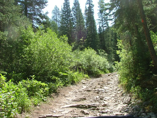
The descent down the trail was surprising because it was quite a bit rockier than what we were expecting, based on the first part of the trail. There were some rocks that gave some of the larger vehicles some trouble, but nothing really challenged the Jeep Wranglers.

The temperature kept increasing as we worked our way down to get a great view of Camp Hale. When we got to the bottom we turned left and started up Ptarmigan Pass.
around_a_bend
at_the_top_of_resolution_mountain
beautiful_day
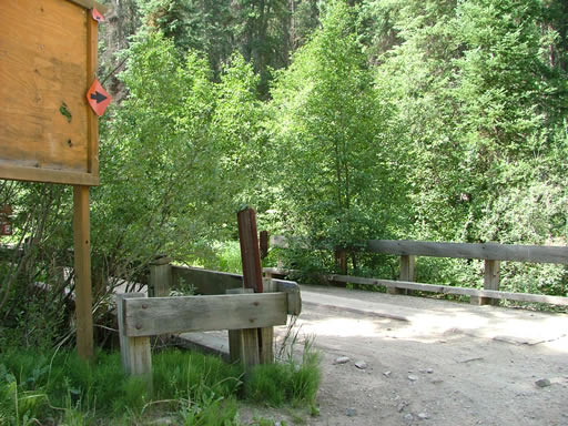
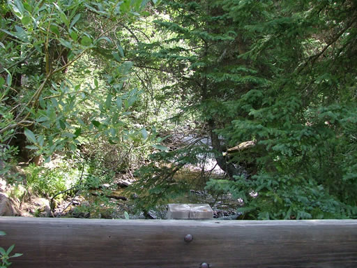
bridge_at_the_trailhead
cabin
camp_hale
climbing
clouds
corrie_and_eric
corrie_at_lunch_part_1
corrie_at_lunch_part_2
corrie_trail_damage_part_1
corrie_trail_damage_part_2
corrie_up_resolution_mountain_part_1
corrie_up_resolution_mountain_part_2
corrie_up_resolution_mountain_part_3
down_the_other_side
down_to_camp_hale
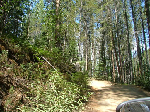
early_trail
eric_at_lunch
eric_up_resolution_mountain_part_1
eric_up_resolution_mountain_part_2
eric_up_resolution_mountain_part_3
exploring_resolution_mountain
finally_seeing_the_sky
jim_at_lunch
jim_on_resolution_mountain
lunch_part_1
lunch_part_2
lunch_part_3
lush_green
many_trails_in_the_distance
mike_at_lunch
mike_up_resolution_mountain_part_1
mike_up_resolution_mountain_part_2
mike_up_resolution_mountain_part_3
monica_at_lunch_part_1
monica_at_lunch_part_2
mountain_view
mountains
mt_holy_cross_part_1
mt_holy_cross_part_2
mt_holy_cross_part_3
narrow_trail
on_resolution_mountain
open_meadow
rob_at_lunch
rob_up_resolution_mountain_part_1
rob_up_resolution_mountain_part_2
rob_up_resolution_mountain_part_3
rocky_and_narrow
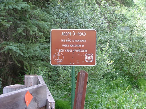
sign_for_adopt-a-road
steve_at_lunch
steve_on_resolution_mountain
to_the_top
trail_at_the_top
trail
trailhead_marker
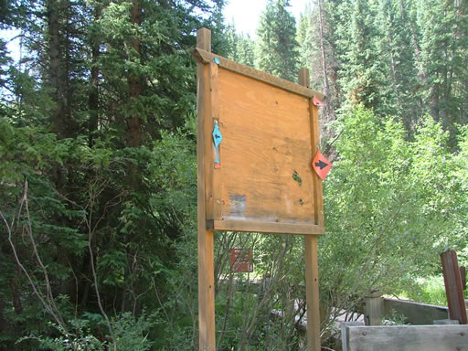
trailhead_sign
up_the_mountain
valley
view_of_ptarmigan_pass
walt_at_lunch
walt_up_resolution_mountain
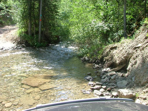
water_crossing_1_part_1
water_crossing_1_part_2
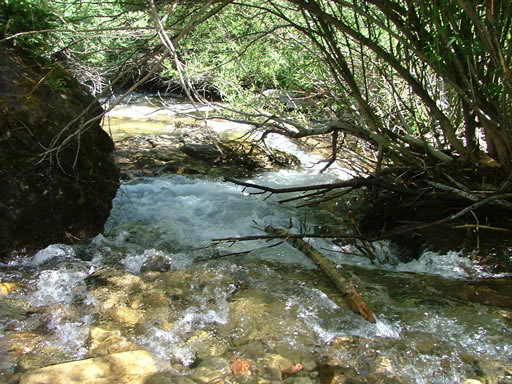
water_crossing_2_part_1
water_crossing_2_part_2
water_crossing_2_part_3
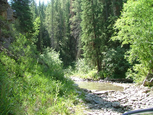
water_crossing_3_part_1
water_crossing_3_part_2
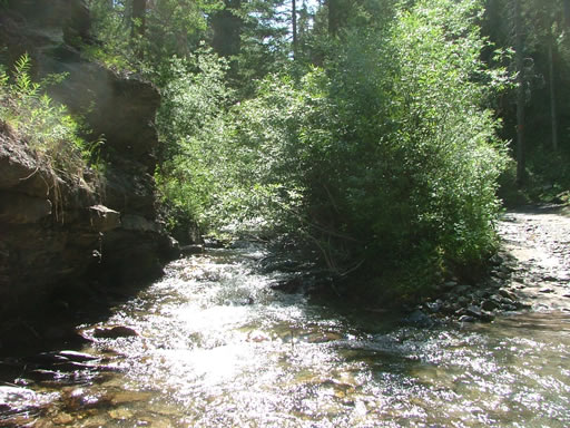
water_crossing_4_part_1
water_crossing_4_part_2
water_crossing_4_part_3
water_crossing_4_part_4
winding_down

Report from a Different Day

September 11, 2010

Led by Monica I.
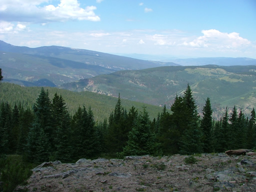
After finishing Ptarmigan Pass we headed up McAllister Gulch to finish the loop. We had recently read that the hill…
Join Us!
If you aren’t a Member or Subscriber, you can’t see all of the content on this site. Get membership information to see why this site is best when you join and log in

Information for Subscribers

When you log in you’ll see more information here:

  • Recent Community Forum posts
  • Recent polls
  • Upcoming Events you can attend
  • Links to online users

© 2000-2026 · TrailDamage.com · Terms and Conditions · About · Contact
Trail information is only accurate on the date posted. Trails may have changed or closed since that date. Use this information for historical purposes only.
Contact the Forest Service or Bureau of Land Management for up-to-date trail information.