Lime Ridge



After completing the Poncha Creek trail, we headed down the Marshall Pass trail to find a network of trails that looked interesting on the available maps. We made good time on the Marshall Pass trail as it was a wide and smooth former railroad right-of-way. We had to keep on the lookout, however, as there were just enough vehicles traveling at a high rate of speed to make it interesting.
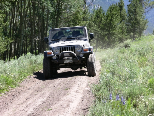
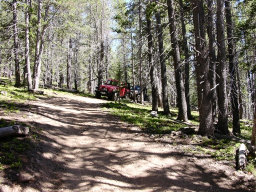
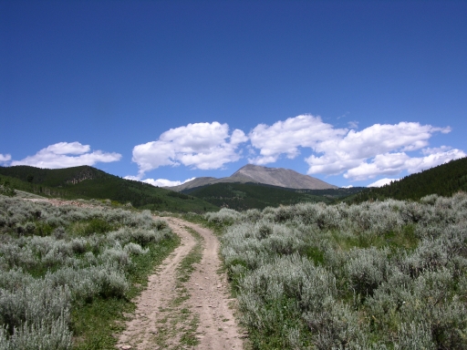
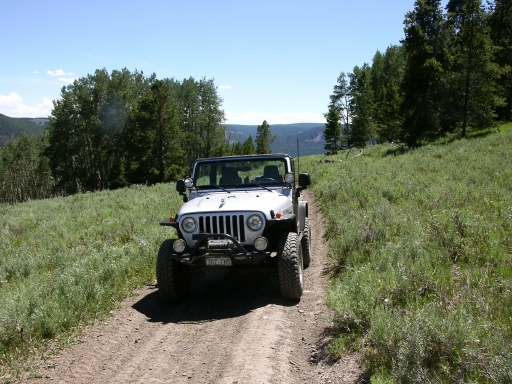
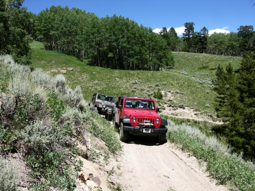
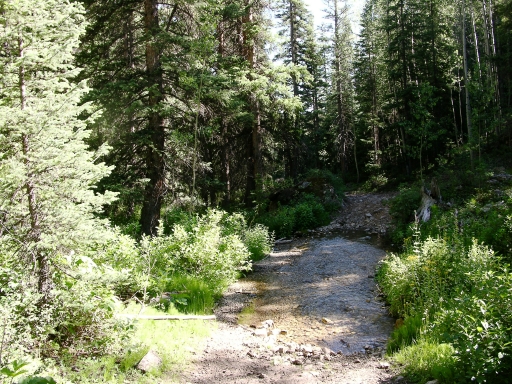
We were soon at the turnout for the Lime Ridge trail where it crosses Millswitch Creek at the old town site for Chester. There were no signs of the townsite that we could see, although there might be ruins off of the main trail. We consulted our GPS units and quickly turned off the main trail and crossed the creek. The trail gained elevation quickly just after leaving the creek and we were soon up into the aspens. This would be a good area for aspen viewing in the fall. The trail appeared to be used mainly by ATVs or motorcycles. Although wide enough for 4x4 vehicles, most of the tracks were made by narrower tracks.
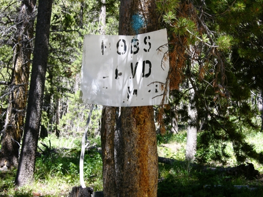
We soon came to the intersection, with the trail to the right marked by a sign proclaiming it to be Bob's Boulevard (SPEED LIMIT 55!). We headed in that direction but soon reached a dead-end shelf road after some cabin ruins. The trail continued on, but was just too narrow for a Jeep. We turned around and headed back to the intersection with Bob's sign.
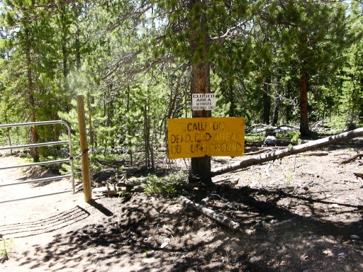
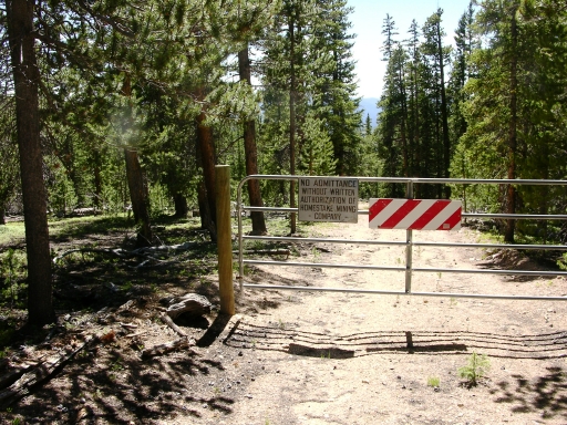
We continued on the spur to the left from where we came up the hill and this continued in a generally north by northeast direction. We came to a crossroads with the gate and "closed" signs, wondering why such a major road would be blocked. We followed the open trail until it intersected with another trail, also blocked to the left. This was getting to be repetitive!
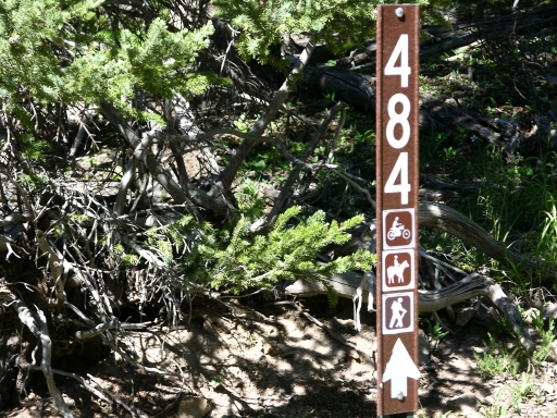
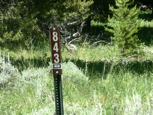
We reached the high point (hardly worth calling a summit as there was no view). The trail turned and continued downhill through the trees. We continued until we intersected with forest service road 843 and then followed this until we were at an intersection with a hiking/biking trail ahead of us and a spur to the left. This spur looked promising but it soon petered out into a track too narrow for Jeeps again.
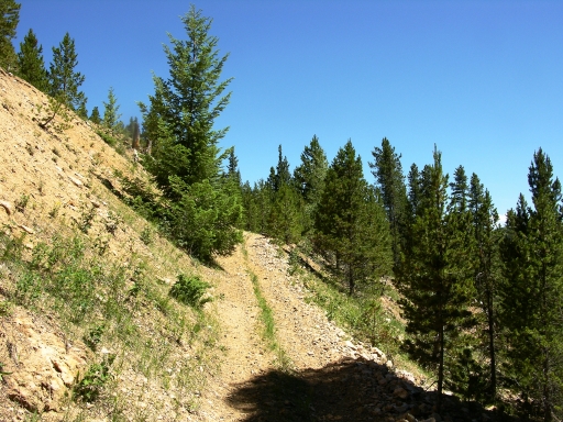
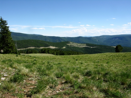
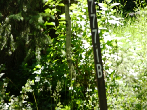
After scratching our heads, we returned to the intersection with forest service road 777.1B and followed this as it seemed to be the only way out other than retracing our entire route. This turned out to be the right trail as it headed generally southwest and downhill. We entered a clearing with a good view to the southeast showing the large scar in the earth left from the mining/reclamation operations. No wonder so many of the trails were closed in that direction.
We soon came to a trail and headed left and downhill. This also proved to be the right direction as this lead us to the Indian Creek drainage and soon out to Marshall Pass trail.