


TrailDamage.com

Photos, videos and information about 4x4 trails in Colorado and Utah

  • Trails
    • Colorado
    • Utah
  • Reports
    • Featured Photos
    • Reports Calendar
  • Members
  • Search
  • FAQ
  • Community
  • Upcoming Events
  • Membership
  • Log In
  • Facebook
  • Instagram
  • RSS
  • Twitter
  • YouTube
  • Trails
    • Colorado
    • Utah
  • Reports
    • Featured Photos
    • Reports Calendar
  • Members
  • Search
  • FAQ
  • Community
  • Upcoming Events
  • Membership
  • Log In

Lily Lake 080706

July 6, 2008 by Monica

Lily Lake

Trail Run on July 6, 2008
Report and photos by Monica I., Trail Leader
View trail information for Lily Lake

Mike S.
Silver 2004 Jeep Wrangler Rubicon
Don W.
Silver 2005 Jeep Wrangler Rubicon
Walt S.
Gray 2022 Jeep Wrangler Unlimited Rubicon 392
Monica I.
Red 2010 Jeep Wrangler Rubicon

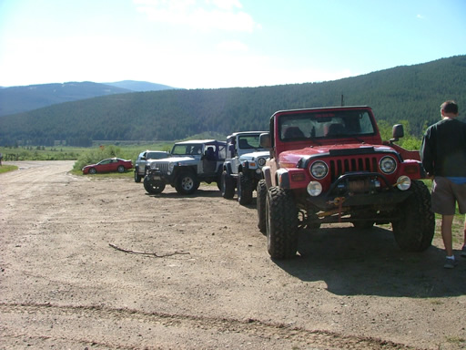
We were going to finish up the network of trails just northwest of Leadville, and we were looking forward to it. We had already seen No Name Gulch and Yoder Gulch at the north end, and now we were going to see Lily Lake, Slide Lake and Wurts Ditch at the south end.

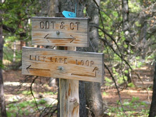
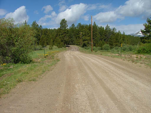
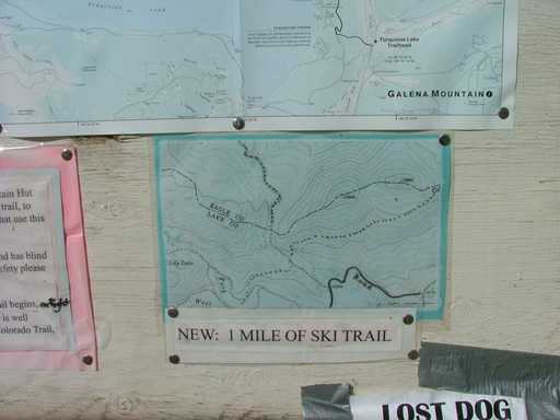
We started with Lily Lake and it was easy. The road to the intersection with Wurts Ditch was wide and smooth. We kept going past it to see the rest of the Lily Lake trail.

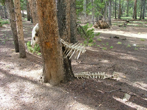
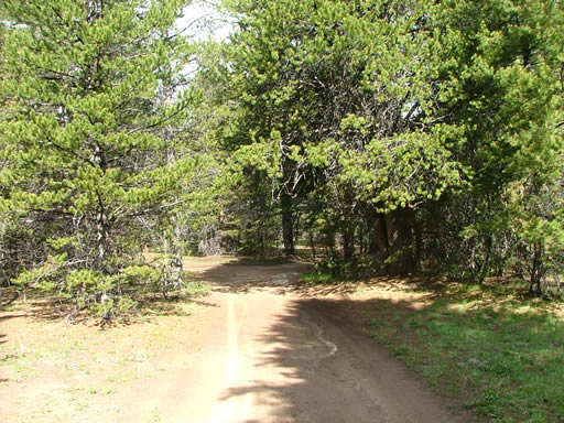
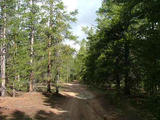
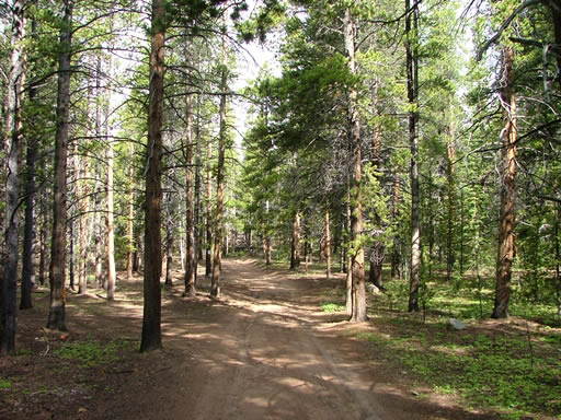
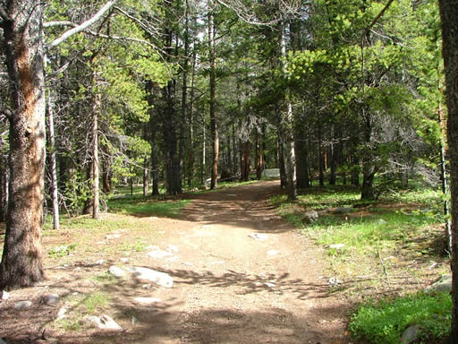
The trail finally turned into the trees and then we were in shade. We saw the skull and spine of some animal (a cow? a goat?) stuck in a "V" formed by two trees, and it was like an omen. The rest of the trail was a little creepy. It was too quiet, and too dark.

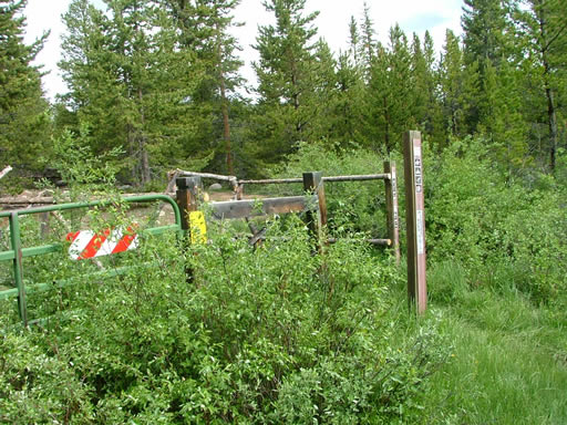
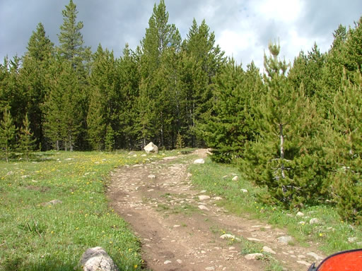
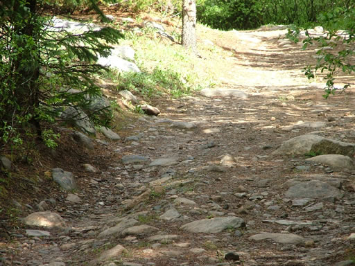
There were a few rocky sections and a muddy section, but otherwise the trail was pretty easy. When we got to Lily Lake, the trail was gated and we couldn't drive any further.

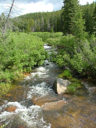
The lake itself looked pretty, but it was marshy and wet all around us so no one got out. We were anxious to see the other trails, so we turned around and headed back out. We turned on the Wurts Ditch trail to continue our day.
airing_down
bumpy
dead_thing_part_1
dead_thing_part_2
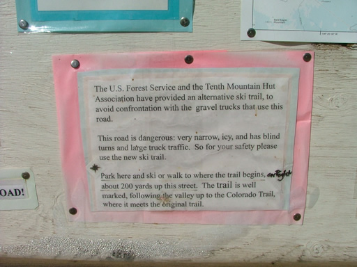
forest_service_sign
gate_at_the_end_part_1
gate_at_the_end_part_2
hiking_sign
into_the_trees
meadow
mud_and_rocks
puddle
shady
start_of_the_trail
sunny_spot
tennessee_creek
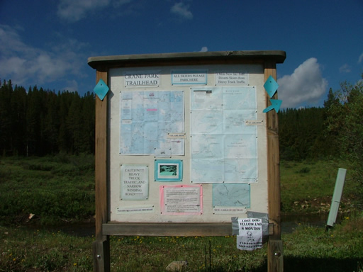
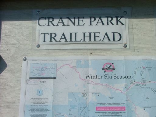
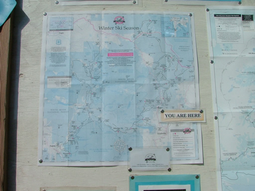
trailhead_sign_part_1
trailhead_sign_part_2
trailhead_sign_part_3
trailhead_sign_part_4
trailhead_sign_part_5
trailhead_sign_part_6
Join Us!
If you aren’t a Member or Subscriber, you can’t see all of the content on this site. Get membership information to see why this site is best when you join and log in

Information for Subscribers

When you log in you’ll see more information here:

  • Recent Community Forum posts
  • Recent polls
  • Upcoming Events you can attend
  • Links to online users

© 2000-2026 · TrailDamage.com · Terms and Conditions · About · Contact
Trail information is only accurate on the date posted. Trails may have changed or closed since that date. Use this information for historical purposes only.
Contact the Forest Service or Bureau of Land Management for up-to-date trail information.