Lenhardy Cutoff

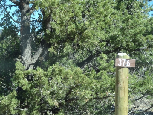
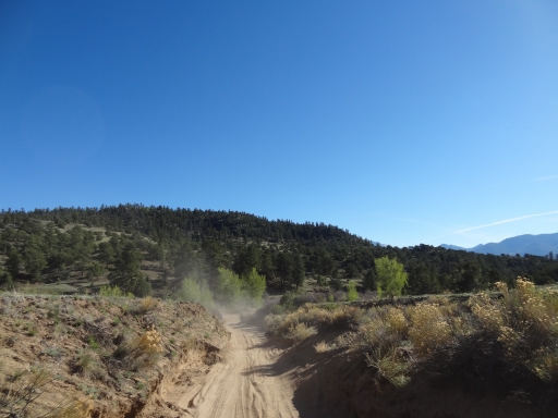
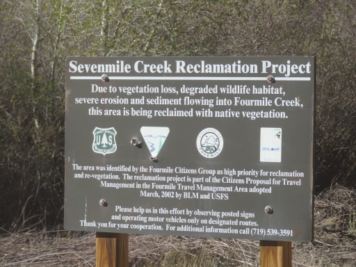
We were exploring the Fourmile Area for the first time outside of Chinaman Gulch and Carnage Canyon, and it had been a very scenic and nice trip so far. We forgot that we had planned to do the Lenhardy Cutoff on our way out, so we were aired up before we had originally intended. We decided to do it anyway, so we headed east from the end of Sevenmile Creek to check out forest service road 376.
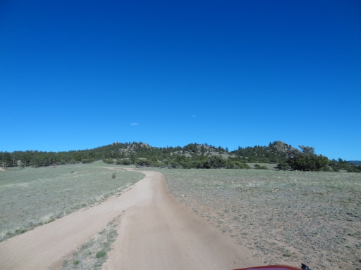
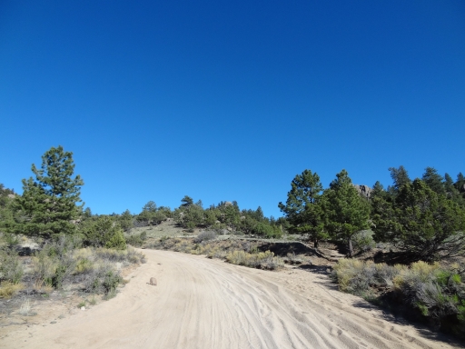
The trail wasn't very well marked at the trailhead, but we found it. It started with twists and turns, and it didn't follow the old USGS maps all the time. We stayed on the main trail and we were good to go. Once the trail moved out of BLM land it became much easier to find.
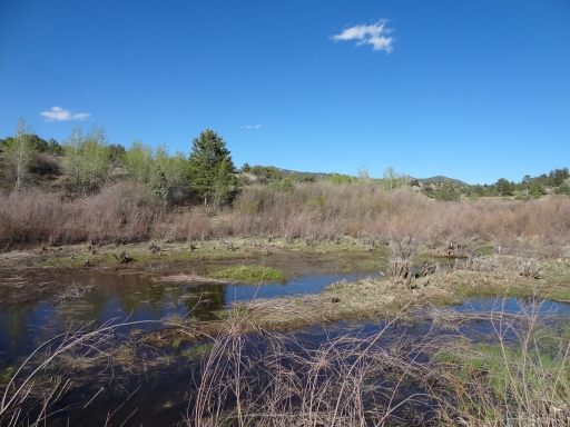
We crossed Sevenmile Creek a couple of times, but the water was never very deep. Still, after some time in the desert of Utah it was nice to see a bit of water.
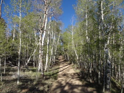
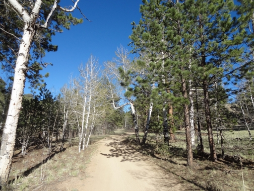
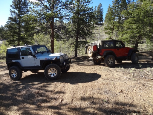
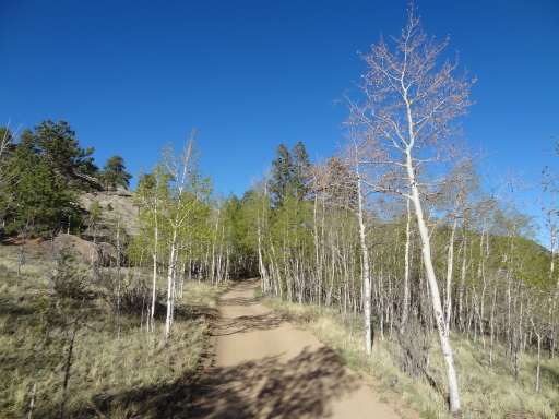
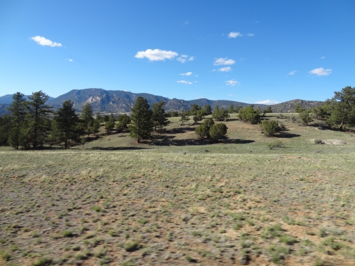
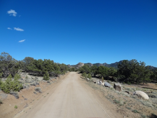
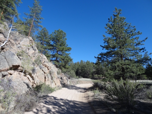
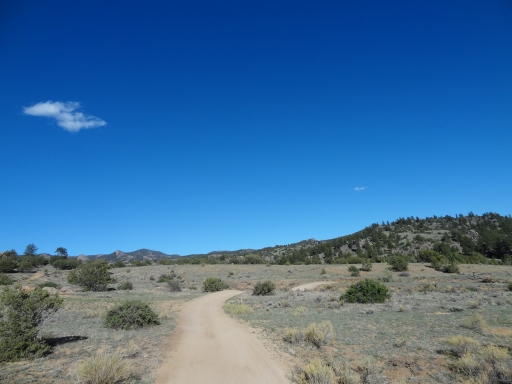
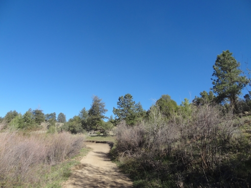
The trail was easy and scenic. It didn't take long to get to the intersection with the Shields-McGee Loop. Matt had parked his truck and trailer at the trailhead for that trail, so he turned on forest service road 315 while Mike and Monica continued along the Lenhardy Cutoff.
We came up to a shirtless guy and two shirtless kids on one ATV who was happy to be out there but slightly lost. We gave him some basic directions and he was definitely interested in watching our Jeeps on the trail. He would get far ahead of us and then we'd come around a corner to find him waiting to watch us. Our first groupies! It was just a dirt road with some twists so it didn't seem exciting enough to watch, but we took what we could get.
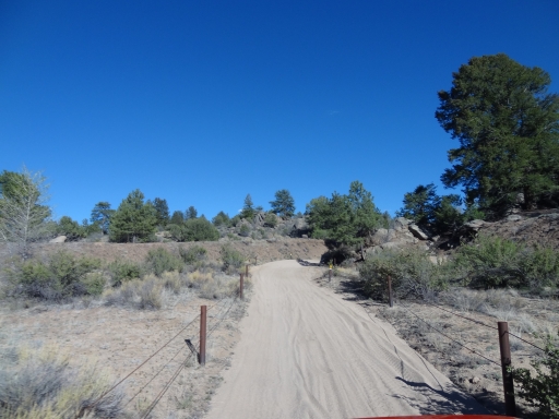
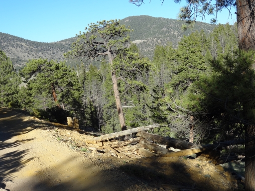
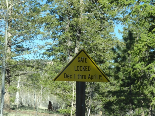
We crossed the intersection with McGee Gulch and then the trail changed when we passed an open seasonal gate. It was definitely no longer maintained, and it felt like it got much less traffic than the other trails we'd been on in the Fourmile Area. There was a shelf road and the remains of a mining operation. It was like a regular Colorado trail that was tacked on to a maintained trail system.
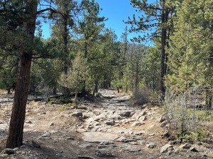
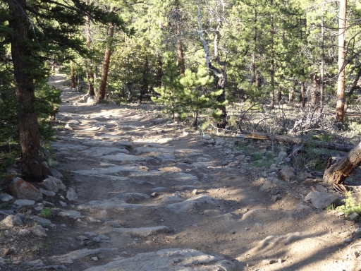
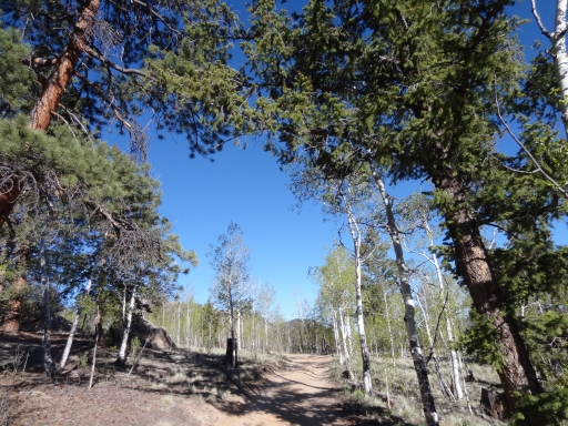
When we got near the Chubbs Park section of the trail it suddenly got bumpy with no maintenance at all. There were actual rocks buried in the trail. It didn't make it a challenging trail at all, but it changed the trail rating. We were aired up, and it was definitely bumpy. It didn't last long, though.
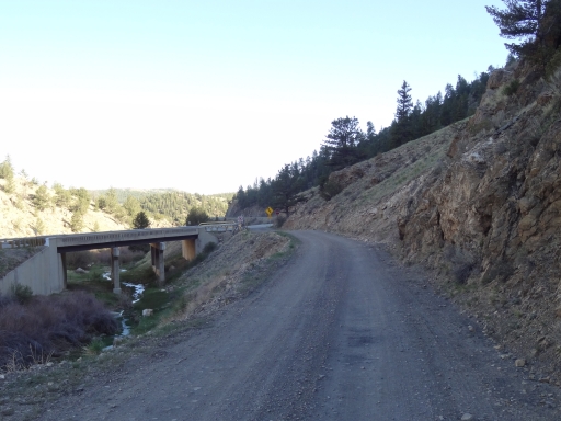
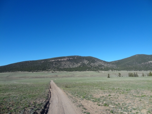
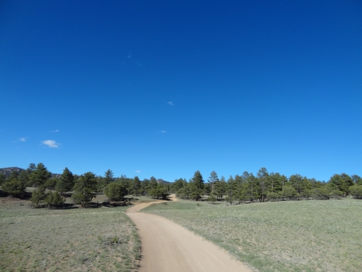
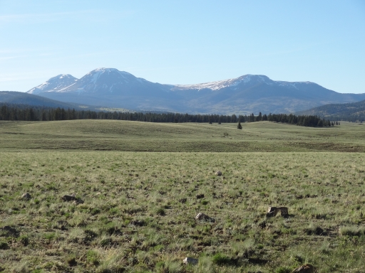
We came out into the meadow of Chubbs Park and soon the trail ended at forest service road 309. We decided to see another entrance to the Fourmile Area so we turned right and followed it out to the highway at a bridge.
We turned left to head back to Denver. It wasn't dark yet, and we stopped in Bailey for dinner. It was a great day of fun times on rocks followed by scenic and relaxing trails. Perfect!








Report from a Different Day