TrailDamage.com

Photos, videos and information about 4x4 trails in Colorado and Utah

  • Trails
    • Colorado
    • Utah
  • Reports
    • Featured Photos
    • Featured Videos
    • Reports Calendar
  • Members
  • Search
  • Trail Damage Winners
  • FAQ
  • Community
  • Upcoming Events
  • Membership
  • Log In
  • Facebook
  • Instagram
  • RSS
  • Twitter
  • YouTube

Kenney Creek Reservoir 170814

August 14, 2017 by Monica

Kenney Creek Reservoir

Trail Run on August 14, 2017
Report and photos by Monica I., Trail Leader
View trail information for Kenney Creek Reservoir

Monica I.
Red 2010 Jeep Wrangler Rubicon
Julie M.
Green 2012 Jeep Wrangler Unlimited Rubicon
Walt S.
Gray 2018 Jeep Wrangler Unlimited Rubicon

We try to prepare for new trails as much as we can, and a lot of that preparation is done by mapping out trails ahead of time.  We put those hand-drawn maps on GPS units and print them to take with us, and they're almost always right.  This time, the track we planned on doing was pretty wrong when we got there.

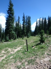
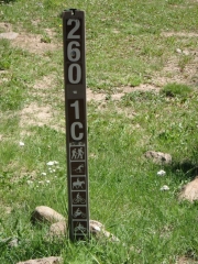
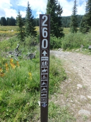
We went by where we thought it would start when we were on Michaelsen Creek, and the trail just wasn't there.  We saw no evidence of it at all.  But we knew the road number, and we saw that road a bit farther down Michaelsen Creek.  We figured the start had been rerouted, so we took the one that actually existed.

We all drove it and watched our GPS units, both handheld units and ones in Jeep dashes.  All of them said we were not on a trail, and all of them showed the trail that didn't exist.  But we kept going.  Eventually, we crossed over the trail we were expecting and didn't see anything of note, just old trails long gone.

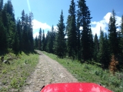
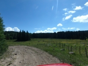
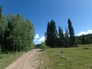
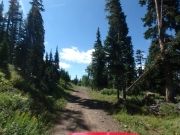
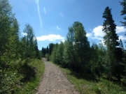
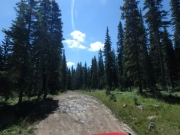
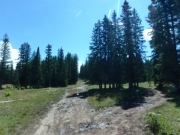
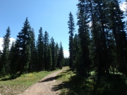
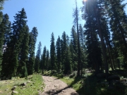
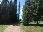
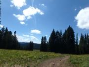
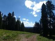
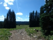
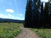
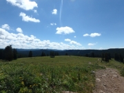
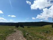
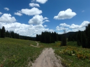
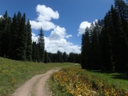
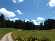
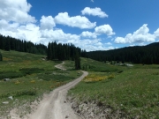
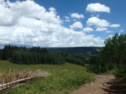
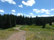
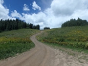
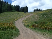
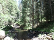
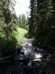
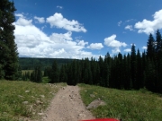
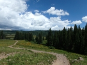
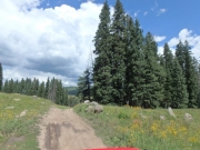
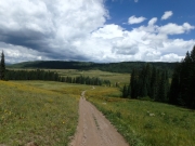
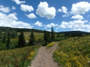
The trail we were on was fun, though, so it didn't matter.  It was bumpy, but not too bad.  Muddy, but not too bad.  And very scenic.  It took a while, but we finally passed the point where our planned track joined up with our real track.  We saw a very old and overgrown road coming in that hadn't been used in a long time.  Very strange, but it all worked out just fine.

We stopped for lunch just past that point, in a place where we could choose sunshine or shade that was out of the wind.  It was a chilly day, but it was the warmest one of our trip.  It was a nice lunch until the mosquitoes came out.  Monica's Jeep was dead, but she jump started it and we were on our way.

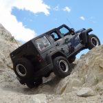
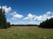
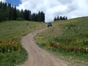
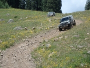
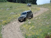
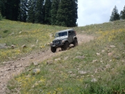
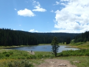
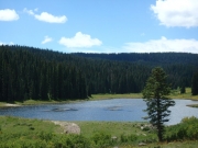
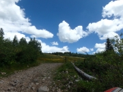
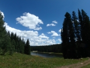
We were almost to the reservoir when we were treated to a rocky climb followed immediately by a rocky descent down the same hill.  Then we popped over another hill to find our reservoir.  We took the short spur to get over to it, and parked.  Julie walked over to it, but the rest of us looked from a little farther away.  It was very pretty, but we'd seen what felt like a hundred reservoirs in a few days and we were getting lazy.

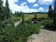
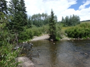
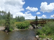
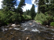
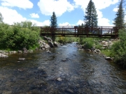
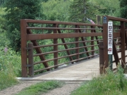
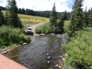
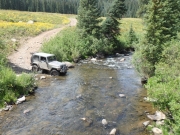
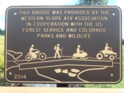
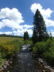
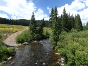
The rest of the trail was fun, with rocky hills to entertain us.  The last descent was fun and long, and when we got to the bottom we found the Leon Creek Bridge.  4x4 vehicles aren't allowed to use it, as we have to cross through the creek instead.  It wasn't deep, but it was clear and pretty as we crossed.  We stopped on the other side to walk over the well-maintained bridge and check things out.  It was a really scenic area.

That was the end of the trail, so we turned right to take Leon Lake back out to the main area of Grand Mesa.  That's when things got really bumpy.

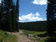
P8140114
P8140115
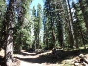
P8140117
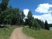
P8140118
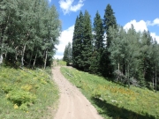
P8140119
P8140120
P8140121
P8140122
P8140124
P8140125
P8140126
P8140127
P8140128
P8140130
P8140131
P8140132
P8140133
P8140134
P8140135
P8140136
P8140137
P8140138
P8140139
P8140140
P8140141
P8140142
P8140143
P8140144
P8140145
P8140146
P8140147
P8140148
P8140149
P8140150
P8140151
P8140152
P8140153
P8140154
P8140155
P8140157
P8140158
P8140159
P8140160
P8140161
P8140162
P8140163
P8140164
P8140165
P8140166
P8140167
P8140168
P8140169
P8140171
P8140172
P8140173
P8140174
P8140175
P8140176
P8140177
P8140179
P8140180
P8140181
P8140182
P8140183
P8140184
P8140185
P8140186
P8140187
P8140189
P8140190
P8140191
P8140192
Join Us!
If you aren’t a Member or Subscriber, you can’t see all of the content on this site. Get membership information to see why this site is best when you join and log in

Information for Subscribers

When you log in you’ll see more information here:

  • Recent Community Forum posts
  • Recent polls
  • Upcoming Events you can attend
  • Links to online users

© 2000-2021 · TrailDamage.com · Terms and Conditions · About · Contact
Trail information is only accurate on the date posted. Trails may have changed or closed since that date. Use this information for historical purposes only.
Contact the Forest Service or Bureau of Land Management for up-to-date trail information.
/* ----------------------------------------- */ /* View slug: reports-other-reports-for-same-trail-slider - start */ /* ----------------------------------------- */ /* place the prev/next controls on the sides */ .td-transition-controls .wpv-filter-next-link, .td-transition-controls .wpv-filter-previous-link { border: none; font-size: 300%; position: absolute; top: 70px; } .td-transition-controls .wpv-filter-previous-link { left: 0; } .td-transition-controls .wpv-filter-next-link { right: 0; } /* center the page selector horizonatally */ .td-transition-controls ul.wpv_pagination_dots { text-align: center; margin-top: 10px; } /* center the page selector horizonatally */ .td-transition-controls ul.wpv_pagination_dots li.wpv_pagination_dots_item, .td-transition-controls .wpv_pagination_dots li a { display: inline-block; float: none; } /* remove the default styles */ .td-transition-controls .wpv_pagination_dots li a { text-decoration: none; border-bottom: none; } .td-slider-container { padding: 0 25px; margin-bottom: 20px; position: relative; width:100%; display:table; } .td-slides { position: relative; } .td-slides-image { float:left; display:table-cell; } .td-slides-image img { border:1px solid #c0c0c0; } .td-slides-content { padding:4px 4px 4px 10px; border-top:1px solid #c0c0c0; border-right:1px solid #c0c0c0; border-bottom:1px solid #c0c0c0; display:table-cell; height:227px; overflow:hidden; } .td-slides-content h3 { margin-top:8px; } .td-slides-leader { font-size:smaller; margin-top:4px; } /* ----------------------------------------- */ /* View slug: reports-other-reports-for-same-trail-slider - end */ /* ----------------------------------------- */
/* ----------------------------------------- */ /* Content Template: Template for a Single Report - start */ /* ----------------------------------------- */ .entry-header { display:none; } .entry-content h1 { margin-top:16px; padding-top:0; } h1 a { color:#222; } h1 a:hover { color:#666; } p.entry-meta { font-size:small; } #report-body-spacer { clear:both; width:100%; height:20px; } #addtoany-bar { margin-bottom:2em; text-align:center; } .category-reports .post-info .author, .post-info .date { display: none; } .addthis_recommended_horizontal { text-align:center !important; } /* ----------------------------------------- */ /* Content Template: Template for a Single Report - end */ /* ----------------------------------------- */ /* ----------------------------------------- */ /* Content Template: Loop item in REPORTS Runners - start */ /* ----------------------------------------- */ #runners-container { width:100%; clear:both; } .runner { border:1px solid #c0c0c0; margin:0 6px 6px 0; float:left; width:49%; height:81px; } .runner-image { float: left; } .runner-image img { margin:2px 10px 0 2px; height:75px; width:75px; } .runner-name { text-transform:uppercase; } .runner-name a { color:#222; } .runner-name a:hover { color:#666; } .runner-vehicle { font-size:small; } @media only screen and (max-width: 768px) { .runner { width:100%; } } /* ----------------------------------------- */ /* Content Template: Loop item in REPORTS Runners - end */ /* ----------------------------------------- */