TrailDamage.com

Photos, videos and information about 4x4 trails in Colorado and Utah

  • Trails
    • Colorado
    • Utah
  • Reports
    • Featured Photos
    • Reports Calendar
  • Members
  • Search
  • FAQ
  • Community
  • Upcoming Events
  • Membership
  • Log In
  • Facebook
  • Instagram
  • RSS
  • Twitter
  • YouTube
  • Trails
    • Colorado
    • Utah
  • Reports
    • Featured Photos
    • Reports Calendar
  • Members
  • Search
  • FAQ
  • Community
  • Upcoming Events
  • Membership
  • Log In

Hurricane Pass 080827

August 27, 2008 by Monica

Hurricane Pass

Trail Run on August 27, 2008
Report and photos by Monica I., Trail Leader
View trail information for Hurricane Pass

Monica I.
Red 2010 Jeep Wrangler Rubicon
Walt S.
Gray 2022 Jeep Wrangler Unlimited Rubicon 392
Michael M.
Black 2006 Jeep Wrangler Unlimited Rubicon
Don W.
Silver 2005 Jeep Wrangler Rubicon

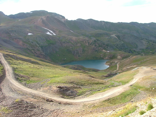
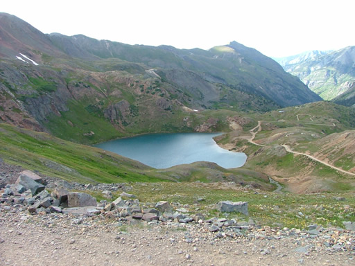
We were only doing part of California Gulch this time, so it wouldn't count just yet. We did half of California Gulch to get to Hurricane Pass, and we were soon heading up. Lake Como was beautiful, as it always is. Too bad the sun was going down.

We stopped soon after starting up to the pass to put on doors and put tops up. Now that the sun was leaving, it was getting chilly.

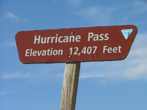
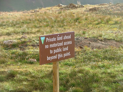
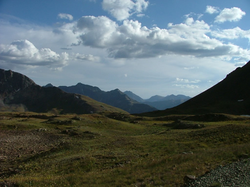
We were soon at the pass, and then heading down the other side. When we got to the spur for the overlook, we headed up. There was a construction crew still working at the intersection with the spur road and the private property road, but they waved us by them. We were good to go.

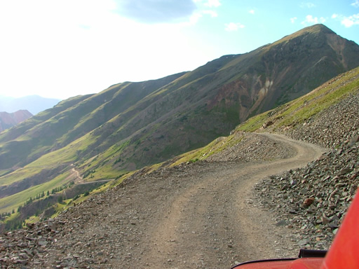
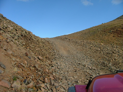
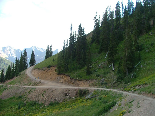
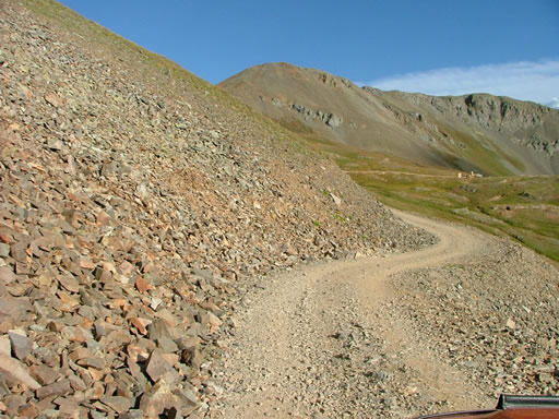
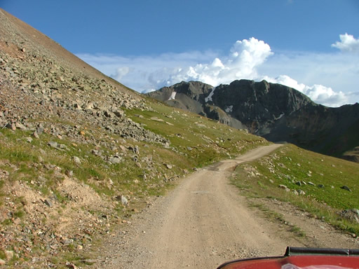
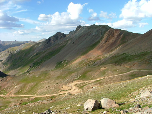
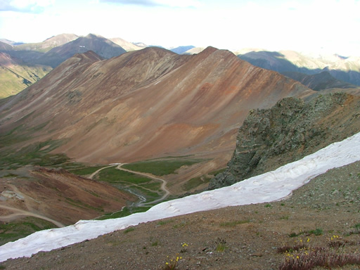
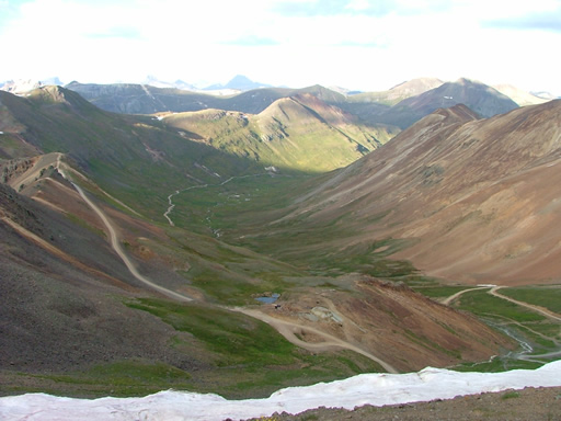
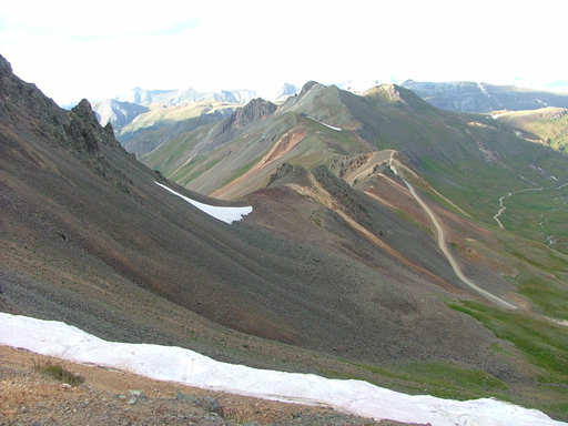
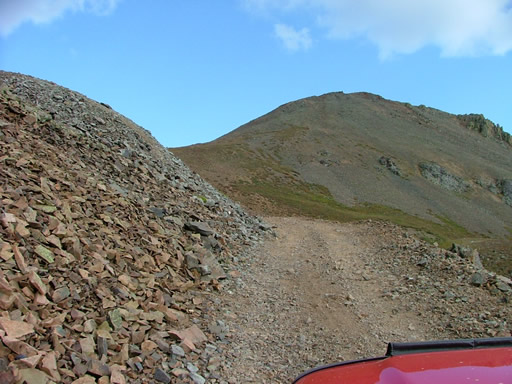
The switchbacks were tight in places and some of the straight sections were surprising. They were often loose and steep, and one section was tippy and bumpy. It was fun just getting up there.

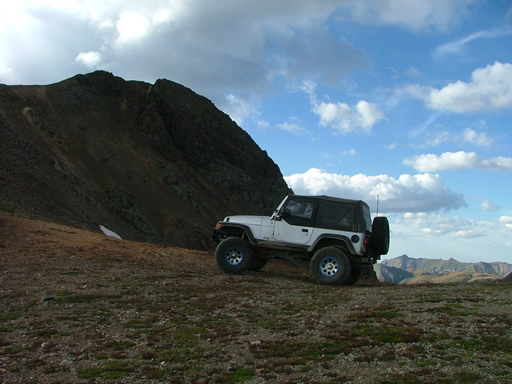
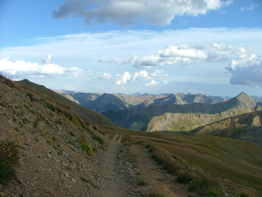
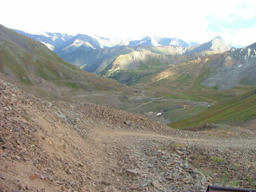
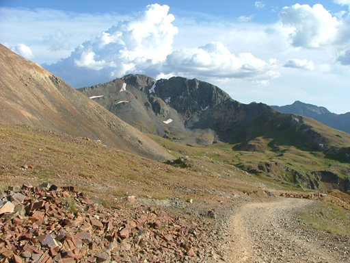
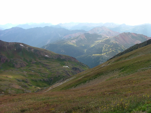
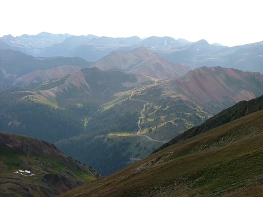
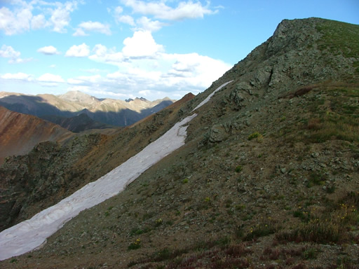
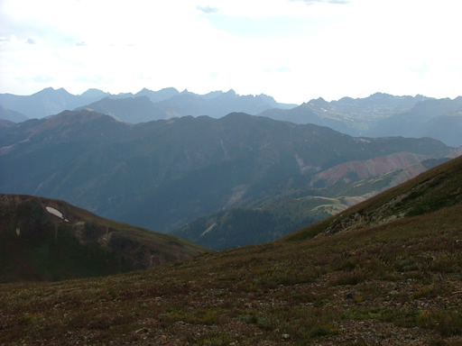
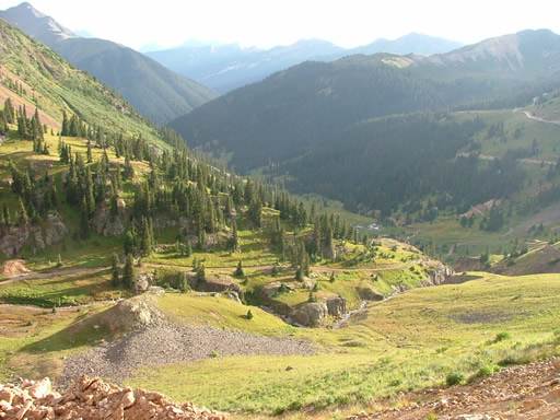
At the overlook, we all got out for a bit. It was windy and really chilly, but the views were worth it. We could see for miles toward the west, and we could see a good portion of the end of the Eureka Gulch trail where we had been earlier in the day. That was pretty cool! We just couldn't get enough of the views. Lake Emma must have been gorgeous from up there.

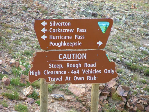
After we were sufficiently frozen, we headed down. That was also fun. The construction trucks left at the same time, getting right in the middle of our group. When that happened, we pulled over to let them in front of us, making it very slow going the rest of the trail. We got lucky and they headed down the county road to Silverton where we turned to do Corkscrew Gulch.

It was a great trail with an amazing overlook, and we were lucky to have seen it. It's a new favorite!
big_view
climbing_to_the_overlook
don_at_the_overlook
down_from_the_overlook_part_1
down_from_the_overlook_part_2
down_from_the_overlook_part_3
down_from_the_overlook_part_4
down_the_other_side
end_of_the_overlook
end_of_the_trail
hurricane_pass_sign
hurricane_peak
lake_como_part_1
lake_como_part_2
lake_como_part_3
mine
monica_at_the_overlook
overlook_curve
private_land_sign
queen_anne_mine
small_pond
snowfield_and_rough_spot
to_the_overlook
trail_below_us
trailhead_sign
view_from_the_overlook_part_1
view_from_the_overlook_part_2
view_from_the_overlook_part_3
view_from_the_overlook_part_4
view_from_the_overlook_part_5
view_from_the_overlook_part_6
view_from_the_overlook_part_7
view_on_the_west_side
walt_on_the_trail

Reports from Other Days: 2

Use the arrows or dots to flip through the previews of the other reports for Hurricane Pass. Click one of them to read more and see all of the photos from that day.
September 20, 2014

Led by Roger R.
We were really on our way to California Gulch, and the only way to get there from Corkscrew Gulch is…
«
  • 1
  • 2
Join Us!
If you aren’t a Member or Subscriber, you can’t see all of the content on this site. Get membership information to see why this site is best when you join and log in

Information for Subscribers

When you log in you’ll see more information here:

  • Recent Community Forum posts
  • Recent polls
  • Upcoming Events you can attend
  • Links to online users

© 2000-2026 · TrailDamage.com · Terms and Conditions · About · Contact
Trail information is only accurate on the date posted. Trails may have changed or closed since that date. Use this information for historical purposes only.
Contact the Forest Service or Bureau of Land Management for up-to-date trail information.