TrailDamage.com

Photos, videos and information about 4x4 trails in Colorado and Utah

  • Trails
    • Colorado
    • Utah
  • Reports
    • Featured Photos
    • Featured Videos
    • Reports Calendar
  • Members
  • Search
  • Trail Damage Winners
  • FAQ
  • Community
  • Upcoming Events
  • Membership
  • Log In
  • Facebook
  • Instagram
  • RSS
  • Twitter
  • YouTube

Hotel Mesa 081031

October 31, 2008 by Monica

Hotel Mesa

Trail Run on October 31, 2008
Report and photos by Monica I., Trail Leader
View trail information for Hotel Mesa

Roger R.
White 2005 Jeep Wrangler Unlimited Rubicon
Mike S.
Silver 2004 Jeep Wrangler Rubicon
Monica I.
Red 2010 Jeep Wrangler Rubicon
Jeffrey M.
Khaki 2006 Jeep Wrangler Unlimited Rubicon
Michael M.
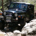
Black 2006 Jeep Wrangler Unlimited Rubicon

We had just done the first river crossing on the Dolores River trail and we were all set to really explore the Dolores Triangle. We were ready to put on a lot of miles and see a lot of scenery, but otherwise we didn't know what to expect.

We did the tail end of the Buckhorn Mesa trail in order to get up to Hotel Mesa. We did the overlook section of the trail first. We only saw one other person the whole day, a guy on his bicycle, and we saw him here.

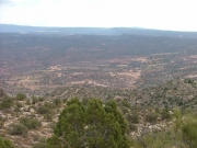
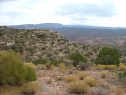
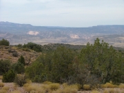
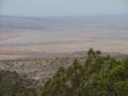
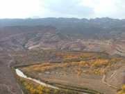
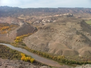
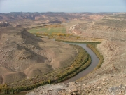
The overlook wasn't well-traveled but it was pretty easy to find. And it was definitely worth the short trip! The view of the intersection of the Colorado River and the Dolores River was breathtaking, and we stayed there for quite awhile. We broke out the maps, trying to figure out what we were seeing. You could see many trails, and you could see for many miles. It was definitely a sight to see.

After the overlook, we went back to the Buckhorn Mesa trail. We were on that easy, graded road for just a bit but then we veered off of the trail when the Hotel Mesa trail left it. From then on, it was very remote.

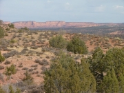
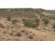
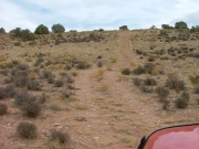
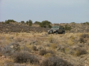
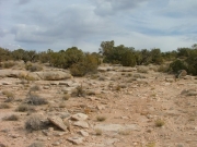
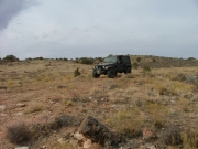
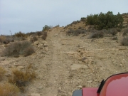
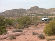
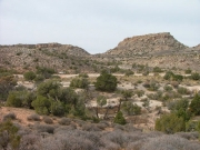
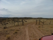
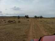
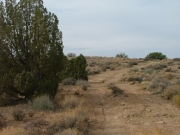
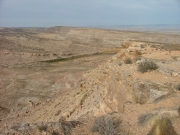
Trail finding wasn't too difficult, though we did find some spurs along the way that would have made things confusing without the GPS. We were out in the desert for awhile, with no trees or anything taller than a bush for awhile. It felt very isolated, and it was pretty cool.

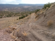
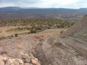
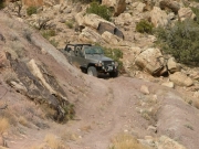
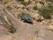
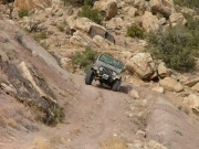
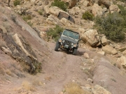
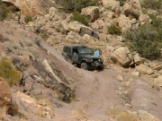
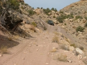
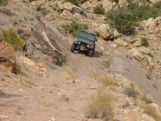
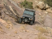
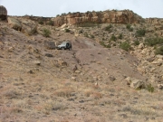
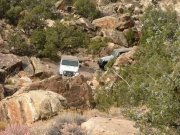
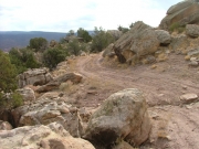
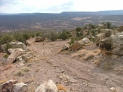
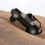
The hill climbs and descents were also a lot of fun. It got especially interesting when we were coming down off of the mesa near the true trailhead. We got out to take a look first, unsure if we should proceed. The trail was fairly eroded and tippy in spots, but we decided it was fine. Once we were actually in it, it wasn't bad at all. Still, it would be slick and dangerous if it was wet.

After coming down off of the mesa, it was a pretty mellow trail. It traveled through the sand and soft dirt all the way to the trailhead.

We had done DS Road a few days earlier, and we took it yet again for a short time to get to Scharf Mesa East. Of course, we though that trail went all the way through when we started it.

Hotel Mesa was definitely a different experience, and one we'd like to do again.
big_view
careful
colorful
curvy_trail
fun_descent
hill
jeffrey_around_a_bend_part_1
jeffrey_around_a_bend_part_2
jeffrey_around_a_bend_part_3
jeffrey_around_a_bend_part_4
jeffrey_on_the_trail
little-used_trail
mesa_edge
michael_around_a_bend_part_1
michael_around_a_bend_part_2
michael_around_a_bend_part_3
michael_around_a_bend_part_4
michael_on_the_trail
mike_on_the_trail
rocky_climb
roger_and_mike
roger_on_the_trail
saddle_we_just_went_through
see_for_miles
tippy
to_the_overlook_part_1
to_the_overlook_part_2
to_the_overlook_part_3
valley
view_from_the_overlook_part_1
view_from_the_overlook_part_2
view_from_the_overlook_part_3
view_from_the_overlook_part_4
washed_out
Join Us!
If you aren’t a Member or Subscriber, you can’t see all of the content on this site. Get membership information to see why this site is best when you join and log in

Information for Subscribers

When you log in you’ll see more information here:

  • Recent Community Forum posts
  • Recent polls
  • Upcoming Events you can attend
  • Links to online users

© 2000-2021 · TrailDamage.com · Terms and Conditions · About · Contact
Trail information is only accurate on the date posted. Trails may have changed or closed since that date. Use this information for historical purposes only.
Contact the Forest Service or Bureau of Land Management for up-to-date trail information.
/* ----------------------------------------- */ /* View slug: reports-other-reports-for-same-trail-slider - start */ /* ----------------------------------------- */ /* place the prev/next controls on the sides */ .td-transition-controls .wpv-filter-next-link, .td-transition-controls .wpv-filter-previous-link { border: none; font-size: 300%; position: absolute; top: 70px; } .td-transition-controls .wpv-filter-previous-link { left: 0; } .td-transition-controls .wpv-filter-next-link { right: 0; } /* center the page selector horizonatally */ .td-transition-controls ul.wpv_pagination_dots { text-align: center; margin-top: 10px; } /* center the page selector horizonatally */ .td-transition-controls ul.wpv_pagination_dots li.wpv_pagination_dots_item, .td-transition-controls .wpv_pagination_dots li a { display: inline-block; float: none; } /* remove the default styles */ .td-transition-controls .wpv_pagination_dots li a { text-decoration: none; border-bottom: none; } .td-slider-container { padding: 0 25px; margin-bottom: 20px; position: relative; width:100%; display:table; } .td-slides { position: relative; } .td-slides-image { float:left; display:table-cell; } .td-slides-image img { border:1px solid #c0c0c0; } .td-slides-content { padding:4px 4px 4px 10px; border-top:1px solid #c0c0c0; border-right:1px solid #c0c0c0; border-bottom:1px solid #c0c0c0; display:table-cell; height:227px; overflow:hidden; } .td-slides-content h3 { margin-top:8px; } .td-slides-leader { font-size:smaller; margin-top:4px; } /* ----------------------------------------- */ /* View slug: reports-other-reports-for-same-trail-slider - end */ /* ----------------------------------------- */
/* ----------------------------------------- */ /* Content Template: Template for a Single Report - start */ /* ----------------------------------------- */ .entry-header { display:none; } .entry-content h1 { margin-top:16px; padding-top:0; } h1 a { color:#222; } h1 a:hover { color:#666; } p.entry-meta { font-size:small; } #report-body-spacer { clear:both; width:100%; height:20px; } #addtoany-bar { margin-bottom:2em; text-align:center; } .category-reports .post-info .author, .post-info .date { display: none; } .addthis_recommended_horizontal { text-align:center !important; } /* ----------------------------------------- */ /* Content Template: Template for a Single Report - end */ /* ----------------------------------------- */ /* ----------------------------------------- */ /* Content Template: Loop item in REPORTS Runners - start */ /* ----------------------------------------- */ #runners-container { width:100%; clear:both; } .runner { border:1px solid #c0c0c0; margin:0 6px 6px 0; float:left; width:49%; height:81px; } .runner-image { float: left; } .runner-image img { margin:2px 10px 0 2px; height:75px; width:75px; } .runner-name { text-transform:uppercase; } .runner-name a { color:#222; } .runner-name a:hover { color:#666; } .runner-vehicle { font-size:small; } @media only screen and (max-width: 768px) { .runner { width:100%; } } /* ----------------------------------------- */ /* Content Template: Loop item in REPORTS Runners - end */ /* ----------------------------------------- */