TrailDamage.com

Photos, videos and information about 4x4 trails in Colorado and Utah

  • Trails
    • Colorado
    • Utah
  • Reports
    • Featured Photos
    • Featured Videos
    • Reports Calendar
  • Members
  • Search
  • Trail Damage Winners
  • FAQ
  • Community
  • Upcoming Events
  • Membership
  • Log In
  • Facebook
  • Instagram
  • RSS
  • Twitter
  • YouTube

Geyser Pass 130902

September 2, 2013 by Monica

Geyser Pass

Trail Run on September 2, 2013
Report and photos by Monica I., Trail Leader
View trail information for Geyser Pass

Monica I.
Red 2010 Jeep Wrangler Rubicon
Julie M.
Green 2012 Jeep Wrangler Unlimited Rubicon

The group had been fairly large when started our trip on White Rim, and the numbers slowly dwindled as time went on. By the time we hit Geyser Pass the group was down to only two of us. We were looking forward to the trip back through the La Sal Mountains and how it would compare to La Sal Pass.

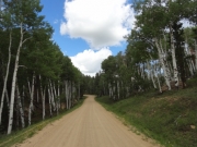
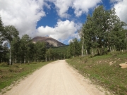
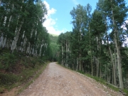
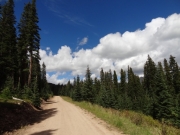
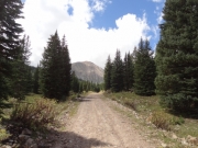
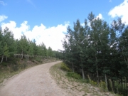
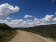
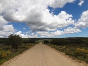
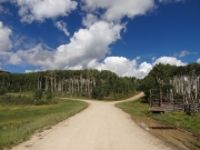
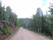
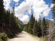
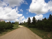
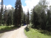
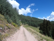
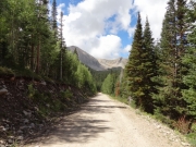
Geyser Pass is much, much easier. It is well maintained, and naturally much busier. On the way up, we passed through many curves and large switchbacks.

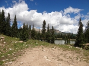
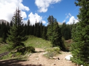
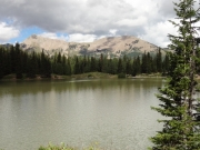
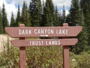
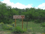
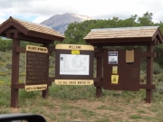
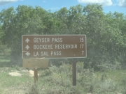
We looked forward to checking out Dark Canyon Lake, simply because of the name. We saw a sign to the lake so we followed the little-used track to a circle around a fire ring. The views were high above the lake and the site was muddy so we continued on, hoping for a better view. The next road took us to a gate and private property, so the muddy site over the lake was as close as we'd get. Oh well. It looked like Blue Lake was more accessible but we decided to save that spur for another time.

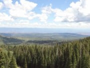
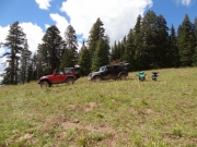
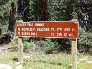
At the pass we decided to head up the spur that took us higher in elevation. We were so glad we took it. It was a short spur up a steep and eroded climb, so it added a bit of challenge to the day. In addition, it offered fantastic views. You could see the valleys on either side of the mountain range all while sitting in the same place. We decided to break there for lunch, and the sun came out. It was a really nice spot.

We soon headed down the other side, briefly leaving the trail to do Gold Basin. It probably wasn't worth the trip, but it didn't take long.

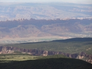
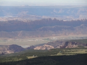
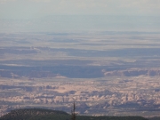
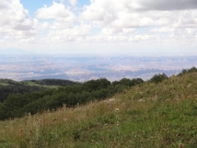
When we came to the first switchback on the way down we pulled over to pick our jaws up off the floor. The view was insanely beautiful. We took many pictures and stood outside for quite a while admiring the view. We could see Moab and lots of the area around it, and it was hard to take it all in. Even if we didn't do all of Geyser Pass it would be worth it to come up to that spot to take in the views. We'd definitely recommend it to first-timers so they can see the whole area.

When we got to the pavement at the end we used the parking area to air up our tires. We talked about heading back to town, but then decided to take Sand Flats Road on the way out. It was another good choice. This was a really good loop through the mountains.

aspens_part_1
aspens_part_2
aspens_part_3
big_view
blue_sky
bumpy
clouds
curve
dark_canyon_lake_part_1
dark_canyon_lake_part_2
dark_canyon_lake_part_3
dark_canyon_lake_sign
easy_descent
easy_road
flowers
follow_signs
fork
greens
happy_trees
into_the_sun
into_the_trees
kiosk
less_maintenance
lunch_at_the_top
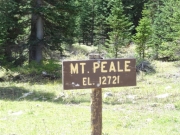
mount_peale_sign
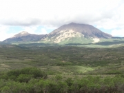
mount_peale
near_the_peaks
options
overlook_part_1
overlook_part_2
overlook_part_3
overlook_part_4
overlook_part_5
overlook_part_6
overlook_part_7
overlook_part_8
private_property_gate
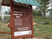
south_la_sal_block
spurs
summit_kiosk
summit_sign
summit_view_part_1
summit_view_part_2
summit_view_part_3
summit_view_part_4
summit_view_part_5
summit_view_part_6
summit_view_part_7
trail_sign
view_on_the_way_down
Join Us!
If you aren’t a Member or Subscriber, you can’t see all of the content on this site. Get membership information to see why this site is best when you join and log in
Information for Subscribers

When you log in you’ll see more information here:

  • Recent Community Forum posts
  • Recent polls
  • Upcoming Events you can attend
  • Links to online users

© 2000-2021 · TrailDamage.com · Terms and Conditions · About · Contact
Trail information is only accurate on the date posted. Trails may have changed or closed since that date. Use this information for historical purposes only.
Contact the Forest Service or Bureau of Land Management for up-to-date trail information.

/* ----------------------------------------- */ /* View slug: reports-other-reports-for-same-trail-slider - start */ /* ----------------------------------------- */ /* place the prev/next controls on the sides */ .td-transition-controls .wpv-filter-next-link, .td-transition-controls .wpv-filter-previous-link { border: none; font-size: 300%; position: absolute; top: 70px; } .td-transition-controls .wpv-filter-previous-link { left: 0; } .td-transition-controls .wpv-filter-next-link { right: 0; } /* center the page selector horizonatally */ .td-transition-controls ul.wpv_pagination_dots { text-align: center; margin-top: 10px; } /* center the page selector horizonatally */ .td-transition-controls ul.wpv_pagination_dots li.wpv_pagination_dots_item, .td-transition-controls .wpv_pagination_dots li a { display: inline-block; float: none; } /* remove the default styles */ .td-transition-controls .wpv_pagination_dots li a { text-decoration: none; border-bottom: none; } .td-slider-container { padding: 0 25px; margin-bottom: 20px; position: relative; width:100%; display:table; } .td-slides { position: relative; } .td-slides-image { float:left; display:table-cell; } .td-slides-image img { border:1px solid #c0c0c0; } .td-slides-content { padding:4px 4px 4px 10px; border-top:1px solid #c0c0c0; border-right:1px solid #c0c0c0; border-bottom:1px solid #c0c0c0; display:table-cell; height:227px; overflow:hidden; } .td-slides-content h3 { margin-top:8px; } .td-slides-leader { font-size:smaller; margin-top:4px; } /* ----------------------------------------- */ /* View slug: reports-other-reports-for-same-trail-slider - end */ /* ----------------------------------------- */
/* ----------------------------------------- */ /* Content Template: Template for a Single Report - start */ /* ----------------------------------------- */ .entry-header { display:none; } .entry-content h1 { margin-top:16px; padding-top:0; } h1 a { color:#222; } h1 a:hover { color:#666; } p.entry-meta { font-size:small; } #report-body-spacer { clear:both; width:100%; height:20px; } #addtoany-bar { margin-bottom:2em; text-align:center; } .category-reports .post-info .author, .post-info .date { display: none; } .addthis_recommended_horizontal { text-align:center !important; } /* ----------------------------------------- */ /* Content Template: Template for a Single Report - end */ /* ----------------------------------------- */ /* ----------------------------------------- */ /* Content Template: Loop item in REPORTS Runners - start */ /* ----------------------------------------- */ #runners-container { width:100%; clear:both; } .runner { border:1px solid #c0c0c0; margin:0 6px 6px 0; float:left; width:49%; height:81px; } .runner-image { float: left; } .runner-image img { margin:2px 10px 0 2px; height:75px; width:75px; } .runner-name { text-transform:uppercase; } .runner-name a { color:#222; } .runner-name a:hover { color:#666; } .runner-vehicle { font-size:small; } @media only screen and (max-width: 768px) { .runner { width:100%; } } /* ----------------------------------------- */ /* Content Template: Loop item in REPORTS Runners - end */ /* ----------------------------------------- */