TrailDamage.com

Photos, videos and information about 4x4 trails in Colorado and Utah

  • Trails
    • Colorado
    • Utah
  • Reports
    • Featured Photos
    • Reports Calendar
  • Members
  • Search
  • FAQ
  • Community
  • Upcoming Events
  • Membership
  • Log In
  • Facebook
  • Instagram
  • RSS
  • Twitter
  • YouTube
  • Trails
    • Colorado
    • Utah
  • Reports
    • Featured Photos
    • Reports Calendar
  • Members
  • Search
  • FAQ
  • Community
  • Upcoming Events
  • Membership
  • Log In

Fall River Road 220819

August 19, 2022 by Monica

Fall River Road

Trail Run on August 19, 2022
Report and photos by Monica I., Trail Leader
View trail information for Fall River Road

Monica I.
Red 2010 Jeep Wrangler Rubicon

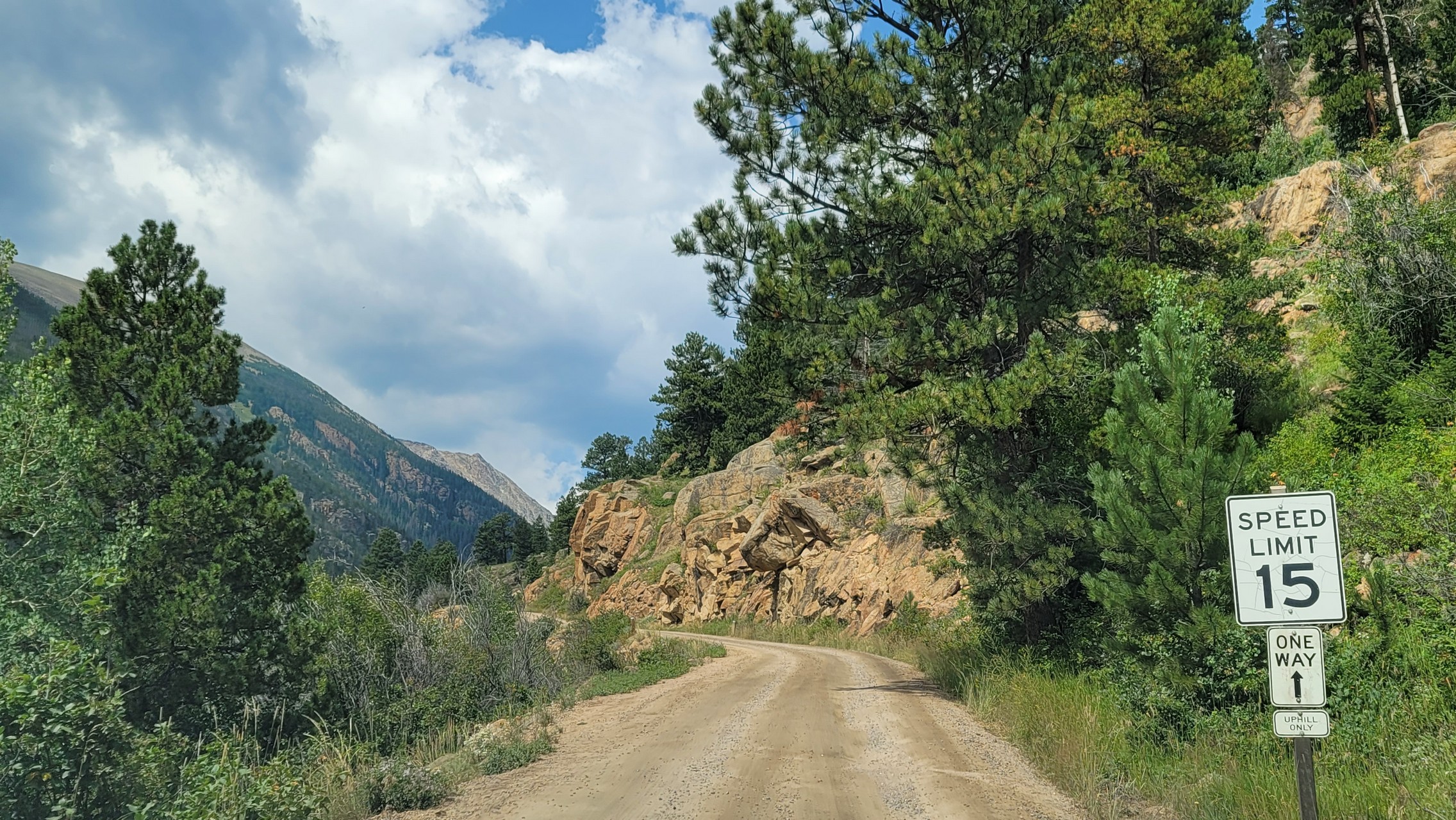
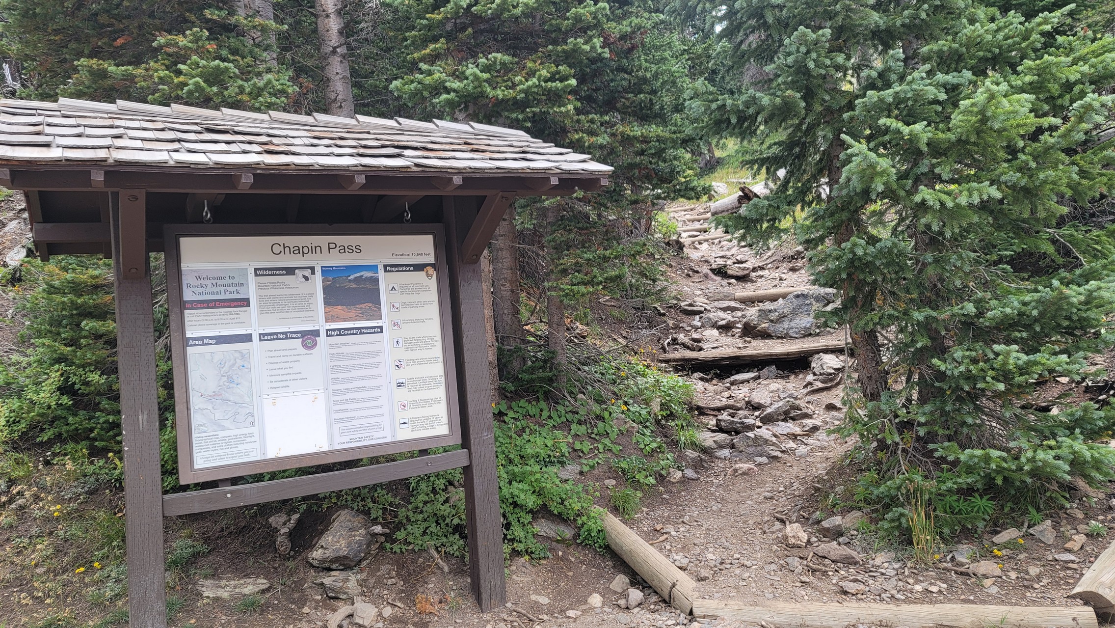
Monica was touring Rocky Mountain National Park (RMNP) in Colorado in the daily driver, and running up Fall River Road (also known as "Old" Fall River Road) was a spur-of-the-moment decision. She strapped the GoPro on the roof and headed up. It's a long, 360-degree video of the entire trip from the bottom of the road to the top.

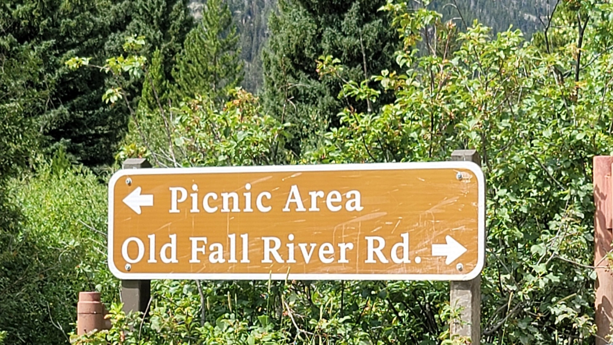
The first part of the road is actually paved and allows two-way traffic, and it goes all the way to the Endovalley Picnic Area. We had lunch there with the mosquitoes before leaving and starting the dirt road all the way to the top. From that point on, it was a one-way road. It was nice to not have to watch for oncoming traffic.

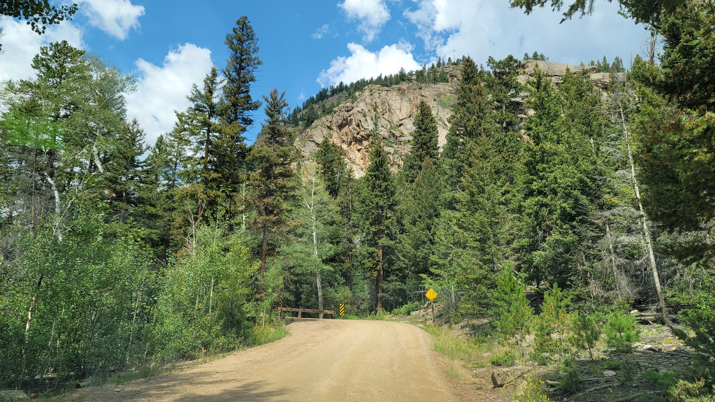
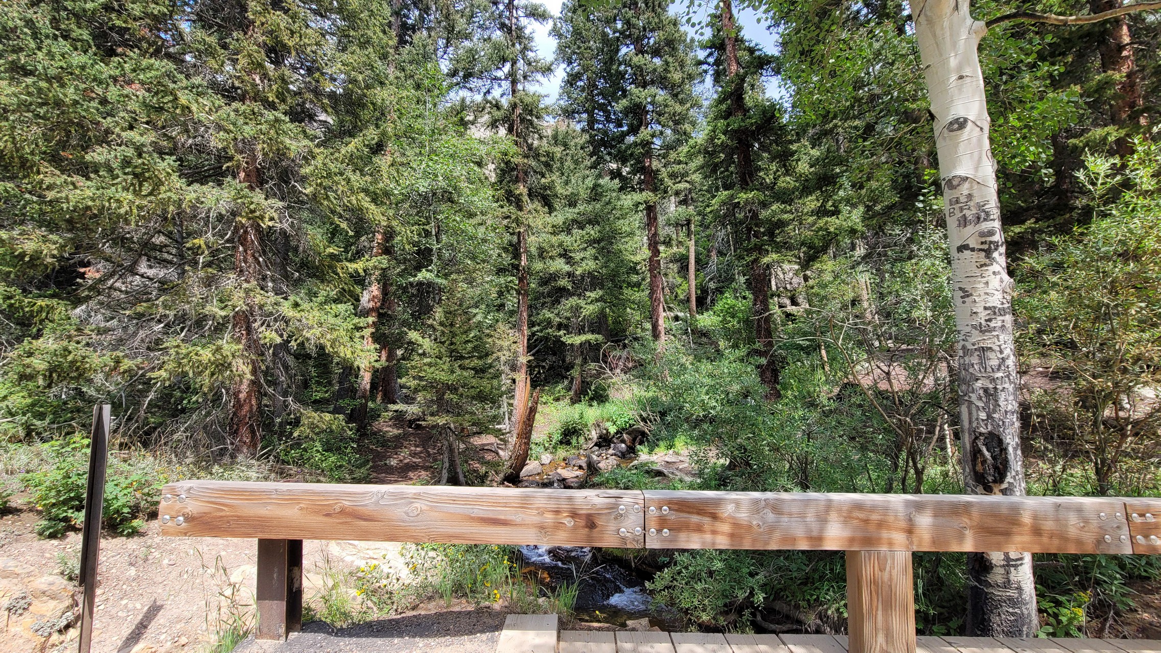
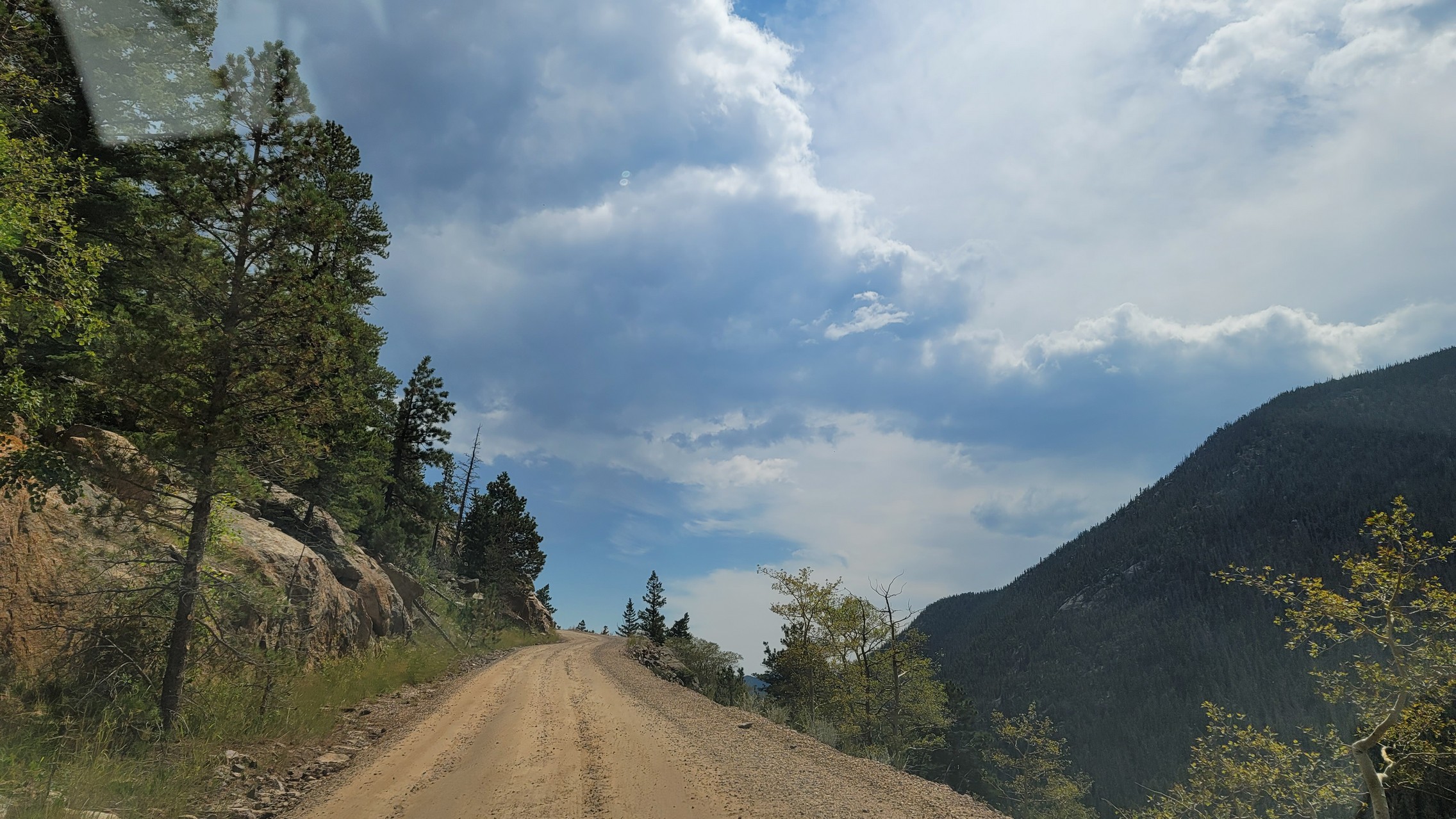
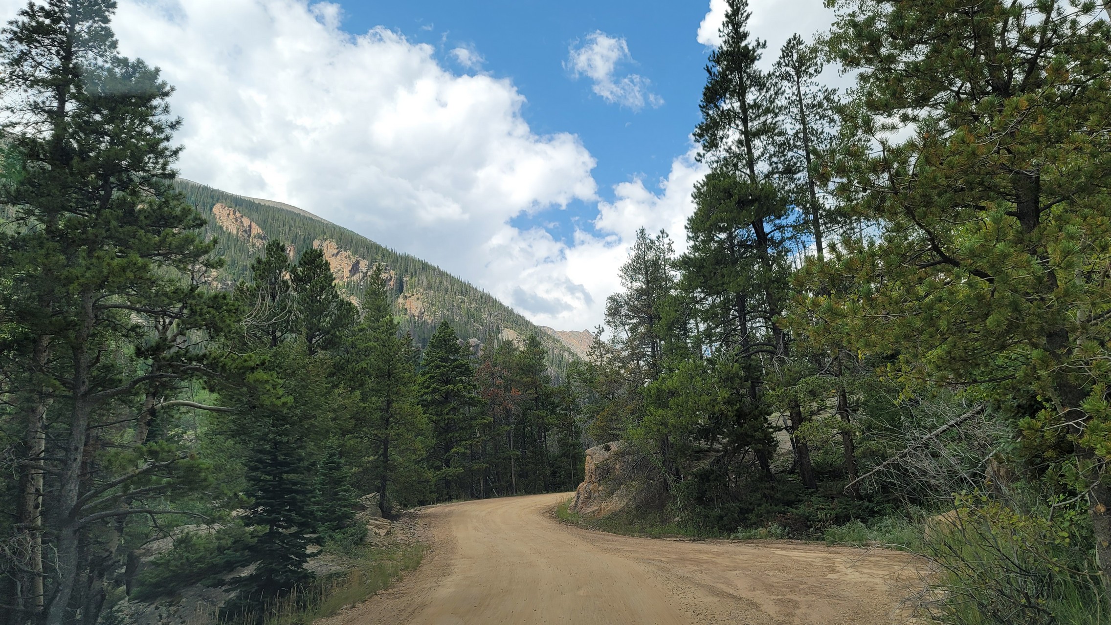
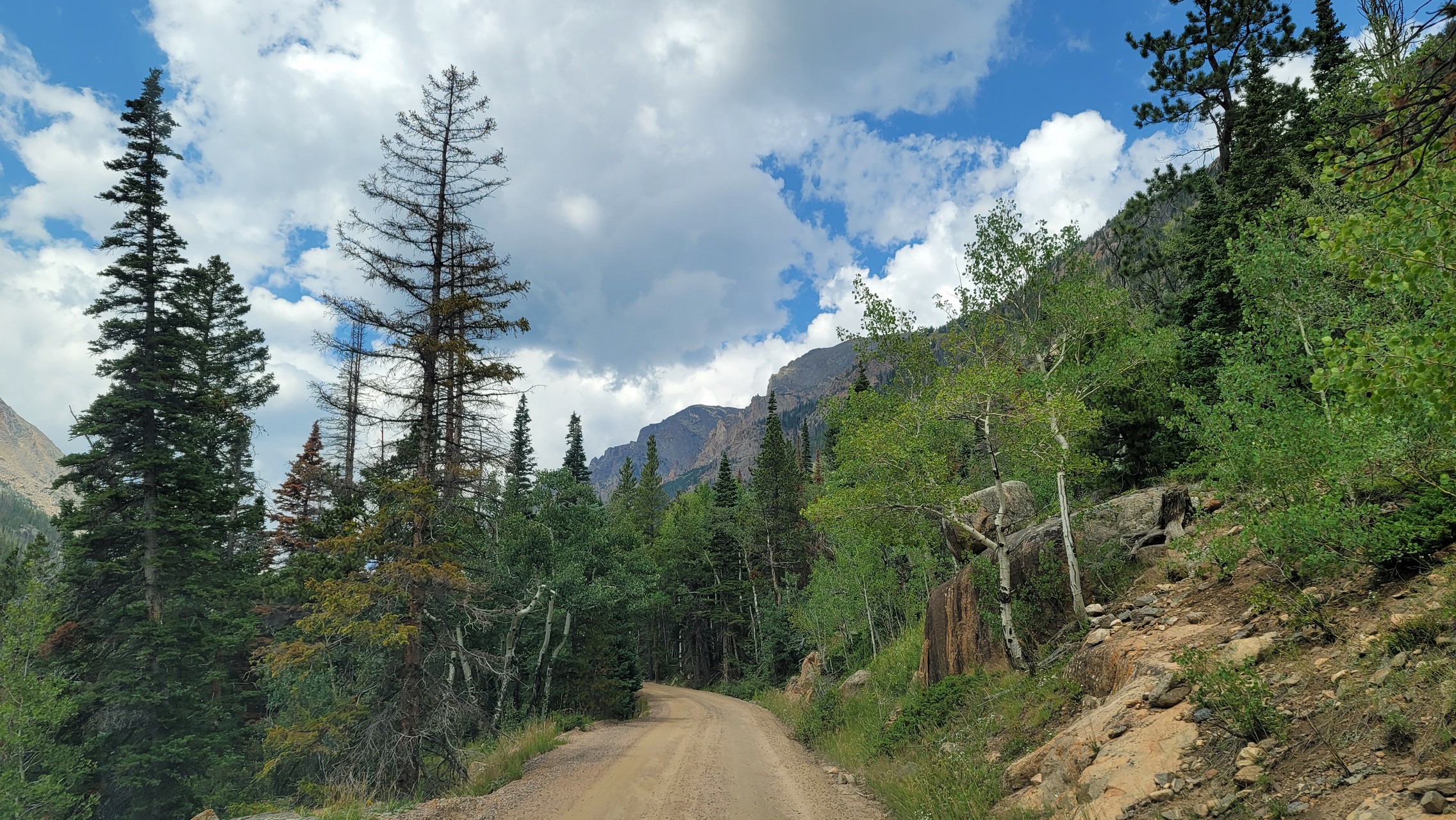
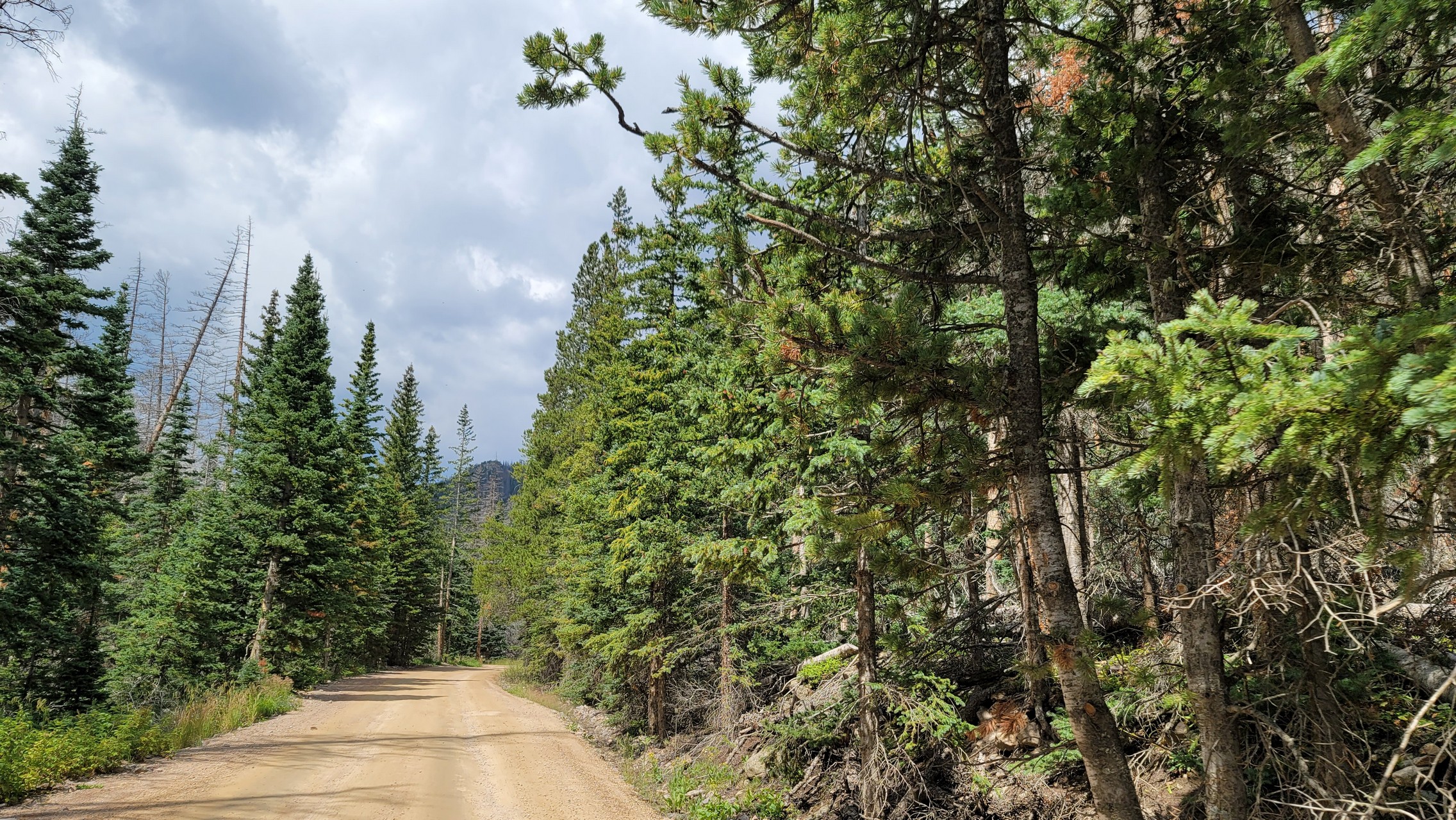
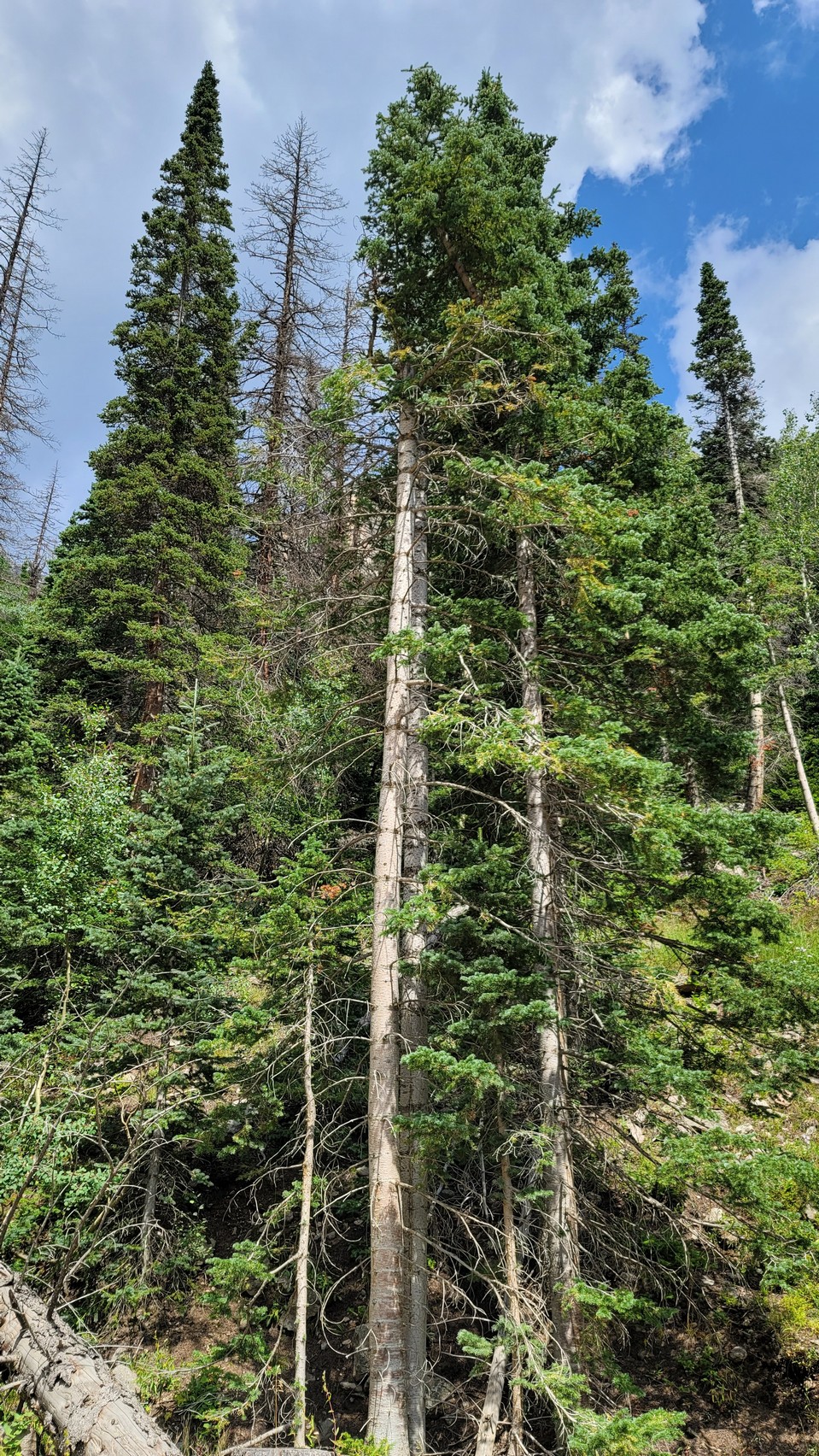
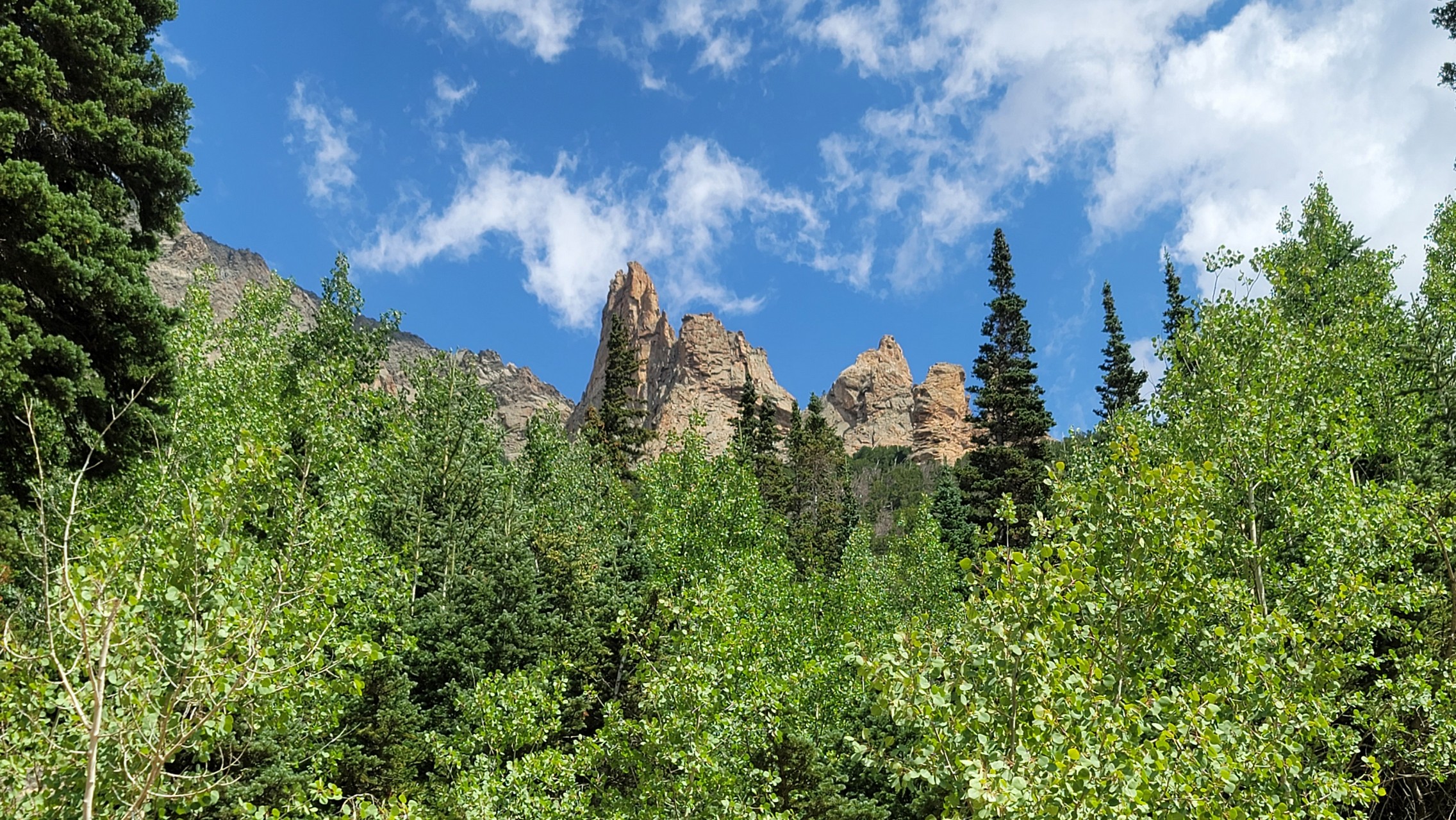
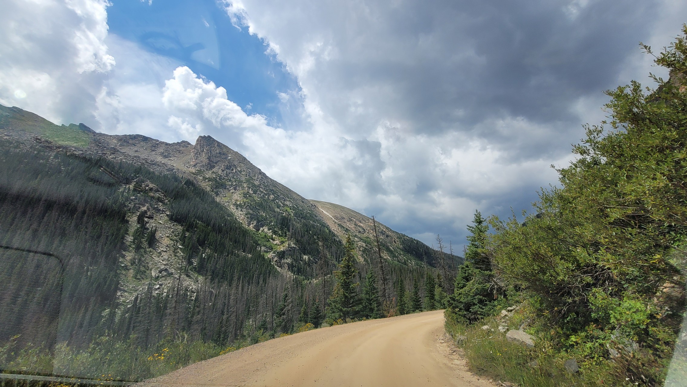
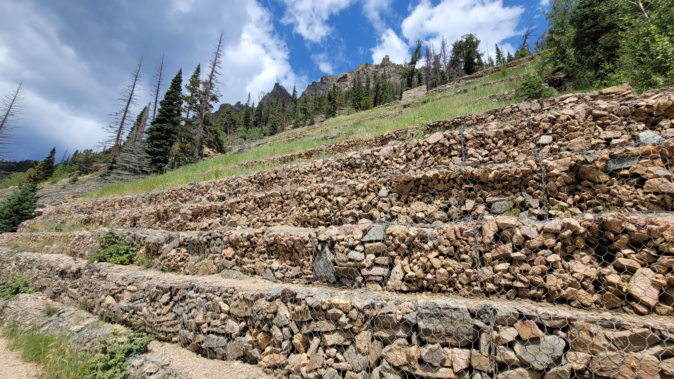
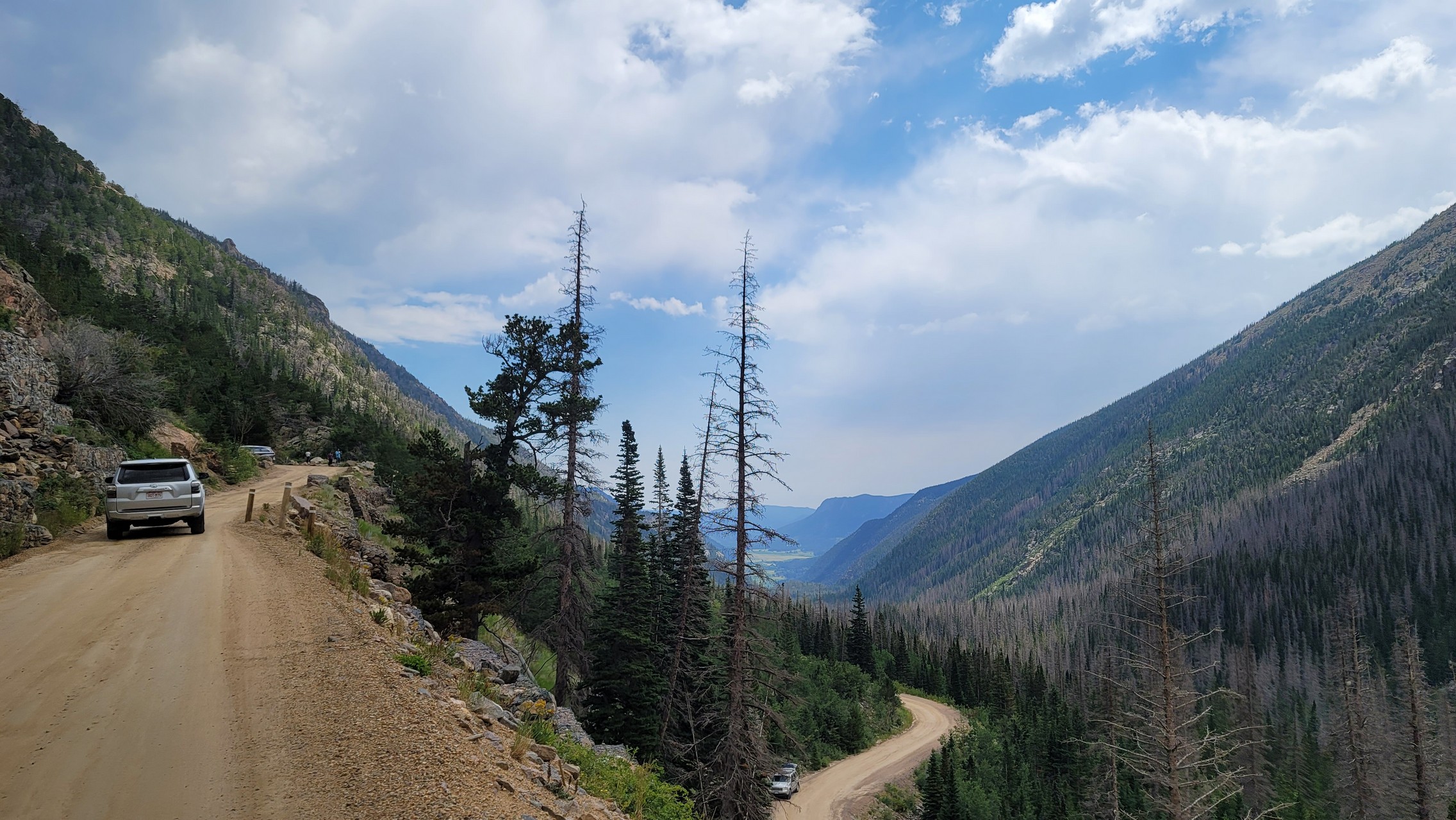
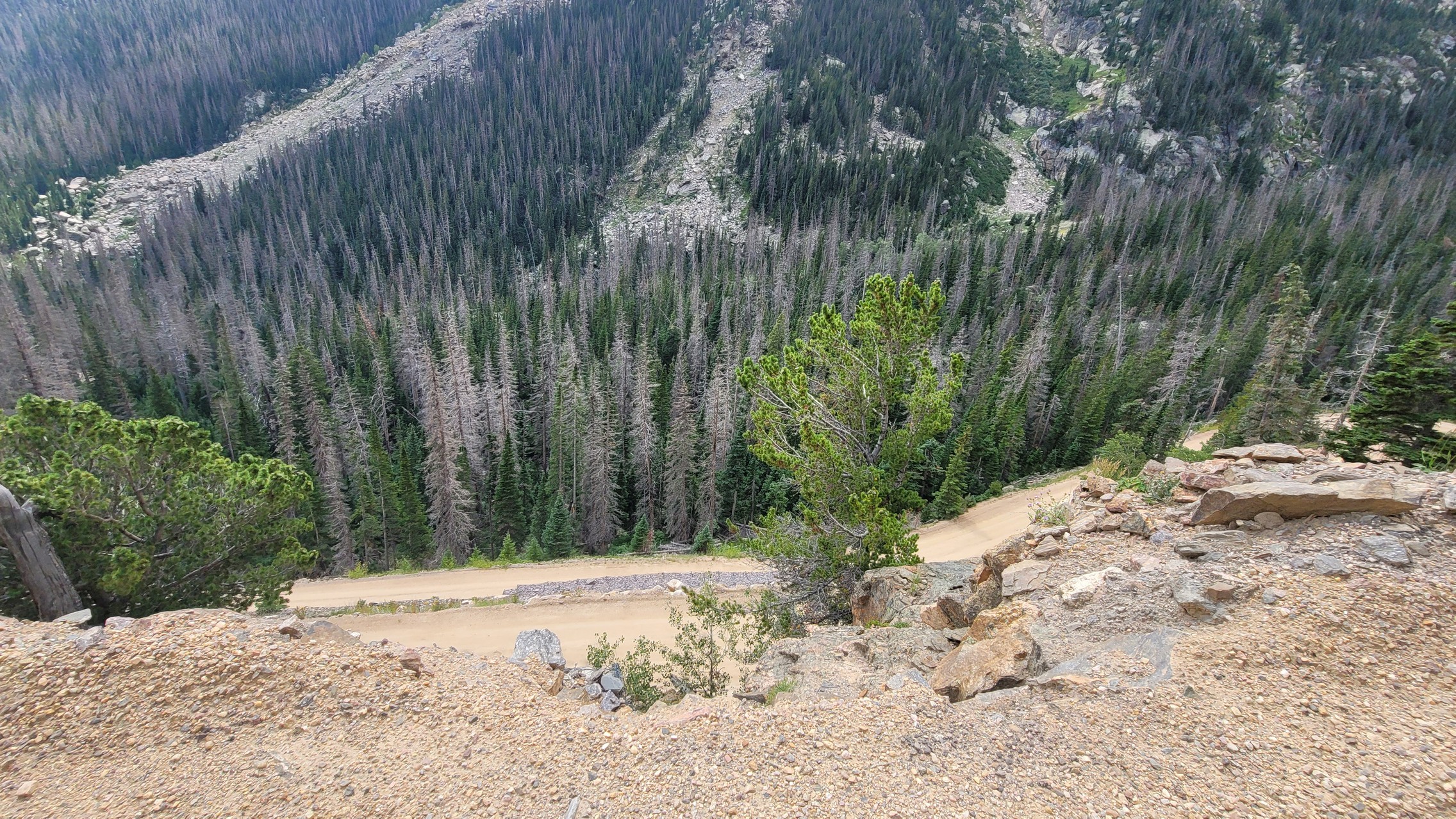
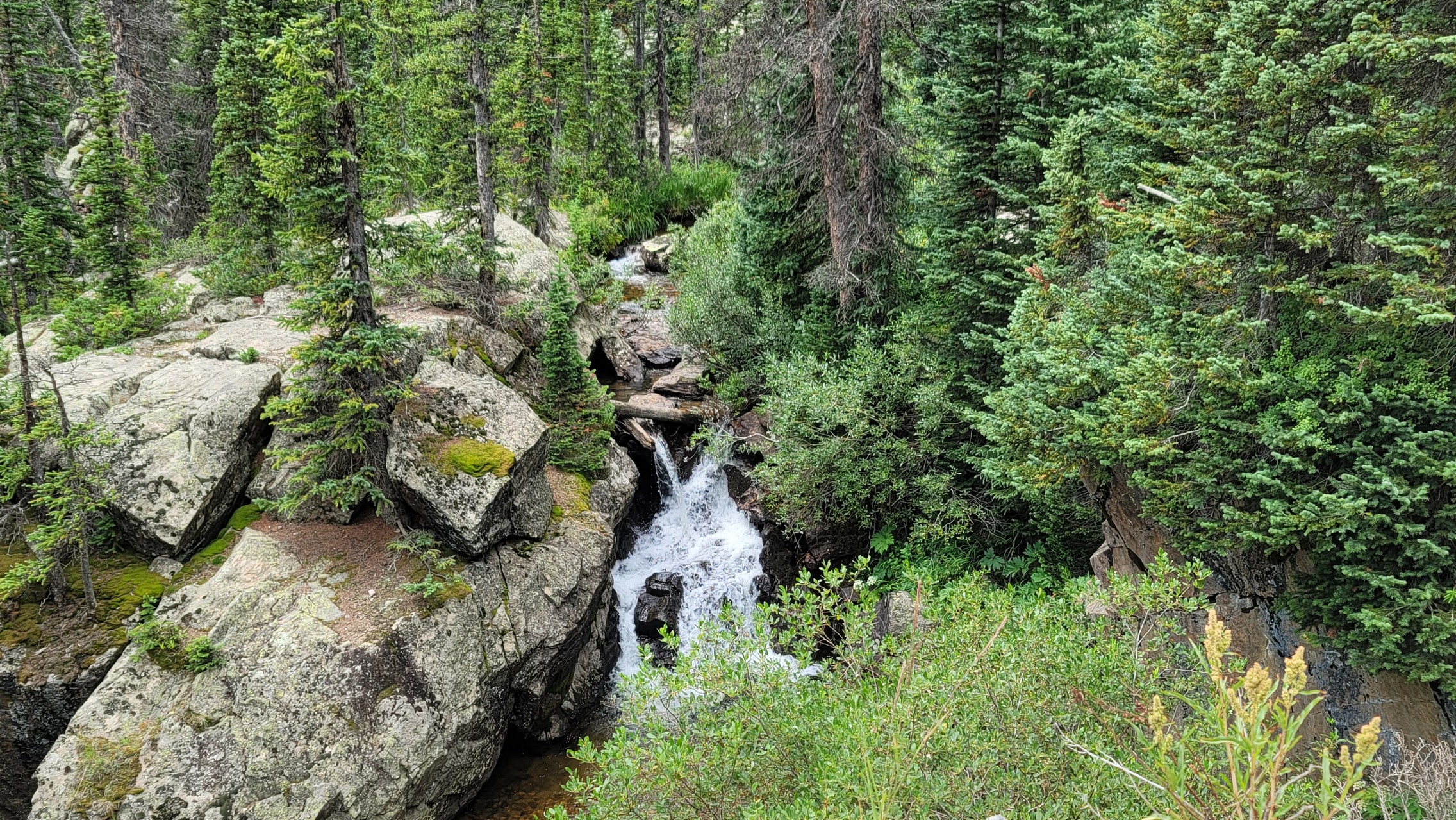
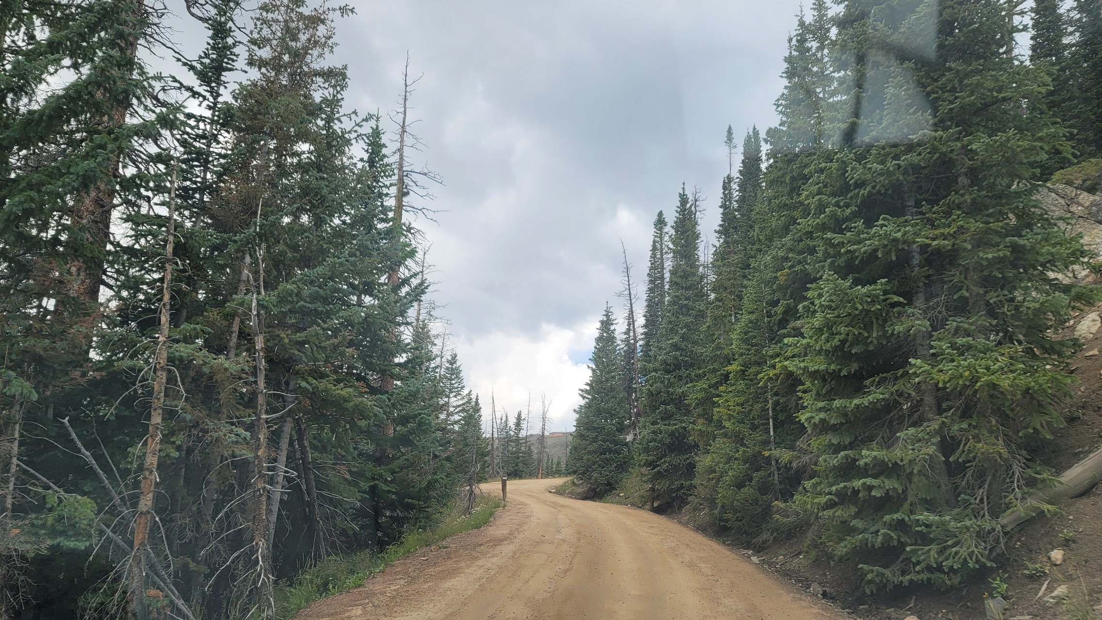
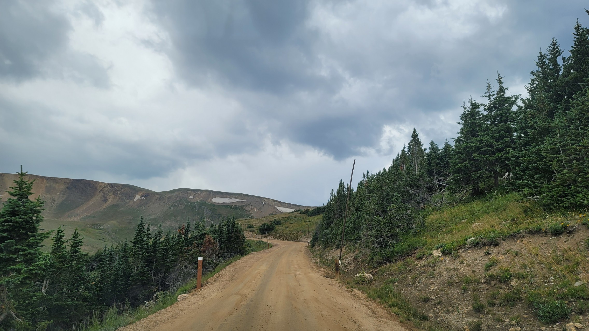
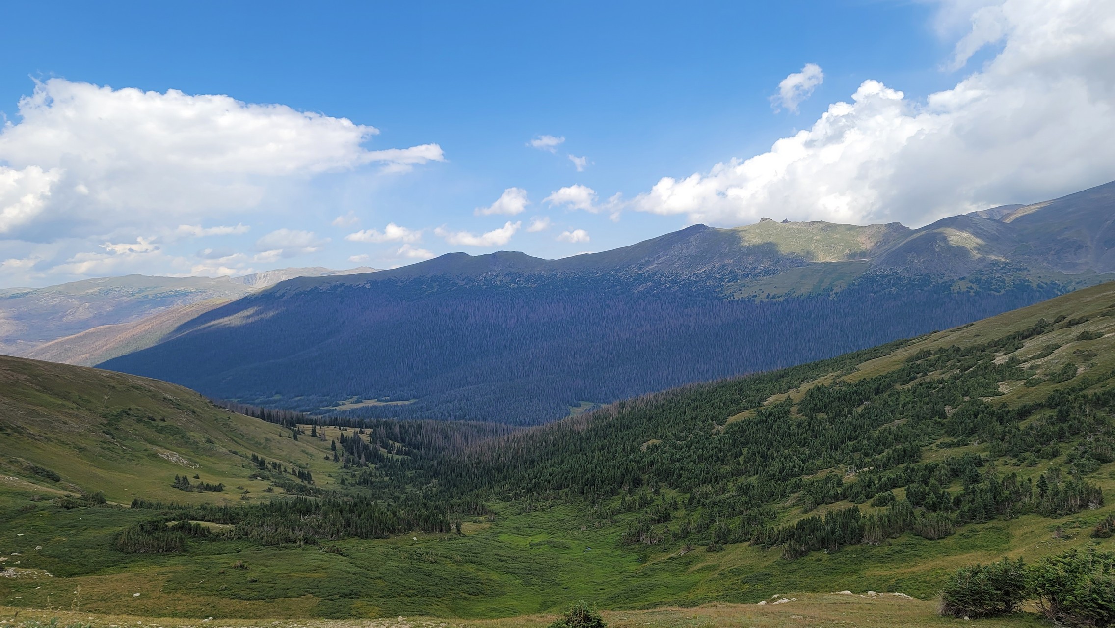
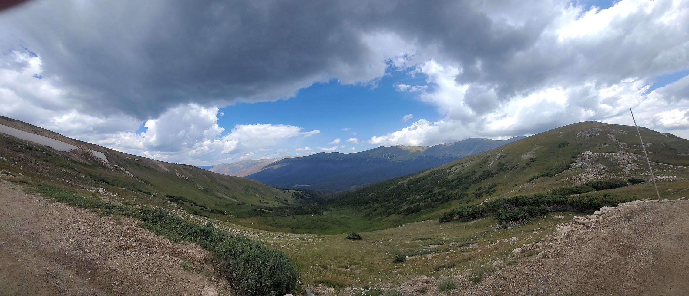
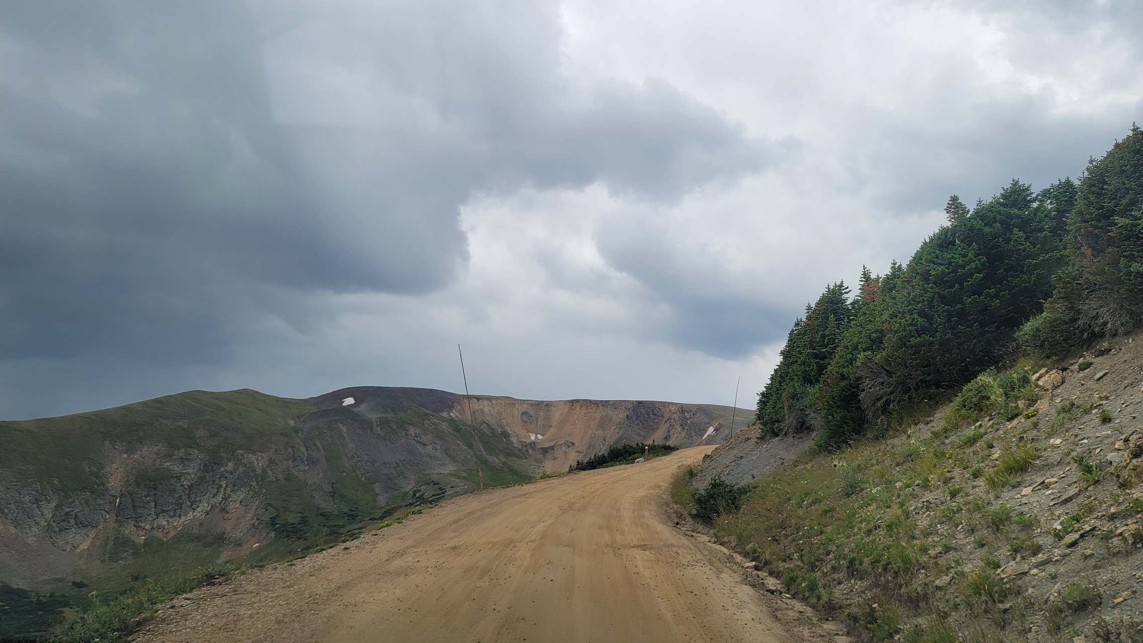
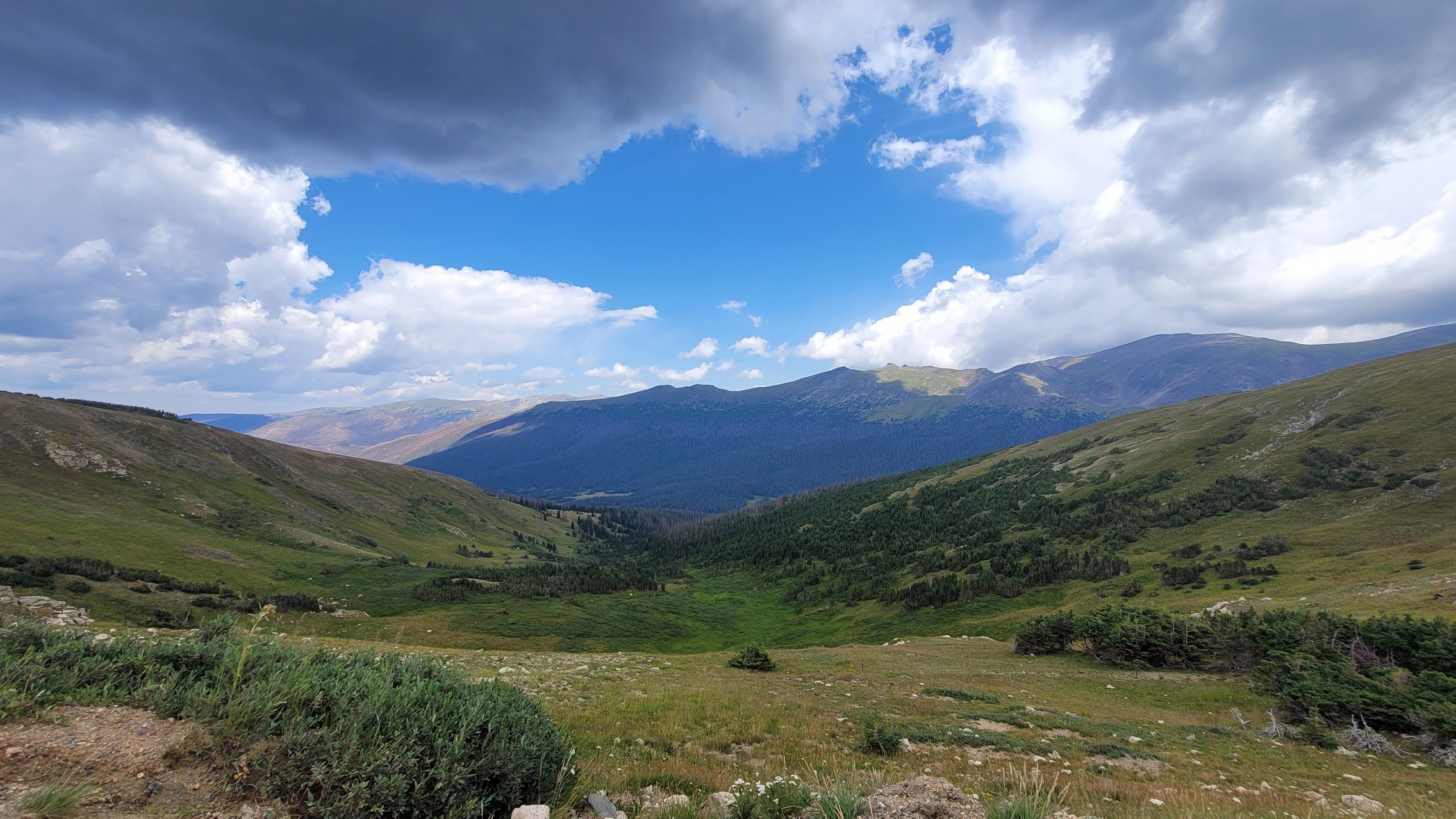
It was gorgeous the entire way up. It starts in the trees, and the views of mountains are awe-inspiring. You climb steadily the entire time, and the valley below gets farther and farther away. At one point, you can see three levels of trail as you do switchbacks.

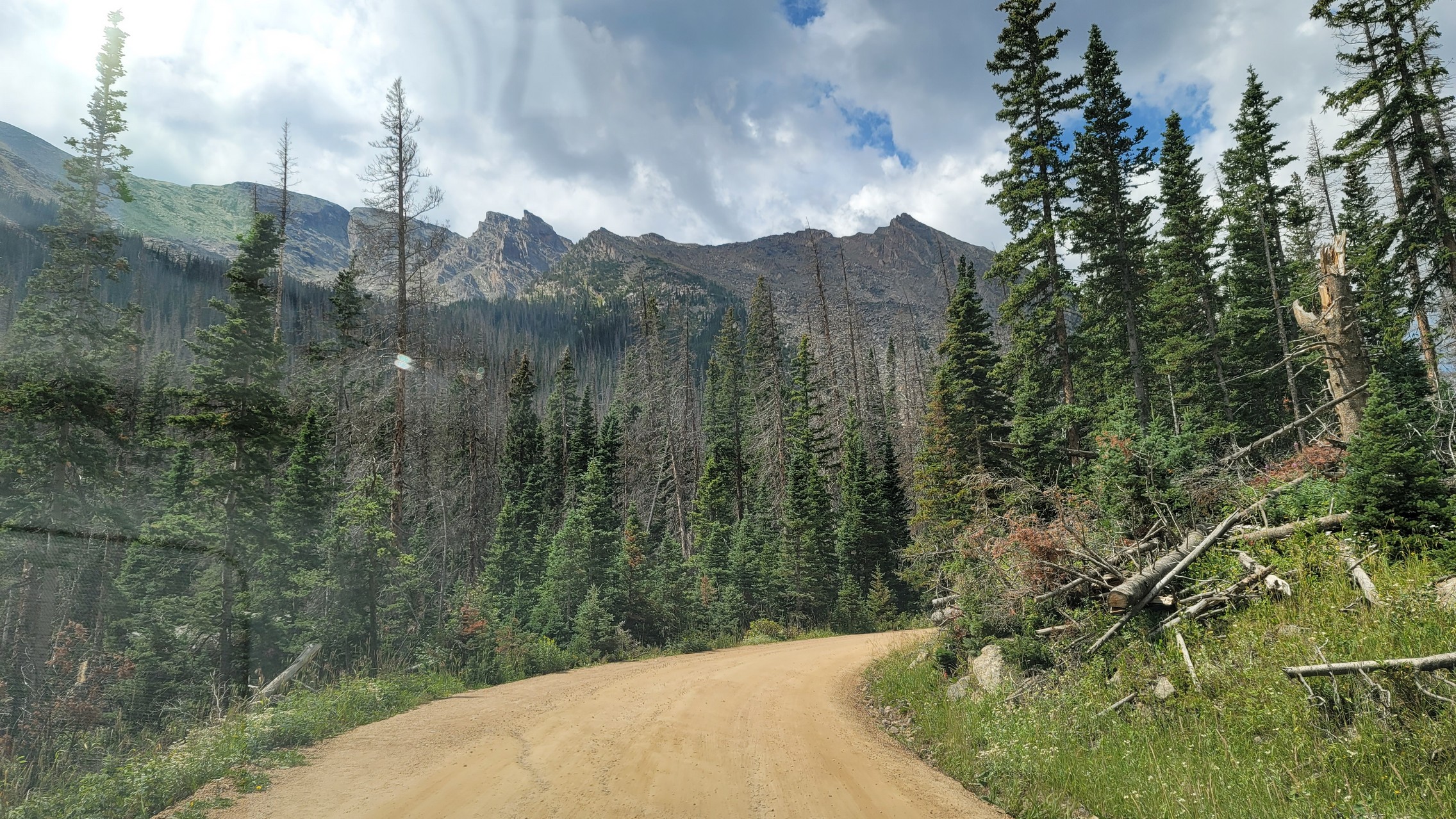
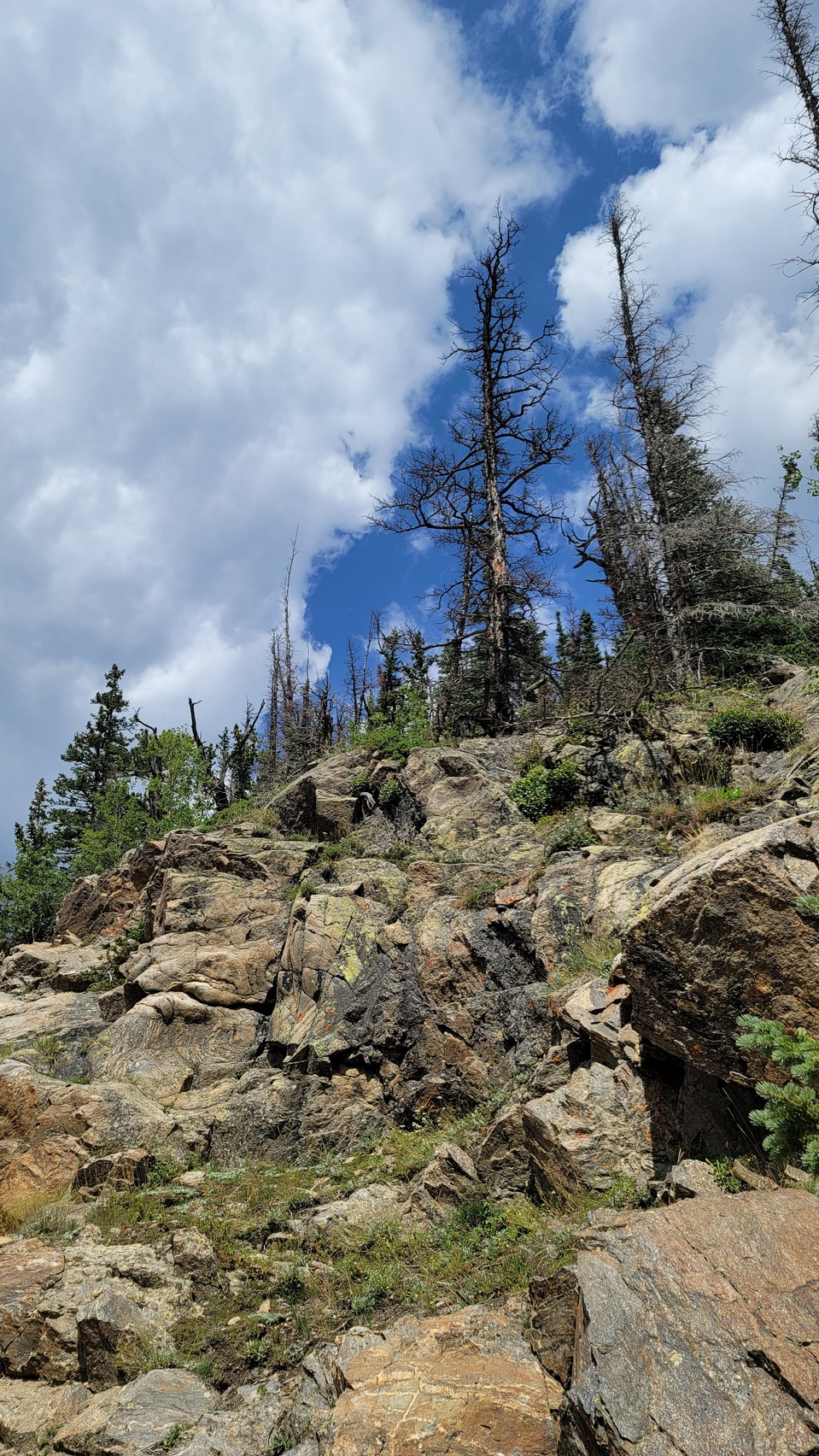
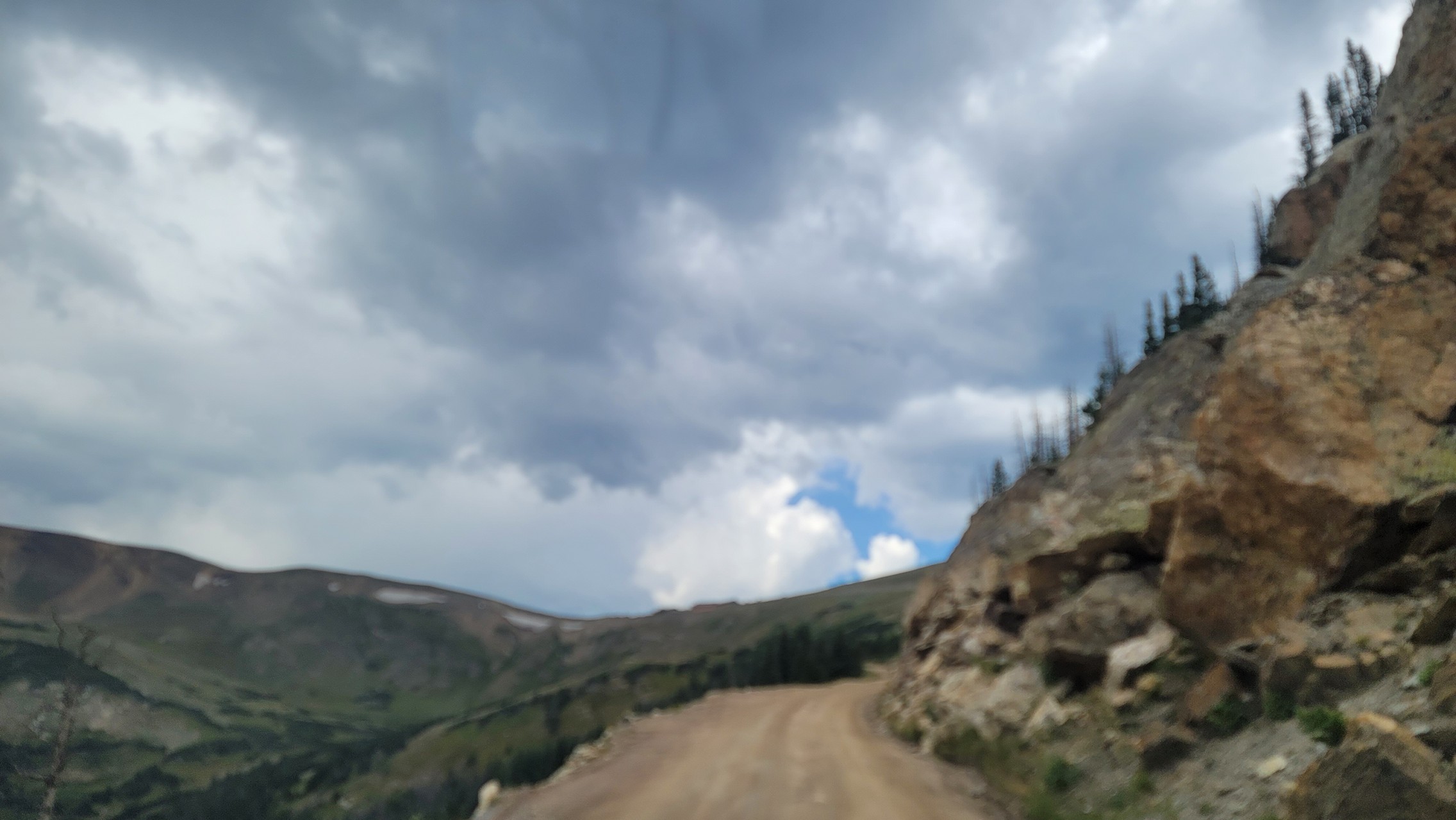
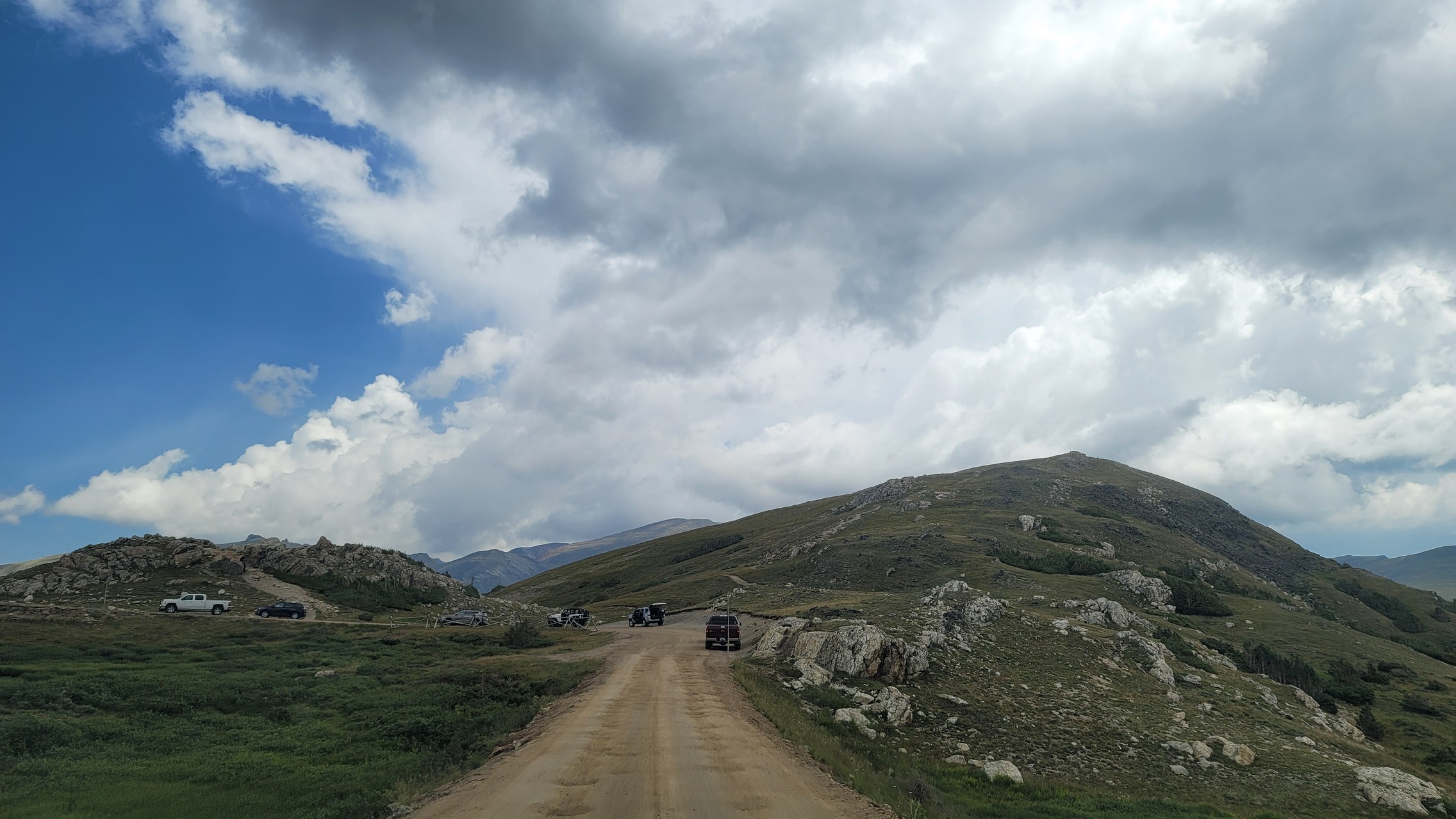
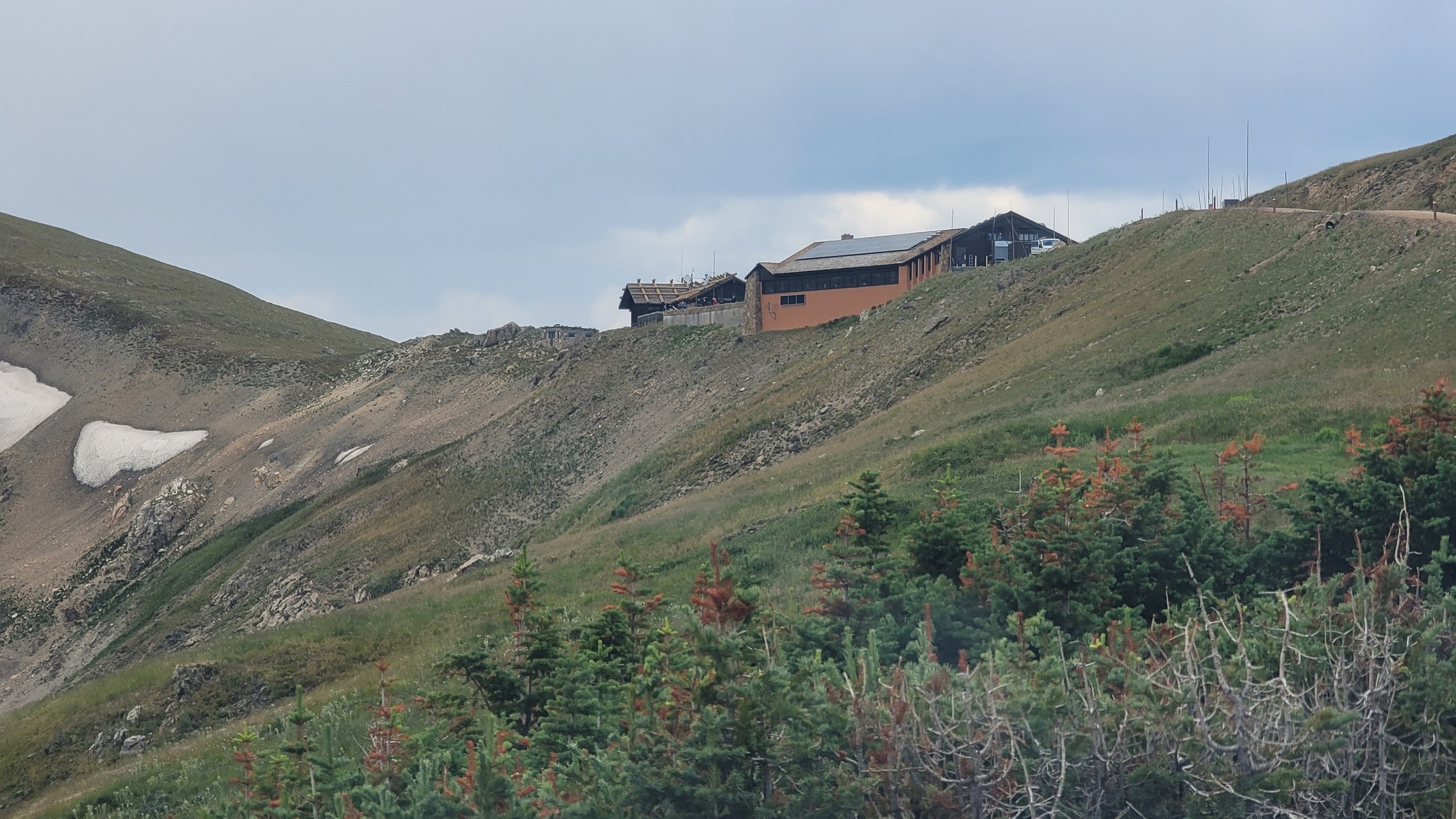
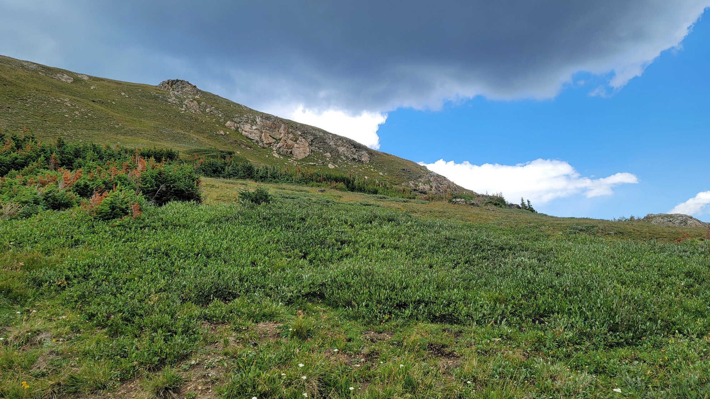
The trees got shorter with more space between them as we climbed. Then they disappeared completely as we climbed above timberline. That was probably the best part, with big views of the valley below and the road ahead.

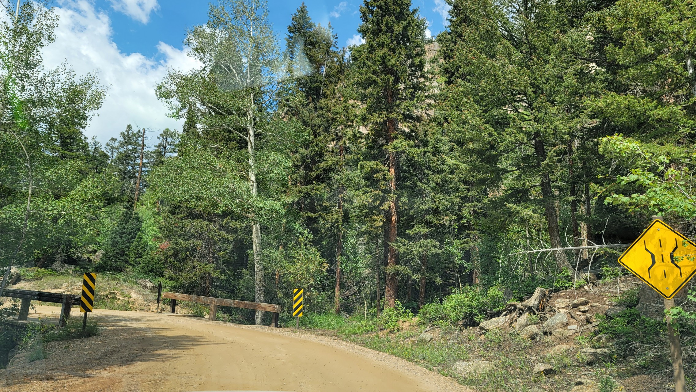
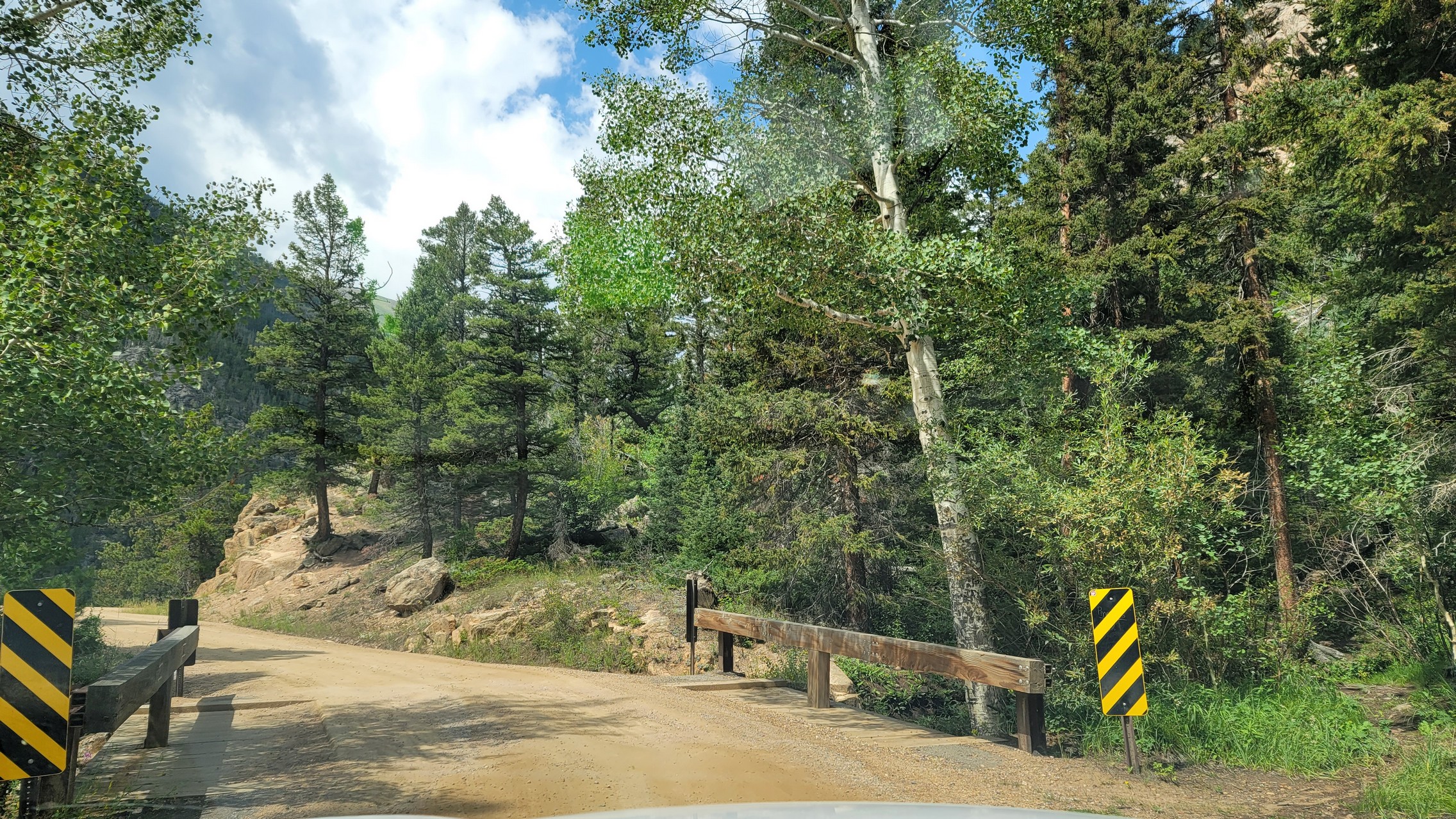
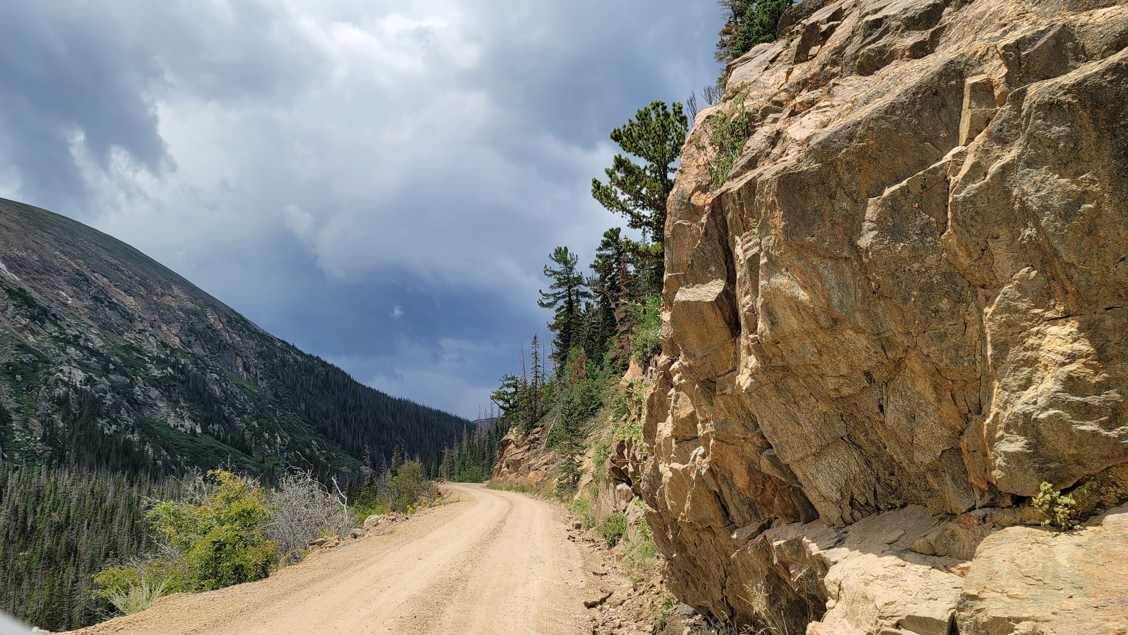
It's an easy road of hard-packed dirt the entire way. A passenger car would be fine, though something with four-wheel drive or all-wheel drive might be best in case you get near the loose edge of the trail. It wouldn't be a safe trail for someone who is afraid of heights, but everyone else can enjoy it.

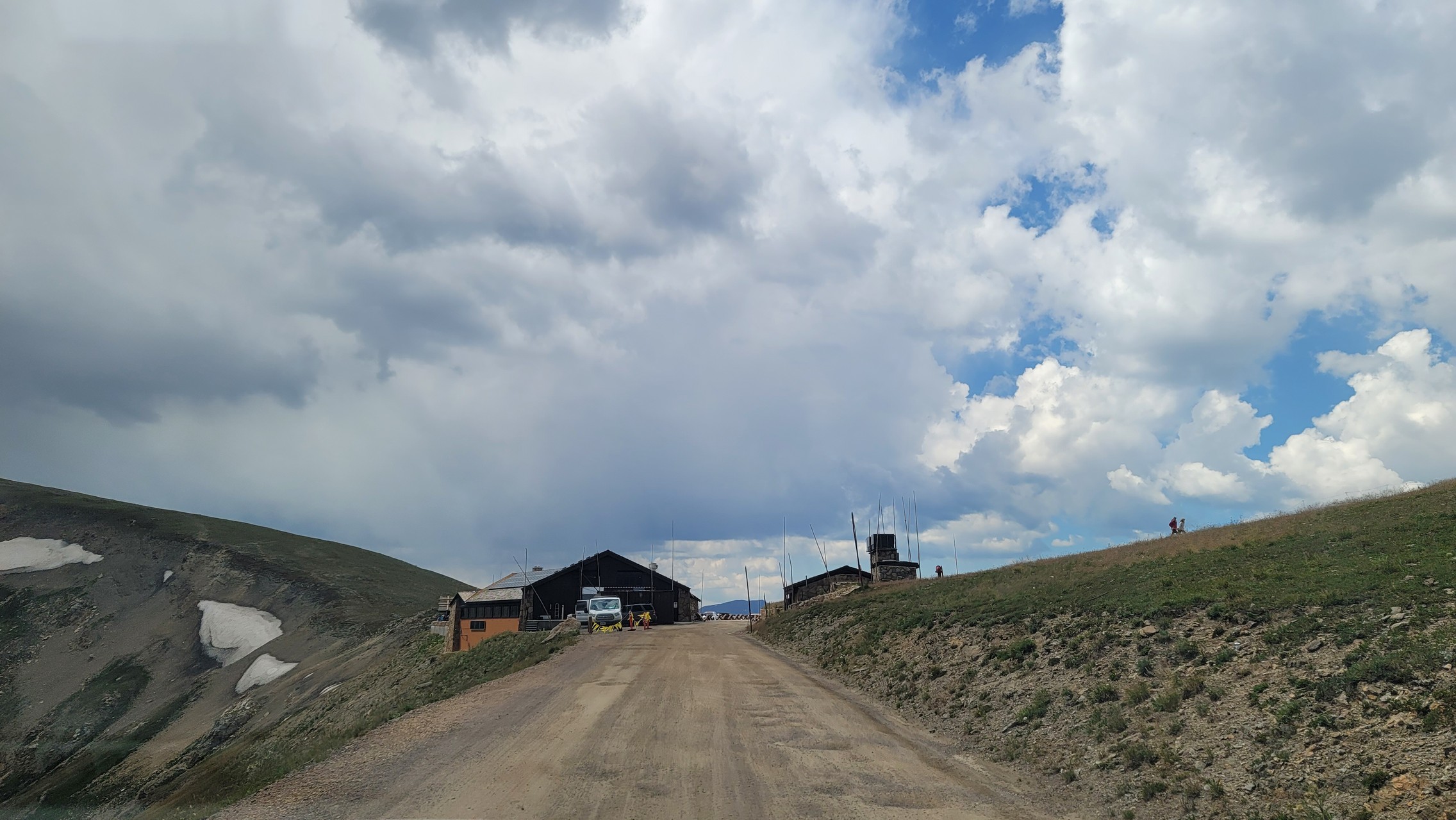
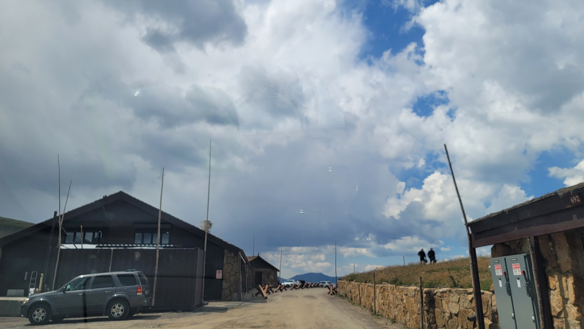
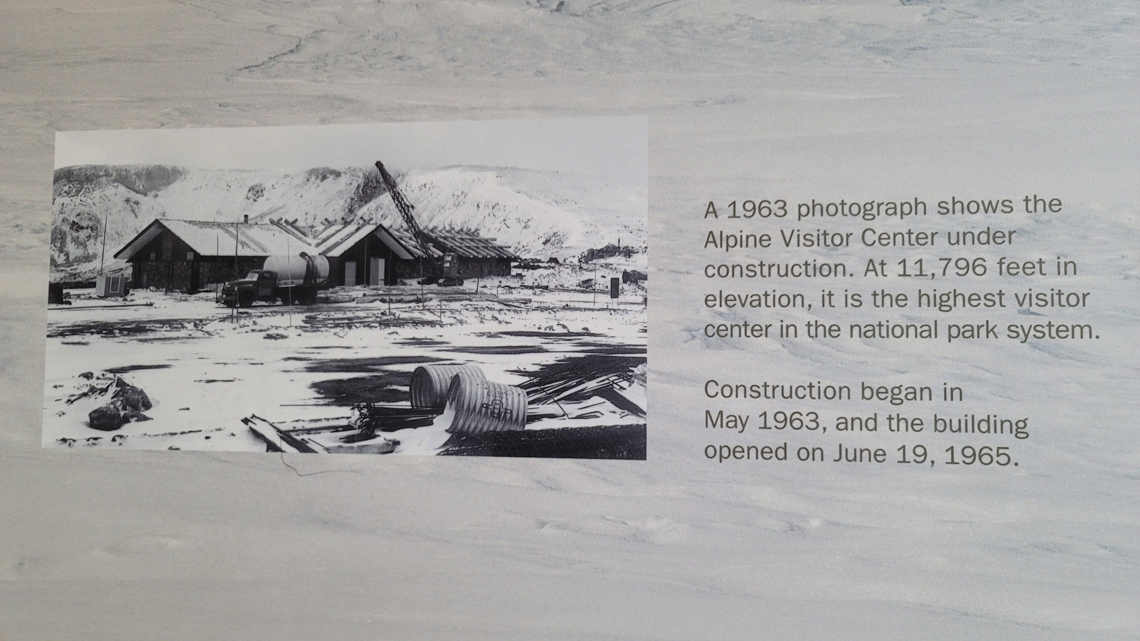
When she got to the top, she parked and started walking to the gift shop (there is a lot at the top). Then, it started raining. And then hailing. Then the message came to stay in the buildings or in your car because the weather was turning. She really timed it right, because the dirt road could definitely get slippery if it was muddy.

The trip back down the mountain was on pavement on Trail Ridge Road. It was a great way to see the park.
20220819_114118
20220819_114129
20220819_114156
20220819_114243
20220819_114343
20220819_114351
20220819_114355
20220819_114437
20220819_114604
20220819_114759
20220819_114840
20220819_115117
20220819_115134
20220819_115301
20220819_115447
20220819_115950
20220819_120046
20220819_120152
20220819_120217
20220819_120406
20220819_120745
20220819_120850
20220819_120923
20220819_121143
20220819_121438
20220819_121608
20220819_122004
20220819_122222
20220819_122236
20220819_122427
20220819_123430
20220819_123730
20220819_123917
20220819_123921
20220819_124022
20220819_124142
20220819_124305
20220819_124409
20220819_124412
20220819_124423
20220819_124512
20220819_124550
20220819_124616
20220819_124657
20220819_124738
20220819_124755
20220819_141921

Report from a Different Day

September 21, 2005

Led by Monica I.
We spend so much time on the paved Fall River Road near Idaho Springs on I-70, so it was weird…
Join Us!
If you aren’t a Member or Subscriber, you can’t see all of the content on this site. Get membership information to see why this site is best when you join and log in

Information for Subscribers

When you log in you’ll see more information here:

  • Recent Community Forum posts
  • Recent polls
  • Upcoming Events you can attend
  • Links to online users

© 2000-2026 · TrailDamage.com · Terms and Conditions · About · Contact
Trail information is only accurate on the date posted. Trails may have changed or closed since that date. Use this information for historical purposes only.
Contact the Forest Service or Bureau of Land Management for up-to-date trail information.