
TrailDamage.com

Photos, videos and information about 4x4 trails in Colorado and Utah

  • Trails
    • Colorado
    • Utah
  • Reports
    • Featured Photos
    • Reports Calendar
  • Members
  • Search
  • FAQ
  • Community
  • Upcoming Events
  • Membership
  • Log In
  • Facebook
  • Instagram
  • RSS
  • Twitter
  • YouTube
  • Trails
    • Colorado
    • Utah
  • Reports
    • Featured Photos
    • Reports Calendar
  • Members
  • Search
  • FAQ
  • Community
  • Upcoming Events
  • Membership
  • Log In

Crooked Creek 120915

September 15, 2012 by Monica

Crooked Creek

Trail Run on September 15, 2012
Report and photos by Monica I., Trail Leader
View trail information for Crooked Creek

Monica I.
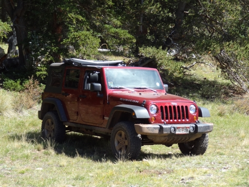
Red 2010 Jeep Wrangler Rubicon
Mike C.
Red 2012 Jeep Wrangler Unlimited Rubicon
Gary R.
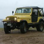
Yellow 1978 Jeep CJ-7
Bill S.
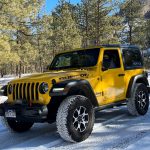
Yellow 2020 Jeep Wrangler Rubicon
Bryan P.
Teal 1993 Jeep Wrangler
Matt K.
White 2016 Jeep Wrangler Unlimited Rubicon
Walt S.
Gray 2022 Jeep Wrangler Unlimited Rubicon 392

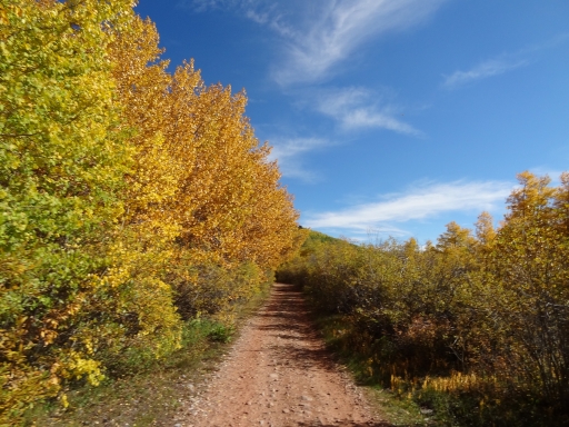
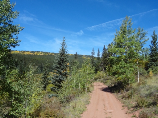
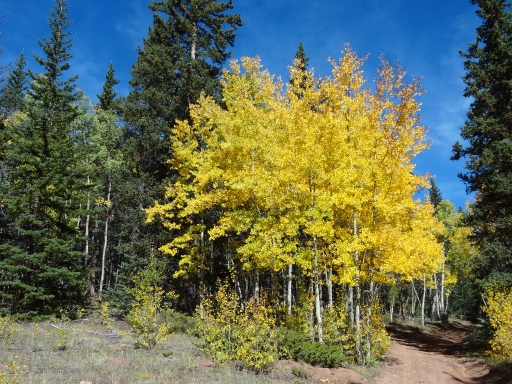
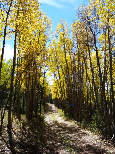
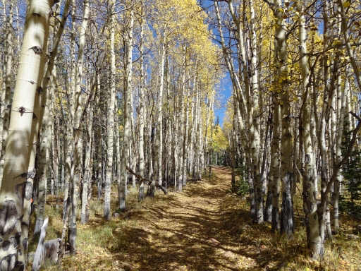
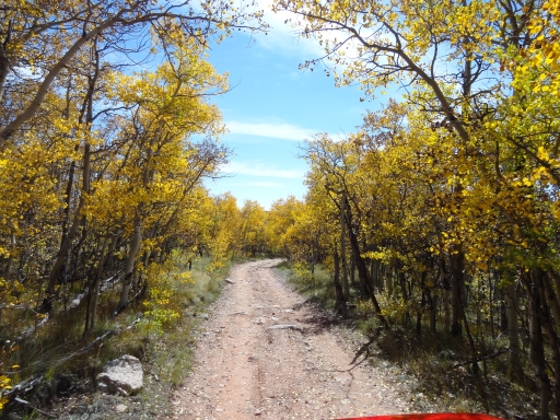
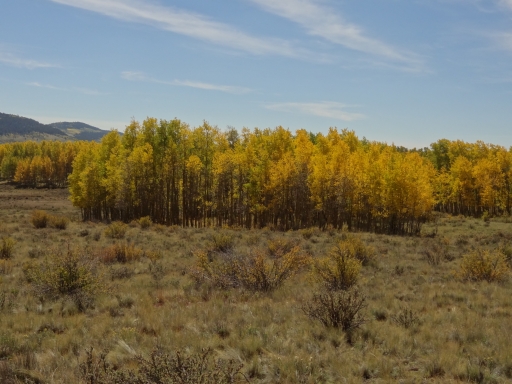
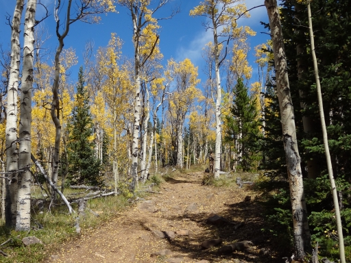
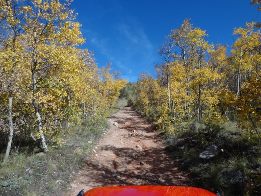
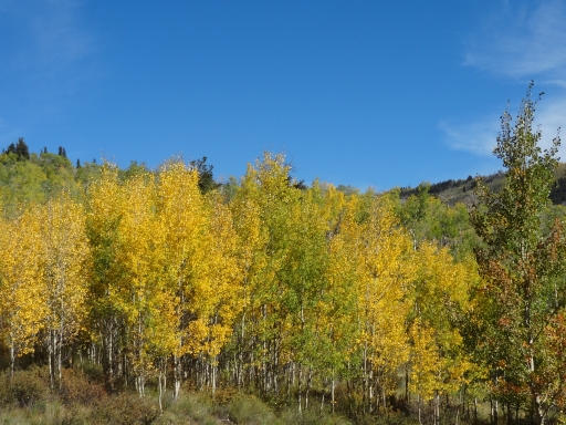
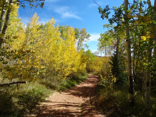
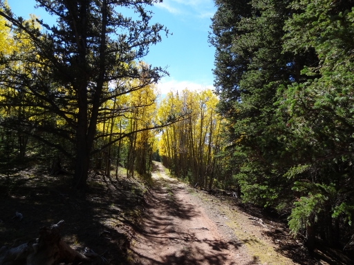
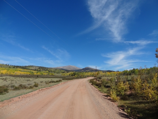
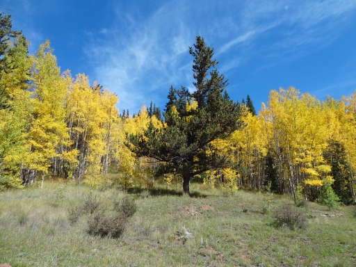
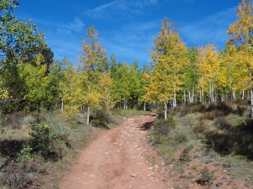
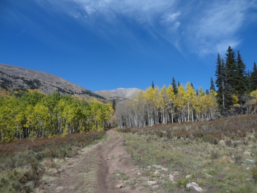
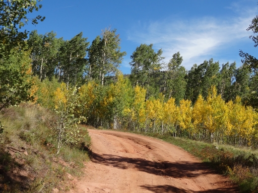
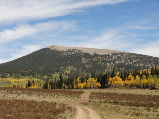
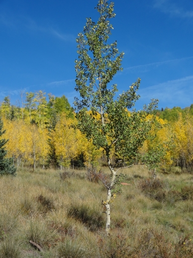
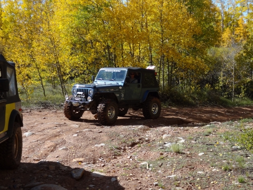
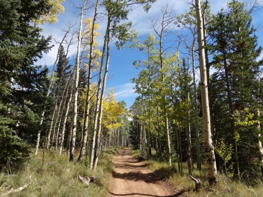
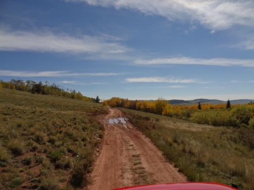
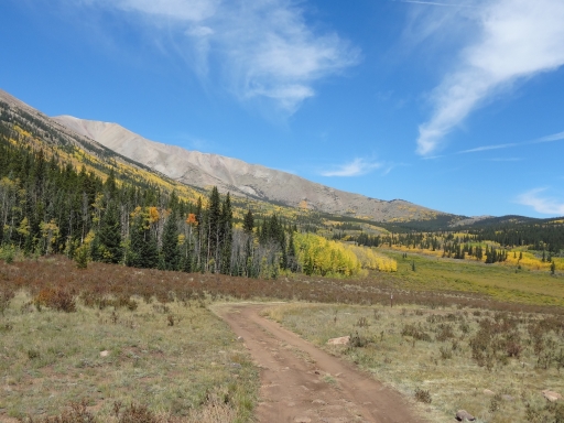
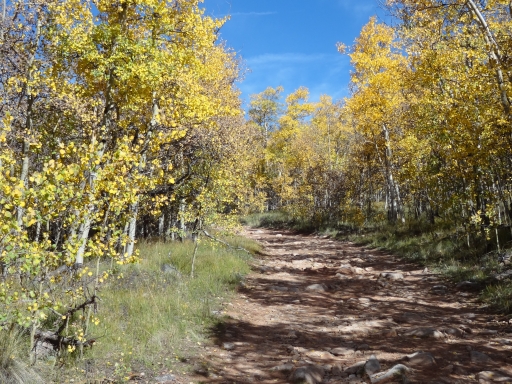
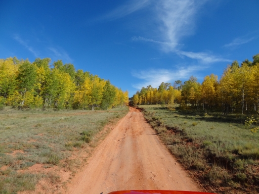
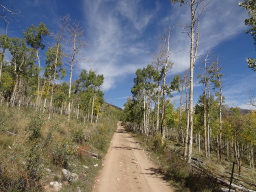
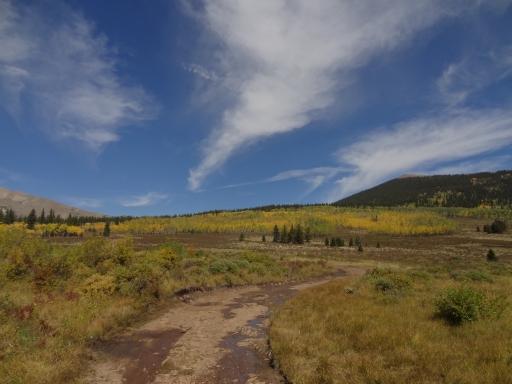
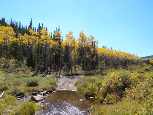
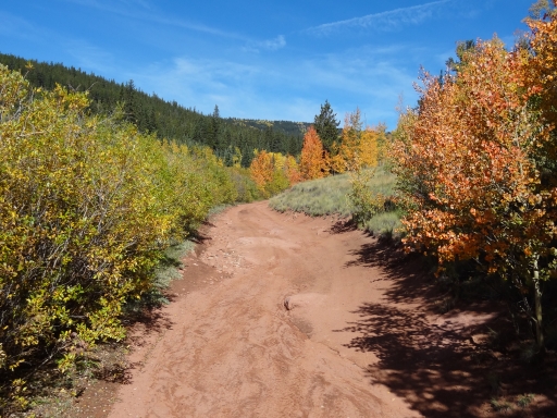
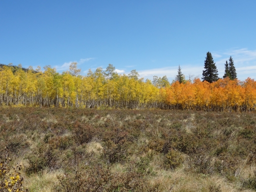
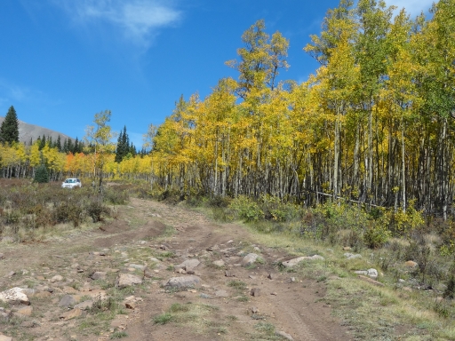
It seemed like we'd been planning to run the trails just north of Fairplay for such a long time. It had been years, and we were finally going to see the area. It turned out that we planned the perfect weekend for it, too, because we were surrounded in aspen trees with their leaves turning yellow and orange. It was a gorgeous morning as we met at the Sinclair gas station in Fairplay to air down.

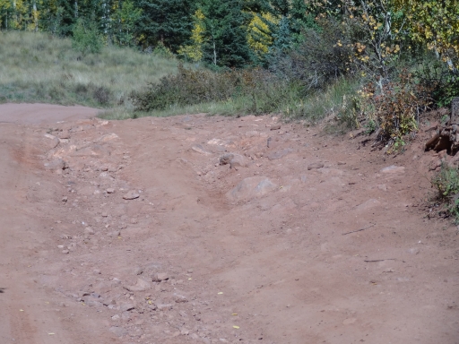
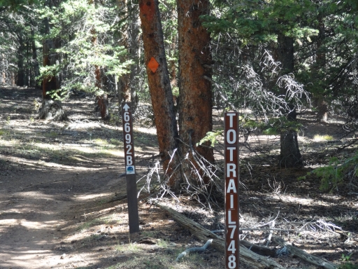
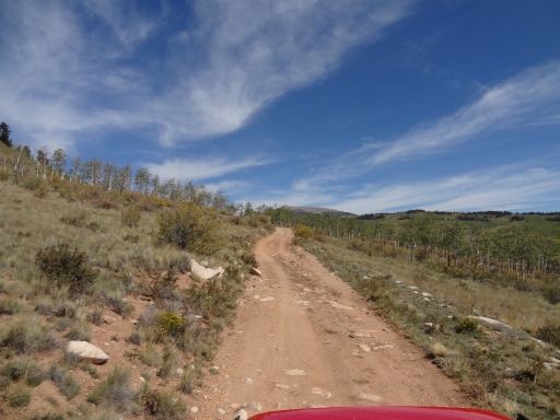
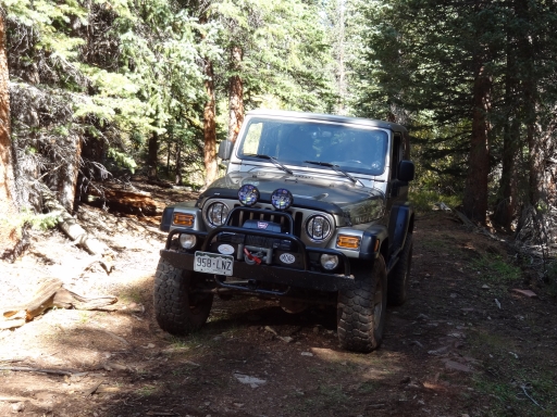
Finding the trail was very easy, and we were quickly on our way. We saw a few people out, but it wasn't too busy. The first part of the trail was easy, but then we found ourselves in a trail marked with huge potholes. It was slow going for that section.

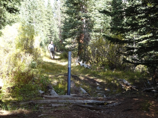
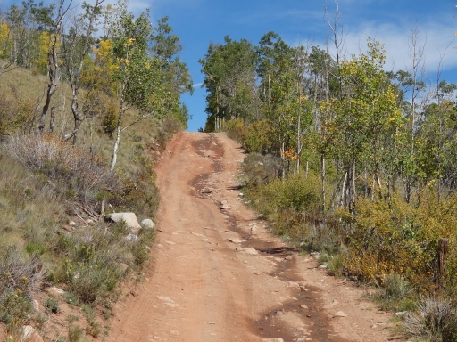
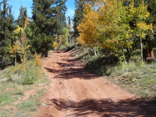
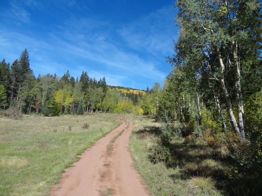
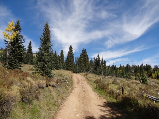
At the "Y" intersection we turned left first. That half ended up being a nice start to the day, with nice scenery and a fun hill climb. The climb was short but it was rocky, and it was a good way to wake up after the drive to Fairplay.

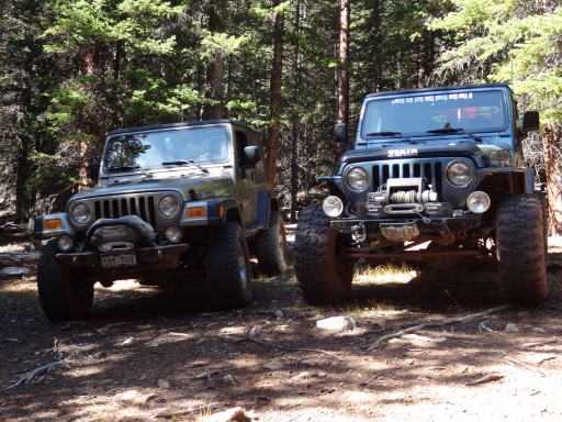
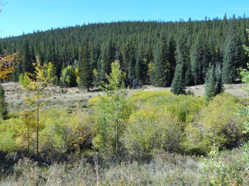
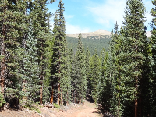
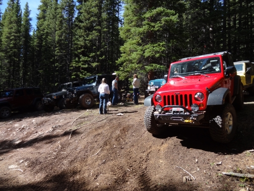
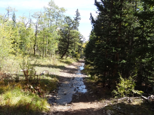
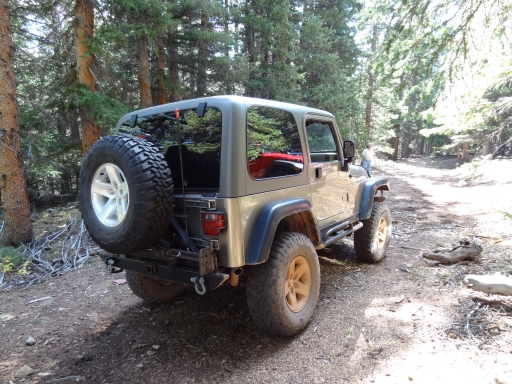
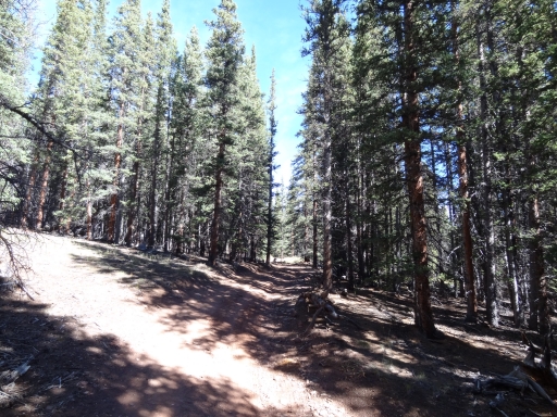
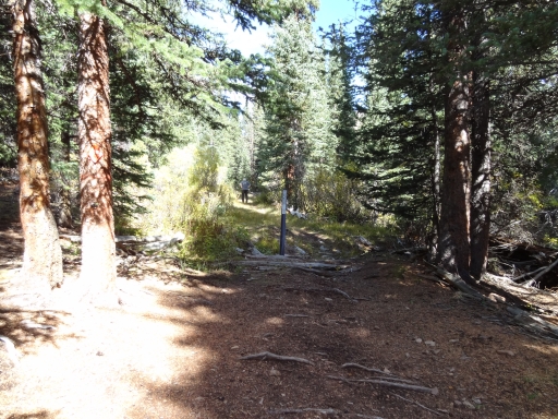
We were in the trees after too long, and most of them were big, green pine trees. It was shady and relaxing. Then the trail just ended abruptly. There was room to turn around, so everyone parked and we got out to stretch our legs. It seemed like no one wanted to get back in the Jeeps to get rolling again, and we stayed there a while just visiting.

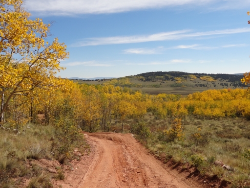
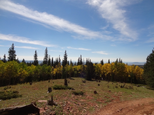
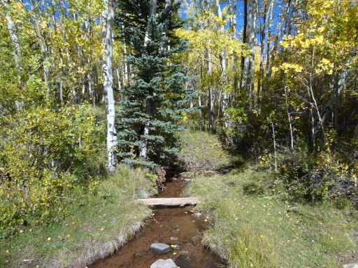
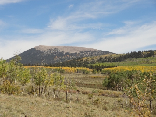
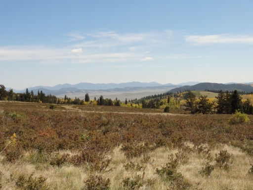
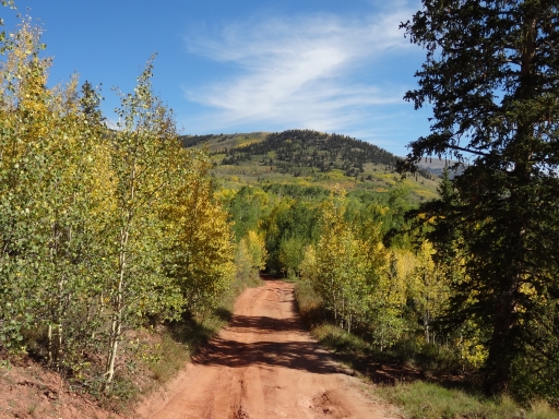
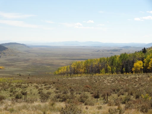
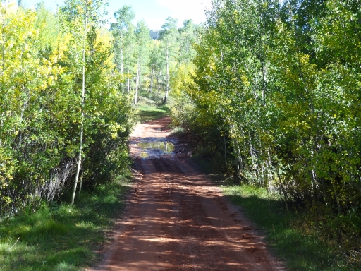
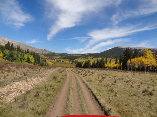
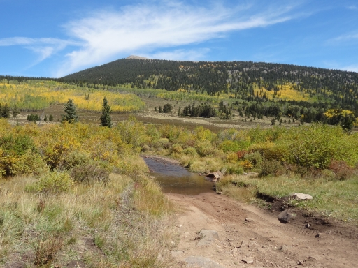
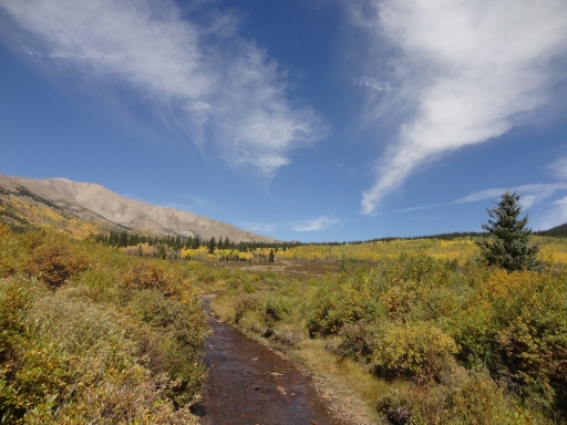
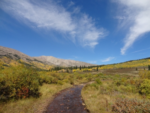
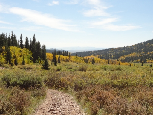
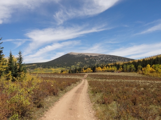
But we did head back to the intersection eventually. We turned to head up the other half, and that part of the trail was really nice. It was cool to drive in the creek for a bit, too, which was a nice surprise. That's when the views got really big.

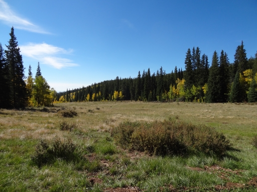
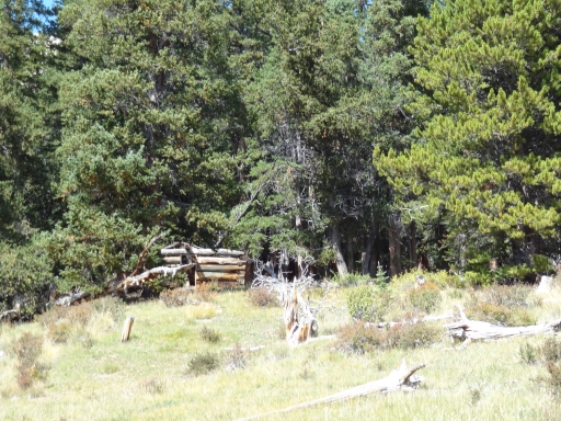
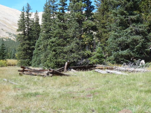
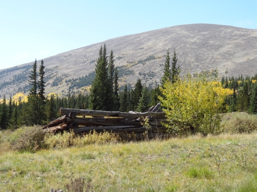
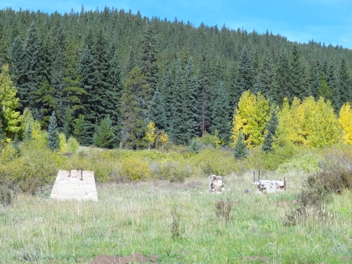
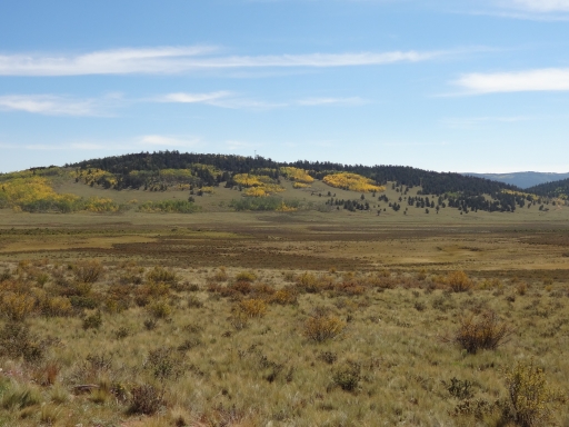
We spotted the perfect lunch spot, but it was early so we'd come back to it. The last bit was really bumpy so we had to go pretty slow. Once it ended we found ourselves surrounded by old cabins. We got out to enjoy the views of the mountains around us. Two people on horseback were out exploring the area, and we got to chat with them for a bit. It was the perfect morning.

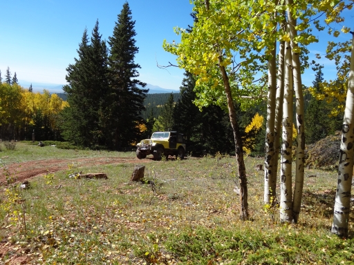
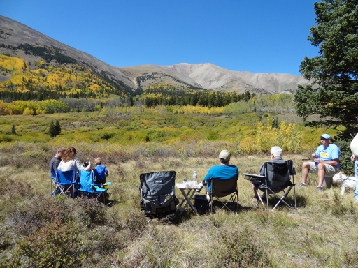
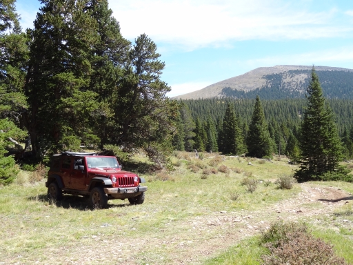
We headed back down to stop at the big campsite with big views. We broke out our lunches and just took it all in. It felt like the 2012 wheeling season was coming to an end, and we just wanted to hang out there all day. But we had big plans for the rest of it, so we packed up to head back down. We were soon back out and Bill had to take off because he wasn't feeling well. The rest of us headed to the next trail.

all_different_colors
aspens_and_rocks
aspens_part_1
aspens_part_2
aspens_part_3
aspens_part_4
aspens_part_5
aspens_part_6
aspens_part_7
aspens_part_8
aspens_part_9
big_sky
bill_and_matt
bumpy
climb
colors
crooked_creek
curve_in_the_trees
dark_and_light
early_dirt_road
end_of_the_trail
evergreen_in_aspens
fall_colors
following_signs
fun_hill
gary_on_the_trail
good_stuff
gorgeous
healthy_trees
layers_of_aspens
little_baldy_mountain_part_1
little_baldy_mountain_part_2
little_bumps
lone_tree
lunch
many_colors
matt_on_the_trail
meadow
mellow_trail
mike_at_the_eastern_end
mike_in_scenery
mike_parked_at_the_end_part_1
mike_parked_at_the_end_part_2
mixture_of_trees
mountain_range_in_the_distance
mountain_view
old_cabin_1
old_cabin_2
old_cabin_3
old_foundation
open_area
palmer_peak
parked_at_the_end
patches
rock_shadow
rocky_hill
rocky_trail
ruts_in_aspens
see_for_miles
start_of_the_trail
still_green
tall_aspens
three-track
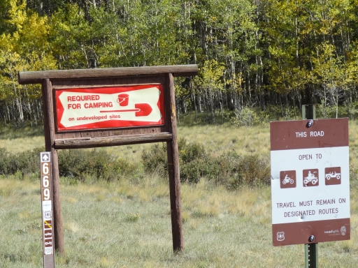
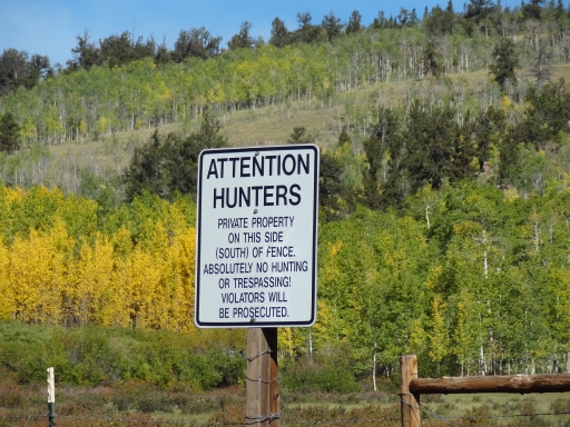
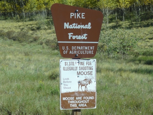
trailhead_sign_1
trailhead_sign_2
trailhead_sign_3
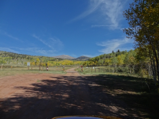
trailhead
trout_creek_crossing_part_1
trout_creek_crossing_part_2
trout_creek_crossing_part_3
trout_creek_crossing_part_4
trout_creek_crossing_part_5
trout_creek_on_the_trail
two-track
valley_view
walt_on_the_trail
walt_parked
wavy
western_climb
western_end
wispy_clouds
yellow_and_orange
Join Us!
If you aren’t a Member or Subscriber, you can’t see all of the content on this site. Get membership information to see why this site is best when you join and log in
Information for Subscribers

When you log in you’ll see more information here:

  • Recent Community Forum posts
  • Recent polls
  • Upcoming Events you can attend
  • Links to online users

© 2000-2026 · TrailDamage.com · Terms and Conditions · About · Contact
Trail information is only accurate on the date posted. Trails may have changed or closed since that date. Use this information for historical purposes only.
Contact the Forest Service or Bureau of Land Management for up-to-date trail information.