

TrailDamage.com

Photos, videos and information about 4x4 trails in Colorado and Utah

  • Trails
    • Colorado
    • Utah
  • Reports
    • Featured Photos
    • Reports Calendar
  • Members
  • Search
  • FAQ
  • Community
  • Upcoming Events
  • Membership
  • Log In
  • Facebook
  • Instagram
  • RSS
  • Twitter
  • YouTube
  • Trails
    • Colorado
    • Utah
  • Reports
    • Featured Photos
    • Reports Calendar
  • Members
  • Search
  • FAQ
  • Community
  • Upcoming Events
  • Membership
  • Log In

Cottonwood Pass 130927

September 27, 2013 by Monica

Cottonwood Pass

Trail Run on September 27, 2013
Report and photos by Monica I., Trail Leader
View trail information for Cottonwood Pass

Roger R.
Gray 2021 Jeep Wrangler Rubicon 4xe
Monica I.
Red 2010 Jeep Wrangler Rubicon
Julie M.
Green 2012 Jeep Wrangler Unlimited Rubicon
Walt S.
Gray 2022 Jeep Wrangler Unlimited Rubicon 392

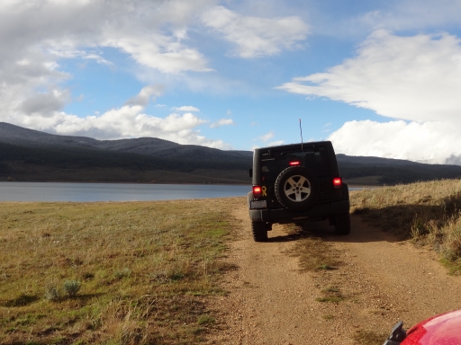
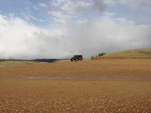
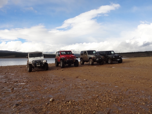
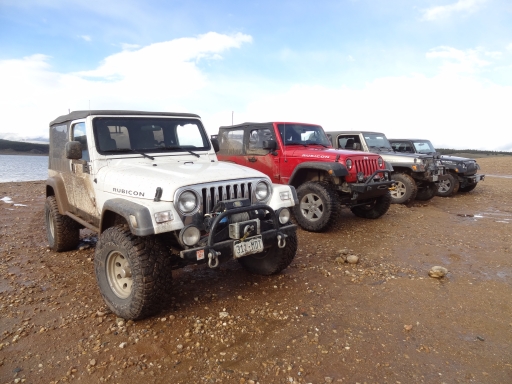
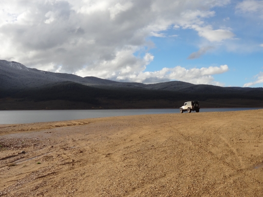
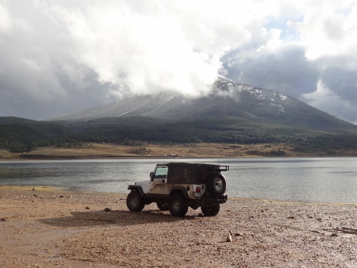
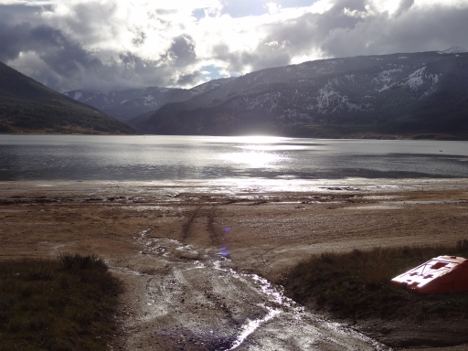
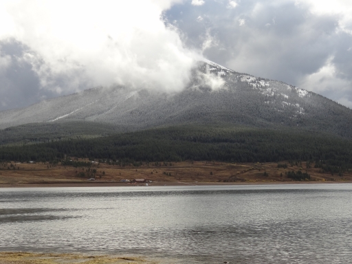
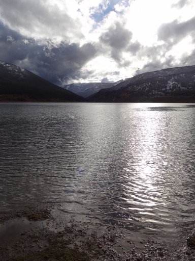
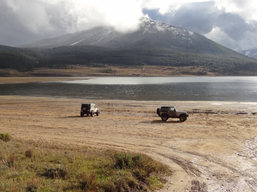
After coming out onto the pavement at the Lottis Creek Campground, we were back in traffic as we followed Taylor River north through Taylor Canyon. It was absolutely gorgeous, with wet roads and people fishing. When we got to the reservoir we found a spur that took us all the way down to the water's edge. How often do you get to drive next to a lake? It was one of the day's highlights, so we hung out for a bit before heading over to Cottonwood Pass.

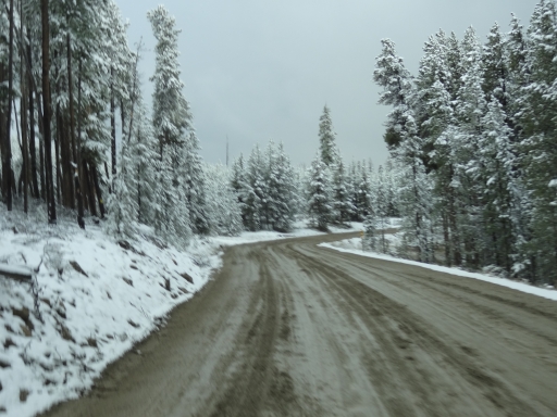
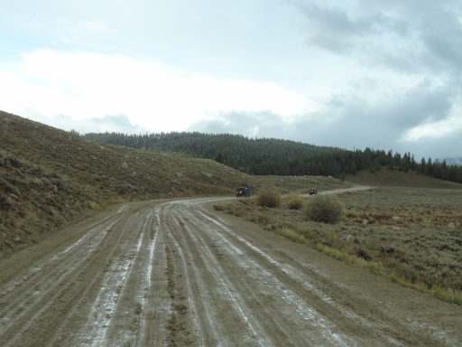
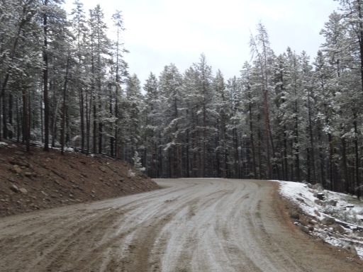
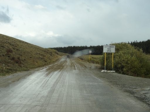
It wasn't muddy near the reservoir, but many vehicles were covered in mud. The reason for that became apparent as we headed toward Cottonwood Pass. The road was a mess, with mud more than an inch deep in places. It was slick and sloppy, and there was a lot of traffic in both directions.

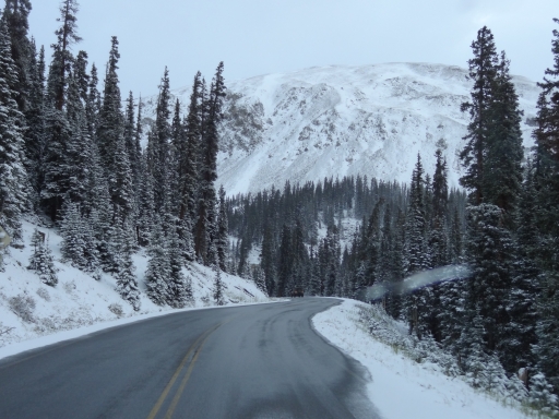
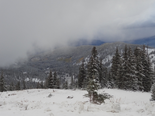
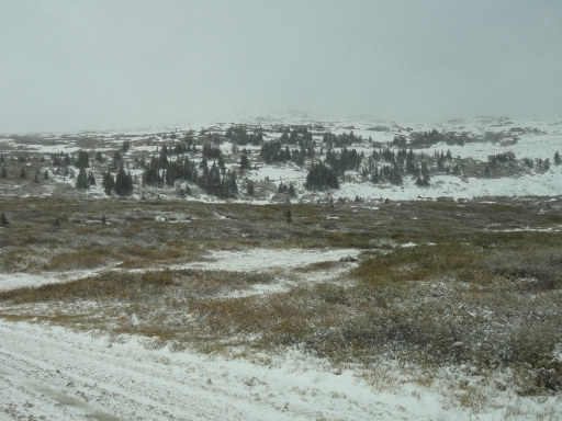
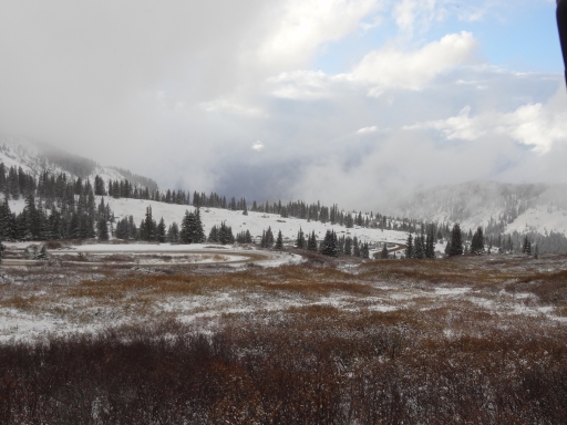
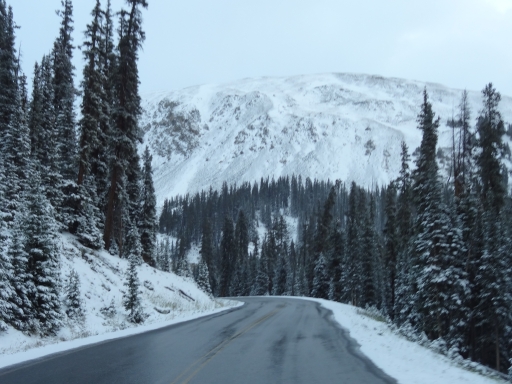
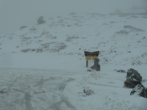
As we climbed higher in elevation, the sloppy mud turned into frozen mud. It seemed to make things easier to drive but probably a bit more dangerous. We took it easy through the switchbacks and found our way to the pass. It was snowing and 25 degrees there, so we didn't get out. Winter is coming.

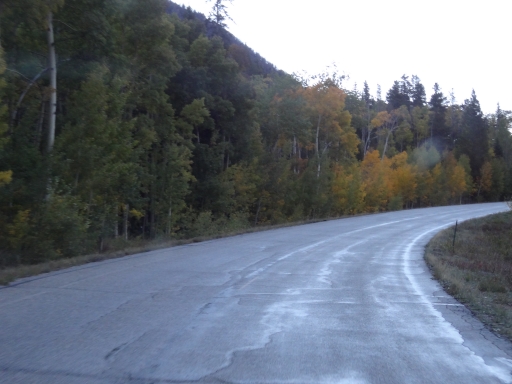
Then the frozen mud turned to icy pavement as we started down. That's never fun, so we went very slowly. A rental Jeep got in the middle of our group and stayed with us to Buena Vista. Luckily, the ice turned to water soon after the pass and then it was just sloppy to the end.

The drive along Cottonwood Creek is always pretty, but the conditions seemed to make things even prettier. When we got to Buena Vista we stopped for dinner at Quincy's and it was as busy as it always is. Though the meal was good we decided that the Leadville location is much better and our favorite. With so many other options in Buena Vista, we could skip this one next time.

We were back at the KOA and we had firewood, but everyone was tired and cold after our day. We didn't even start a fire, so we were off to bed fairly early. Though the snow made things a little dicey in spots, the day was pretty awesome.
careful_descent
cottonwood_pass_sign
heading_down
julie_at_taylor_park_reservoir_part_1
julie_at_taylor_park_reservoir_part_2
julie_on_the_trail
looks_like_winter
low_clouds
meadow
monica_at_taylor_park_reservoir
muddy_trail
parked_at_taylor_park_reservoir_part_1
parked_at_taylor_park_reservoir_part_2
roger_at_taylor_park_reservoir_part_1
roger_at_taylor_park_reservoir_part_2
slippery
snowy_trees
some_blue_sky
taylor_park_reservoir_part_1
taylor_park_reservoir_part_2
taylor_park_reservoir_part_3
taylor_park_reservoir_part_4
taylor_park_reservoir_part_5
walt_and_roger
west_end
wet_pavement

Reports from Other Days: 2

Use the arrows or dots to flip through the previews of the other reports for Cottonwood Pass. Click one of them to read more and see all of the photos from that day.
October 8, 2022

Led by Matt K.
This was our last trail of the day. Cottonwood Pass is paved from start to finish. So, it only took…
»
  • 1
  • 2
Join Us!
If you aren’t a Member or Subscriber, you can’t see all of the content on this site. Get membership information to see why this site is best when you join and log in

Information for Subscribers

When you log in you’ll see more information here:

  • Recent Community Forum posts
  • Recent polls
  • Upcoming Events you can attend
  • Links to online users

© 2000-2026 · TrailDamage.com · Terms and Conditions · About · Contact
Trail information is only accurate on the date posted. Trails may have changed or closed since that date. Use this information for historical purposes only.
Contact the Forest Service or Bureau of Land Management for up-to-date trail information.