TrailDamage.com

Photos, videos and information about 4x4 trails in Colorado and Utah

  • Trails
    • Colorado
    • Utah
  • Reports
    • Featured Photos
    • Featured Videos
    • Reports Calendar
  • Members
  • Search
  • Trail Damage Winners
  • FAQ
  • Community
  • Upcoming Events
  • Membership
  • Log In
  • Facebook
  • Instagram
  • RSS
  • Twitter
  • YouTube

Copper Globe 170515

May 15, 2017 by Monica

Copper Globe

Trail Run on May 15, 2017
Report and photos by Monica I., Trail Leader
View trail information for Copper Globe

Walt S.
Gray 2018 Jeep Wrangler Unlimited Rubicon
Mike S.
Silver 2004 Jeep Wrangler Rubicon
Matt K.
White 2016 Jeep Wrangler Unlimited Rubicon

It was the last day of our Utah vacation and we wanted to do something mellow. Copper Globe sounded really interesting with the mining remnants, so we planned on doing that trail for a good portion of the day. Monica had been without her Jeep when the serpentine belt broke on the first day, and she was hoping to have it for the last day. The parts weren't at the shop yet, though, so she wouldn't have it until right before it was time to head back to Colorado. Like the other days, she rode with Mike and had a great time.

We thought about doing the beginning of Eagle Canyon and then using the connector spur to head over to Copper Globe, but everyone wanted to stick to an easier trail for the last day. We would definitely do that another time. That meant we were at the kiosk fairly early in the day, and everyone aired down a bit just in case. It ended up being a trail that you probably wouldn't need to air down for, but it helps with the bumps.

Route finding was a bit challenging at first, but we found a lot of campsites and spurs all over the place. We would definitely remember that spot for later. It's pretty far from civilization, though.

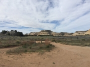
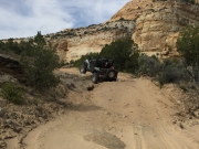
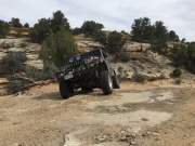
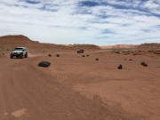
The trail turned away from the campsites and then it was a fun one. It looked like a Moab trail, with sandy spots mixed in with slickrock and little ledges. It was really scenic too, which was nice.

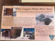
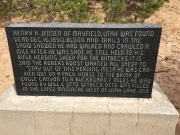
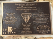
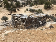
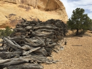
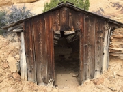
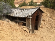
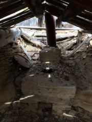
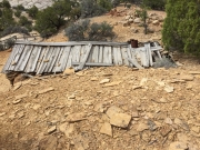
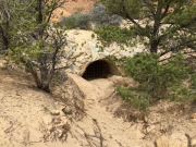
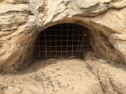
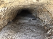
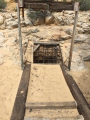
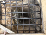
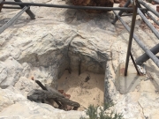
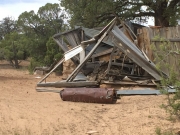
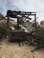
We soon found ourselves at Jensen's Grave, and we took some time to pay our respects. Then we were off to the Copper Globe Mine. We stayed there for a very long time because there was a lot to see. It was cool to see how well everything was preserved a hundred years later. We imagined that most people turned around and headed back to the trailhead, but we wanted to make the full loop so we kept going south.

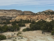
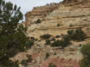
The trail was less developed from then on, and we enjoyed it. We turned to see the Lucky Strike Mine and wandered around on that spur for a bit. There is a lot of exploring to do in that area. When we got to the overlook, we were happy to see that we got right up to the edge and we had a big view of Reds Canyon below us. We could see where we were on the first day on Hidden Splendor, too, which was cool. It was really windy and not particularly warm, but it was lunch time so we all huddled in a small area blocked by some trees. Any lunch out in the wilderness is a good lunch.

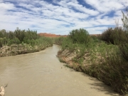
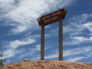
We eventually kept going along the trail and through the canyon, and then it suddenly turned into a maintained trail. Then we were cruising along pretty quickly. When we got to the intersection, we decided to go check out Lone Tree Crossing as a side trip. That was where kayakers could start the hike we did, if they wanted. The water was still moving really quickly. When we were done checking things out we headed back up to I-70. Sid and Charley was right across the highway, so we figured we'd finish with that. We weren't quite ready to be done.

IMG_1215-1
IMG_1215-3
IMG_1215-4
IMG_1215-5
IMG_1215-6
IMG_1215-7
IMG_1215-8
IMG_1216
IMG_1217
IMG_1218
IMG_1219
IMG_1220-1
IMG_1220
IMG_1221
IMG_1222
IMG_1223
IMG_1224
IMG_1225
IMG_1226
IMG_1227
IMG_1228
IMG_1229-1
IMG_1229-2
IMG_1229
IMG_1230
IMG_1231
IMG_1232
IMG_1233
IMG_1235
IMG_1236
IMG_1238
IMG_1239
IMG_1241
IMG_1242
PIMG_2DSC00258
PIMG_2DSC00259
Join Us!
If you aren’t a Member or Subscriber, you can’t see all of the content on this site. Get membership information to see why this site is best when you join and log in
Information for Subscribers

When you log in you’ll see more information here:

  • Recent Community Forum posts
  • Recent polls
  • Upcoming Events you can attend
  • Links to online users

© 2000-2022 · TrailDamage.com · Terms and Conditions · About · Contact
Trail information is only accurate on the date posted. Trails may have changed or closed since that date. Use this information for historical purposes only.
Contact the Forest Service or Bureau of Land Management for up-to-date trail information.

/* ----------------------------------------- */ /* View slug: reports-other-reports-for-same-trail-slider - start */ /* ----------------------------------------- */ /* place the prev/next controls on the sides */ .td-transition-controls .wpv-filter-next-link, .td-transition-controls .wpv-filter-previous-link { border: none; font-size: 300%; position: absolute; top: 70px; } .td-transition-controls .wpv-filter-previous-link { left: 0; } .td-transition-controls .wpv-filter-next-link { right: 0; } /* center the page selector horizonatally */ .td-transition-controls ul.wpv_pagination_dots { text-align: center; margin-top: 10px; } /* center the page selector horizonatally */ .td-transition-controls ul.wpv_pagination_dots li.wpv_pagination_dots_item, .td-transition-controls .wpv_pagination_dots li a { display: inline-block; float: none; } /* remove the default styles */ .td-transition-controls .wpv_pagination_dots li a { text-decoration: none; border-bottom: none; } .td-slider-container { padding: 0 25px; margin-bottom: 20px; position: relative; width:100%; display:table; } .td-slides { position: relative; } .td-slides-image { float:left; display:table-cell; } .td-slides-image img { border:1px solid #c0c0c0; } .td-slides-content { padding:4px 4px 4px 10px; border-top:1px solid #c0c0c0; border-right:1px solid #c0c0c0; border-bottom:1px solid #c0c0c0; display:table-cell; height:227px; overflow:hidden; } .td-slides-content h3 { margin-top:8px; } .td-slides-leader { font-size:smaller; margin-top:4px; } /* ----------------------------------------- */ /* View slug: reports-other-reports-for-same-trail-slider - end */ /* ----------------------------------------- */
/* ----------------------------------------- */ /* Content Template: Template for a Single Report - start */ /* ----------------------------------------- */ .entry-header { display:none; } .entry-content h1 { margin-top:16px; padding-top:0; } h1 a { color:#222; } h1 a:hover { color:#666; } p.entry-meta { font-size:small; } #report-body-spacer { clear:both; width:100%; height:20px; } #addtoany-bar { margin-bottom:2em; text-align:center; } .category-reports .post-info .author, .post-info .date { display: none; } .addthis_recommended_horizontal { text-align:center !important; } /* ----------------------------------------- */ /* Content Template: Template for a Single Report - end */ /* ----------------------------------------- */ /* ----------------------------------------- */ /* Content Template: Loop item in REPORTS Runners - start */ /* ----------------------------------------- */ #runners-container { width:100%; clear:both; } .runner { border:1px solid #c0c0c0; margin:0 6px 6px 0; float:left; width:49%; height:81px; } .runner-image { float: left; } .runner-image img { margin:2px 10px 0 2px; height:75px; width:75px; } .runner-name { text-transform:uppercase; } .runner-name a { color:#222; } .runner-name a:hover { color:#666; } .runner-vehicle { font-size:small; } @media only screen and (max-width: 768px) { .runner { width:100%; } } /* ----------------------------------------- */ /* Content Template: Loop item in REPORTS Runners - end */ /* ----------------------------------------- */