
TrailDamage.com

Photos, videos and information about 4x4 trails in Colorado and Utah

  • Trails
    • Colorado
    • Utah
  • Reports
    • Featured Photos
    • Reports Calendar
  • Members
  • Search
  • FAQ
  • Community
  • Upcoming Events
  • Membership
  • Log In
  • Facebook
  • Instagram
  • RSS
  • Twitter
  • YouTube
  • Trails
    • Colorado
    • Utah
  • Reports
    • Featured Photos
    • Reports Calendar
  • Members
  • Search
  • FAQ
  • Community
  • Upcoming Events
  • Membership
  • Log In

Coffee Pot Road 150814

August 14, 2015 by Monica

Coffee Pot Road

Trail Run on August 14, 2015
Report and photos by Monica I., Trail Leader
View trail information for Coffee Pot Road

Walt S.
Gray 2022 Jeep Wrangler Unlimited Rubicon 392
Matt K.
White 2016 Jeep Wrangler Unlimited Rubicon
Monica I.
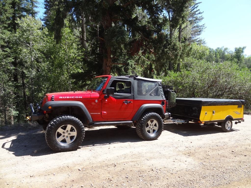
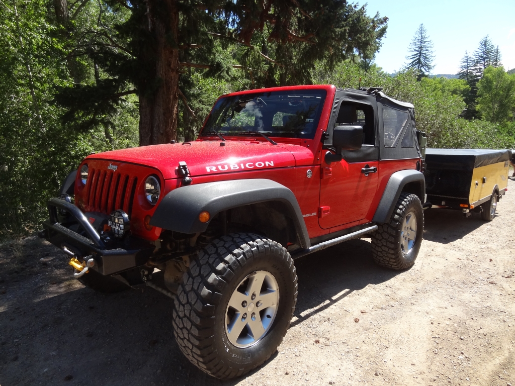
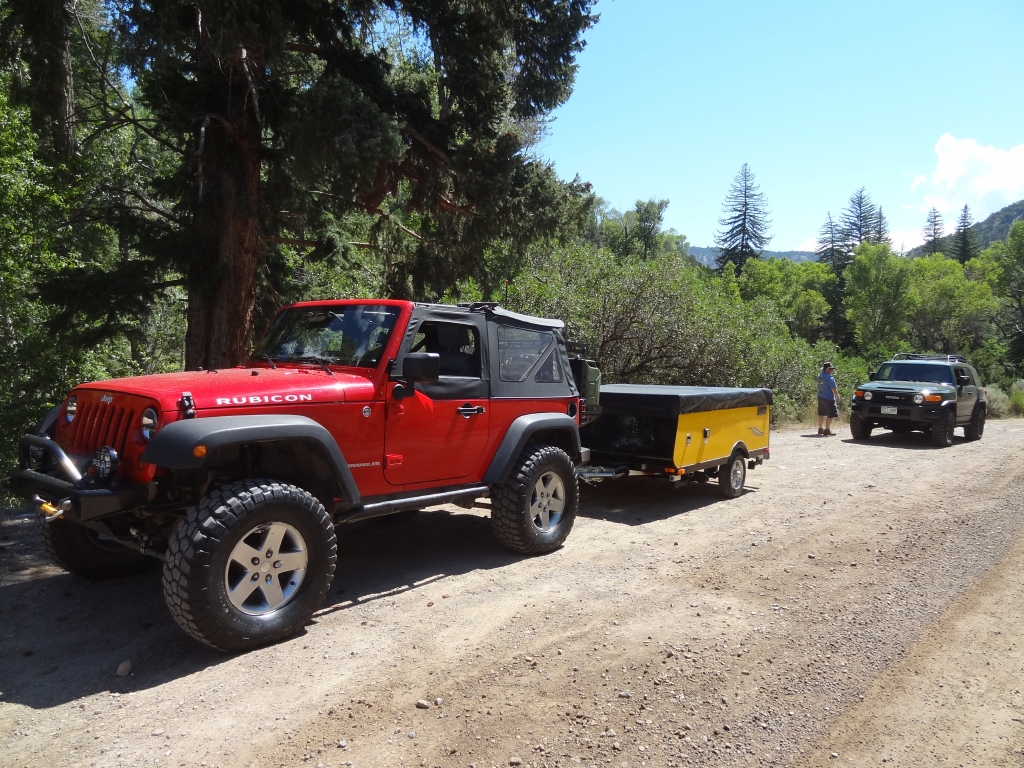
Red 2010 Jeep Wrangler Rubicon
Julie M.
Green 2012 Jeep Wrangler Unlimited Rubicon

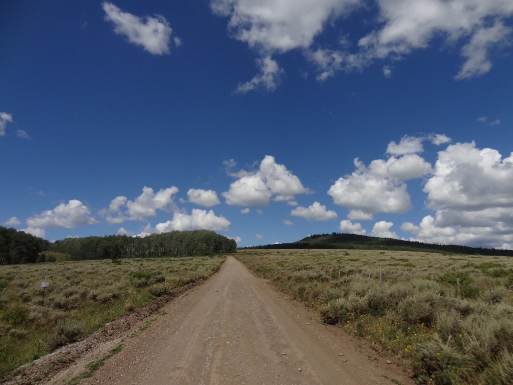
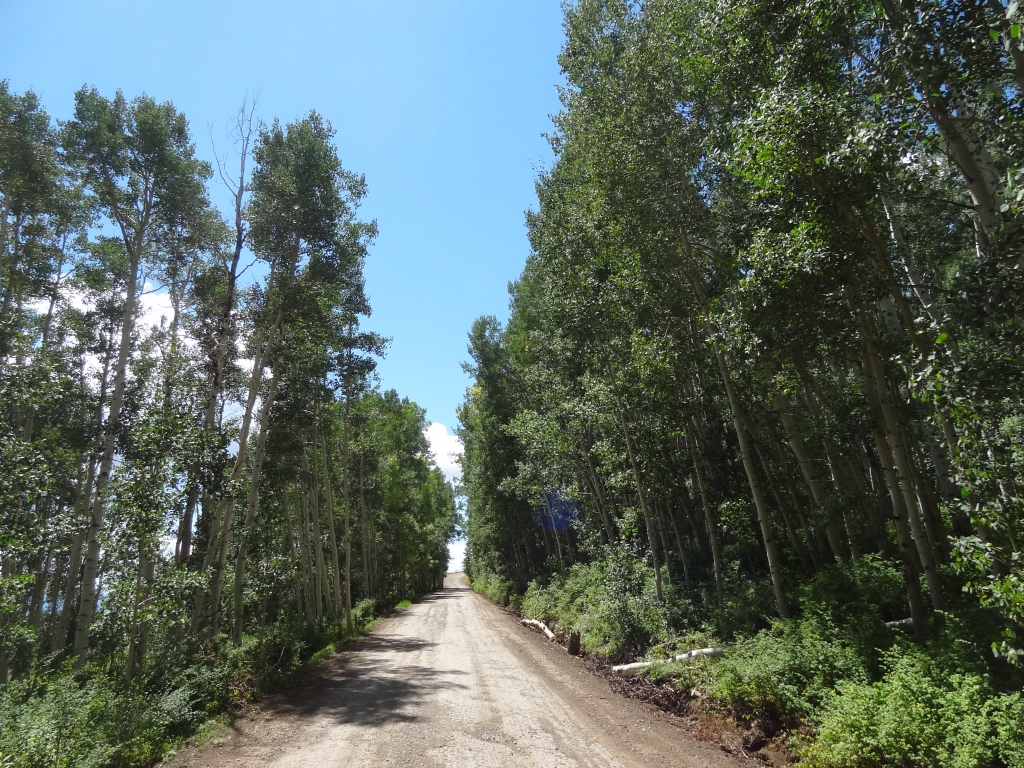
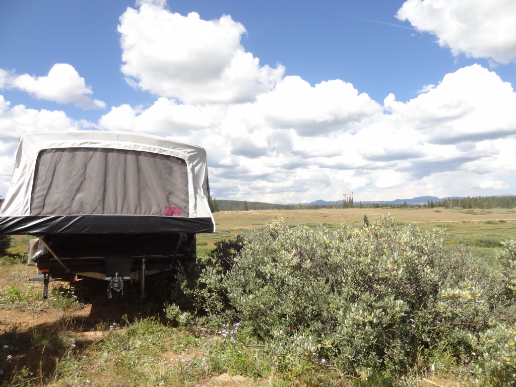
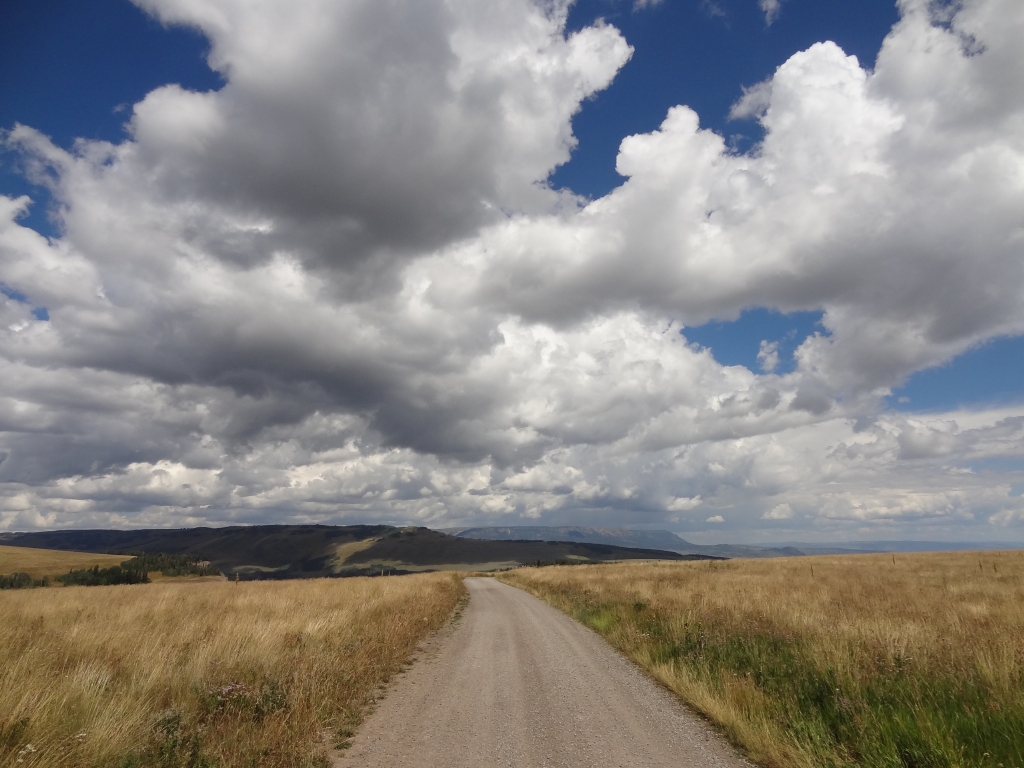
We had a camping weekend planned with some trails on the Flat Tops, and it was Monica's first weekend with her new pop-up trailer. Matt knew how to tow a trailer and how to camp with a camper, so he would be a ton of help. Walt was joining us but spending the night in a hotel in Eagle. Julie would be joining us later. We headed up I-70 and it wasn't long before we were in Dotsero, realized there is no gas station there, and doubling back to Gypsum to fill up before heading up into the hills.

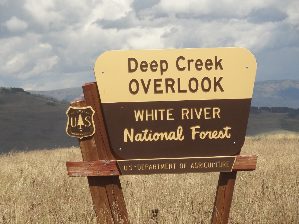
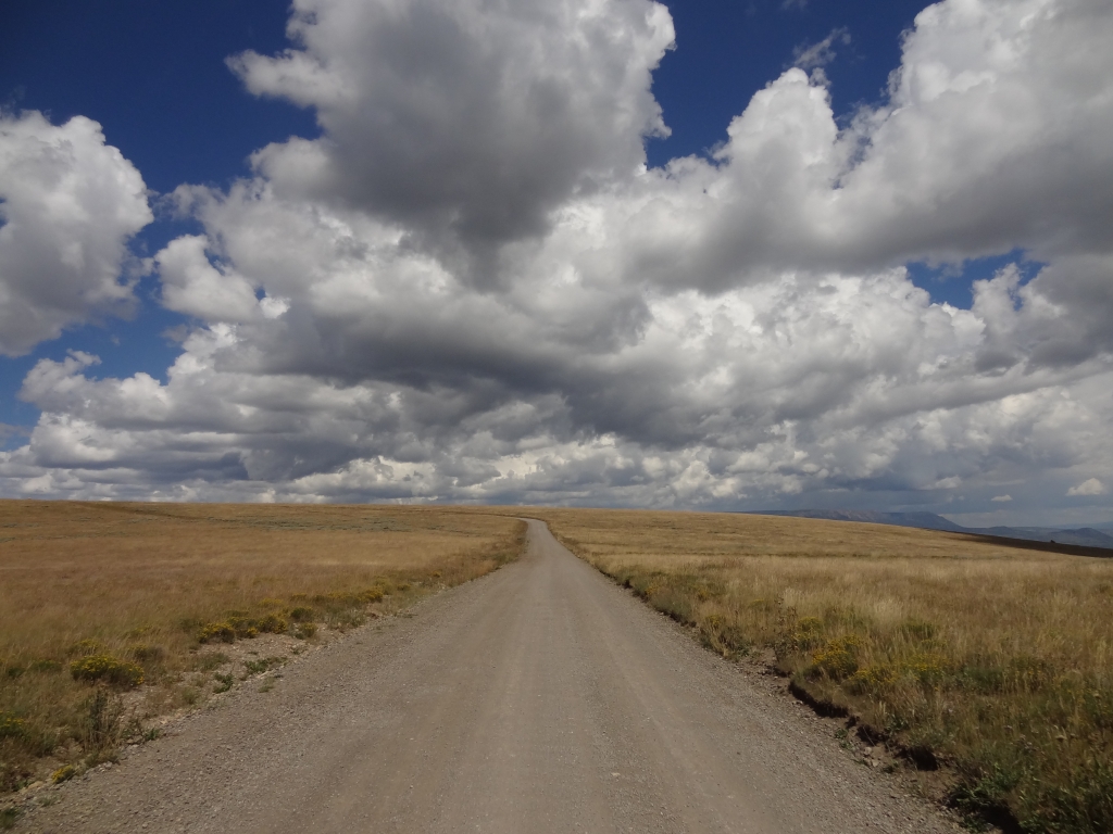
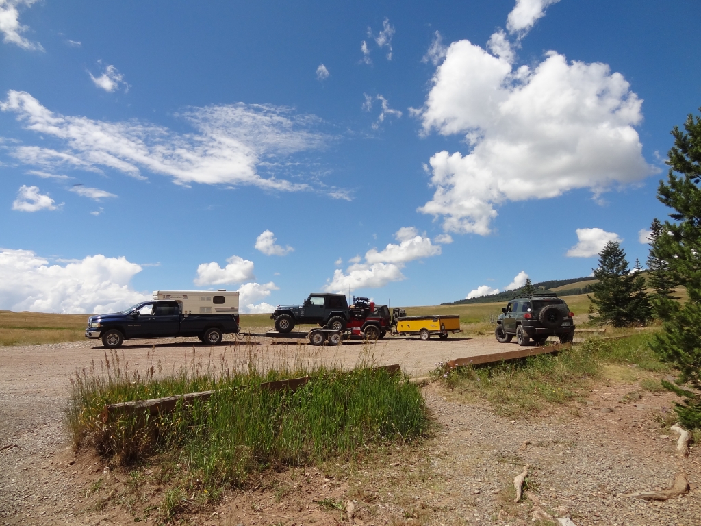
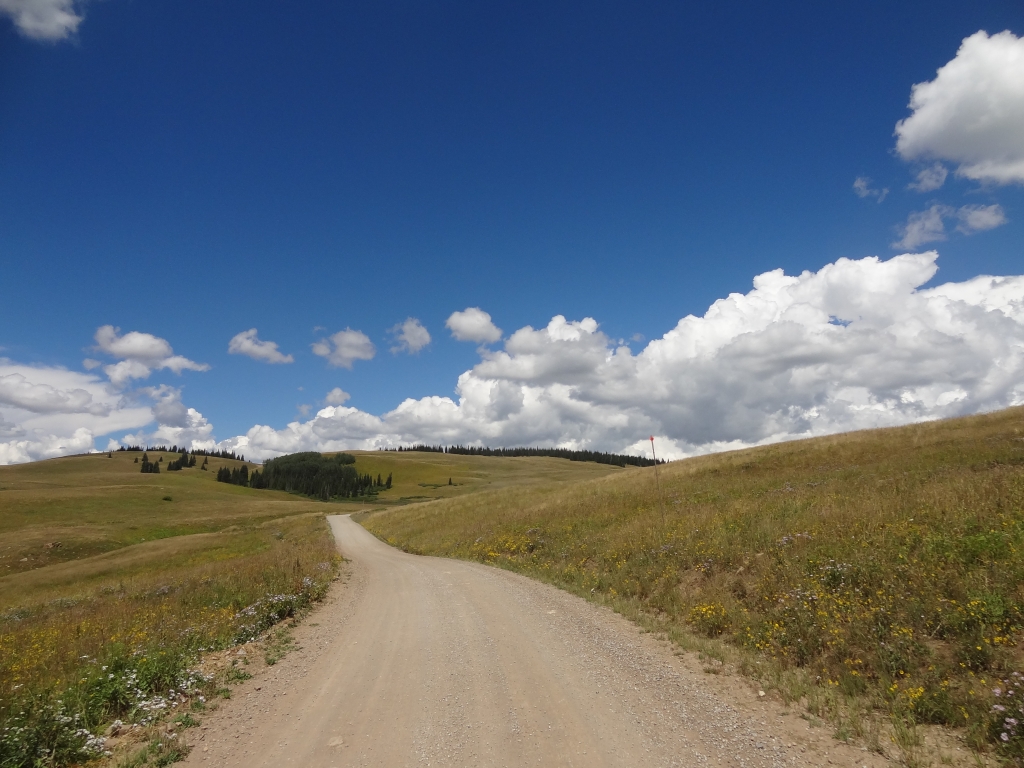
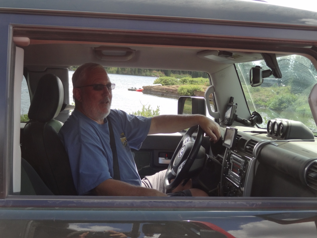
The weather was perfect. It didn't take long to get on the trail, and then Monica and Walt wanted to air down. Matt wasn't airing down his truck and his Jeep was on a trailer, so he kept going. He wanted to take it slow, and he'd meet us at the Deep Creek Overlook.

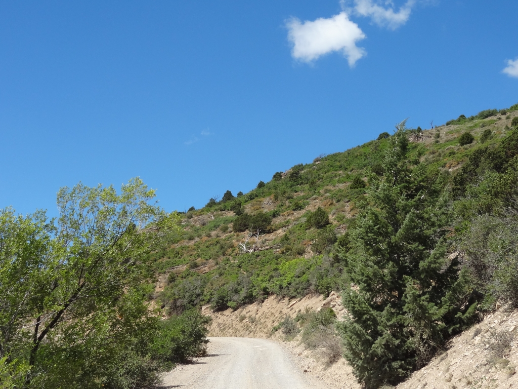
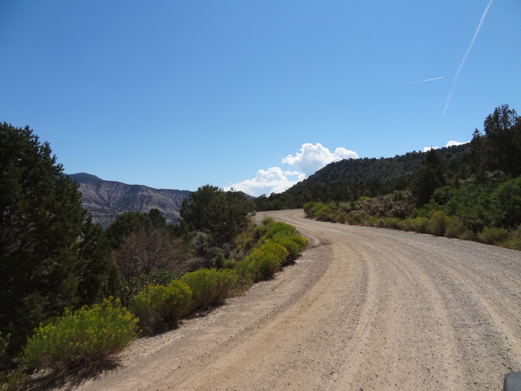
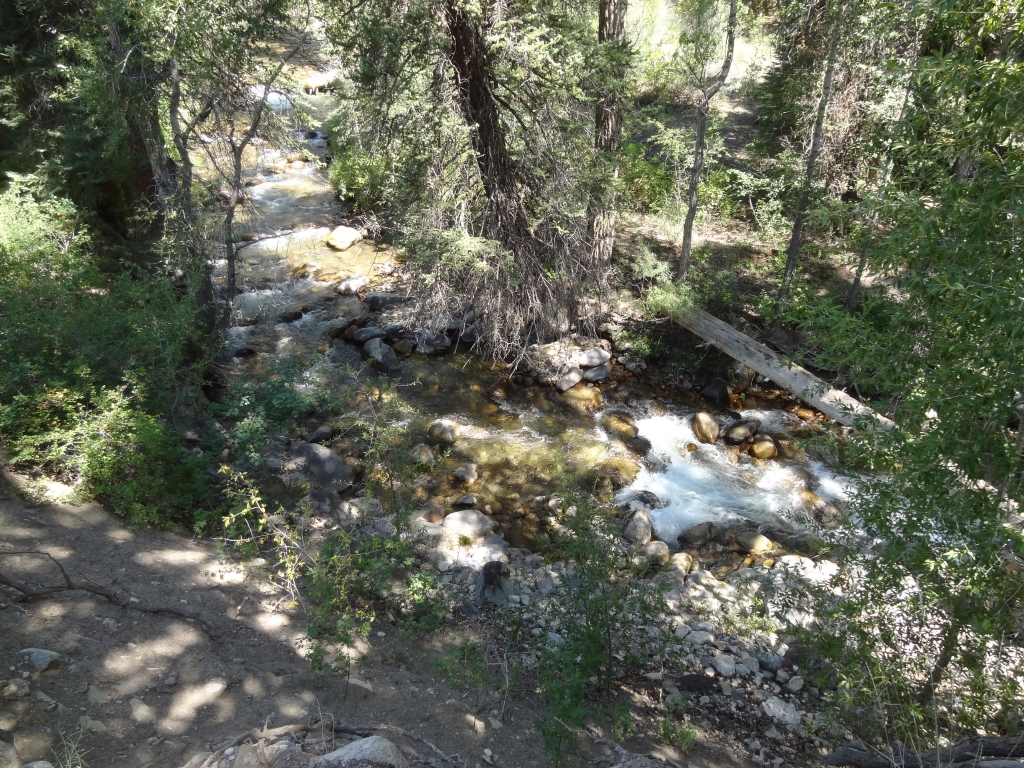
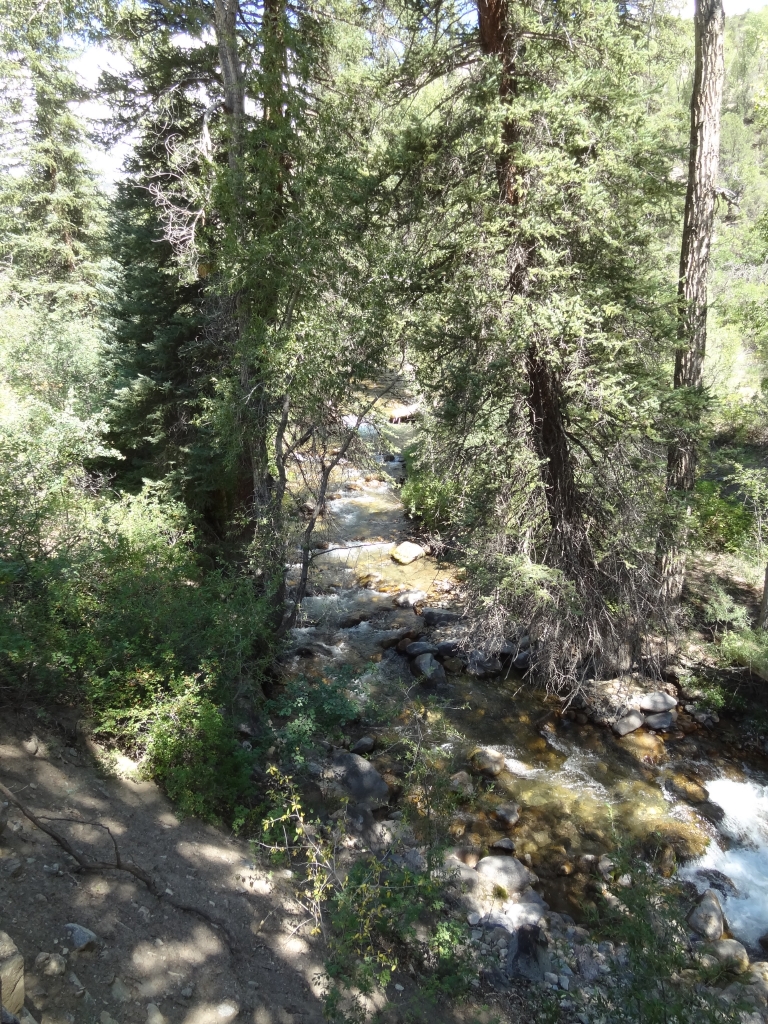
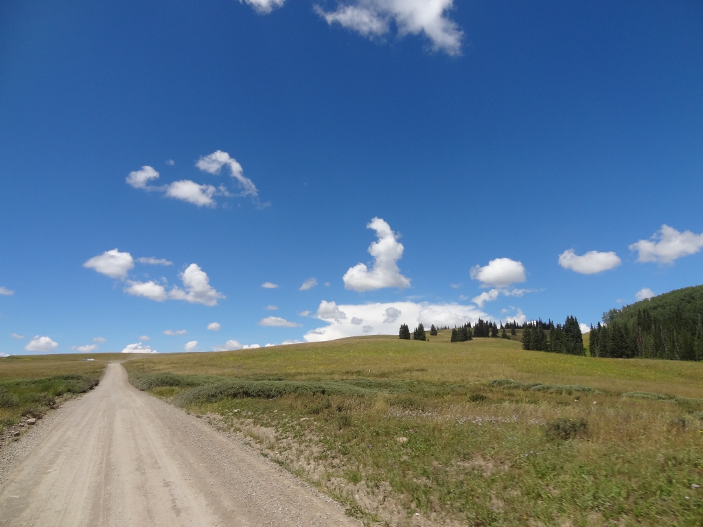
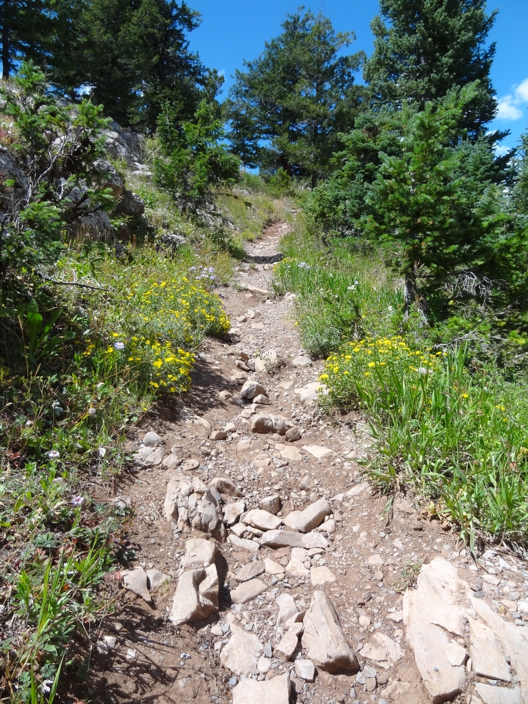
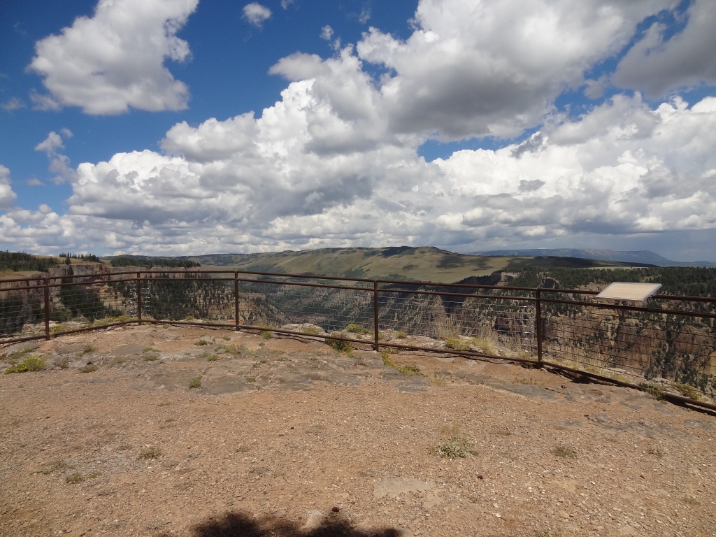
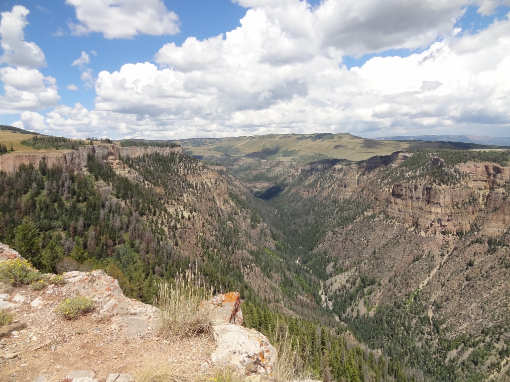
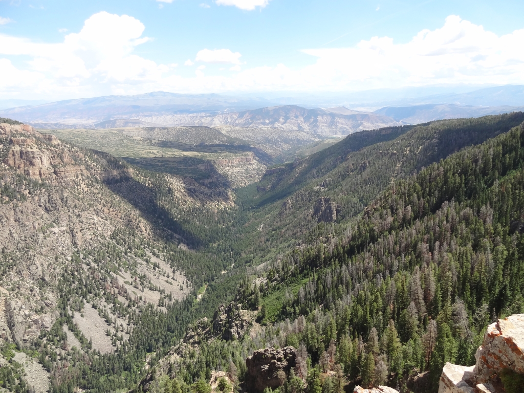
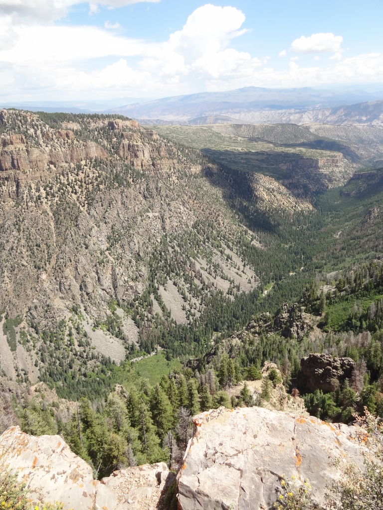
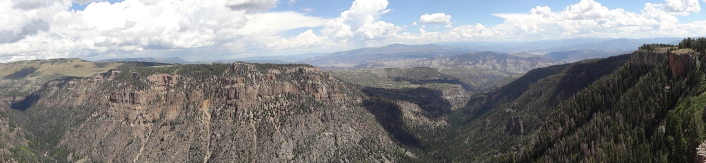
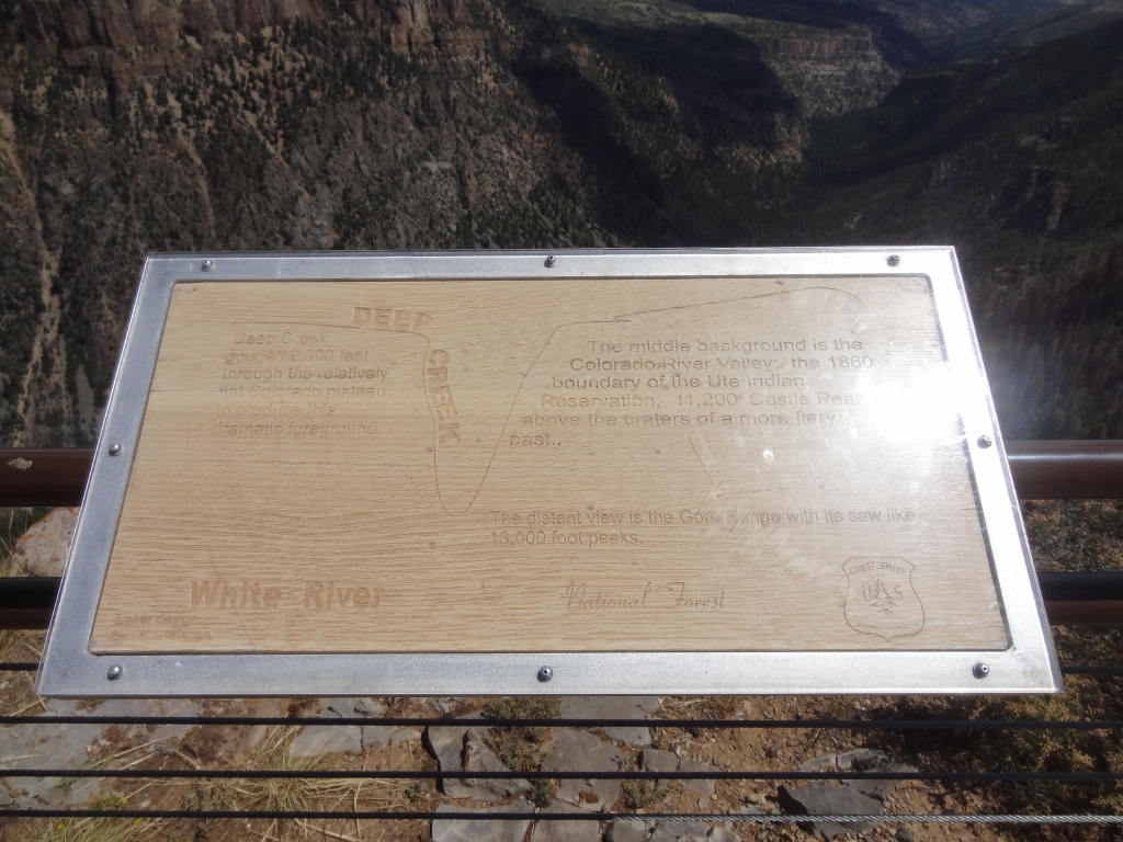
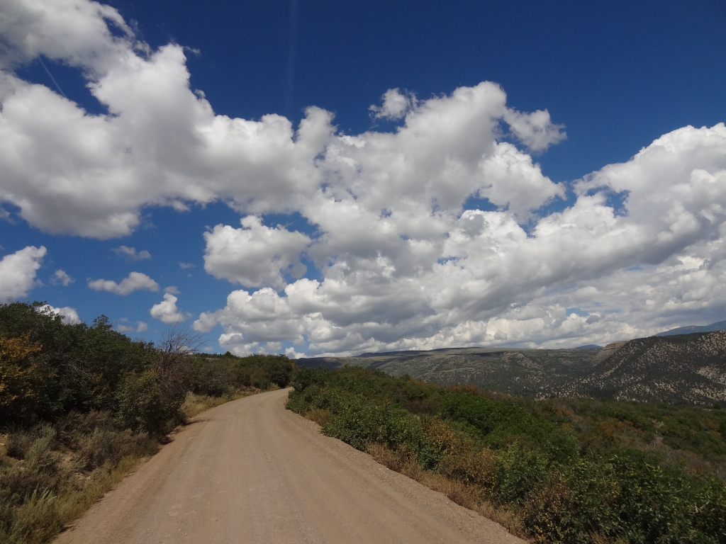
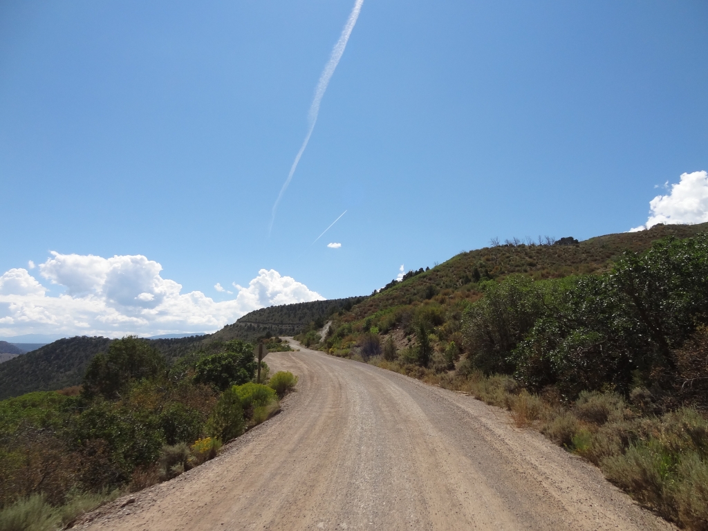
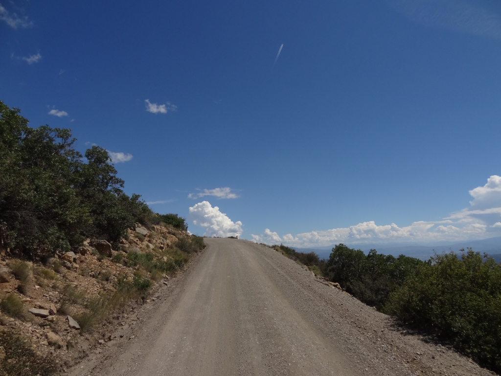
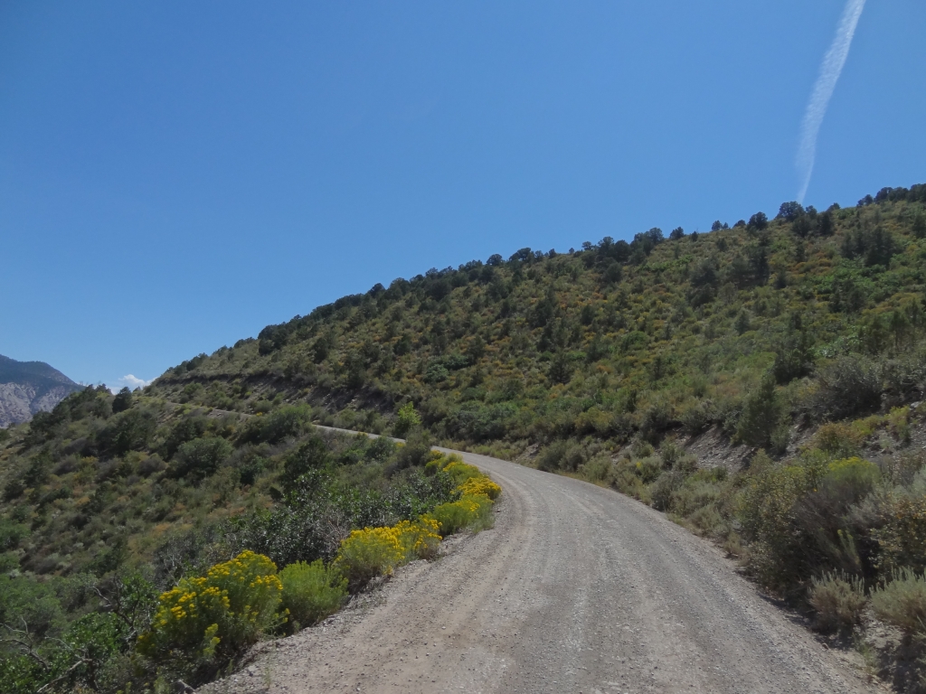
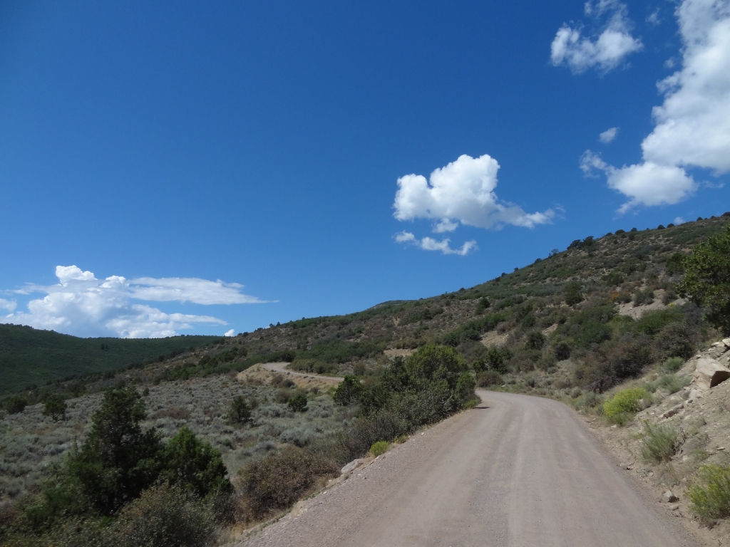
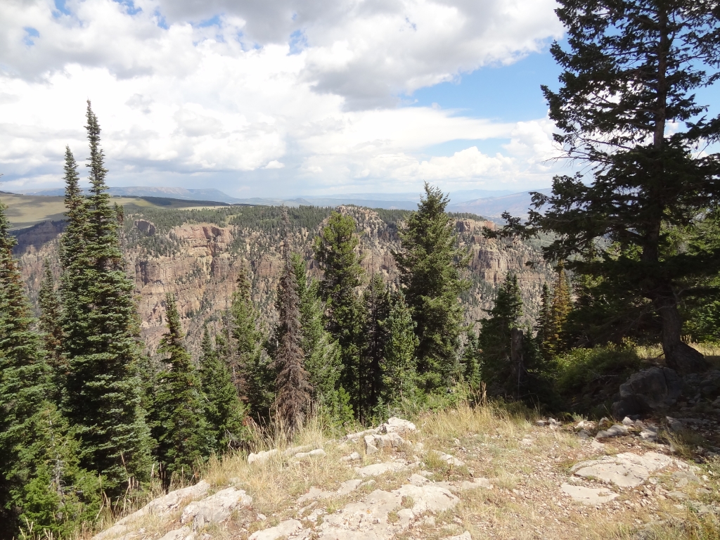
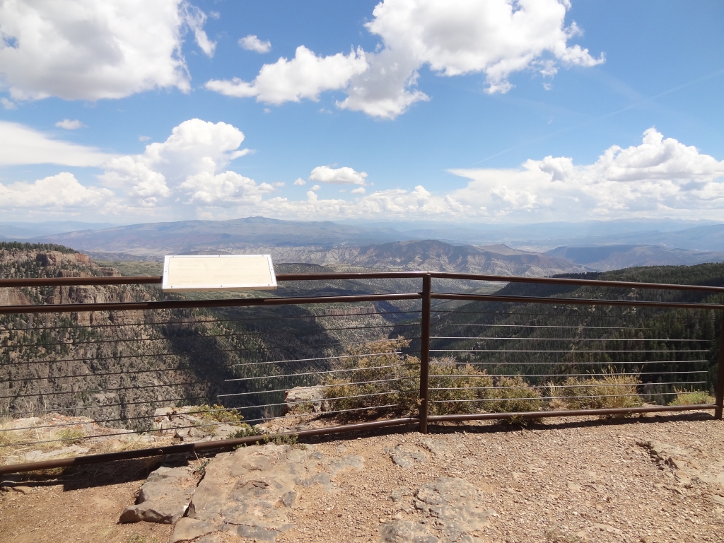
We followed Deep Creek at first, and then turned away from it as the switchbacks started. There are a bunch of them, but the road was dry and the trip was an easy one. When we got to the overlook, we pulled in and we were happy to see Matt waiting for us.

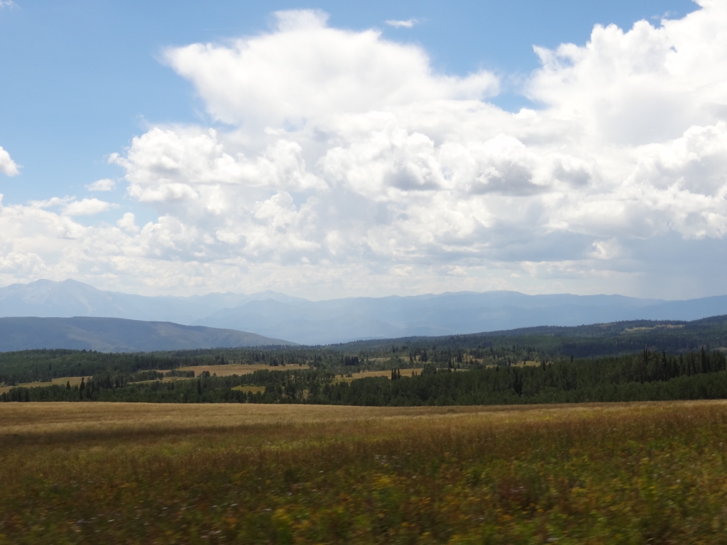
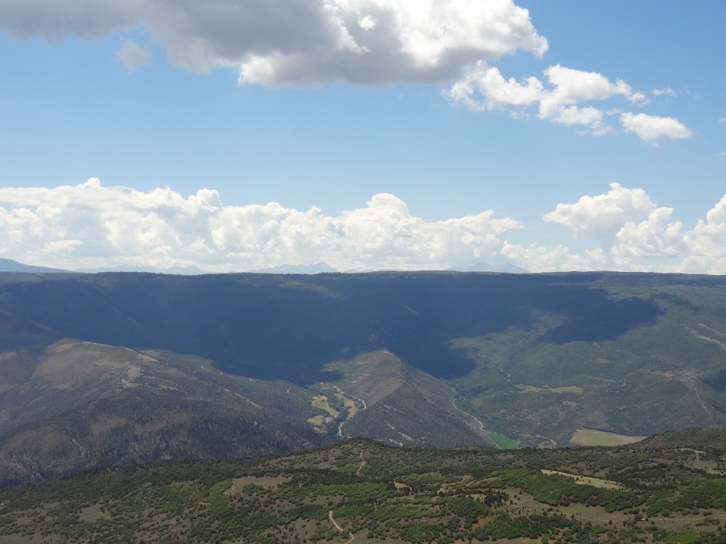
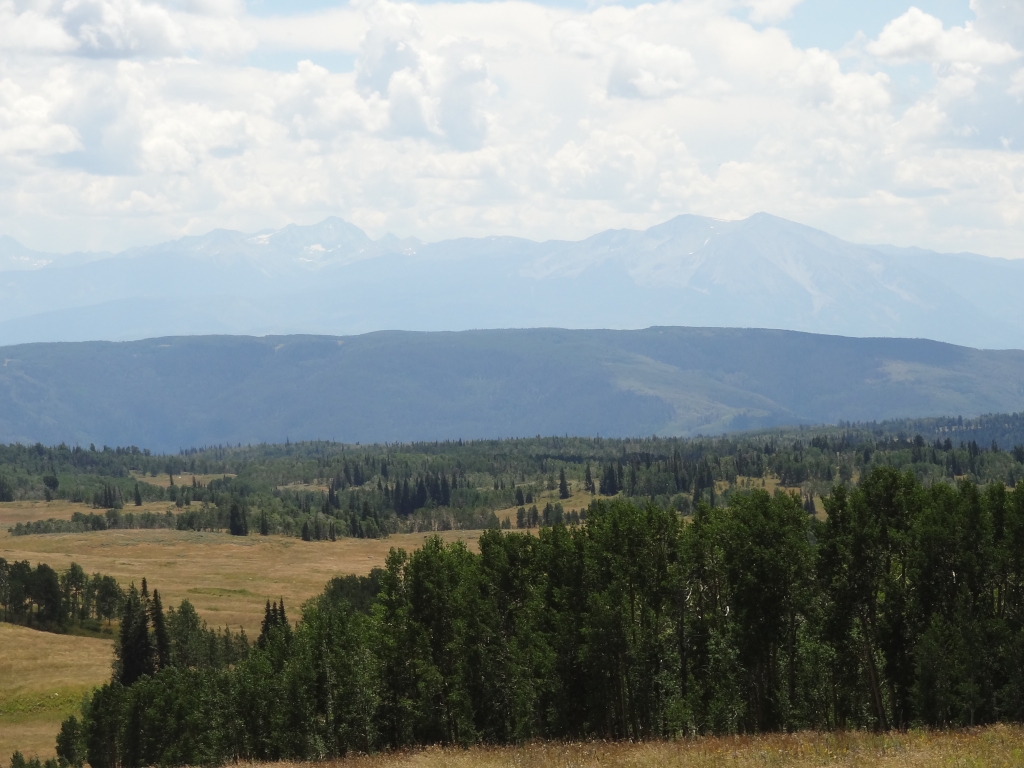
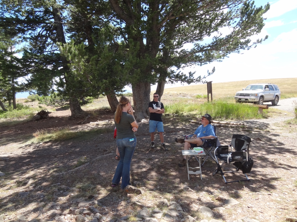
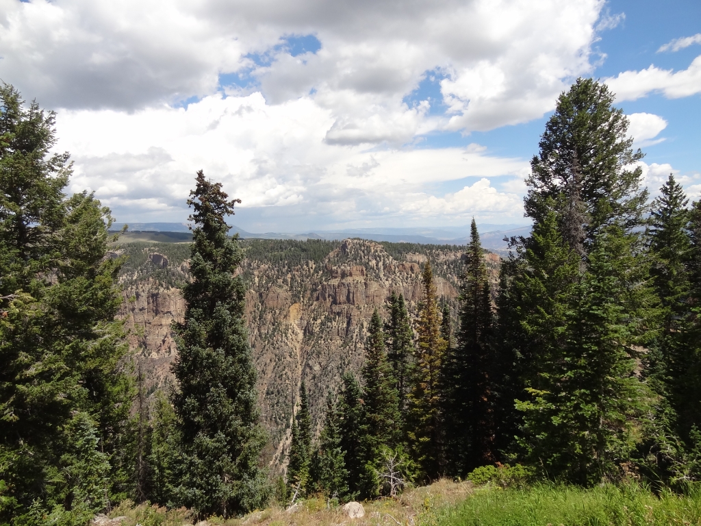
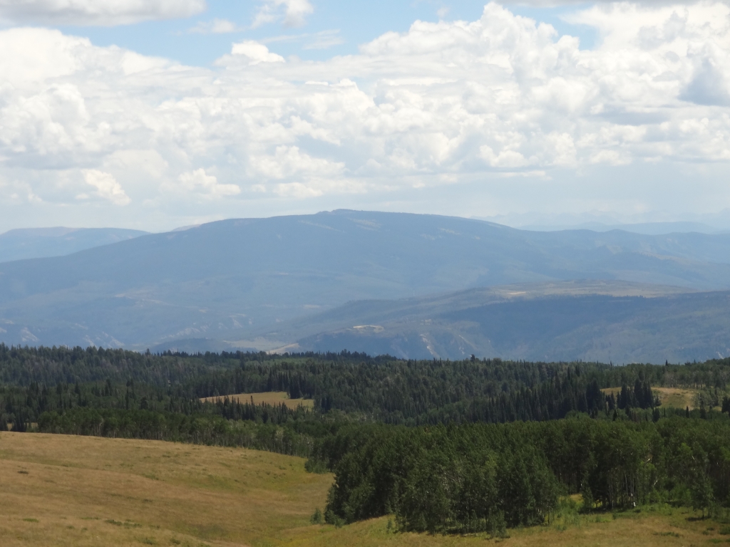
We were there a while, having lunch and enjoying the perfect temperatures in the shade. A few other people came and went, and we wandered around just checking out the views from all of the vantage points. It's a really cool area.

We had a list of campgrounds we'd like to stay at, in order, and Supply Basin was at the top of the list. It was small enough but not too small for our group, and very centrally located. We wanted to get there before it was full, so we kept going. It was easy to find with GPS coordinates, though there were no signs. Websites say it has a pit toilet, picnic tables, and fire rings but it has none of that. It was a primitive site.

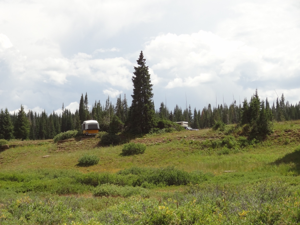
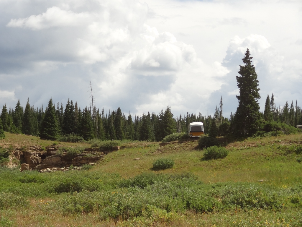
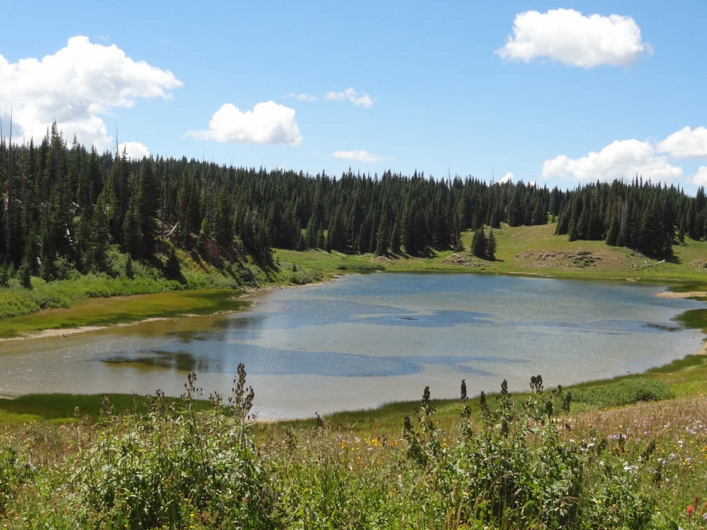
We got lucky, and found a group site at the end of the road that was perfect. Monica acted like a newbie camper and drove her pop-up all over the place before deciding on a spot. Matt was ready long before she was, and Walt was patient as she set things up. As soon as we were ready, we headed off to White Owl Lake. We hoped that Julie would catch up with us, but we spent the majority of the day without seeing her. It was the perfect site for the perfect weekend, it seemed.
airing_down
around_a_bend
aspen_grove
between_trees
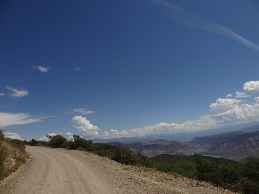
big_view
bigger_trees
blue_sky
brush
climbing
cloud_shadow
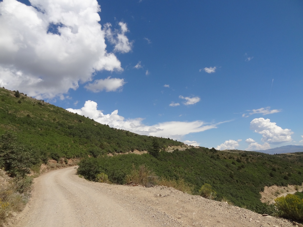
curve
deep_creek_overlook_sign
deep_creek_part_1
deep_creek_part_2
distant_mountains
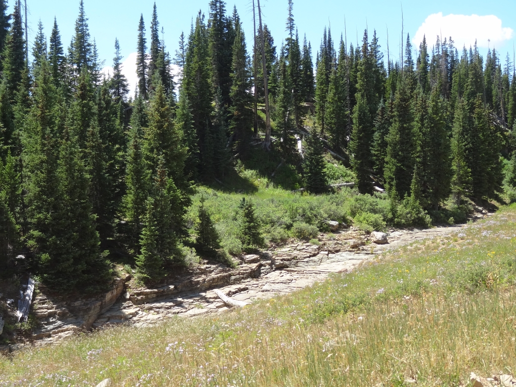
dry_creek_bed
flat_tops
forest_service_rules
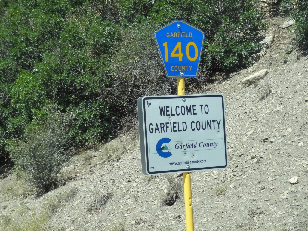
garfield_county_sign
green
i-70_below
into_the_clouds
layers
looks_like_autumn
lunch_at_the_overlook
matt_ready_to_go
meadow
mellow
monica_and_matt
monica_and_trailer_part_1
monica_and_trailer_part_2
monica_camp
monica_view
open
overlook_hike_part_1
overlook_hike_part_2
overlook_part_1
overlook_part_2
overlook_part_4
overlook_part_5
overlook_part_6
overlook_part_7
overlook_part_8
overlook_part_9
overlook_sign
parked_at_the_overlook
patches_of_trees
pond
puffy_clouds
rolling_hills
see_for_miles
start_of_the_trail
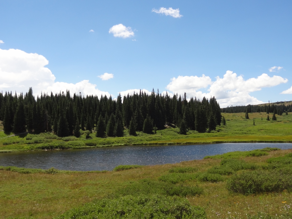
supply_basin_campground_lake
to_the_overlook
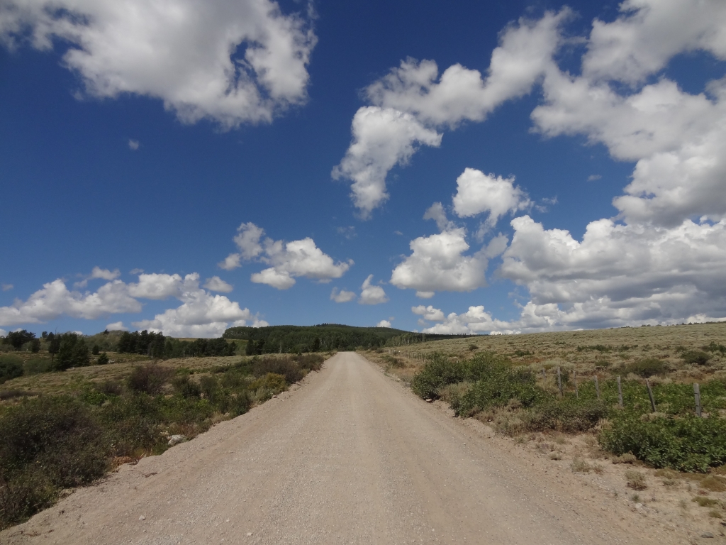
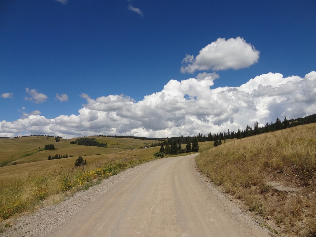
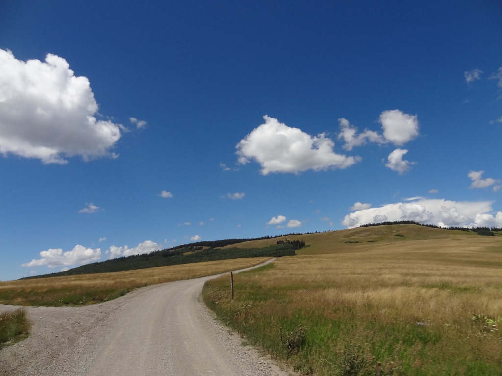
trail_ahead
trail_to_the_sky
up_and_around
walt_ready_to_go
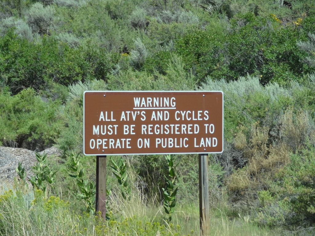
warning_sign
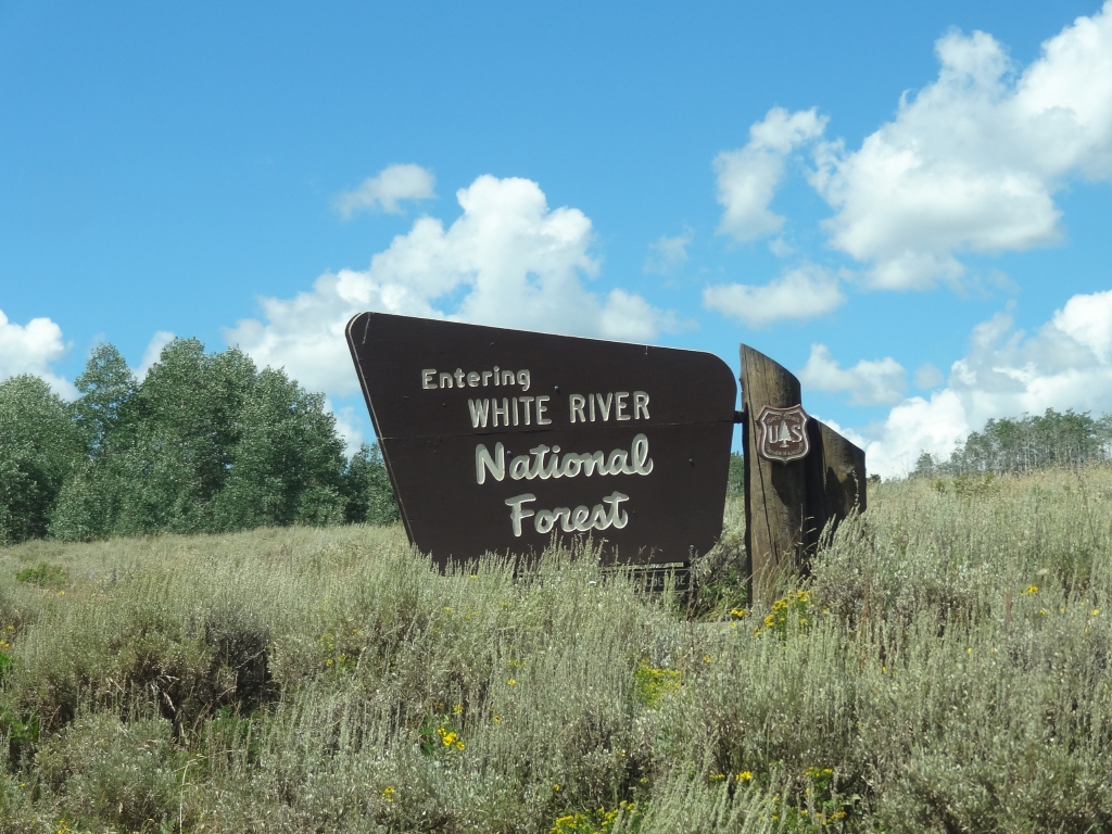
white_river_national_forest_sign
windows_background

Report from a Different Day

July 21, 2007

Led by Monica I.
We weren’t expecting much from this trail other than a dirt road we would use to get to other trails….
Join Us!
If you aren’t a Member or Subscriber, you can’t see all of the content on this site. Get membership information to see why this site is best when you join and log in

Information for Subscribers

When you log in you’ll see more information here:

  • Recent Community Forum posts
  • Recent polls
  • Upcoming Events you can attend
  • Links to online users

© 2000-2026 · TrailDamage.com · Terms and Conditions · About · Contact
Trail information is only accurate on the date posted. Trails may have changed or closed since that date. Use this information for historical purposes only.
Contact the Forest Service or Bureau of Land Management for up-to-date trail information.