TrailDamage.com

Photos, videos and information about 4x4 trails in Colorado and Utah

  • Trails
    • Colorado
    • Utah
  • Reports
    • Featured Photos
    • Featured Videos
    • Reports Calendar
  • Members
  • Search
  • Trail Damage Winners
  • FAQ
  • Community
  • Upcoming Events
  • Membership
  • Log In
  • Facebook
  • Instagram
  • RSS
  • Twitter
  • YouTube

Cloverdale Mine 110828

August 28, 2011 by Monica

Cloverdale Mine

Trail Run on August 28, 2011
Report and photos by Monica I., Trail Leader
View trail information for Cloverdale Mine

Monica I.
Red 2010 Jeep Wrangler Rubicon
Bill S.
Yellow 2020 Jeep Wrangler Rubicon
Mike S.
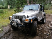
Silver 2004 Jeep Wrangler Rubicon
Walt S.
Gray 2022 Jeep Wrangler Unlimited Rubicon 392

One of our favorite things to do is to check out a new trail and find a new favorite. That happened with Cloverdale Mine, a great trail from start to finish.

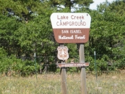
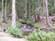
We rode through the Lake Creek Campground to check it out and it was really nice. There was running creek water on one side and each camp spot was surrounded by trees. It was shady and very nice. It would be a good place to camp.

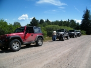
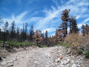
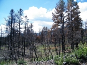
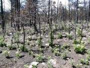
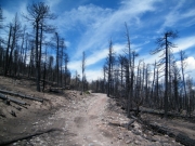
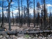
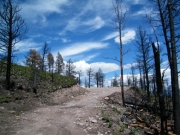
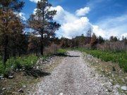
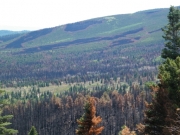
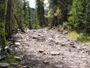
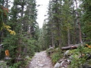
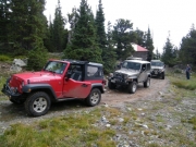
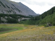
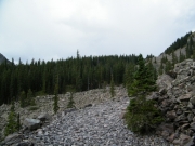
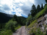
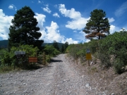
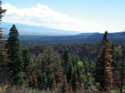
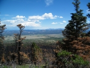
We aired down at a wide spot in the road just before the trailhead. It was good to air down because the trail was very bumpy. We could see the results of the Duckett Fire as we were driving to the trail and soon we were right in it. It was very black in large spots surrounded by brown, dead trees. There were small patches of green trees between the burned areas. It was a little weird but definitely interesting.

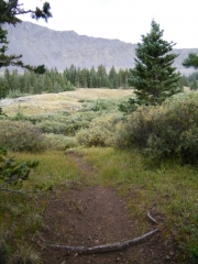
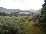
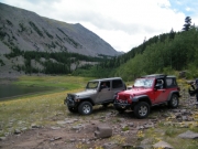
We worked our way up and it wasn't long before we were out of the burned area. It didn't hit the rest of the trail, only the beginning section. We drove by Balman Reservoir on the way up, hoping to get to Rainbow Lake for lunch.

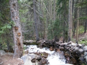
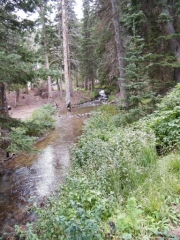
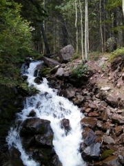
One of the main topics of conversation was how water was diverted here and there. We could see pipes in places. The creek was running very strong in some places but then not in others.

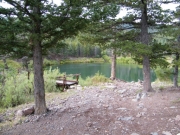
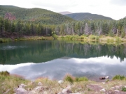
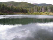
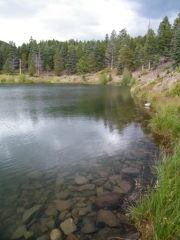
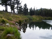
When we got to Rainbow Lake we drove as far as we could into the camp site. No one was camping, but there was someone fishing on the far side of the lake. We could barely see him because he was so far away. It really was the perfect spot for lunch.

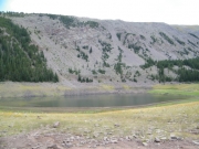
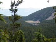
We could see that the lake had been many different levels. It was very low in water. A small trickle of water drained into it but we couldn't see how any water drained out of it. It was very mysterious and we talked about it at length.

We really didn't want to leave the lake but we were on our way home and we still had the rest of the trail to do. We packed up and headed out.

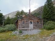
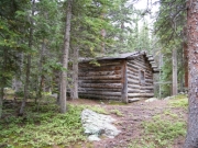
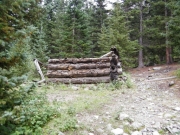
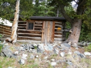
At one point the trail turned while it went a completely different way on the maps. We went by an old cabin and then up switchbacks to connect with the trail found on maps and on our GPS units. It was odd because it didn't seem possible for the trail to ever have been where the maps said it was. The switchbacks were very narrow in places. It could easily fall to a mud slide.

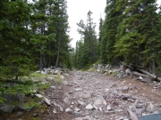
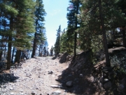
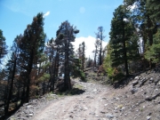
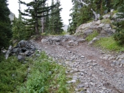
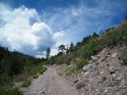
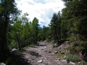
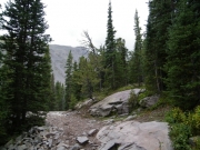
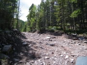
The rocks between the cabin and the mining camp were the best ones. There were some obstacles here and there but nothing major. We had a fairly mellow weekend, though, so anything was good.

The mining camp was definitely a surprise. In the middle of the mountains we found cabins in good condition along with an old Dodge van. Nothing much was left of the van but it still had air in its tires. It seemed to be a way to camp up there. We even saw a bullet hole that looked like it came from someone at the mine all the way across the valley.

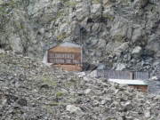
We could see the mine from the mining camp even though it was pretty far away. You could even read "Cloverdale Flotation Ore Mill" on the side of the mine in huge letters. We hung out at the camp for a little bit but then pushed on. This would be a great place for lunch.

Mike is a good weatherman and he decided to put his windows in. We all followed his lead and got ready for possible rain. The clouds were definitely hanging over where we were going.

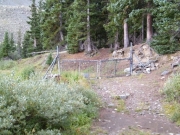
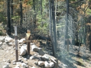
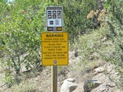
When we got to the "Y" in the trail where one side went to the mine itself we found it gated. That wasn't a surprise so we just stayed on the main trail. It didn't go much farther. We ended up at the turn-around at the end and we got out to check things out.

We weren't out of our vehicles for long. Soon it started really pouring. We didn't stick around.

The rain kept with us for most of the way down the trail. We outran it for a little bit, though, just long enough to enjoy the spur to the Balman Reservoir without any rain at all. It was really nice.

We got back to our wide spot in the road to air up and it wasn't long before the rain caught up with us again. It rained steadily as we aired up and got ready for our trip back to Denver. It continued raining all the way back until we got into south Denver and then it stopped. North Denver barely saw any rain at all.

We had some crazy weather but in the end it was a very relaxing and nice three-day weekend. We'll definitely do the Cloverdale Mine trail again.

airing_down
balman_reservoir_part_1
balman_reservoir_part_2
balman_reservoir_part_3
balman_reservoir_part_4
balman_reservoir_part_5
balman_reservoir_part_6
bill_on_the_trail
bumpy_in_the_burn_area
burn_area_part_1
burn_area_part_2
burn_area_part_3
burn_area_part_4
burn_area_part_5
chunky
climbing
cloverdale_mine_gate
cloverdale_mine
curve
dead_trees
duckett_fire_part_1
duckett_fire_part_2
fast_water
fun_stuff
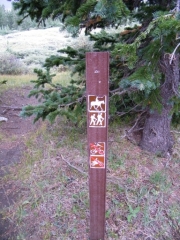
hike_sign_at_the_end
jeeps_on_scree
lake_creek_campground
little_obstacle
loose_climb
lunch
mike_on_the_trail
mining_camp_part_1
mining_camp_part_2
mining_camp_part_3
mining_camp_part_4
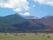
mountain_view
narrow_shelf
narrow
north_lake_creek_part_1
north_lake_creek_part_2
old_cabin_1
old_cabin_2
parked_at_cabin_town
patchy
rainbow_lake_part_1
rainbow_lake_part_2
rainbow_lake_part_3
rainbow_trail
rocky
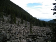
scree
see_for_miles
shelf
short_trees
sign_at_cabin_town
sign_at_the_end_1
sign_at_the_end_2
sign_at_the_end_3
silver_lake_hike
small_rocks
start_of_the_trail
taller_trees
through_green
tippy_rock
trailhead_sign
trailhead
trees_in_all_colors
valley_view
very_loose
view_at_the_end
walt_and_monica
waterfall
Join Us!
If you aren’t a Member or Subscriber, you can’t see all of the content on this site. Get membership information to see why this site is best when you join and log in

Information for Subscribers

When you log in you’ll see more information here:

  • Recent Community Forum posts
  • Recent polls
  • Upcoming Events you can attend
  • Links to online users

© 2000-2023 · TrailDamage.com · Terms and Conditions · About · Contact
Trail information is only accurate on the date posted. Trails may have changed or closed since that date. Use this information for historical purposes only.
Contact the Forest Service or Bureau of Land Management for up-to-date trail information.
/* ----------------------------------------- */ /* View slug: reports-other-reports-for-same-trail-slider - start */ /* ----------------------------------------- */ /* place the prev/next controls on the sides */ .td-transition-controls .wpv-filter-next-link, .td-transition-controls .wpv-filter-previous-link { border: none; font-size: 300%; position: absolute; top: 70px; } .td-transition-controls .wpv-filter-previous-link { left: 0; } .td-transition-controls .wpv-filter-next-link { right: 0; } /* center the page selector horizonatally */ .td-transition-controls ul.wpv_pagination_dots { text-align: center; margin-top: 10px; } /* center the page selector horizonatally */ .td-transition-controls ul.wpv_pagination_dots li.wpv_pagination_dots_item, .td-transition-controls .wpv_pagination_dots li a { display: inline-block; float: none; } /* remove the default styles */ .td-transition-controls .wpv_pagination_dots li a { text-decoration: none; border-bottom: none; } .td-slider-container { padding: 0 25px; margin-bottom: 20px; position: relative; width:100%; display:table; } .td-slides { position: relative; } .td-slides-image { float:left; display:table-cell; } .td-slides-image img { border:1px solid #c0c0c0; } .td-slides-content { padding:4px 4px 4px 10px; border-top:1px solid #c0c0c0; border-right:1px solid #c0c0c0; border-bottom:1px solid #c0c0c0; display:table-cell; height:227px; overflow:hidden; } .td-slides-content h3 { margin-top:8px; } .td-slides-leader { font-size:smaller; margin-top:4px; } /* ----------------------------------------- */ /* View slug: reports-other-reports-for-same-trail-slider - end */ /* ----------------------------------------- */
/* ----------------------------------------- */ /* Content Template: Template for a Single Report - start */ /* ----------------------------------------- */ .entry-header { display:none; } .entry-content h1 { margin-top:16px; padding-top:0; } h1 a { color:#222; } h1 a:hover { color:#666; } p.entry-meta { font-size:small; } #report-body-spacer { clear:both; width:100%; height:20px; } #addtoany-bar { margin-bottom:2em; text-align:center; } .category-reports .post-info .author, .post-info .date { display: none; } .addthis_recommended_horizontal { text-align:center !important; } /* ----------------------------------------- */ /* Content Template: Template for a Single Report - end */ /* ----------------------------------------- */ /* ----------------------------------------- */ /* Content Template: Loop item in REPORTS Runners - start */ /* ----------------------------------------- */ #runners-container { width:100%; clear:both; } .runner { border:1px solid #c0c0c0; margin:0 6px 6px 0; float:left; width:49%; height:81px; } .runner-image { float: left; } .runner-image img { margin:2px 10px 0 2px; height:75px; width:75px; } .runner-name { text-transform:uppercase; } .runner-name a { color:#222; } .runner-name a:hover { color:#666; } .runner-vehicle { font-size:small; } @media only screen and (max-width: 768px) { .runner { width:100%; } } /* ----------------------------------------- */ /* Content Template: Loop item in REPORTS Runners - end */ /* ----------------------------------------- */