Camway Trail


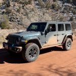
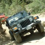
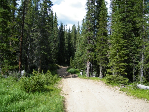
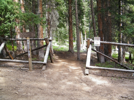
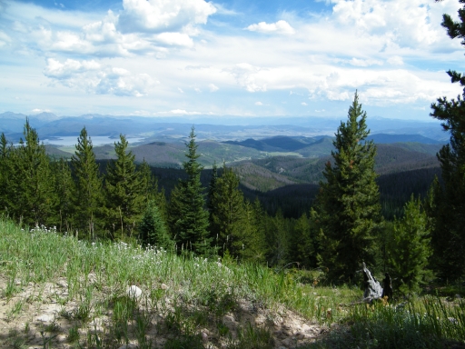
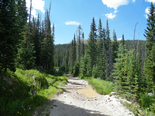
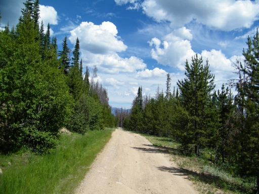
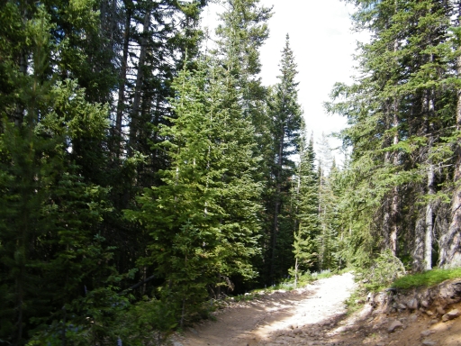
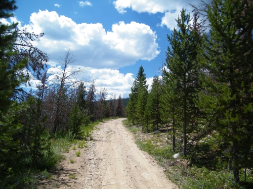
We had a great time on North Supply Creek and we took Kawuneeche Road to Stillwater Pass. We all ran the very beginning of Stillwater Pass and we found the trailhead to Camway Trail. We knew that we needed to make some sense of the network of trails, so we tackled it head on.
We didn't know that there was a more difficult and fun trailhead just a few yards up Stillwater Pass, so we ended up doing the whole trail in the "backwards" and less fun way. But we still had a good time.
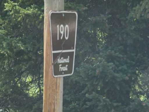
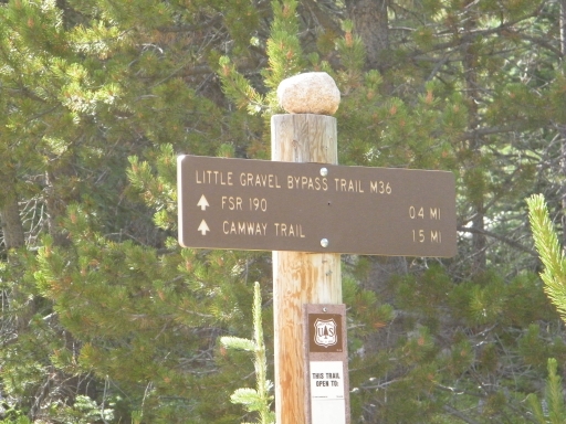
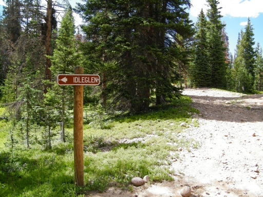
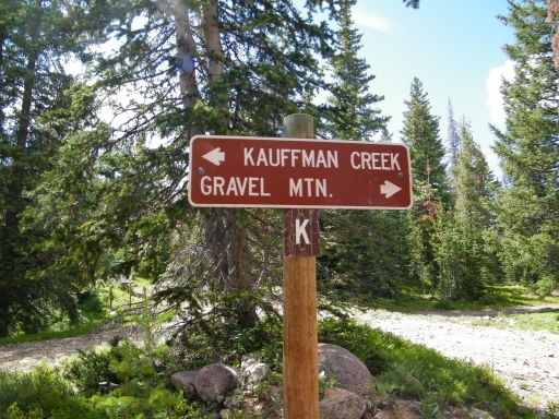
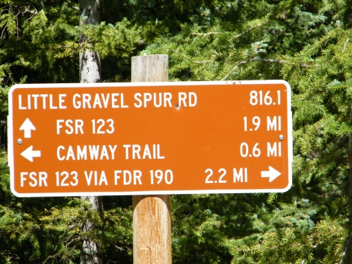
We passed the first spur sign for Camway Trail and someone read it as 15 miles long. What?! That didn't seem right. We decided to come back to it, and in the meantime we realized that it probably said 1.5 miles instead. We would then keep noticing that the hiking trail signs were not displaying decimal points very well.
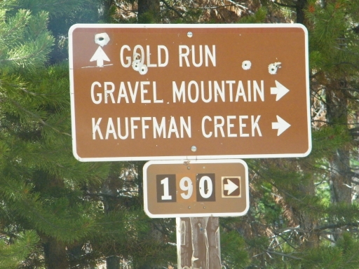
We got to the major intersection and found many, many ATVs parked there. We talked with a couple of the drivers about the trails and then decided to do the Gold Run spur first. Here we would find a couple of people on an ATV that didn't want to stay running, and we would see them a couple more times before the trail was completed. Eventually, they waved us ahead of them.
We got to the end of the Gold Run spur and consulted maps. It was all going according to plan, so far. We turned around and came up on the ATVs again, passing them again.
At the major intersection we headed up to the top. The kiosk at the trailhead for North Supply Creek noted a bit of trail that connected Camway Trail to the Gravel Mountain trail. We didn't think it existed, but we needed to see for ourselves.
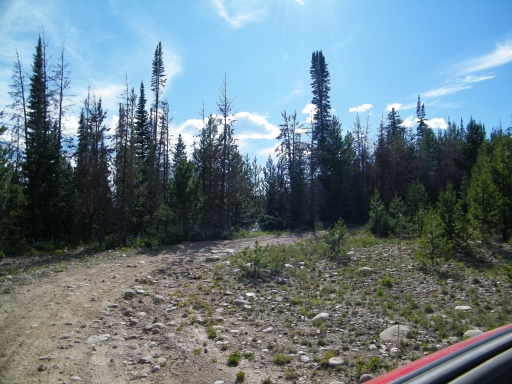
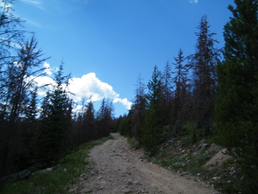
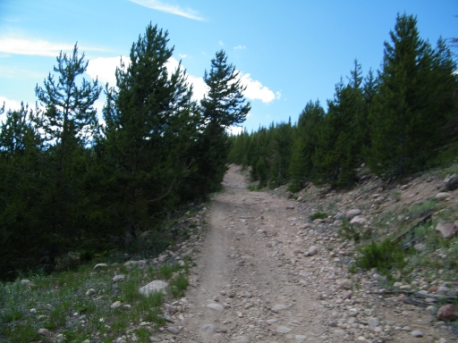
The highest spur just fizzled out as it got more and more narrow. It looked like it would be a real challenge on an ATV, but we were done. Everyone turned around and headed back down.
The next spur ended at a parking area and hiking trail. It seemed that this would have been our connection to Gravel Mountain, but it wasn't to be. It was closed to 4x4 vehicles. So we headed back down.
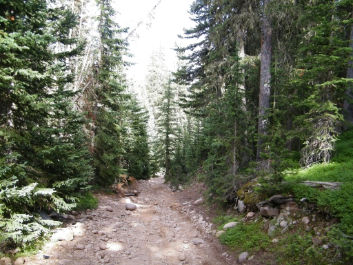
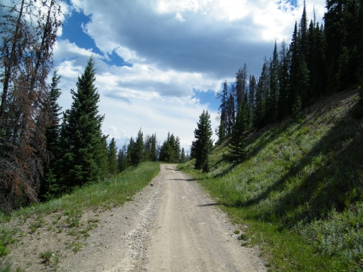
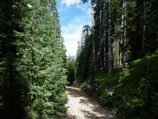
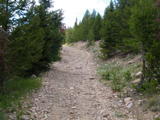
We wanted to check out the Little Gravel Spur Road, but we were unfortunately heading down it instead of up it. We came across two other Jeeps on their way up. Even though it was fun on the way down, we knew we were headed in the wrong direction.
We popped back out onto Stillwater Pass and headed back in to Camway Trail to try the last little spur, the one we saw originally that pointed to Camway Trail. It ended fairly quickly and we made the little loop back to the major intersection and back out.
It's a fun little network of trails, especially the Little Gravel Spur Road. We all stopped at the "easy" trailhead to discuss our plans. It was getting late, so Ladd, Mark U. and Marcus headed back out to the Stillwater Pass trailhead and out for home. Monica, Roger and Walt continued on to check out the rest of the trails.
It was a great time, and we'll definitely check out that spur again.