Byers Peak
It isn't often that we find a trail that we don't really like, but this is one of those trails. We probably won't do it again unless we're in the area for other trails. It probably used to be a better trail than it is now, but the end of it is closed now.
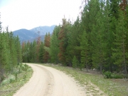
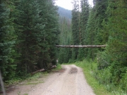
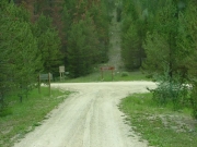
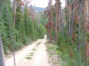
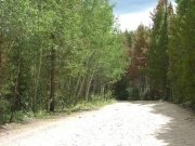
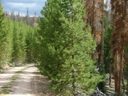
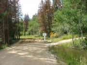
The trail itself is an easy dirt road. We wouldn't have found it without a GPS track, either. It wandered all over the place. Also, it never left the trees, so the scenery stayed the same.
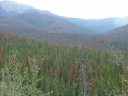
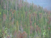
The trees here have almost all been killed by beetles. Probably 90% of them are dead. We were expecting a forest fire any minute.
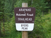
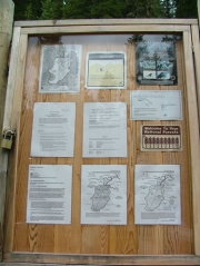
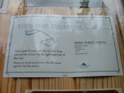
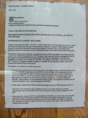
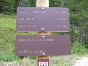
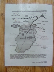
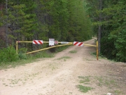
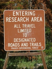
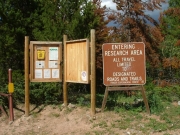
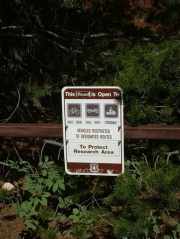
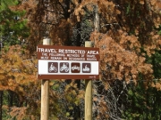
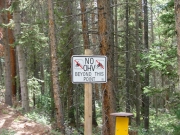
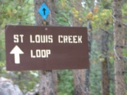
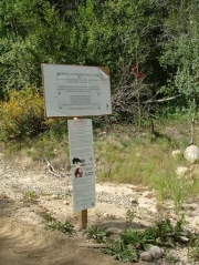
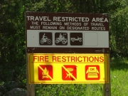
When we got to the end, we found a loop through the trees that ended at a gate. The hiking trail was 4.3 miles to Byers Peak, and it used to be about 1.5 miles. A lot of the area has been closed for research purposes. No motorized vehicles are allowed.
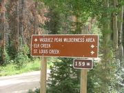
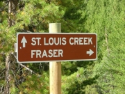
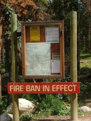
We went back out the easy way, following County Road 73 to the town of Fraser and out to the highway. It was kind of a bummer of a trail, but we commented that we were glad we saw it before the forest fire that seemed destined for the area. It was kind of depressing.


