Butler Wash
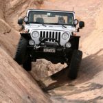
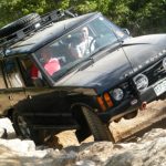

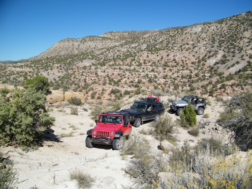
There are two very long trails that go from north to south along Comb Ridge. We did the Comb Wash trail in 2010 to follow along the base of the ridge. This year we were going to to Butler Wash to follow the ridge along its top. Would the trails be very different?
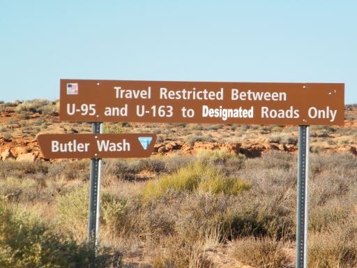
There weren't many spurs off of Comb Wash but there were a huge number of spurs off of Butler Wash. We could have spent all week exploring what the trail had to offer. Unfortunately, we only had one day so we could only do a limited amount of exploring.
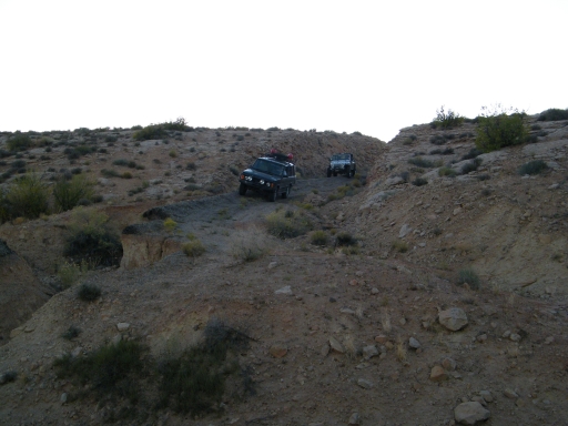
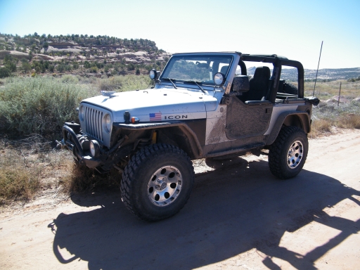
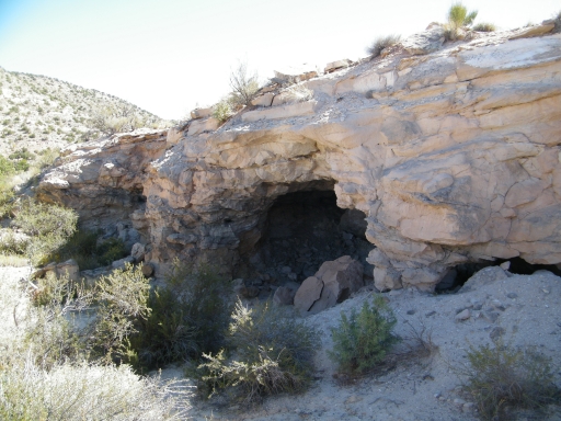
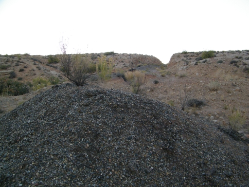
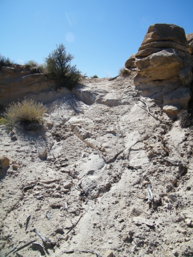
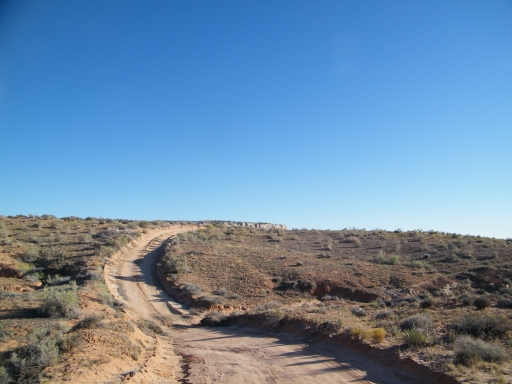
We checked out the little climb to the mine near the north end and it was a nice diversion from the easy trails we'd been doing. Our wide vehicles couldn't continue past the mine but it looked like ATVs and dirtbikes could keep going.
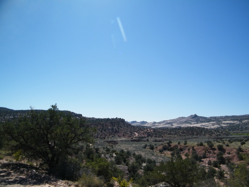
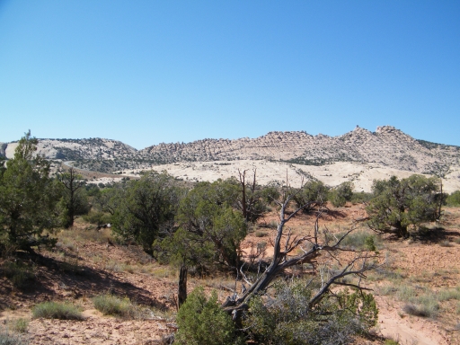
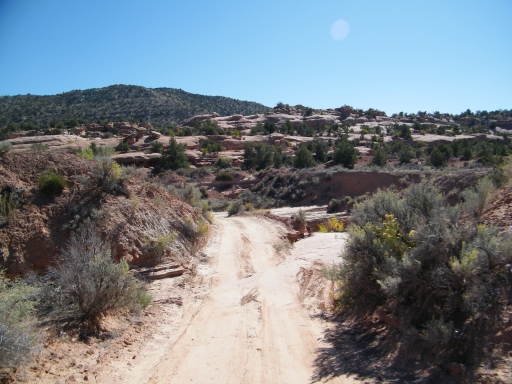
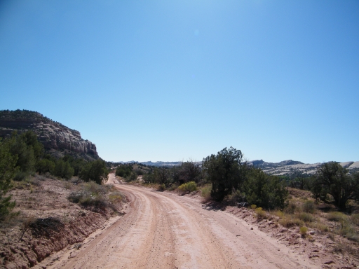
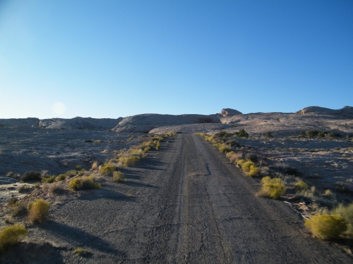
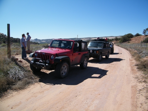
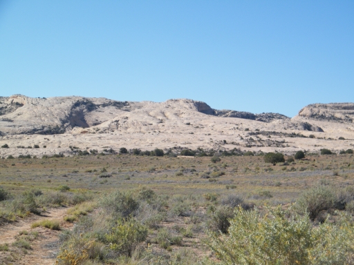
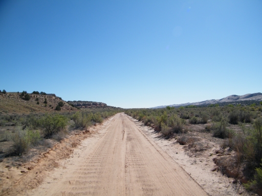
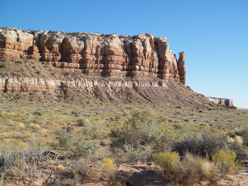
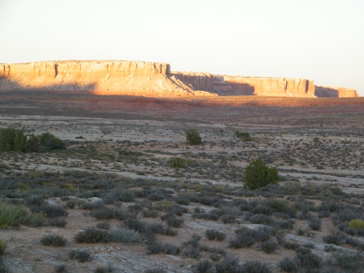
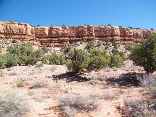
When we got back to the main trail we found it to be easy and well maintained. The views of Black Mesa were nice, reminding us of the views around Moab. We noted possible trails leaving to the east of Butler Wash but we'd have to save them for later.
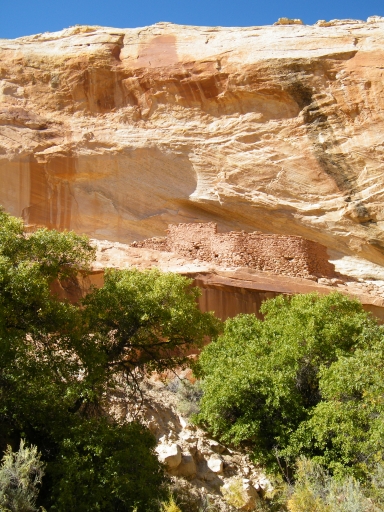
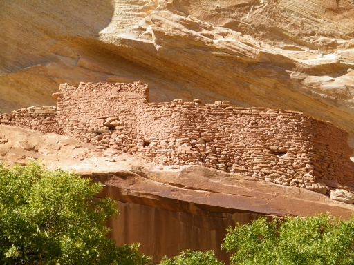
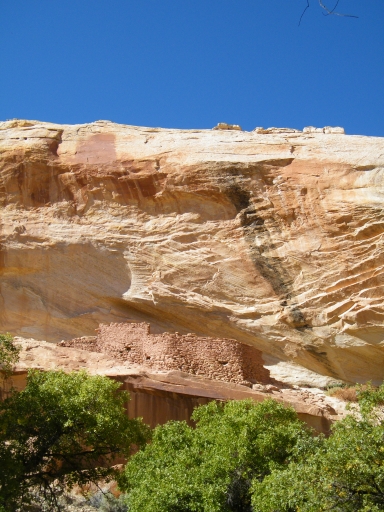
Even though it was quite a few miles in we found ourselves at our destination spur very quickly. We wanted to see the Over and Under Ruin. The spur wasn't marked but we found it easily using the GPS. The road went a little way in but then we had to park. The parking area was hidden in some brush. We grabbed waters and cameras and headed out.
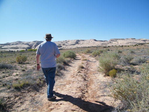
The first part of the hike was easy but hot as it followed the old road. We finally got to an area with trees and found another trail that headed north. That one most likely went to the Rim Ruin and it was much longer than the hike to the Over and Under Ruin. We explored a little but then kept going.
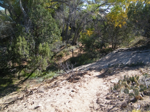
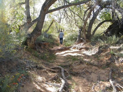
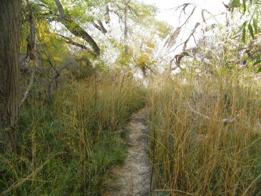
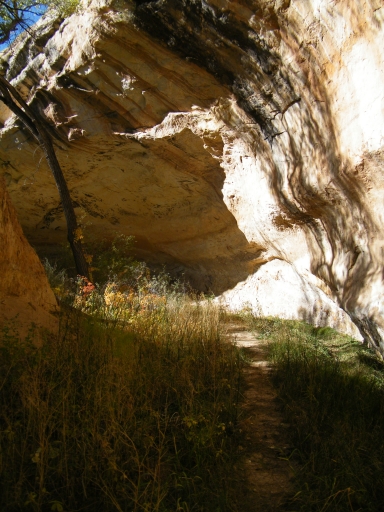
The trail was very overgrown. We could usually find it using the track we had on our GPS if we couldn't spot it. It took us into the shade of the canyon.
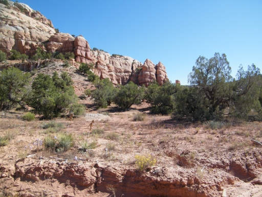
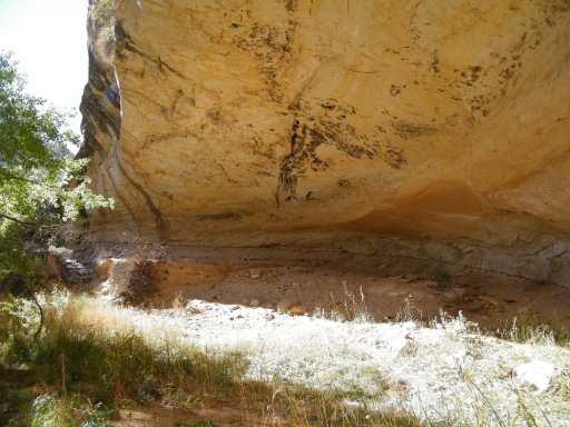
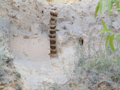
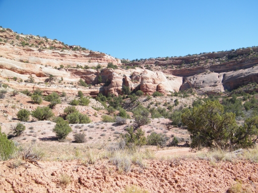
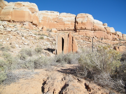
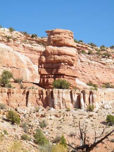
When we got to the end we could see the ruins above us. The last bit of the hike was the only steep section but it was worth it. It was very scenic.
We soon hiked back, though, to continue along our journey. It was tough to pass by all of the other spurs and ruins.
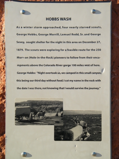
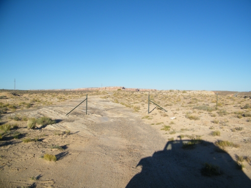
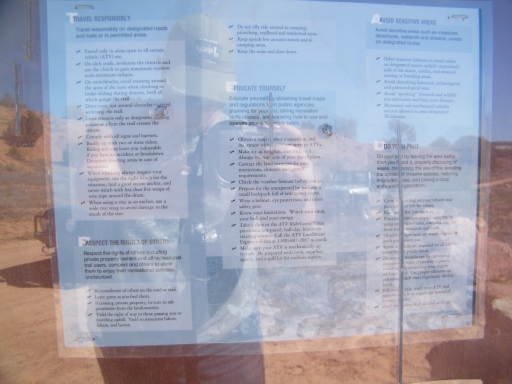
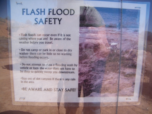
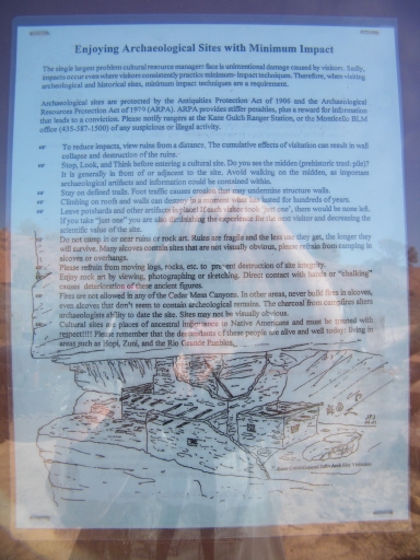
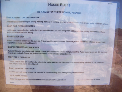
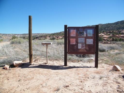
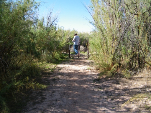
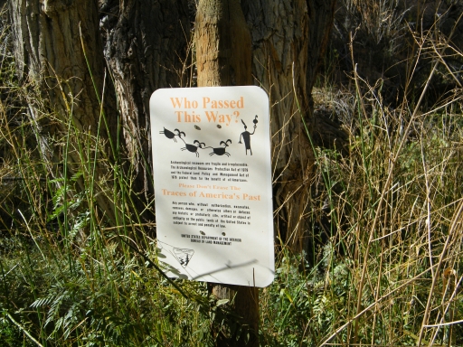
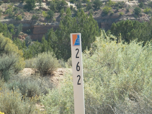
When we got to the end of the trail we went through the gate and turned right to go explore Hobbs Wash. There was a big pullout at the start of it along with a nice marker and some information. We were hoping for a less maintained trail.
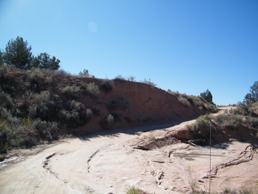
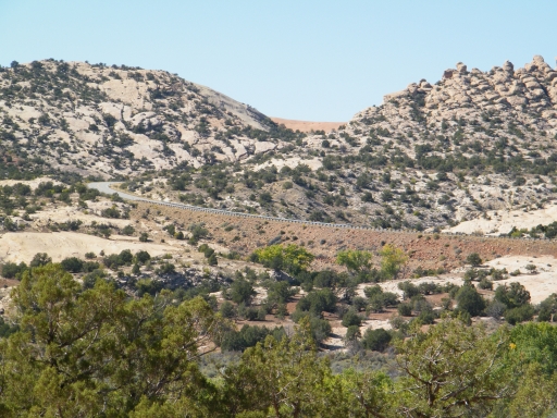
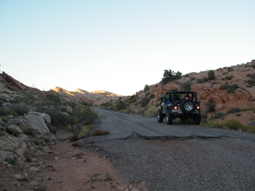
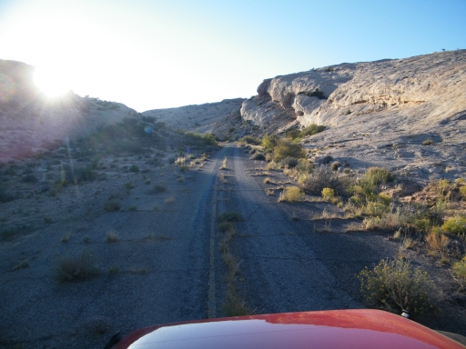
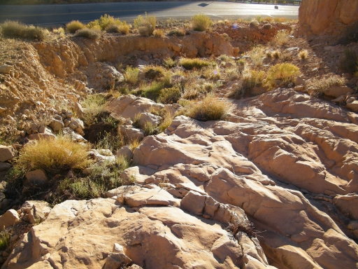
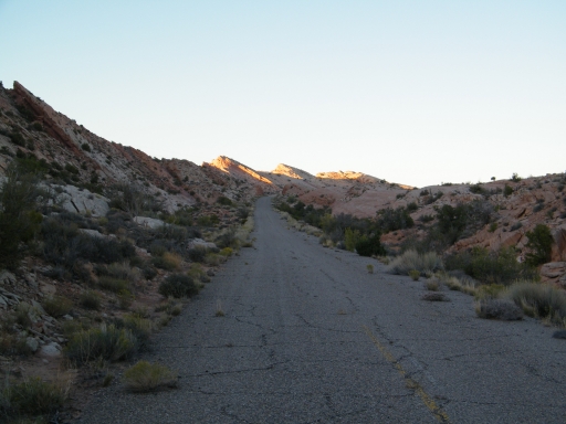
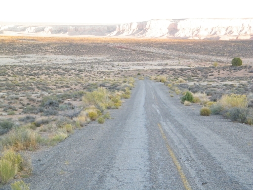
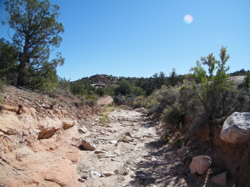
We got that for a brief time but the slickrock trail ended at old pavement. It was the old highway right at the cut through the ridge. We followed it west and it ended very near the current pavement. We talked about how a crazier group would continue along the old path through the huge rocks and loose dirt only to pop out onto the highway in the end. Yikes.
Mike did some walking and crossed the highway. This is the same bit of old highway we saw last year at the start of the River House trail. It must have been a big hill to climb on the old pavement.
The light was fading and we were on pavement so we decided to air up there. It made the rest of the area a bit bumpy but it was a good reminder about why we air down.
We followed the old highway back to see how it ended on the other side. It looked like it connected back with Butler Wash but it didn't. Mike followed it out for a distance but then it was destroyed near and old bridge. It was really falling apart at this end.
We were glad we explored a bit. After Hobbs Wash we went up to Bluff for dinner and lots of Indian Frybread. Good stuff!