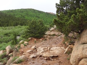
Bull Park
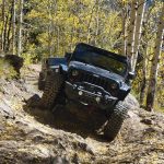

After coming down Mount Baldy we continued west onto Forest Road 379, Frosty Park. We followed this till we got to the water crossing that gets us onto Forest Road 376.A, Bull Park. We stopped for about ten minutes at the water crossing in case anyone wanted to have some fun with the water crossing. Calvin's Jeep had three younger passengers that enjoyed getting to spend some time on Bohmer Creek.
Immediately following the creek crossing we come upon a four-way intersection. To go straight is a short cut but it is a difficult shortcut as it immediately starts with an incline and a boulder field. Our group turned left.
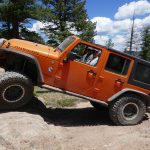
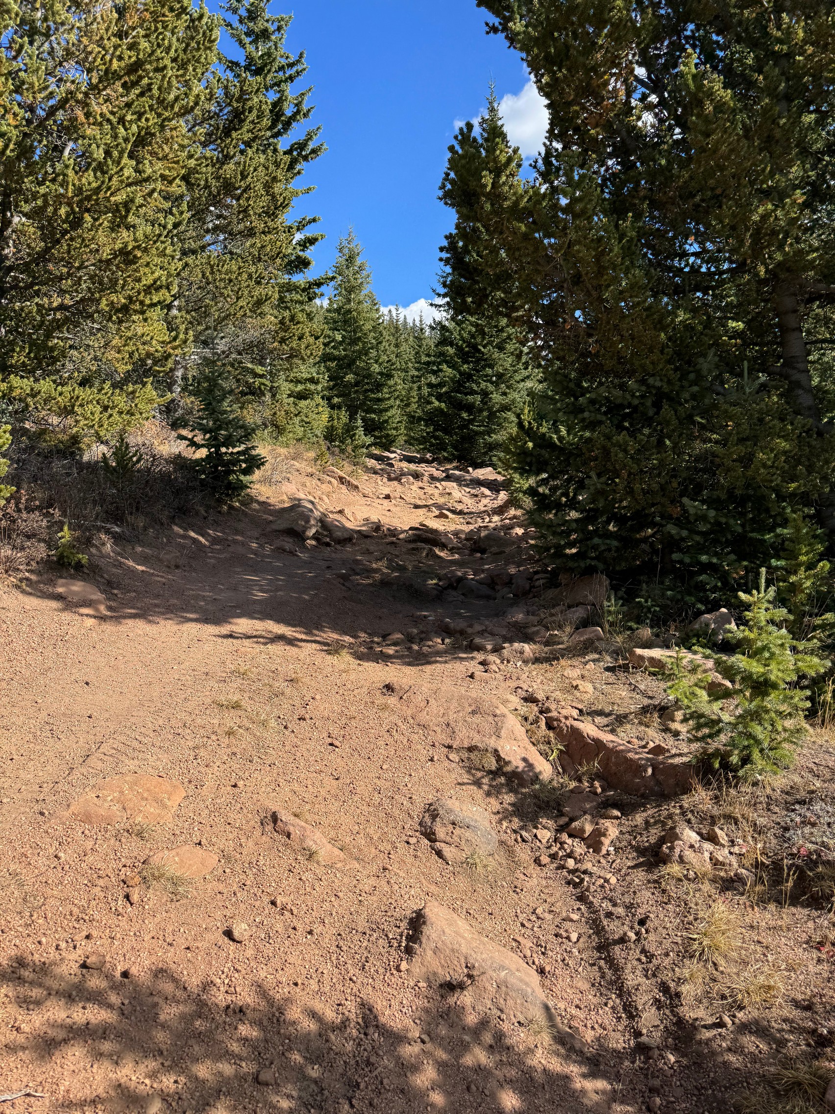
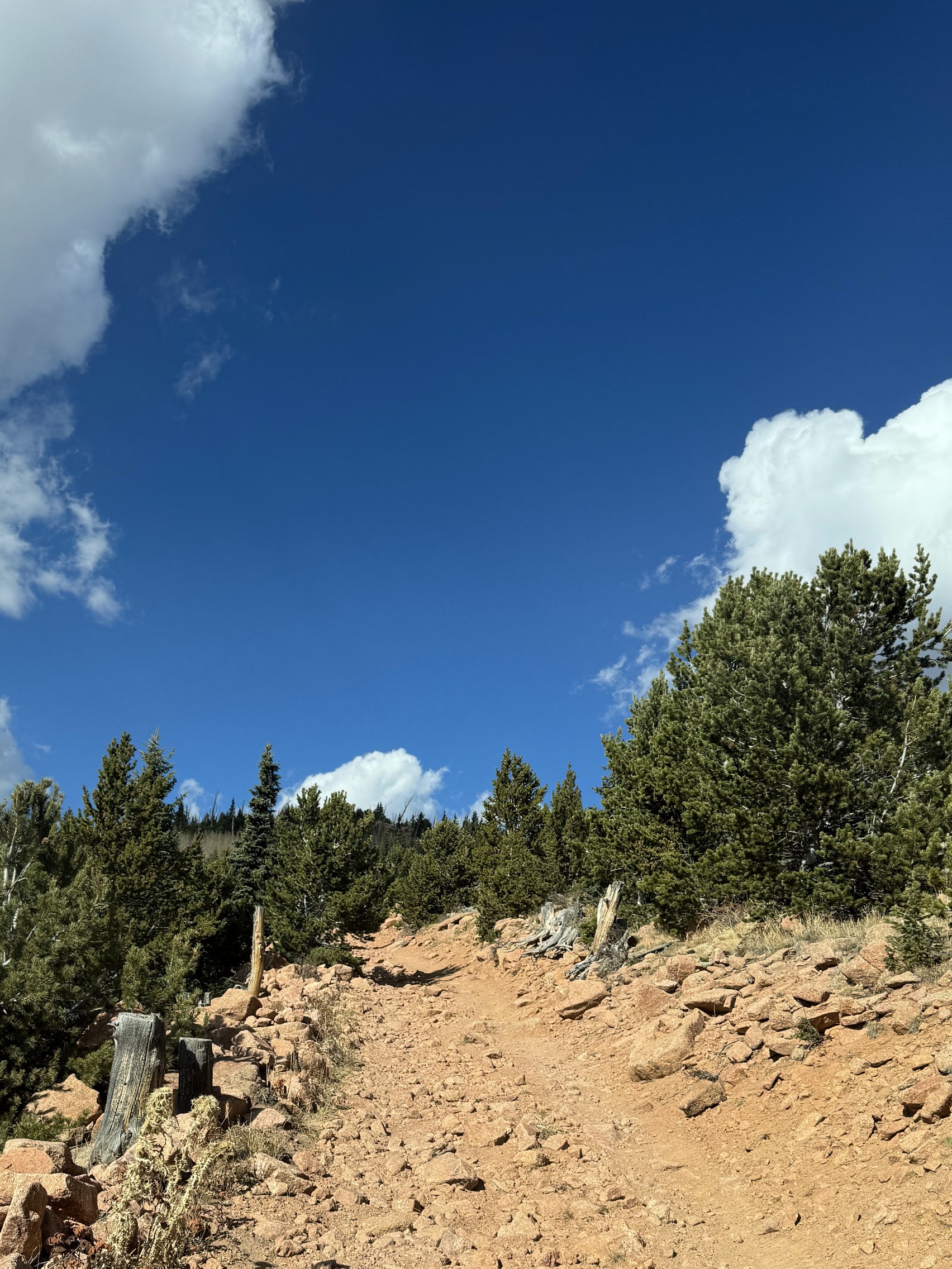
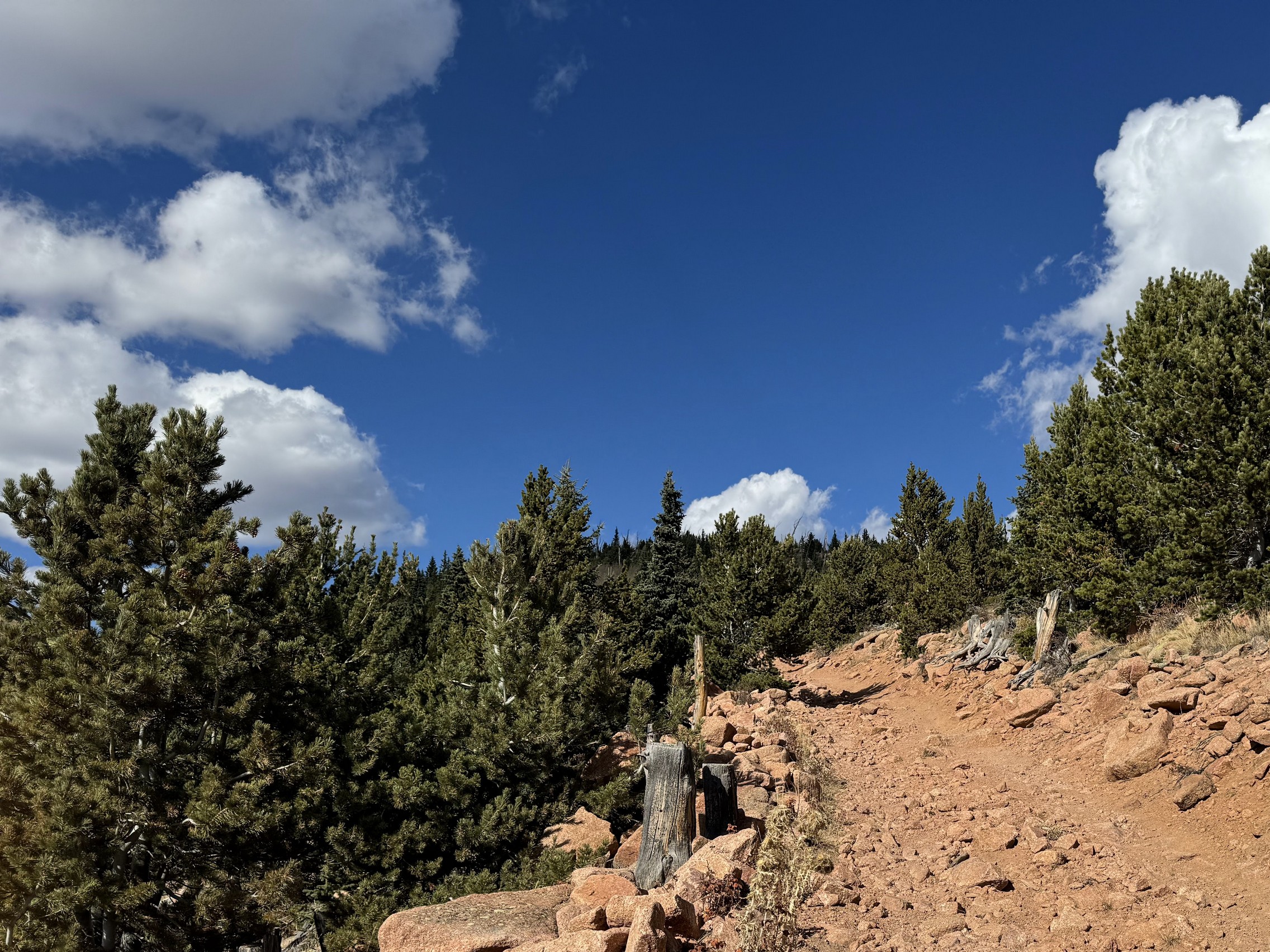
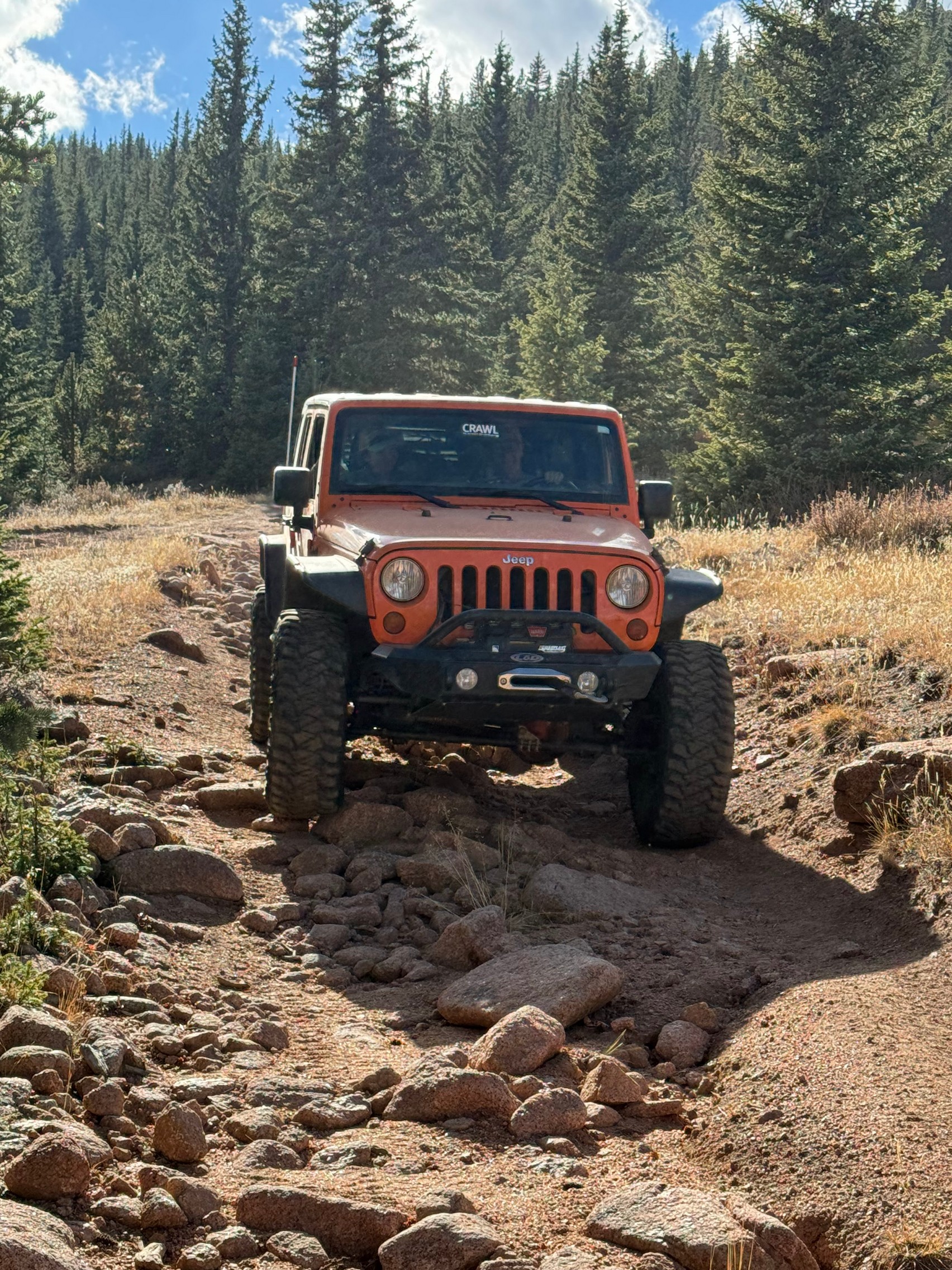
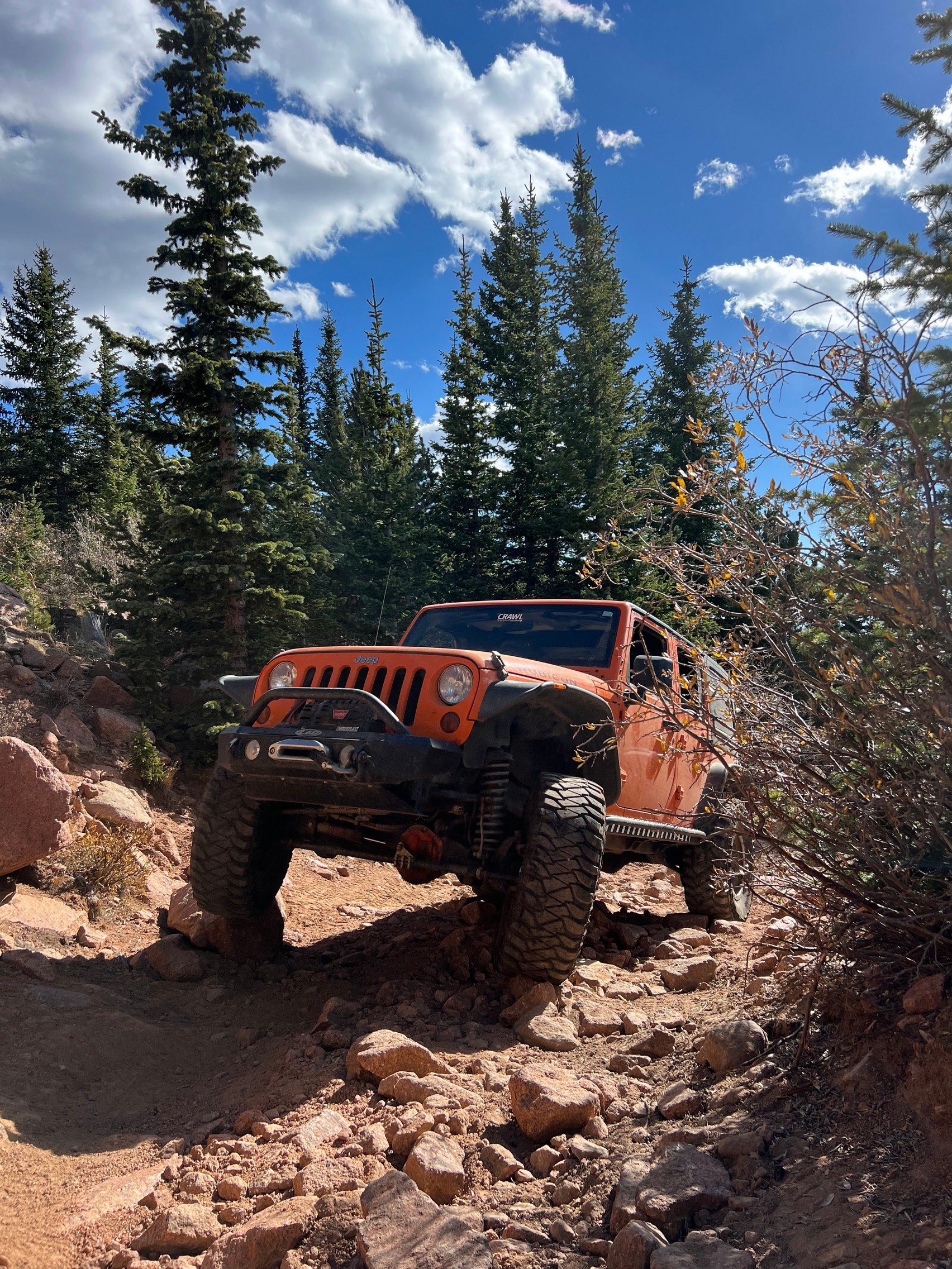
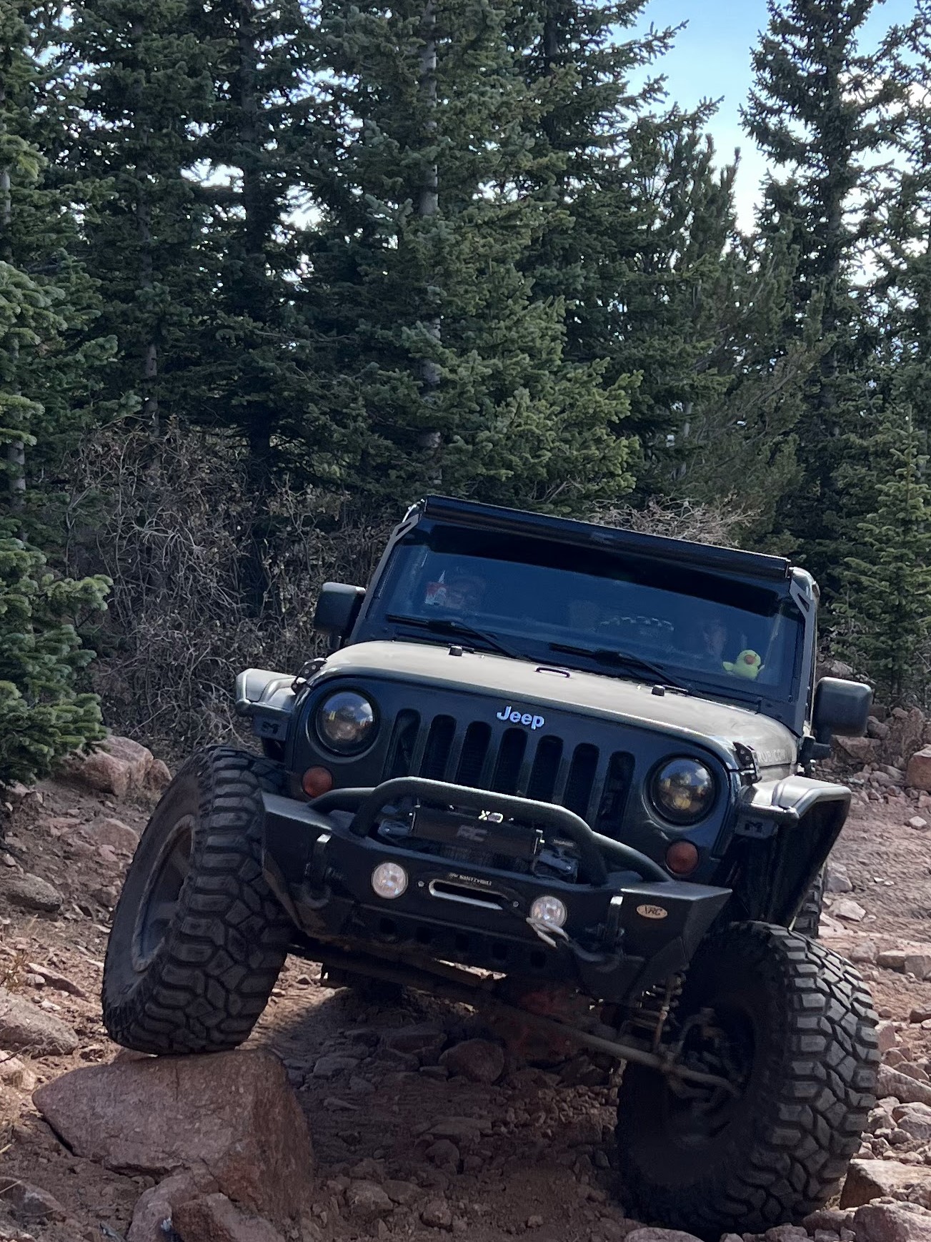
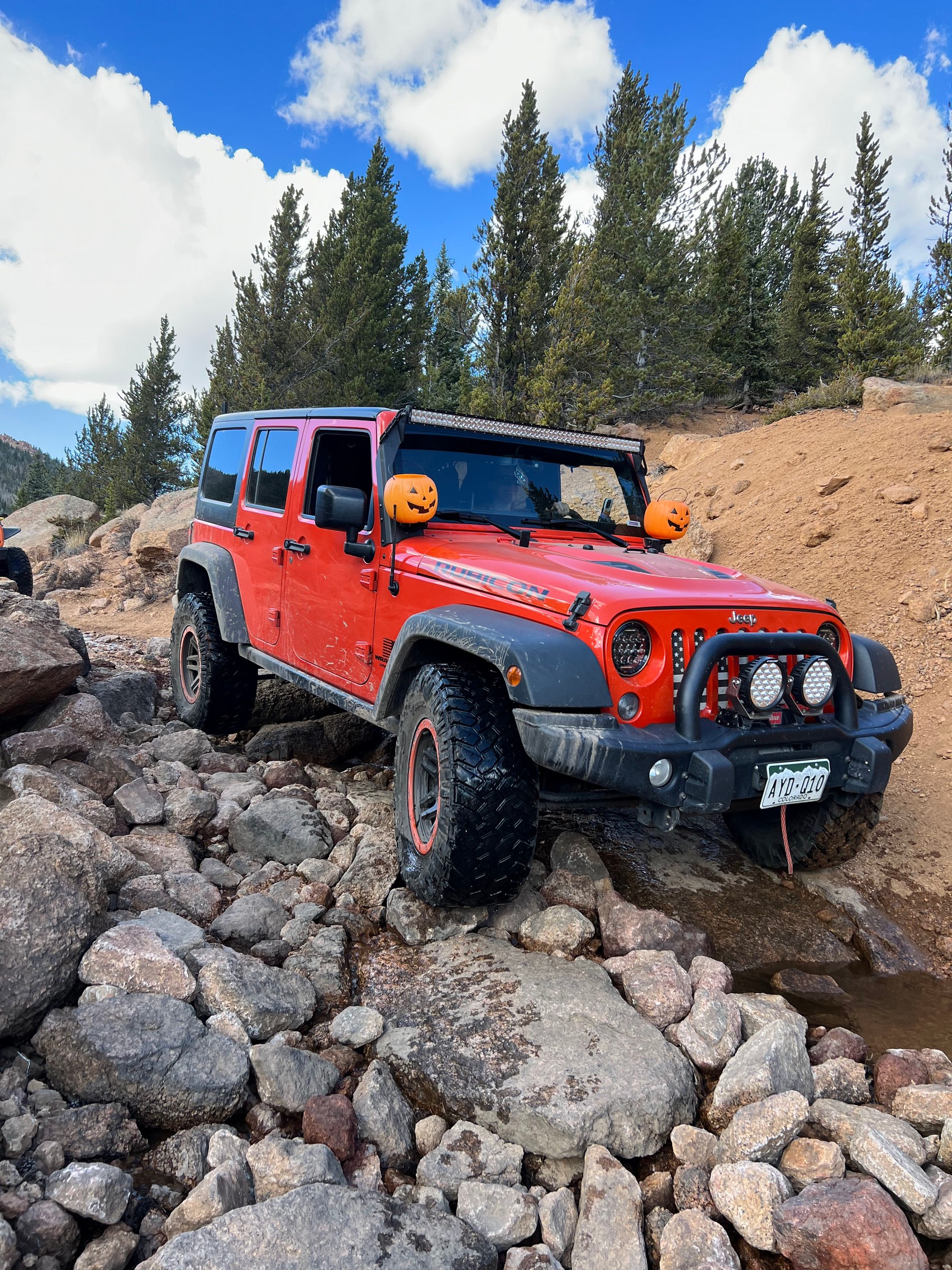
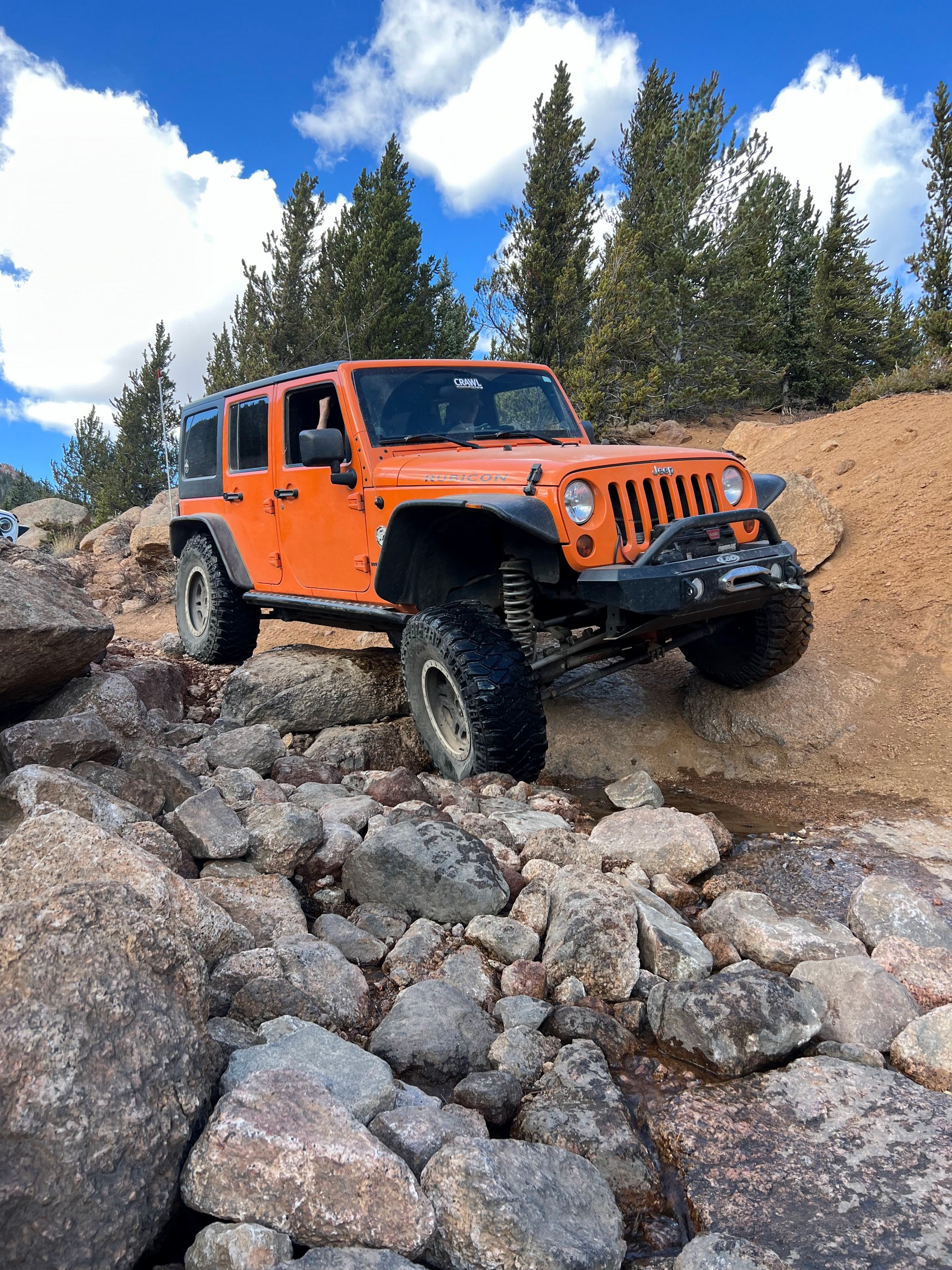
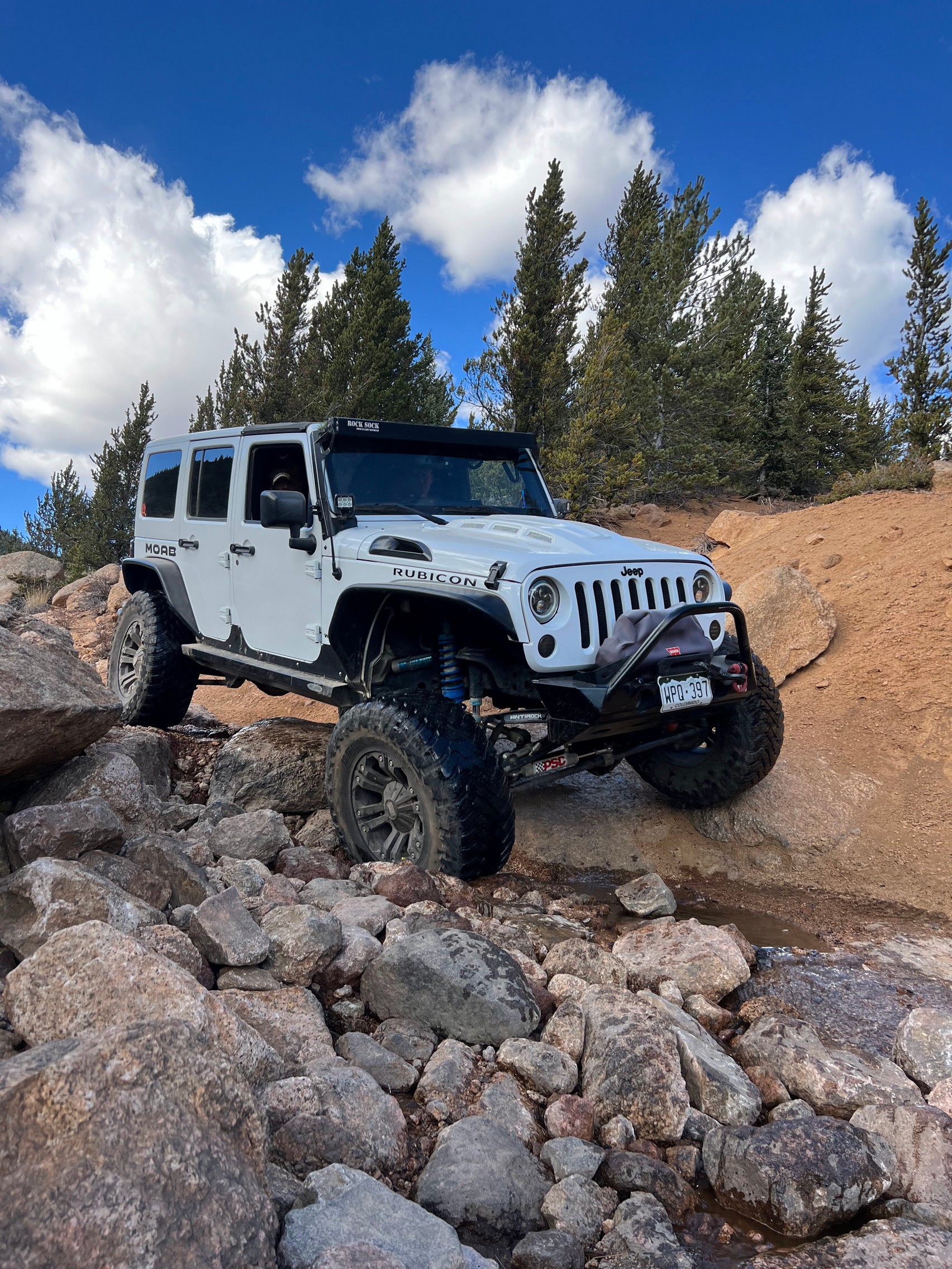
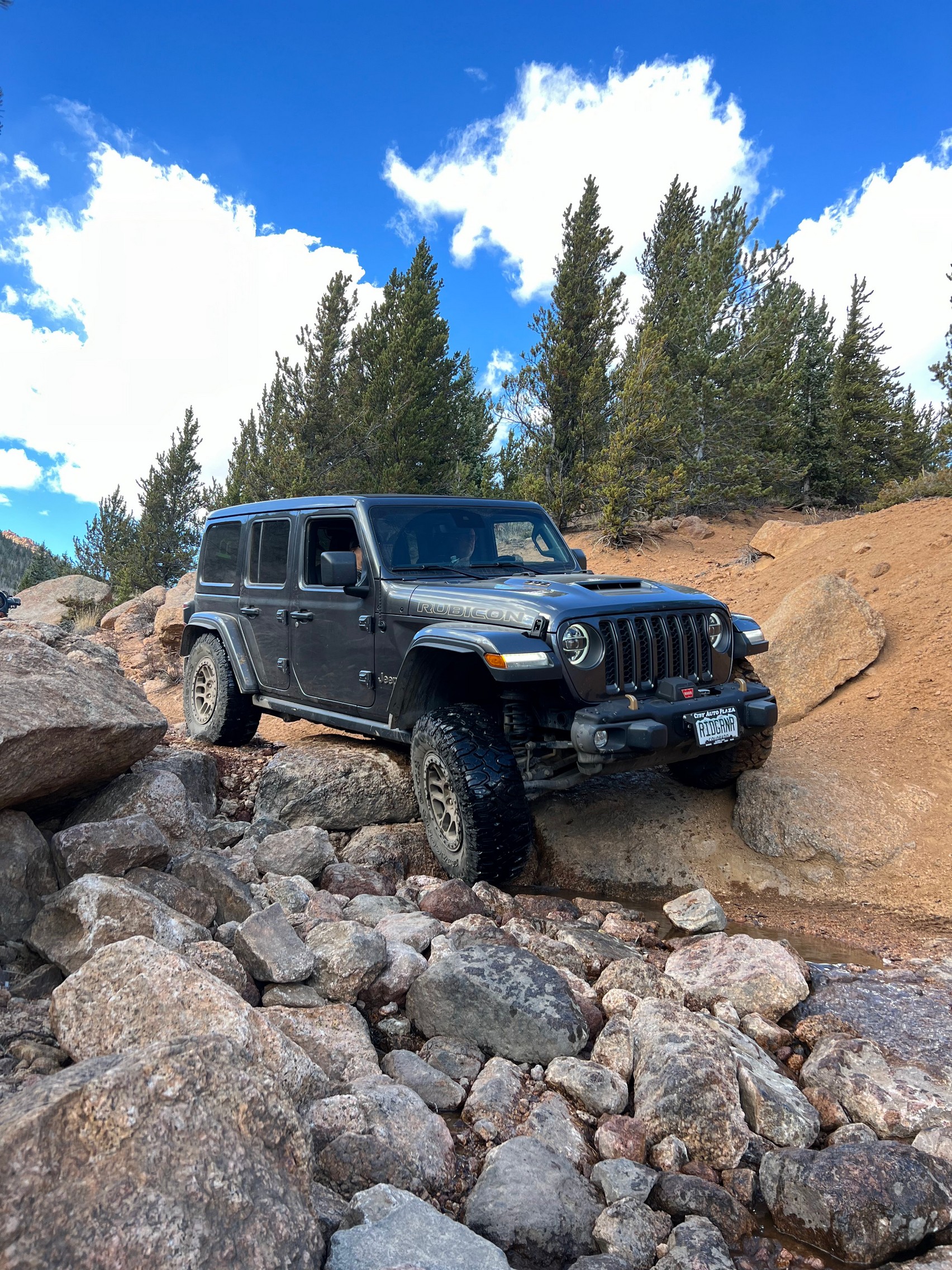
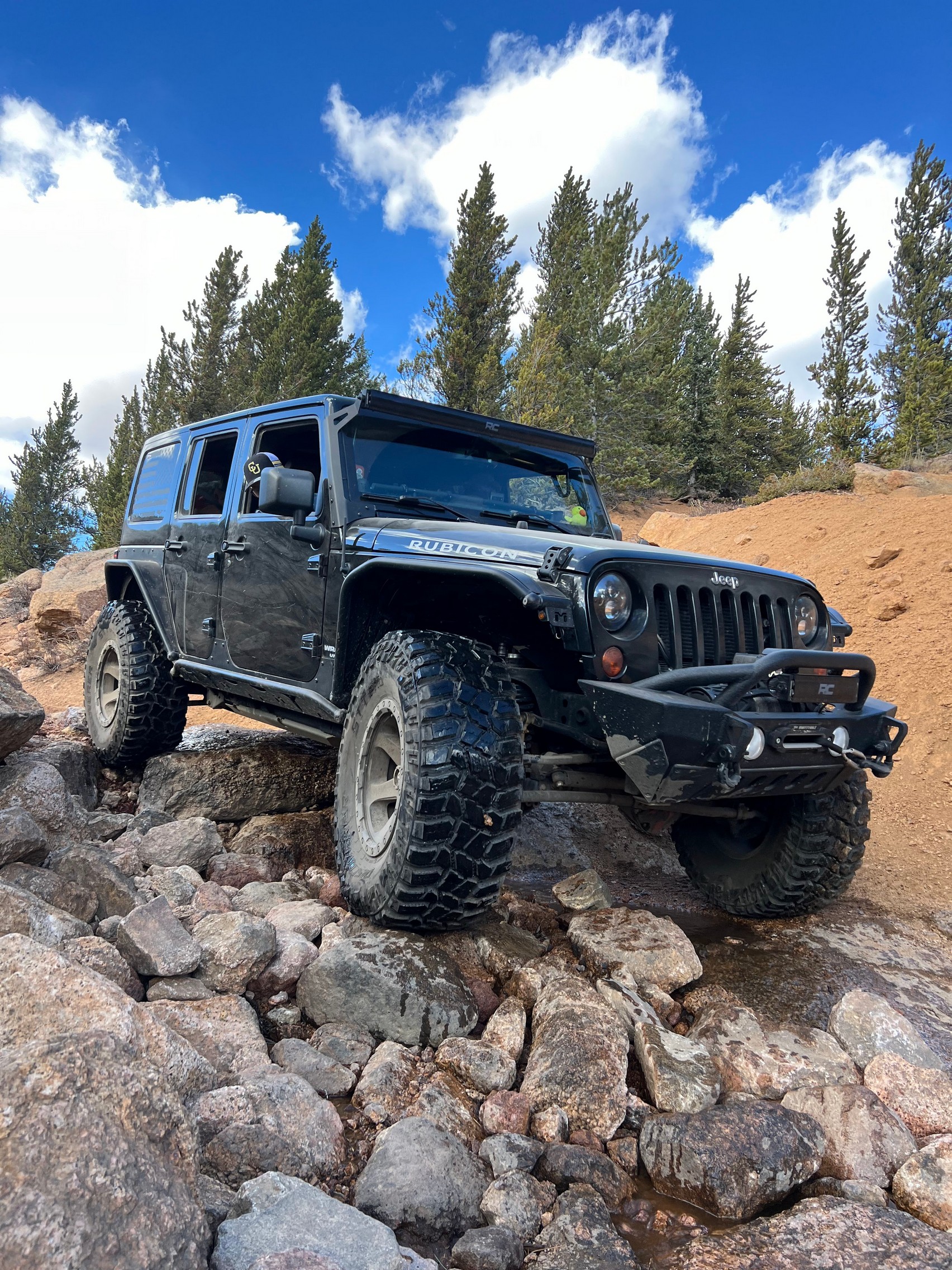
The trail was dry with occasional rocky sections leading up to a very rocky creek section. The creek rock section requires some navigating as there are a couple large boulders that form a small shelf to climb over. Going up the trail at this section was not as challenging as navigating it down, but there were no major issues within our group going over this section.
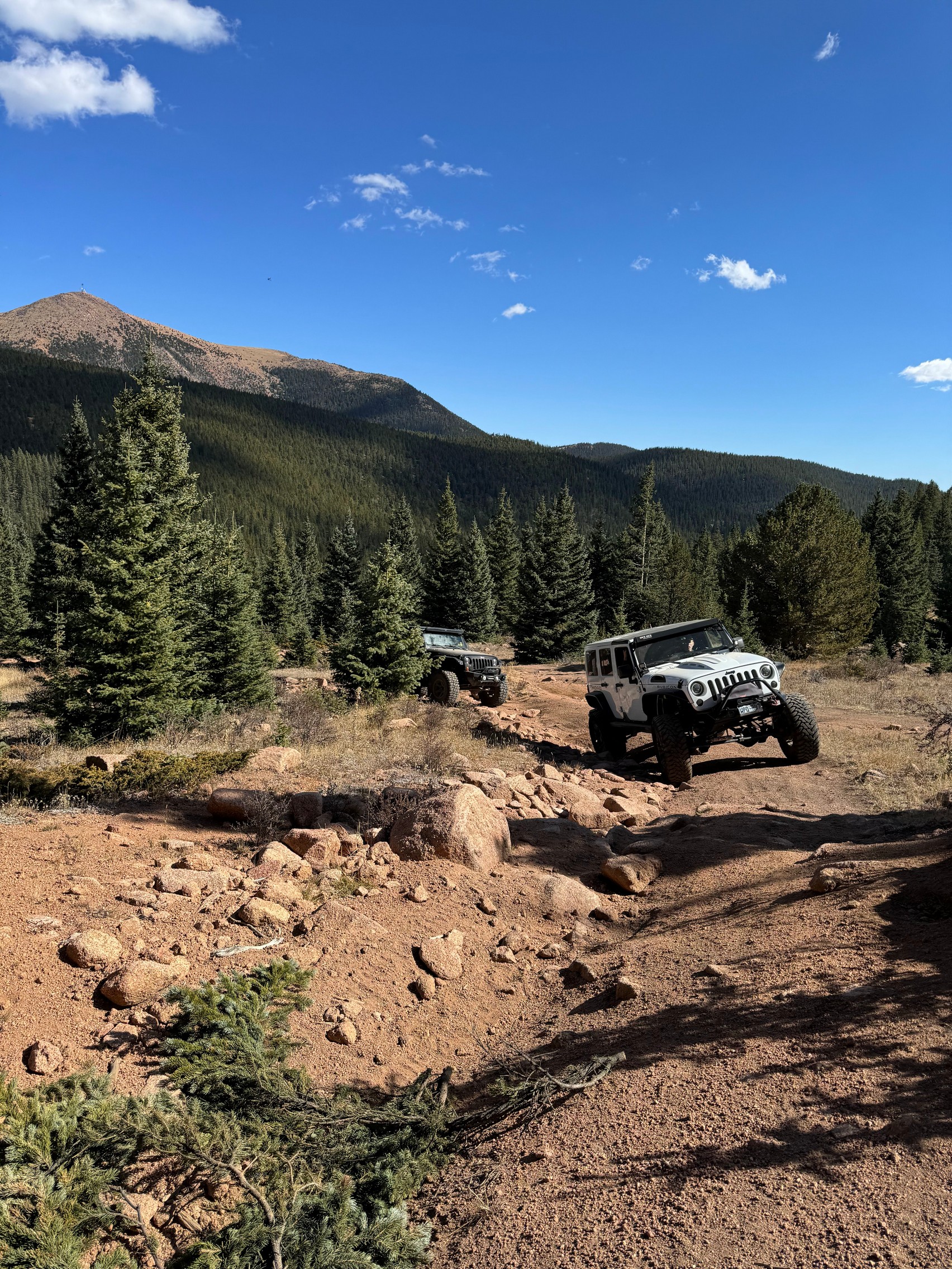
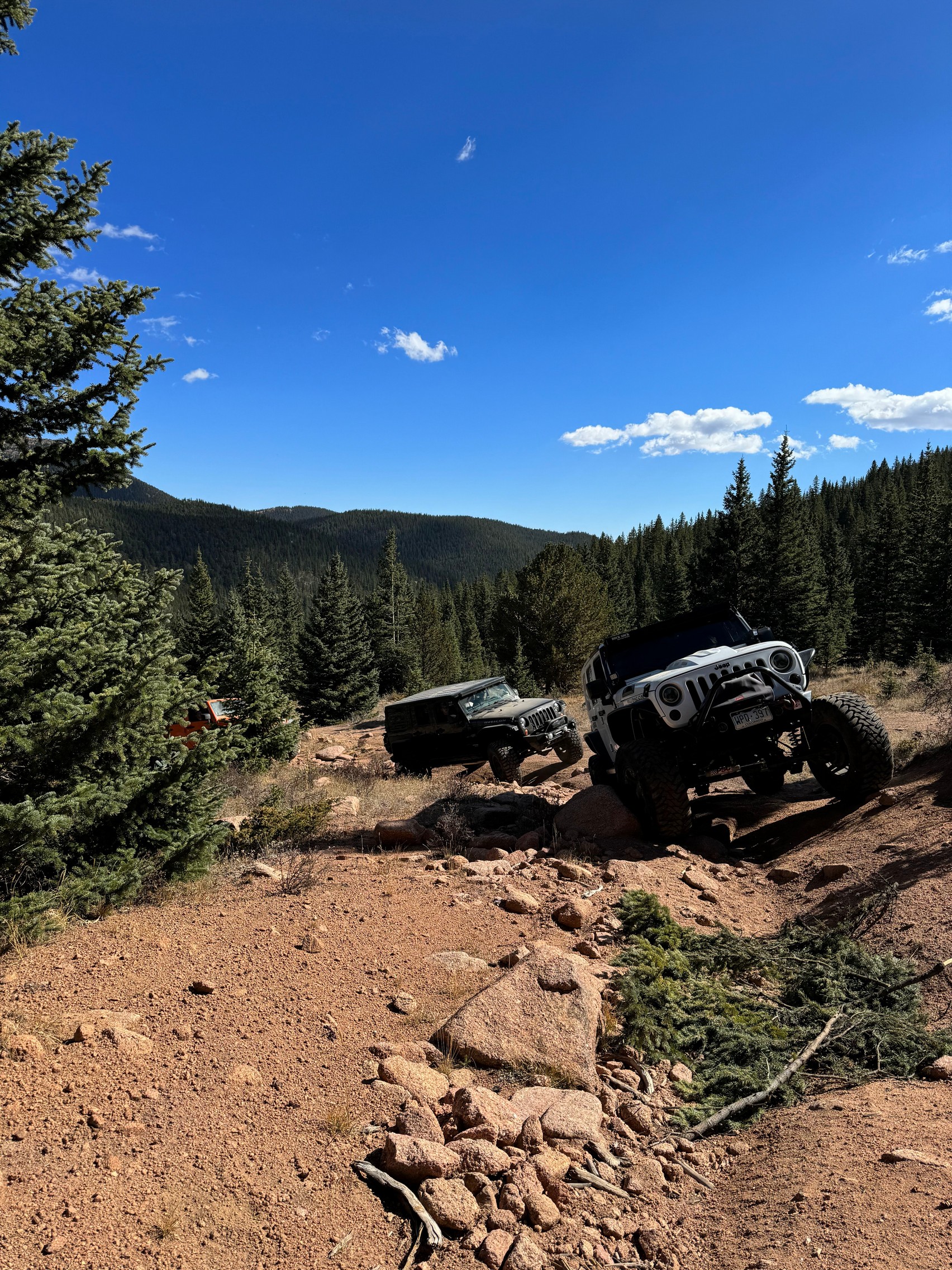
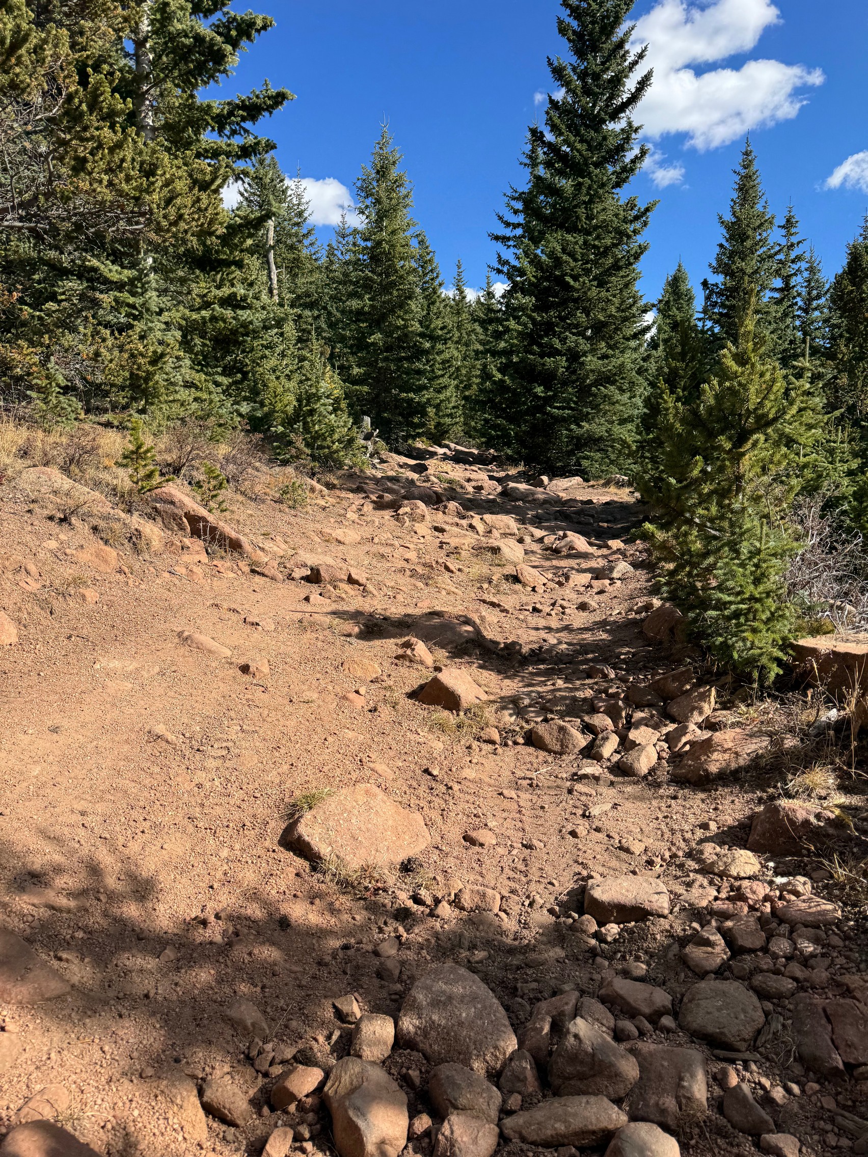
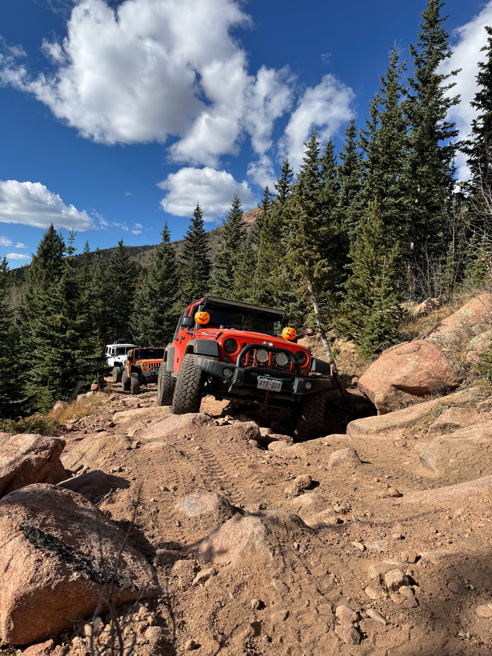
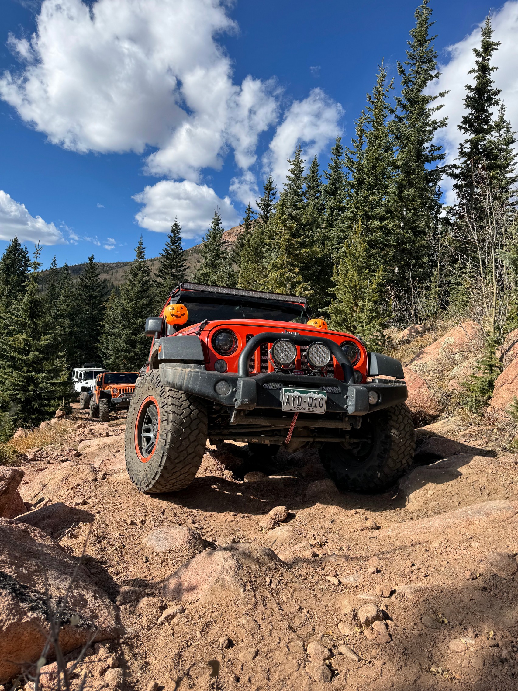
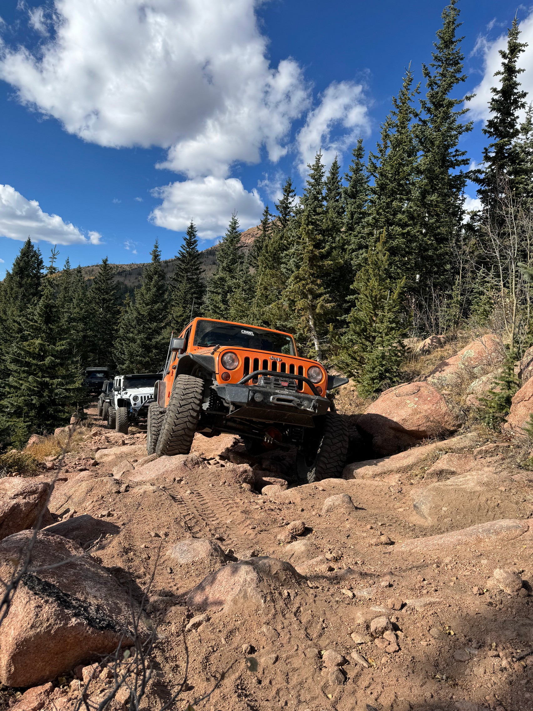
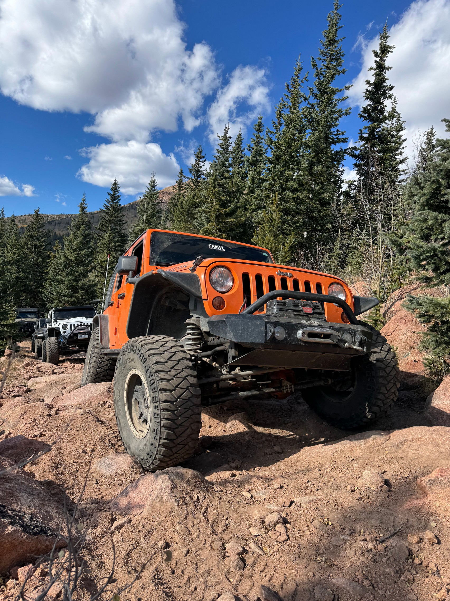
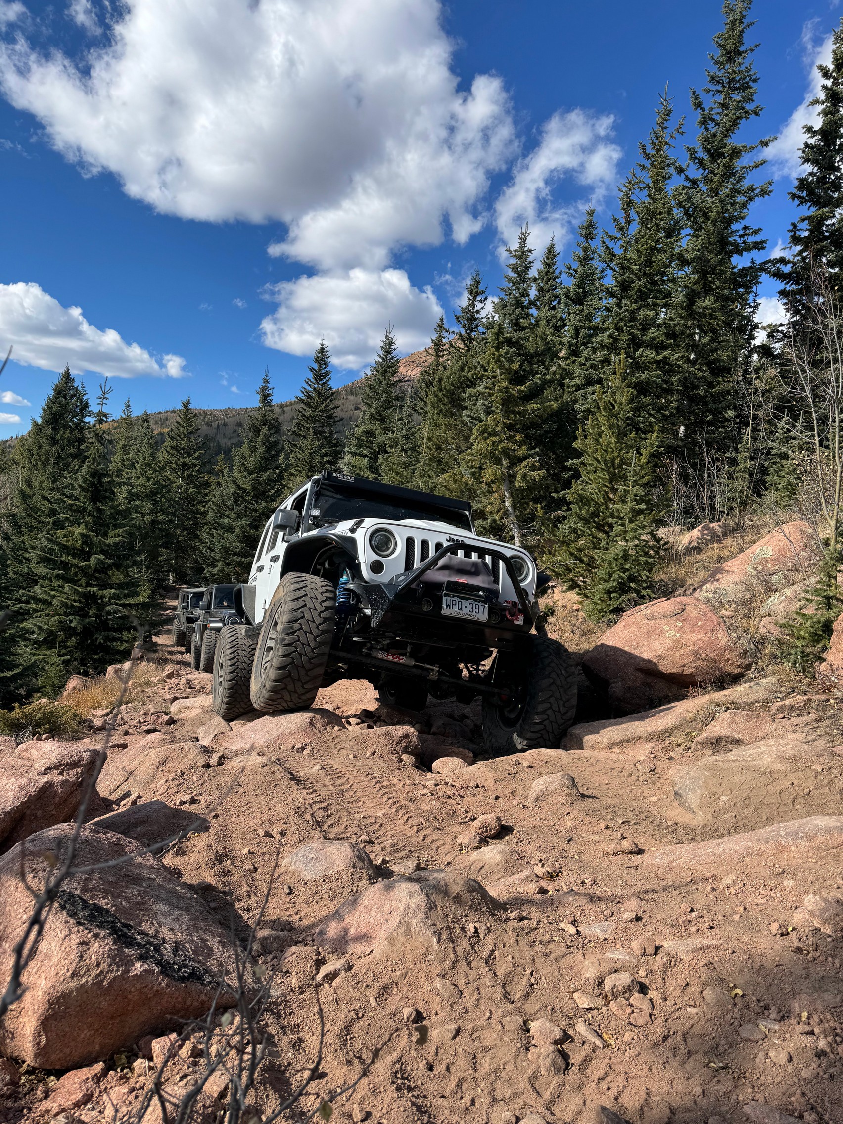
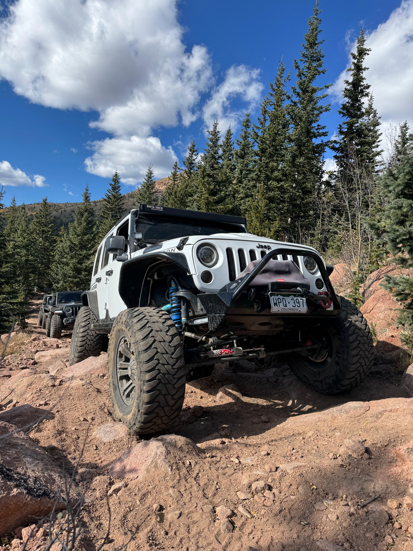
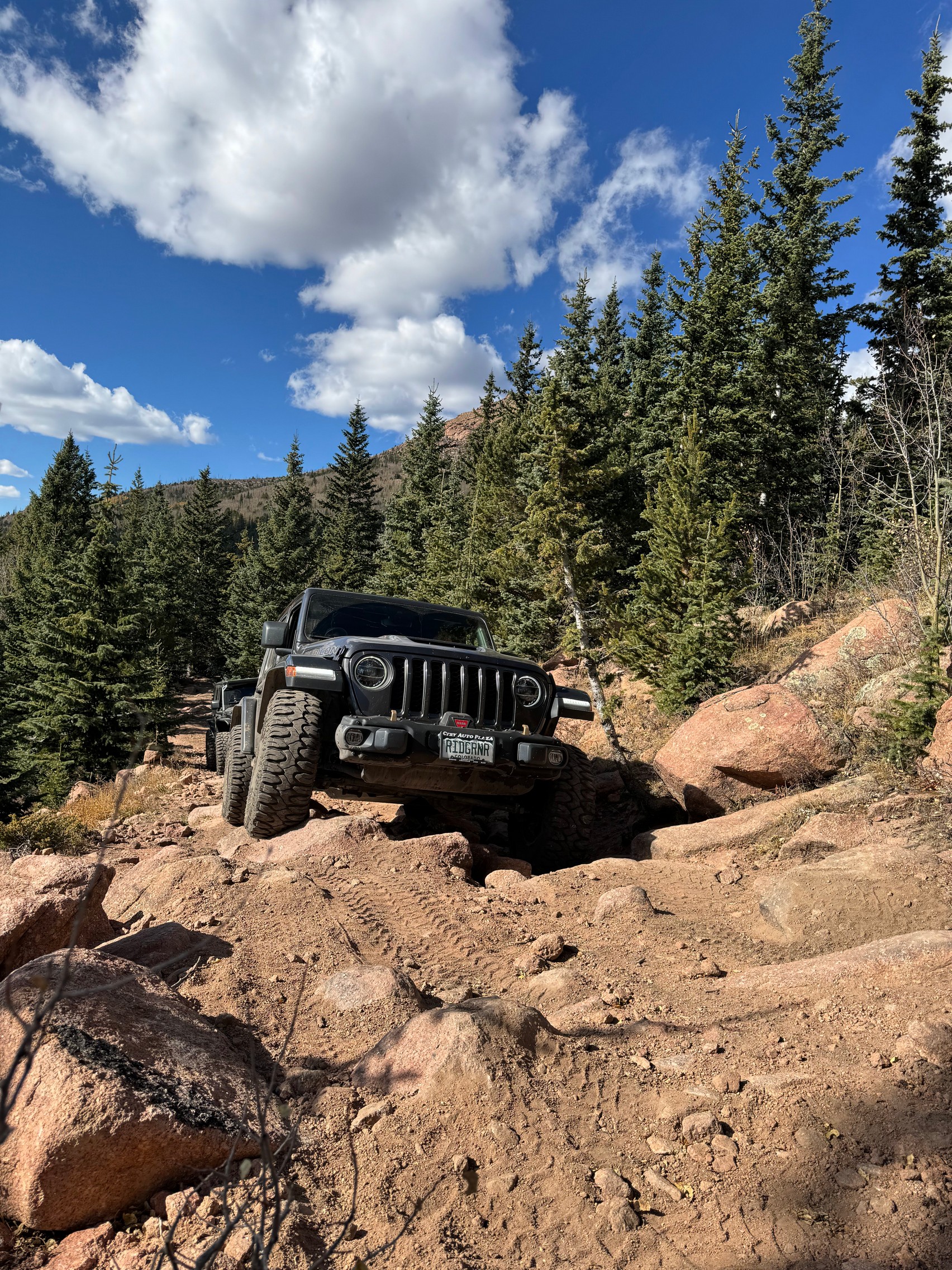
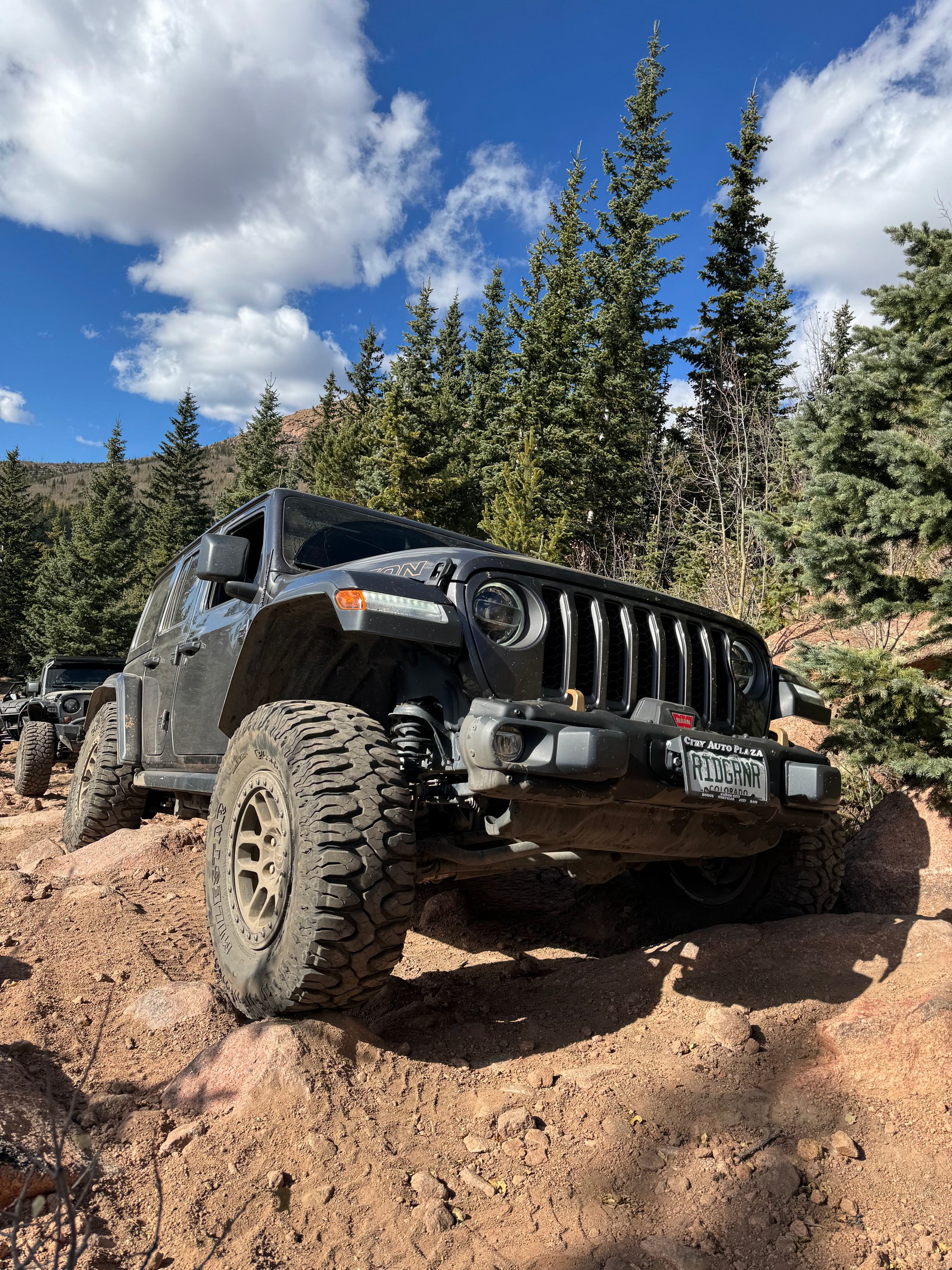
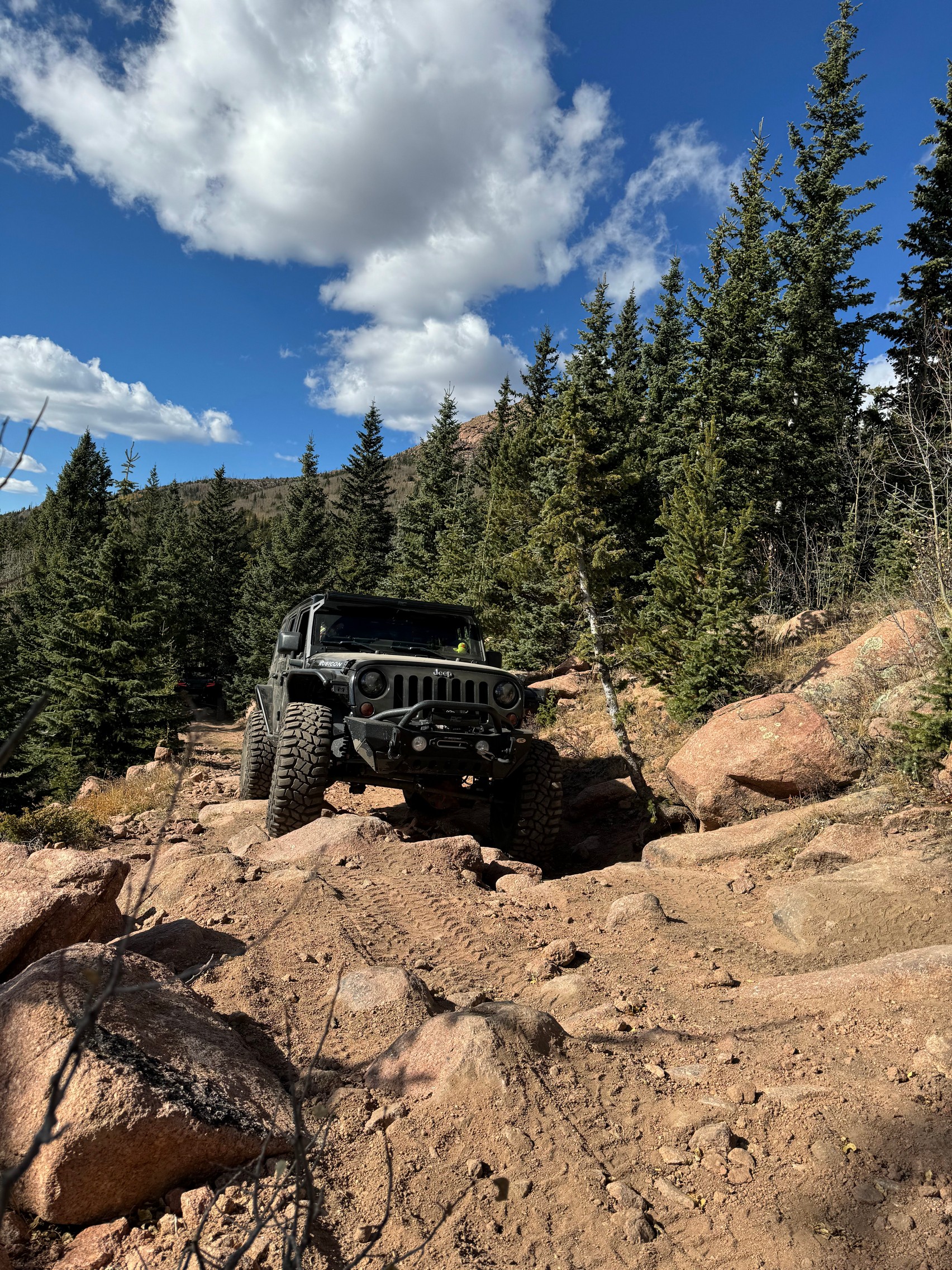
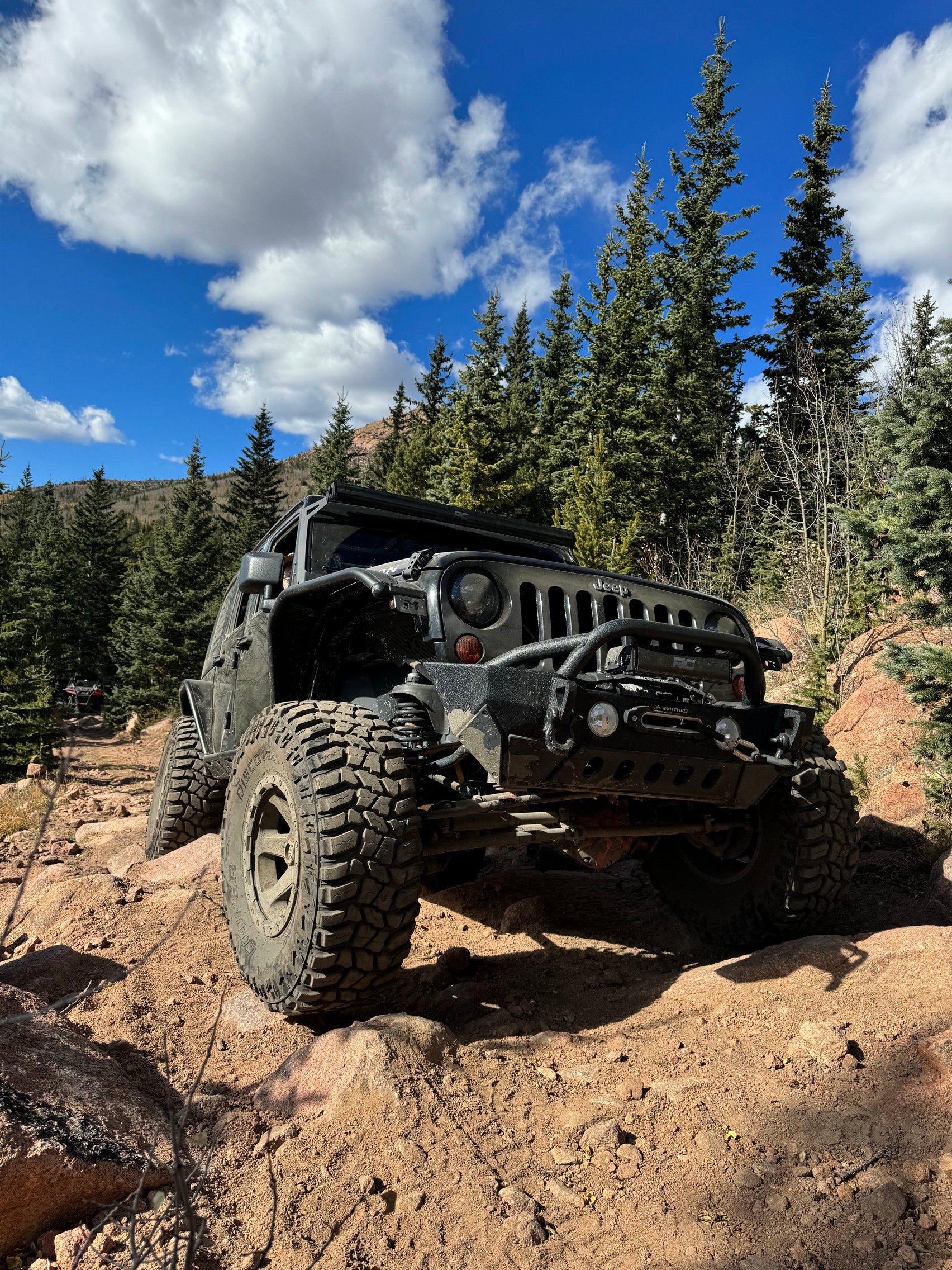
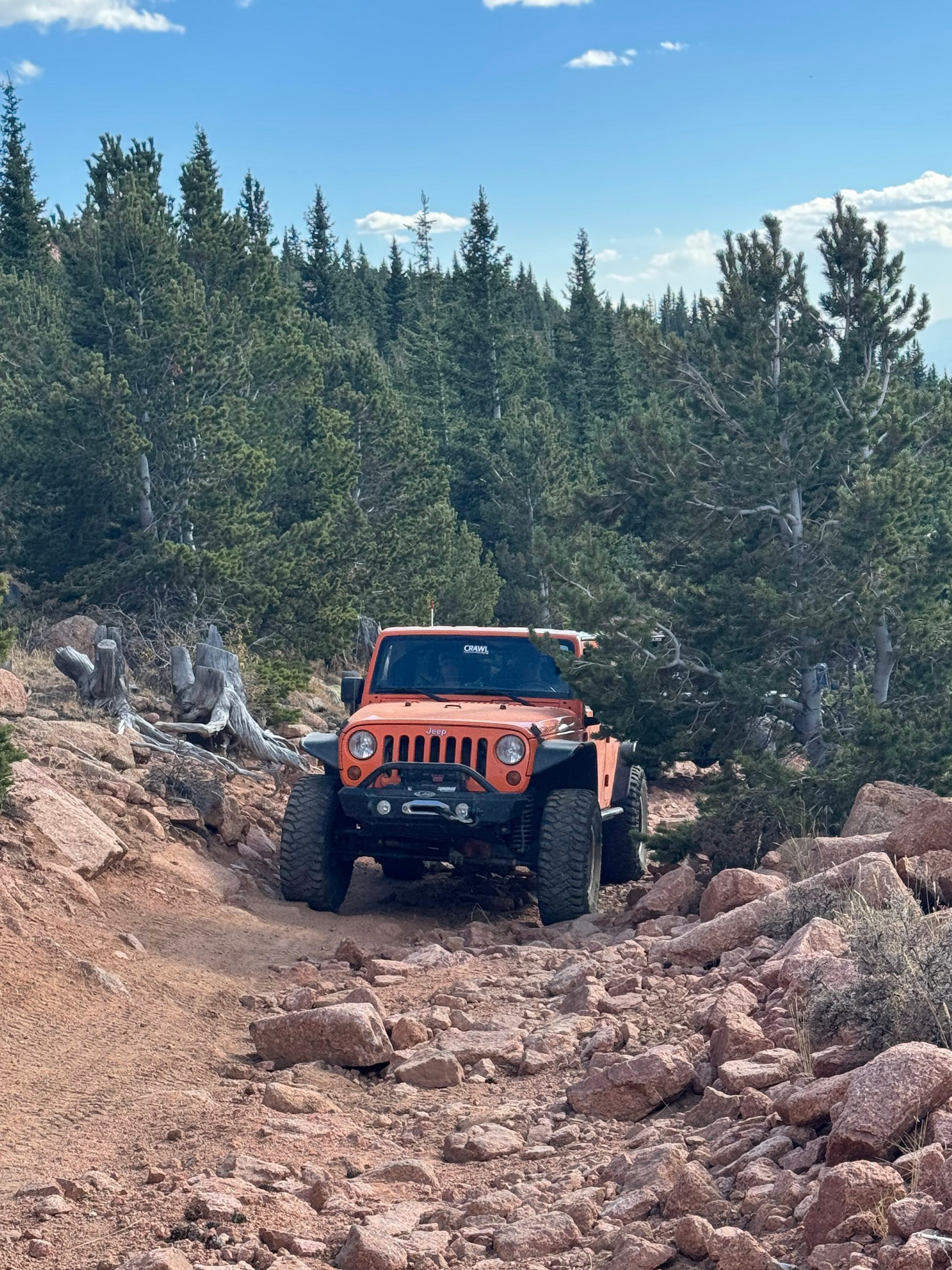
After we passed two switchbacks we came to a ridge where there were multiple turn offs. Our group followed along the original trail we had done before. After the second intersection, we came across a decline that was a rocky boulder field. Since the last time the group saw the trail, it had been subjected to being washed out, making the rocks and boulders more prominent. Everyone took their time and went slowly down the trail. Callista's passenger got out multiple times to assist with finding her line to ensure clearance going over the rocks and boulders.
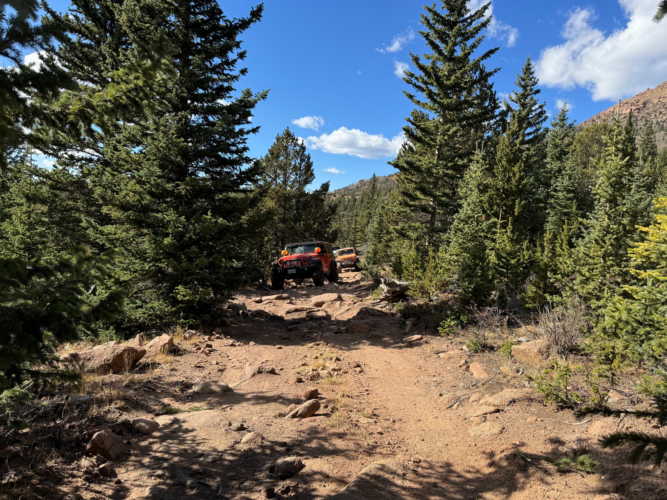
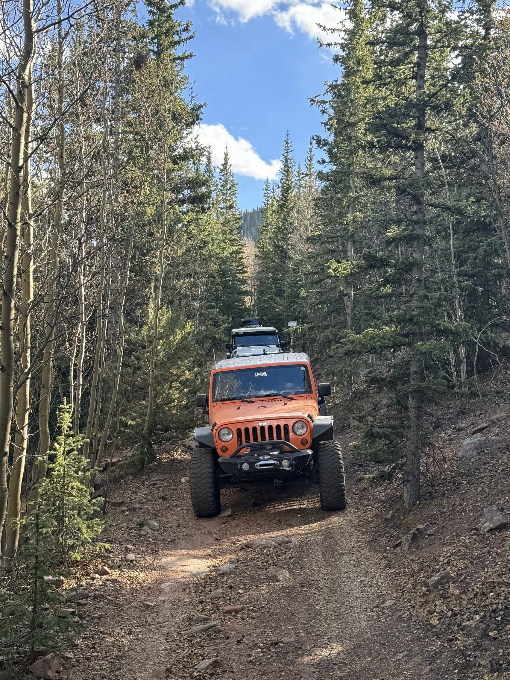
About a quarter of a mile from the trail end, the trees come close on both sides of the trail, making it more narrow at times.
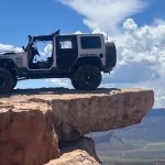
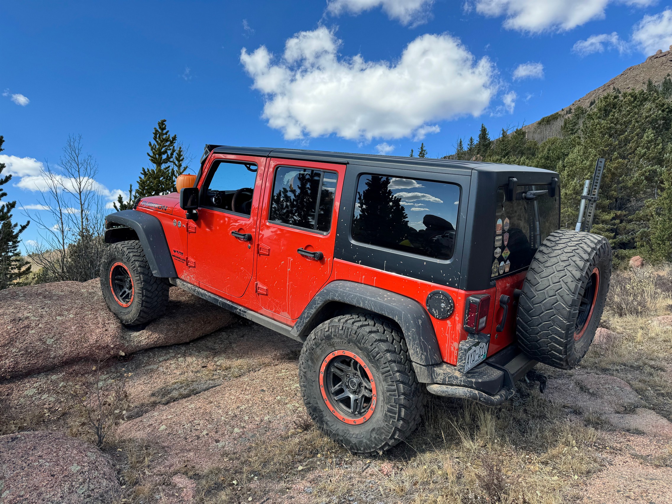
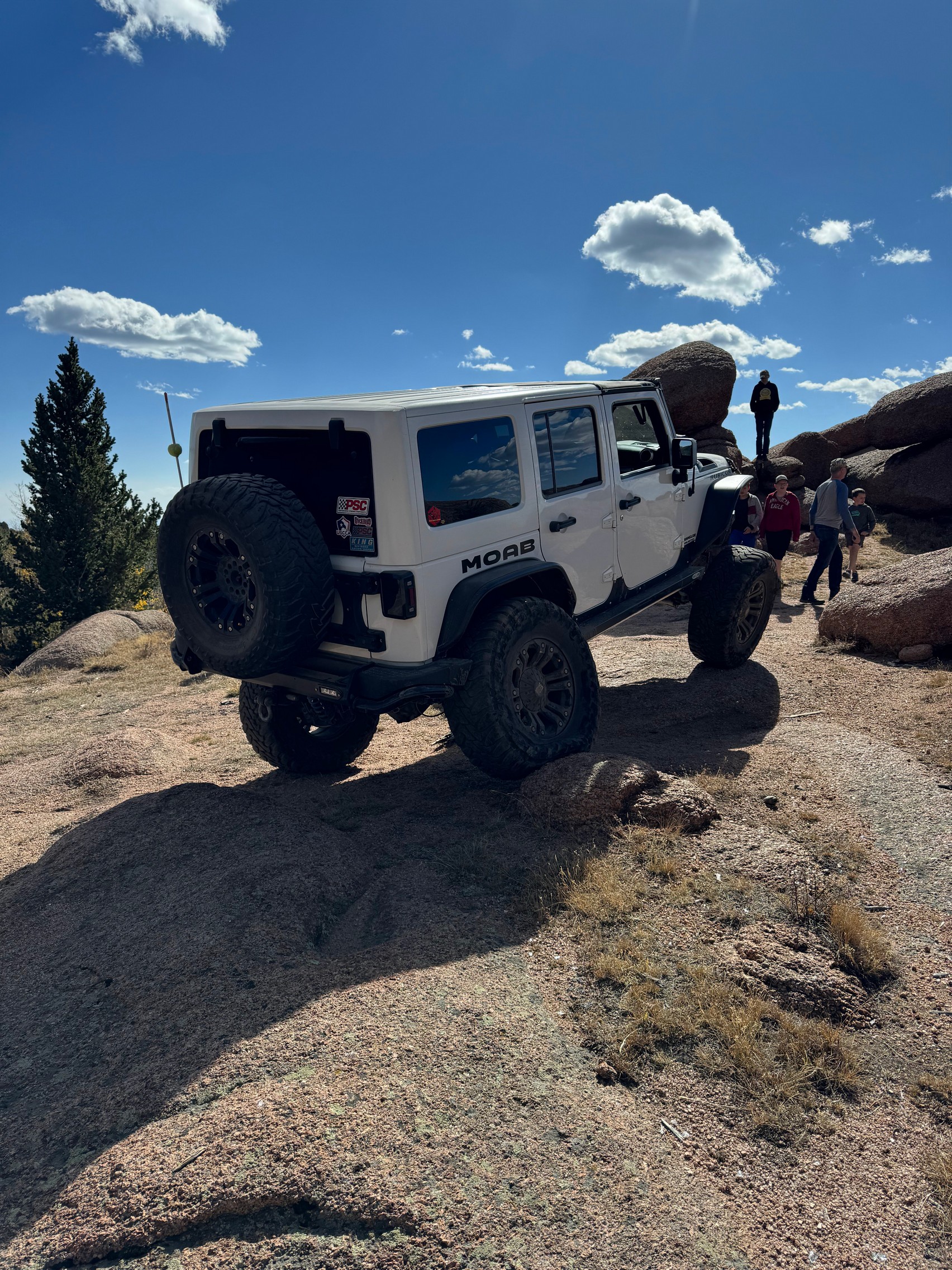
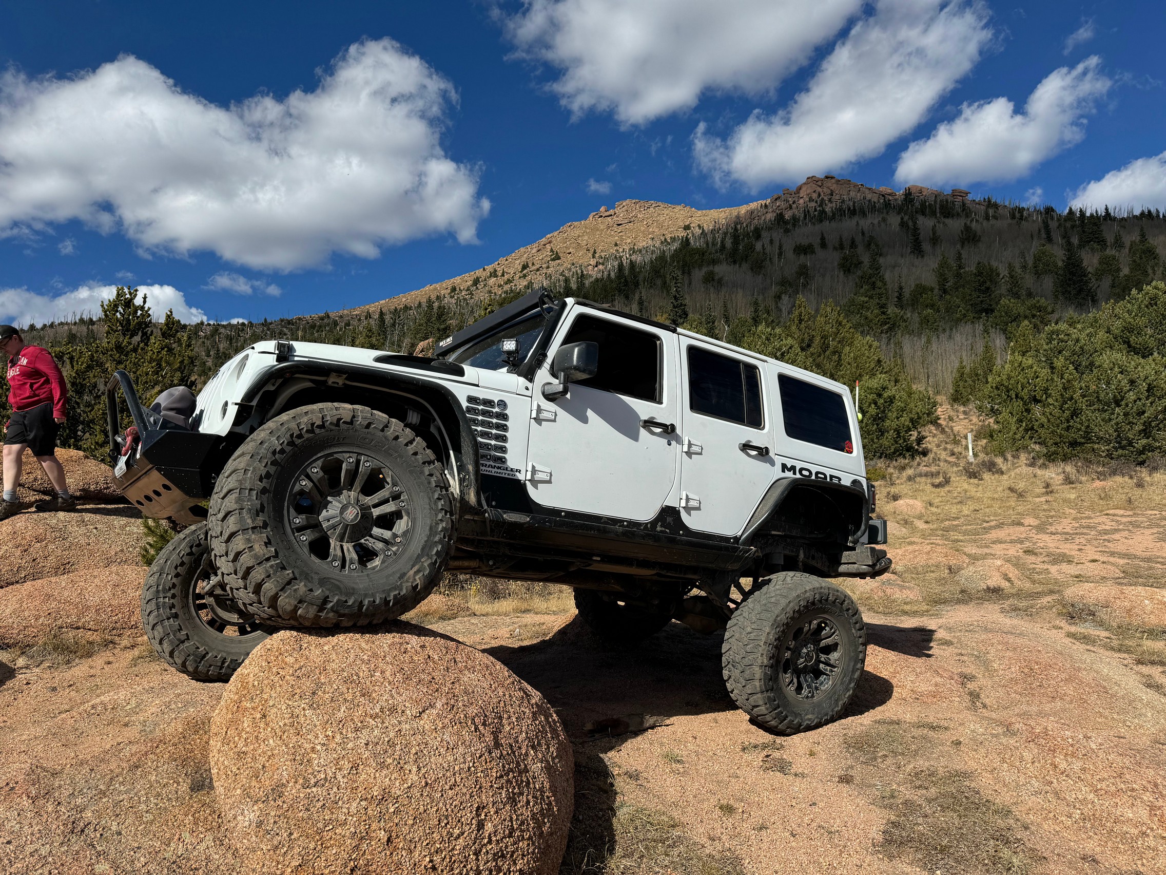
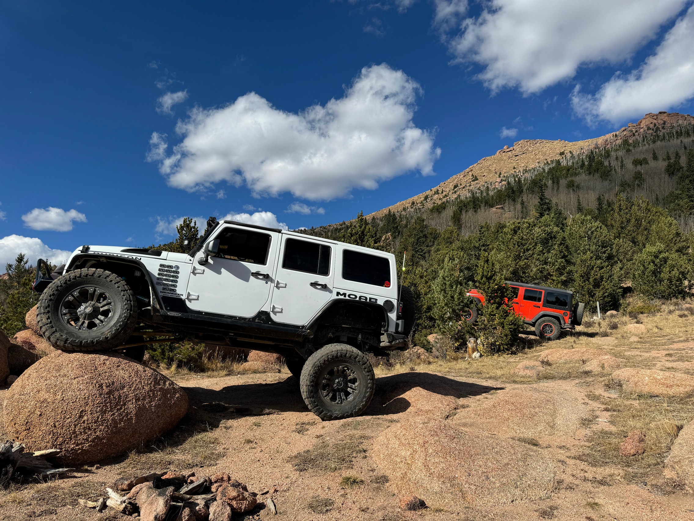
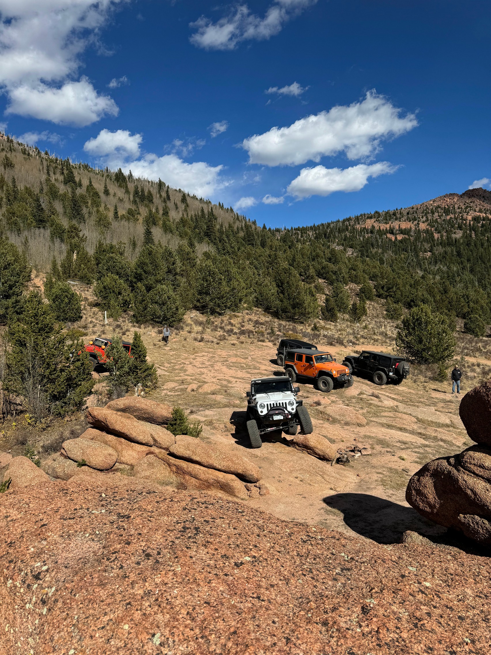
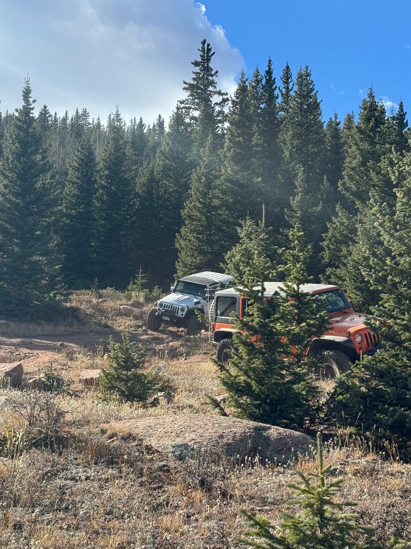
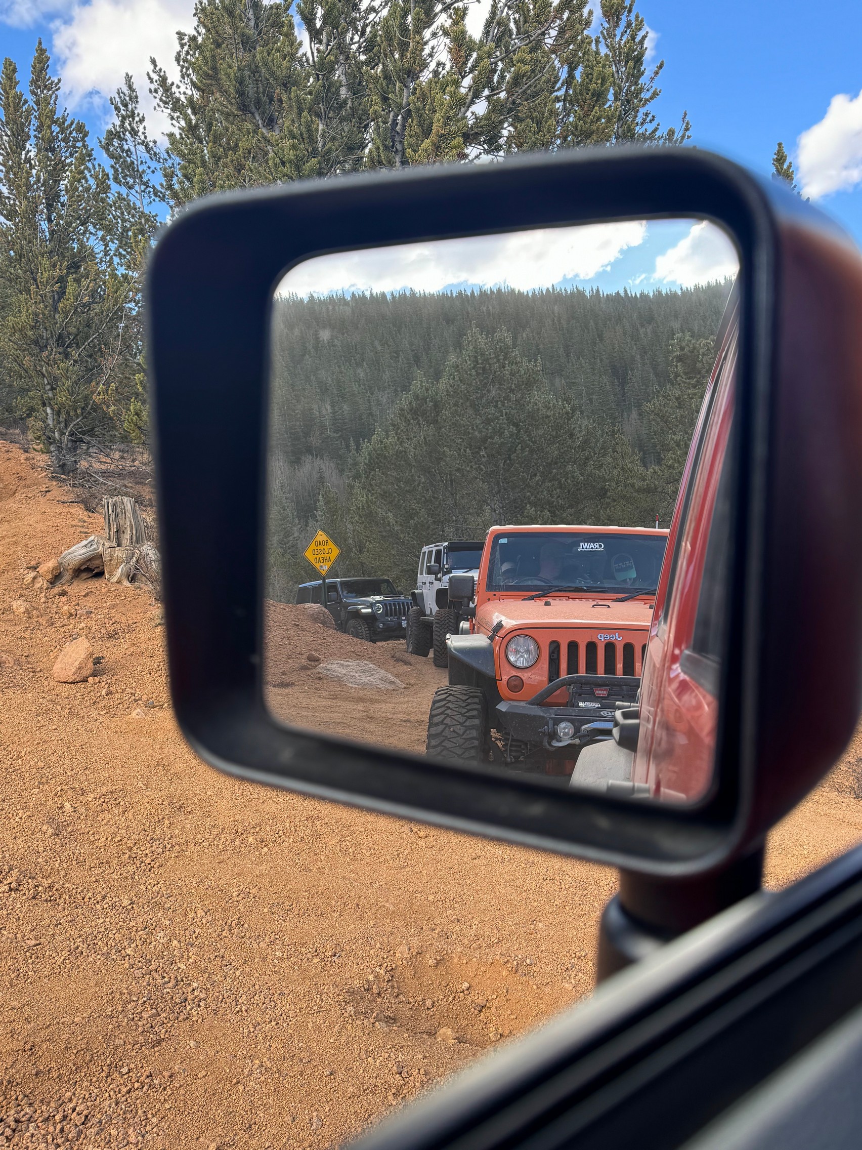
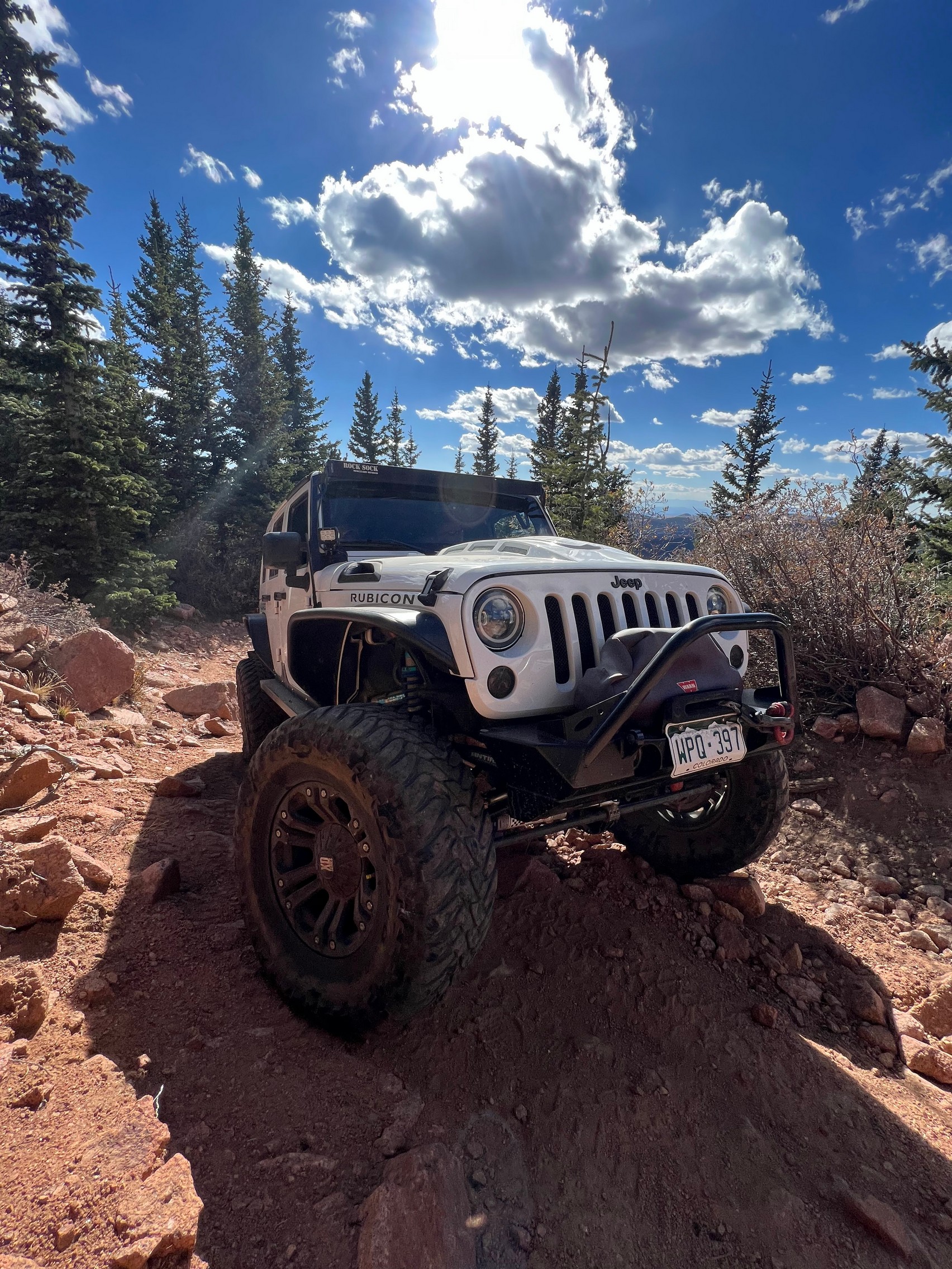
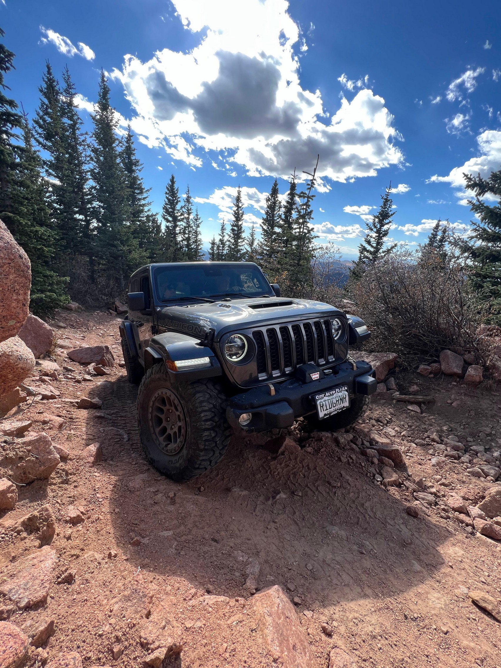
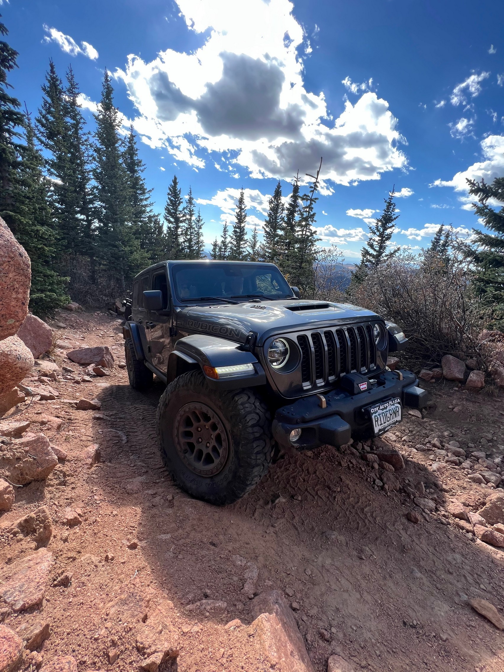
Upon arrival at the end of the trail, Matt and Callista both decided to park their Jeeps on the various rock formations at the end just for fun.
Going back up the trail was challenging but we went slow and took our time so there were no issues. The trail has gotten more eroded and more challenging over the years, and we had a great time.
Reports from Other Days: 3
Use the arrows or dots to flip through the previews of the other reports for Bull Park. Click one of them to read more and see all of the photos from that day.