TrailDamage.com

Photos, videos and information about 4x4 trails in Colorado and Utah

  • Trails
    • Colorado
    • Utah
  • Reports
    • Featured Photos
    • Featured Videos
    • Reports Calendar
  • Members
  • Search
  • Trail Damage Winners
  • FAQ
  • Community
  • Upcoming Events
  • Membership
  • Log In
  • Facebook
  • Instagram
  • RSS
  • Twitter
  • YouTube

Buford Road 180902

September 2, 2018 by Monica

Buford Road

Trail Run on September 2, 2018
Report and photos by Monica I., Trail Leader
View trail information for Buford Road

Walt S.
Gray 2022 Jeep Wrangler Unlimited Rubicon 392
Mike S.
Silver 2004 Jeep Wrangler Rubicon
Chad W.
Red 2014 Jeep Wrangler Unlimited Rubicon
Matt K.
White 2016 Jeep Wrangler Unlimited Rubicon

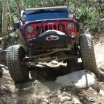
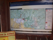
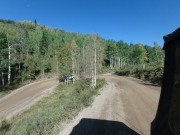
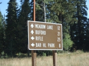
Our second day north of I-70 and Rifle would start in New Castle where we all met to gas up.  Then we headed north on Buford Road.  Right at the start, there was a sign noting that the road was closed at the Meadow Creek turnoff.  That was our first destination, so we were happy to see we'd at least be able to do that.  The Cabin Lake Fire had been right where the northern half of Buford Road was, so it was naturally closed.

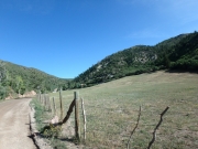
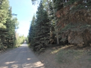
The start of the trail was mellow, a nice trail for a great morning.  Temperatures were just about perfect, and then the trail started up switchbacks.

At first, we thought it might be a good trail to take our motor homes back into the woods on, but the switchbacks were probably too tight and steep for that.  Still, there were many shorter trailers and trucks that could make it.

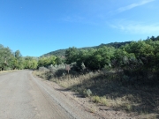
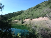
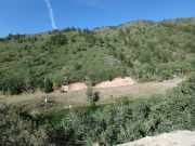
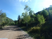
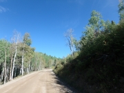
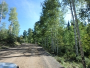
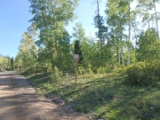
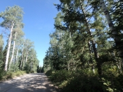
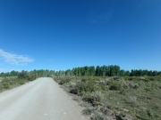
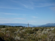
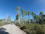
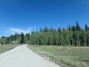
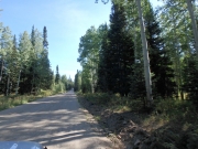
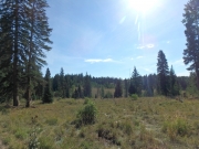
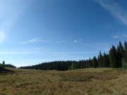
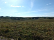
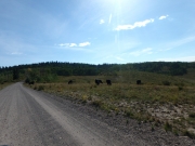
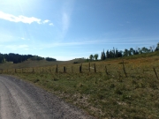
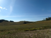
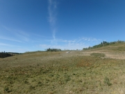
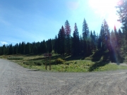
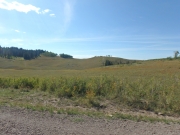
We started in pine trees that turned to aspens, and then we were up on the mesa.  There were big views under blue skies with very few clouds.

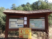
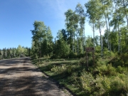
We stopped at the Meadow Creek trailhead to air down and read another sign about the fire.  This one said the trail was open all the way to Buford, and we saw people coming from that direction.  Someone stopped and we had a chat, and they told us to stay on Buford Road and not take any spurs, and we'd be fine.

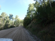
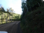
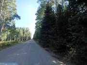
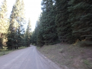
We had a long day on Meadow Creek and Blair Mountain, and then we were back on Buford Road.  Walt and Chad had taken Coffee Pot Road out, so Mike and Matt did the northern half of Buford Road.  There were thick stands of trees on both sides as it started heading downhill, and then we saw burned areas on both sides.

Trees were black, and the ground was covered in ash.  It was sad to see.  There were a few spurs, but we stayed on the main road like we were told.  When we got to the main road at the end, we turned around and headed back in.  Once we got to the end of Hay Flat, we took that over to Little Box Canyon and headed back to camp that way.

We were only at Rifle Falls a short time before Walt showed up after his long trip on Coffee Pot Road.  Was his option better?  We may never know!

OLYMPUS DIGITAL CAMERA
Join Us!
If you aren’t a Member or Subscriber, you can’t see all of the content on this site. Get membership information to see why this site is best when you join and log in

Information for Subscribers

When you log in you’ll see more information here:

  • Recent Community Forum posts
  • Recent polls
  • Upcoming Events you can attend
  • Links to online users

© 2000-2022 · TrailDamage.com · Terms and Conditions · About · Contact
Trail information is only accurate on the date posted. Trails may have changed or closed since that date. Use this information for historical purposes only.
Contact the Forest Service or Bureau of Land Management for up-to-date trail information.

/* ----------------------------------------- */ /* View slug: reports-other-reports-for-same-trail-slider - start */ /* ----------------------------------------- */ /* place the prev/next controls on the sides */ .td-transition-controls .wpv-filter-next-link, .td-transition-controls .wpv-filter-previous-link { border: none; font-size: 300%; position: absolute; top: 70px; } .td-transition-controls .wpv-filter-previous-link { left: 0; } .td-transition-controls .wpv-filter-next-link { right: 0; } /* center the page selector horizonatally */ .td-transition-controls ul.wpv_pagination_dots { text-align: center; margin-top: 10px; } /* center the page selector horizonatally */ .td-transition-controls ul.wpv_pagination_dots li.wpv_pagination_dots_item, .td-transition-controls .wpv_pagination_dots li a { display: inline-block; float: none; } /* remove the default styles */ .td-transition-controls .wpv_pagination_dots li a { text-decoration: none; border-bottom: none; } .td-slider-container { padding: 0 25px; margin-bottom: 20px; position: relative; width:100%; display:table; } .td-slides { position: relative; } .td-slides-image { float:left; display:table-cell; } .td-slides-image img { border:1px solid #c0c0c0; } .td-slides-content { padding:4px 4px 4px 10px; border-top:1px solid #c0c0c0; border-right:1px solid #c0c0c0; border-bottom:1px solid #c0c0c0; display:table-cell; height:227px; overflow:hidden; } .td-slides-content h3 { margin-top:8px; } .td-slides-leader { font-size:smaller; margin-top:4px; } /* ----------------------------------------- */ /* View slug: reports-other-reports-for-same-trail-slider - end */ /* ----------------------------------------- */
/* ----------------------------------------- */ /* Content Template: Template for a Single Report - start */ /* ----------------------------------------- */ .entry-header { display:none; } .entry-content h1 { margin-top:16px; padding-top:0; } h1 a { color:#222; } h1 a:hover { color:#666; } p.entry-meta { font-size:small; } #report-body-spacer { clear:both; width:100%; height:20px; } #addtoany-bar { margin-bottom:2em; text-align:center; } .category-reports .post-info .author, .post-info .date { display: none; } .addthis_recommended_horizontal { text-align:center !important; } /* ----------------------------------------- */ /* Content Template: Template for a Single Report - end */ /* ----------------------------------------- */ /* ----------------------------------------- */ /* Content Template: Loop item in REPORTS Runners - start */ /* ----------------------------------------- */ #runners-container { width:100%; clear:both; } .runner { border:1px solid #c0c0c0; margin:0 6px 6px 0; float:left; width:49%; height:81px; } .runner-image { float: left; } .runner-image img { margin:2px 10px 0 2px; height:75px; width:75px; } .runner-name { text-transform:uppercase; } .runner-name a { color:#222; } .runner-name a:hover { color:#666; } .runner-vehicle { font-size:small; } @media only screen and (max-width: 768px) { .runner { width:100%; } } /* ----------------------------------------- */ /* Content Template: Loop item in REPORTS Runners - end */ /* ----------------------------------------- */