Buckskin Joe
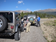
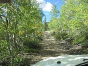
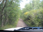
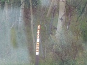
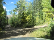
The Buckskin Joe trail was a new trail for all of us. We were anxious to hit the trailhead and explore new territory. After airing down we headed for County Road 10 and the turnoff on forest service road 449. We had a long day planned and we didn't do any exploring to find the old town of Buckskin Joe. Once we made the turn onto the trail, it was quite narrow and scenic. It appeared as we were driving through a tunnel of aspen trees.
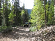
After a couple of switchbacks, we came to an intersection and headed straight. We made a mistake, and we should have gone left. After the turnaround we began our ascent up the trail. The trail was rocky and moderately steep in areas but easily doable with a stock 4x4 vehicle. We were having a good time, and it was great to be back on the trails again.
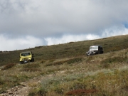
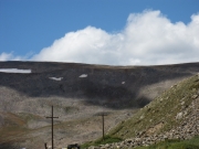
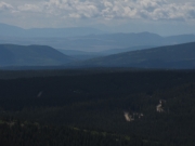
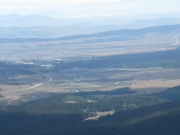
Once we made it above timberline, the views became quite grand. We could see a long way from the top. Off to the south we could see Fairplay, and we saw highway 285 work its way south all the way to Antero Reservoir. After a brief photo stop, we headed up the trail. Since this was a new trail we were expecting a dead end and having to turn around. However, when it appeared the trail did end, a closer look revealed that there was an obscure two-wheel track that kept going. We kept following the two-wheel track and ended up back on the main trail heading down. It was a pleasant surprise -- we don't like doubling back if we can help it.
On the way down we may have taken a different route than on the way up but all roads down ended up back on the main trail. Once back at the intersection where we made the wrong turn on the way up, we made a left and followed the trail down to County Road 8, made a right turn and headed on into Alma and from there up Mosquito Pass.
Next time, we would recommend that you take County Road 8 out of Alma as opposed to our route. This was a good trail that we am sure will be run again.


