Buckhorn Mesa
We had just come back out of Scharf Mesa East, hoping to find a way through to the Dolores River but not finding one. We knew that Hotel Mesa went all the way through because we took it to get out to DS Road. But how were we going to get back?
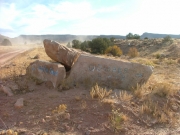
Monica knew there was another bet for a way through, a trail she had mapped out but not planned on for this trip. We headed out to give it a whirl. We had even seen the trailhead a few days prior, marked with big rocks. It showed promise!
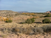
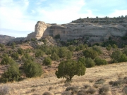
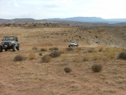
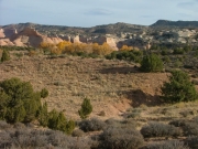
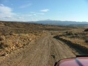
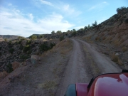
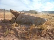
We got to the trailhead very easily, marked as it was. We followed the arrow on the big rock that pointed to the Dolores River. It took us up and over the ridge and soon we were on Buckhorn Mesa.
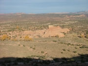
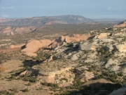
The trail was pretty mellow and easy. There was an overlook and we thought about it when we got to the big rock marking it, but we were running out of light. We all wanted to see the other half of the Scharf Mesa trail, and we still had another river crossing on the Dolores River trail. We were on a mission, so we skipped the overlook this time. We knew we'd be back again in the future, so we'd just have to wait until then.
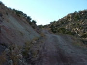
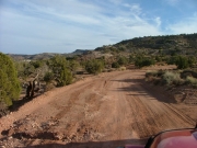
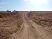
After that intersection, the trail was graded and smooth. That made progress very quick and easy. It wasn't long at all before we were back at the intersections with Hotel Mesa, and then we were at the Scharf Mesa West trailhead.
Now that we've mapped out the area, we know to take DS Road from Grand Junction, then Buckhorn Mesa, and then finish out Dolores River. Almost everything is easy, and a lot of it is graded now. Nice!

