TrailDamage.com

Photos, videos and information about 4x4 trails in Colorado and Utah

  • Trails
    • Colorado
    • Utah
  • Reports
    • Featured Photos
    • Featured Videos
    • Reports Calendar
  • Members
  • Search
  • Trail Damage Winners
  • FAQ
  • Community
  • Upcoming Events
  • Membership
  • Log In
  • Facebook
  • Instagram
  • RSS
  • Twitter
  • YouTube

Black Dumps 130928

September 28, 2013 by Monica

Black Dumps

Trail Run on September 28, 2013
Report and photos by Monica I., Trail Leader
View trail information for Black Dumps

Bill S.
Khaki 2004 Jeep Wrangler Rubicon
Walt S.
Gray 2018 Jeep Wrangler Unlimited Rubicon
Matt K.
White 2016 Jeep Wrangler Unlimited Rubicon
Monica I.
Red 2010 Jeep Wrangler Rubicon
Roger R.
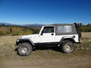
White 2005 Jeep Wrangler Unlimited Rubicon
Julie M.
Green 2012 Jeep Wrangler Unlimited Rubicon

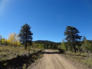
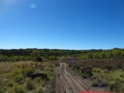
We were at the four-way intersection at the end of Bassam Park and we turned south to see Black Dumps. We expected to see more black earth and rock than we did. The trail turned from an easy road to a trail as we headed in.

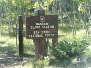
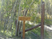
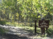
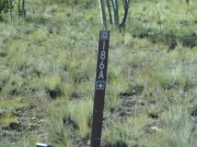
We turned to see what was on 186.A and it soon dead-ended at a locked gate and a sign for the Bassam Guard Station. What were they guarding? It was all a mystery until we got home and found out that it used to be a guard station for people who guarded the forest from poachers and recorded weather. Not a bad job! We couldn't get any closer to the cabin so we turned around and headed back to the main trail.

When we came to the intersection we saw a fresh sign pointing the way to firewood. We went the other way and headed in a counterclockwise circle around the loop.

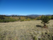
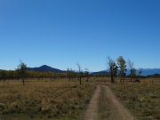
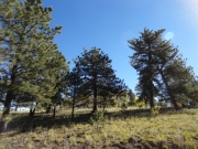
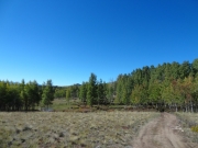
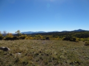
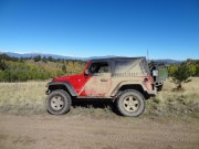
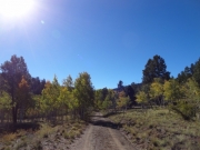
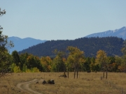
The views were nice and it was a relaxing drive. We came to a wide open area that turned out to be above the Elk Mountain Ranch, and the views were really nice. We pulled over to take a break and some pictures, and a truck passed us going the other way.

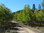
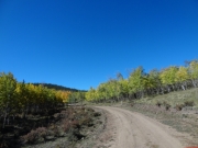
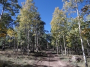
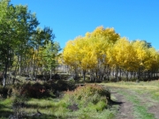
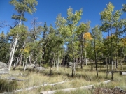
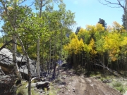
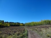
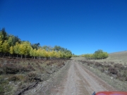
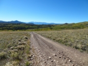
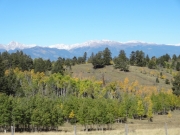
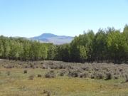
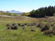
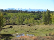
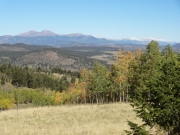
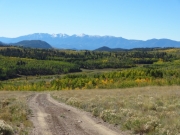
We came to a gate just after this spot and we opened it to pass through, closing it after we passed. Then we stopped to pick our jaws up off of the ground. It was one of the most beautiful views we'd seen in a long time. There were layers of valleys, hills, and mountains in front of us, all under a clear, blue sky. The valley directly below us was filled to the brim with aspen trees with yellow and green leaves sparkling in the sunshine. Everyone was grinning -- this is why we had Jeeps and maps. What a great find.

There were a couple more gates, and we found ourselves in a fairly remote area. The trail had been rerouted from the old trail in order to avoid most of the private property in the area, but we still passed through a bit of it. It was the northwest corner of a huge area of private land, and we were thankful the trail continued. We dipped down into a cool area of darker soil and some indication of previous mining. It was very scenic.

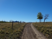
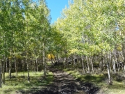
After that, the trail was easier though it wound back and forth quite a bit. The farther along we got we saw more and more people with trucks and chainsaws collecting firewood. We passed the trailhead for Herring Park, saving that for another day.

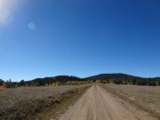
When we got back to the intersection we headed back to the trailhead. This ended up being a nice trail with some of the best views in the area.

aspens_part_1
aspens_part_2
aspens_part_3
aspens_part_4
aspens_part_5
aspens_part_6
aspens_part_7
bassam_guard_station_part_1
bassam_guard_station_part_2
bassam_guard_station_part_3
big_view
blue_sky
brown_dirt
bumpy
carsonite
collegiate_peaks
desolate
distant_hills
fence_line
green
healthy_trees
into_trees
meadow
mellow
monica_on_the_trail
open_space
pond
puddle
roger_on_the_trail
rutted
see_for_miles
shady
signage
start_of_the_trail
to_bassam_guard_station_part_1
to_bassam_guard_station_part_2
trail_with_a_view
two_track
Join Us!
If you aren’t a Member or Subscriber, you can’t see all of the content on this site. Get membership information to see why this site is best when you join and log in
Information for Subscribers

When you log in you’ll see more information here:

  • Recent Community Forum posts
  • Recent polls
  • Upcoming Events you can attend
  • Links to online users

© 2000-2021 · TrailDamage.com · Terms and Conditions · About · Contact
Trail information is only accurate on the date posted. Trails may have changed or closed since that date. Use this information for historical purposes only.
Contact the Forest Service or Bureau of Land Management for up-to-date trail information.

/* ----------------------------------------- */ /* View slug: reports-other-reports-for-same-trail-slider - start */ /* ----------------------------------------- */ /* place the prev/next controls on the sides */ .td-transition-controls .wpv-filter-next-link, .td-transition-controls .wpv-filter-previous-link { border: none; font-size: 300%; position: absolute; top: 70px; } .td-transition-controls .wpv-filter-previous-link { left: 0; } .td-transition-controls .wpv-filter-next-link { right: 0; } /* center the page selector horizonatally */ .td-transition-controls ul.wpv_pagination_dots { text-align: center; margin-top: 10px; } /* center the page selector horizonatally */ .td-transition-controls ul.wpv_pagination_dots li.wpv_pagination_dots_item, .td-transition-controls .wpv_pagination_dots li a { display: inline-block; float: none; } /* remove the default styles */ .td-transition-controls .wpv_pagination_dots li a { text-decoration: none; border-bottom: none; } .td-slider-container { padding: 0 25px; margin-bottom: 20px; position: relative; width:100%; display:table; } .td-slides { position: relative; } .td-slides-image { float:left; display:table-cell; } .td-slides-image img { border:1px solid #c0c0c0; } .td-slides-content { padding:4px 4px 4px 10px; border-top:1px solid #c0c0c0; border-right:1px solid #c0c0c0; border-bottom:1px solid #c0c0c0; display:table-cell; height:227px; overflow:hidden; } .td-slides-content h3 { margin-top:8px; } .td-slides-leader { font-size:smaller; margin-top:4px; } /* ----------------------------------------- */ /* View slug: reports-other-reports-for-same-trail-slider - end */ /* ----------------------------------------- */
/* ----------------------------------------- */ /* Content Template: Template for a Single Report - start */ /* ----------------------------------------- */ .entry-header { display:none; } .entry-content h1 { margin-top:16px; padding-top:0; } h1 a { color:#222; } h1 a:hover { color:#666; } p.entry-meta { font-size:small; } #report-body-spacer { clear:both; width:100%; height:20px; } #addtoany-bar { margin-bottom:2em; text-align:center; } .category-reports .post-info .author, .post-info .date { display: none; } .addthis_recommended_horizontal { text-align:center !important; } /* ----------------------------------------- */ /* Content Template: Template for a Single Report - end */ /* ----------------------------------------- */ /* ----------------------------------------- */ /* Content Template: Loop item in REPORTS Runners - start */ /* ----------------------------------------- */ #runners-container { width:100%; clear:both; } .runner { border:1px solid #c0c0c0; margin:0 6px 6px 0; float:left; width:49%; height:81px; } .runner-image { float: left; } .runner-image img { margin:2px 10px 0 2px; height:75px; width:75px; } .runner-name { text-transform:uppercase; } .runner-name a { color:#222; } .runner-name a:hover { color:#666; } .runner-vehicle { font-size:small; } @media only screen and (max-width: 768px) { .runner { width:100%; } } /* ----------------------------------------- */ /* Content Template: Loop item in REPORTS Runners - end */ /* ----------------------------------------- */