Beaver Ridge
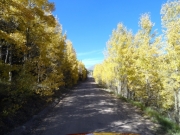
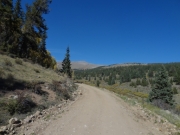
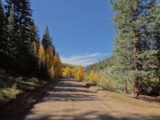
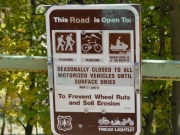
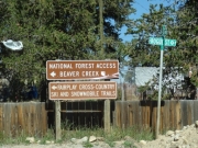
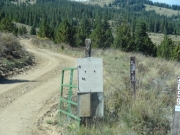
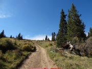
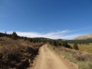
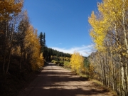
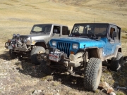
After finishing Crooked Creek we drove through Fairplay to get to the Beaver Ridge trailhead. We were planning on running the trail in the opposite direction to do some exploring. It was fun in that direction, though we thought it would probably be more fun in the other direction. The start of the trail was really easy, so we did the little side loop made by forest service road 184.
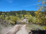
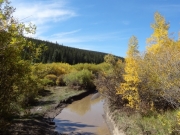
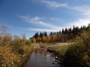
It was a good loop, especially because it got us off of the easy, dirt road. It ended pretty quickly as we crossed Beaver Creek. We saw a few people on ATVs and everyone seemed happy. The weather was perfect, so that just made sense.
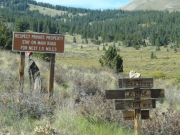
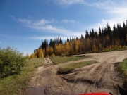
We continued north on 659 and came to the "Y" intersection marked "1" or "2." Two people on an ATV were there, but they didn't know where "1" went. "2" seemed more promising so we headed off that way. It turned out to be a good choice. Those trail numbers were weird.
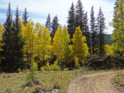
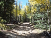
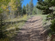
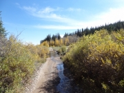
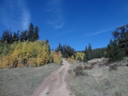
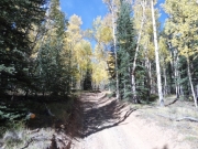
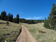
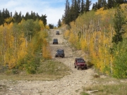
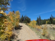
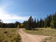
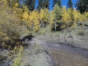
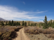
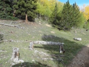
The trail got less maintained after that point, which was good. Still, nothing was too challenging. There were a few rockier sections, but it was mostly the scenery we were enjoying. We came to the intersection with the trail we'd take out, and we kept heading north.
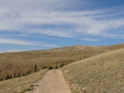
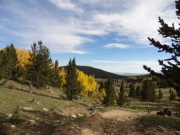
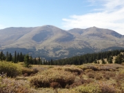
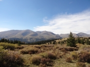
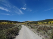
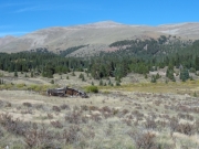
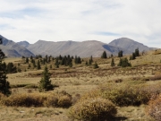
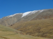
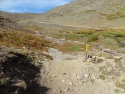
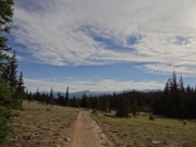
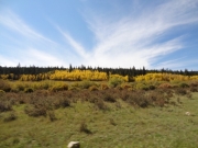
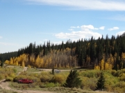
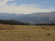
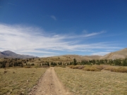
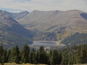
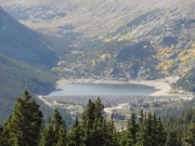
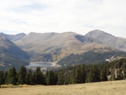
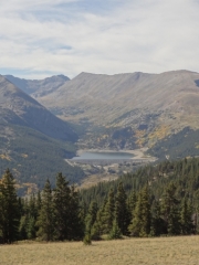
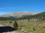
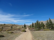
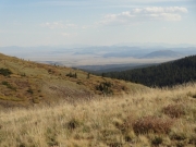
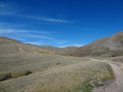
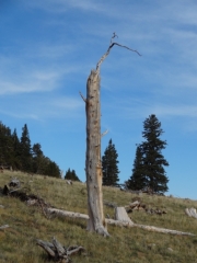
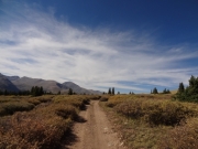
The trail just opened up, and the views were really amazing. We were on the ridge high above highway 9, and we could see many mountains around us. We all stopped to snap a lot of pictures when we could see Montgomery Reservoir, and that helped everyone get their bearings. Bryan has a cabin nearby, and they were really enjoying showing the trail to us. It was definitely chilly and windy, but it was still perfect.
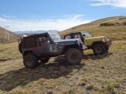
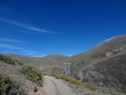
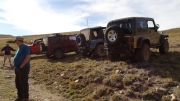
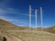
We turned to follow the powerlines more closely, even driving next to a big power pole system at one point. It was scenic as we followed the ridge around to the end of the trail where we found two people on an ATV just enjoying the scenery. We parked and got out to chat.
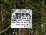
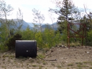
They said the mine was filled with water so we didn't bother walking out to it. It was pretty chilly and we still had more miles to cover, so we decided we'd walk out there a different time. It was a really nice area, and we hung out for a bit.
We finally headed back out, and this time we took forest service road 441 to head out. That took us through High Park, and it was scenic all the way out. There was a point at a 4-way intersection that was a little confusing, but we just crossed it and kept going south to stay on the main road.
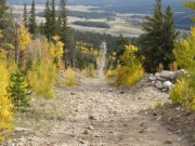
We expected switchbacks at the end, and that's what everyone's GPS units told us. But the road went straight through them on a big, rocky descent. It would be fun to come up, so we'd go the other way next time. We had to figure out what our plans were, so we stopped at the bottom of the hill where the trail was wide. Bryan had to go to his cabin so they would meet us later for a late dinner. Matt needed to head for home. The rest of us wanted to see one more trail, so we kept going as we all split up. That was a fun trail, and it was very scenic, so we'd be doing it again in the future.

