TrailDamage.com

Photos, videos and information about 4x4 trails in Colorado and Utah

  • Trails
    • Colorado
    • Utah
  • Reports
    • Featured Photos
    • Featured Videos
    • Reports Calendar
  • Members
  • Search
  • Trail Damage Winners
  • FAQ
  • Community
  • Upcoming Events
  • Membership
  • Log In
  • Facebook
  • Instagram
  • RSS
  • Twitter
  • YouTube

Bald Mountain Loop 130929

September 29, 2013 by Monica

Bald Mountain Loop

Trail Run on September 29, 2013
Report and photos by Monica I., Trail Leader
View trail information for Bald Mountain Loop

Monica I.
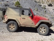
Red 2010 Jeep Wrangler Rubicon
Julie M.
Green 2012 Jeep Wrangler Unlimited Rubicon
Bill S.
Yellow 2020 Jeep Wrangler Rubicon

How have we not known about this trail until now? We've been on Chinaman Gulch so many times, and we didn't know there was another fun trail right next door. Better late than never! This trail should always be combined with Chinaman Gulch, in our opinion. It's short, but it's sweet.

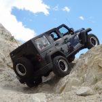
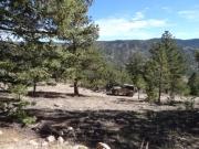
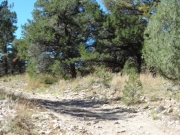
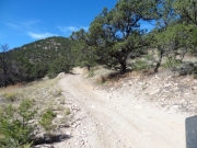
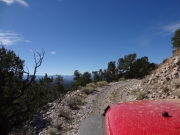
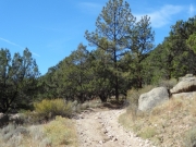
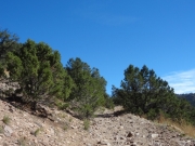
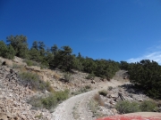
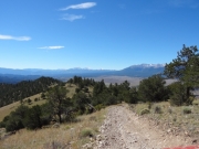
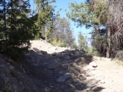
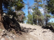
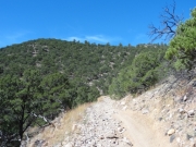
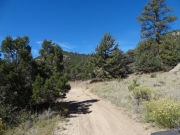
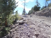
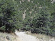
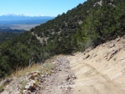
We did the beginning of Bald Mountain Gulch and then headed up the hill on Bald Mountain Loop. The trail would go around the mountain with a short spur to the top, and we weren't sure what to expect. Right from the start, it was a great climb on loose rocks and dirt. In some spots, it even got pretty narrow and tippy. We were enjoying the climb in the sunshine.

When we got to the intersection we decided that the side with the switchbacks would be the most fun uphill so we kept straight on the trail to do the loop in the counterclockwise direction. That ended up being a good guess. The switchbacks on the way up were a blast.

When we got to the really tight switchback we drove right by it to the switchback turnaround. For a minute, we thought the trail had ended. But then we realized it was just a wide and flat spot to turn around in order to make the switchback easier and safer. Either way, the views were nice and we enjoyed the little stop.

One of the final switchbacks on the way up even had some good-sized rocks in it. It was a fun climb all the way to the end. Then we took the spur that went to the top of the mountain where we parked for pictures.

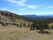
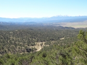
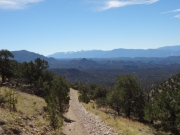
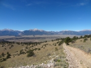
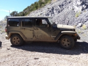
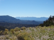
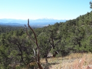
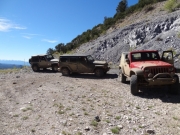
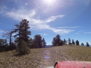
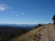
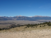
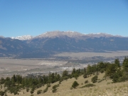
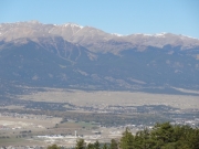
It was really, really windy and much cooler. Julie got out for a bit to take pictures, but the rest of us took our photos from our Jeeps. The scenery was very impressive. The only bad thing about Chinaman Gulch is that you rarely get above the trees to see the scenery, so it was nice to have it here on top of the mountain.

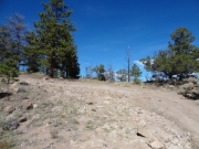
The trek down was pretty straightforward. We saw an old track make an illegal trip down from the top, but luckily it was closed with a carsonite sign at the bottom. They probably needed to fence it off, though, on both ends. It didn't look like the bald hill would recover any time soon, either way.

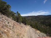
Going downhill, the track was very straight and steep. It was straight right up until when we met the main trail again. We were glad we did the loop in the direction we did.

When we were almost out we all commented about how lucky we were not to meet other vehicles on the trail. In most places, it would even be difficult to pass a dirt bike. It was definitely narrow. But it was definitely fun!

bald
big_view
bill_muddy
bill_on_the_trail
bumpy
carsonite
climbing
curve
downhill
early_climb
grassy_hill
heading_down
julie_muddy
julie_on_the_trail
layers
loose
monica_muddy
mountains_in_the_distance
narrow
receding_hair_line
rocks
rocky_corner
shelf
start_of_the_trail
steep
switchback_turnaround
switchback
through_trees
tippy
to_the_top
trail_cut
trail_with_a_view
view_from_the_top_part_1
view_from_the_top_part_2
view_from_the_top_part_3
view_from_the_top_part_4
view_from_the_top_part_5
view_from_the_top_part_6
well_used
Join Us!
If you aren’t a Member or Subscriber, you can’t see all of the content on this site. Get membership information to see why this site is best when you join and log in

Information for Subscribers

When you log in you’ll see more information here:

  • Recent Community Forum posts
  • Recent polls
  • Upcoming Events you can attend
  • Links to online users

© 2000-2022 · TrailDamage.com · Terms and Conditions · About · Contact
Trail information is only accurate on the date posted. Trails may have changed or closed since that date. Use this information for historical purposes only.
Contact the Forest Service or Bureau of Land Management for up-to-date trail information.

/* ----------------------------------------- */ /* View slug: reports-other-reports-for-same-trail-slider - start */ /* ----------------------------------------- */ /* place the prev/next controls on the sides */ .td-transition-controls .wpv-filter-next-link, .td-transition-controls .wpv-filter-previous-link { border: none; font-size: 300%; position: absolute; top: 70px; } .td-transition-controls .wpv-filter-previous-link { left: 0; } .td-transition-controls .wpv-filter-next-link { right: 0; } /* center the page selector horizonatally */ .td-transition-controls ul.wpv_pagination_dots { text-align: center; margin-top: 10px; } /* center the page selector horizonatally */ .td-transition-controls ul.wpv_pagination_dots li.wpv_pagination_dots_item, .td-transition-controls .wpv_pagination_dots li a { display: inline-block; float: none; } /* remove the default styles */ .td-transition-controls .wpv_pagination_dots li a { text-decoration: none; border-bottom: none; } .td-slider-container { padding: 0 25px; margin-bottom: 20px; position: relative; width:100%; display:table; } .td-slides { position: relative; } .td-slides-image { float:left; display:table-cell; } .td-slides-image img { border:1px solid #c0c0c0; } .td-slides-content { padding:4px 4px 4px 10px; border-top:1px solid #c0c0c0; border-right:1px solid #c0c0c0; border-bottom:1px solid #c0c0c0; display:table-cell; height:227px; overflow:hidden; } .td-slides-content h3 { margin-top:8px; } .td-slides-leader { font-size:smaller; margin-top:4px; } /* ----------------------------------------- */ /* View slug: reports-other-reports-for-same-trail-slider - end */ /* ----------------------------------------- */
/* ----------------------------------------- */ /* Content Template: Template for a Single Report - start */ /* ----------------------------------------- */ .entry-header { display:none; } .entry-content h1 { margin-top:16px; padding-top:0; } h1 a { color:#222; } h1 a:hover { color:#666; } p.entry-meta { font-size:small; } #report-body-spacer { clear:both; width:100%; height:20px; } #addtoany-bar { margin-bottom:2em; text-align:center; } .category-reports .post-info .author, .post-info .date { display: none; } .addthis_recommended_horizontal { text-align:center !important; } /* ----------------------------------------- */ /* Content Template: Template for a Single Report - end */ /* ----------------------------------------- */ /* ----------------------------------------- */ /* Content Template: Loop item in REPORTS Runners - start */ /* ----------------------------------------- */ #runners-container { width:100%; clear:both; } .runner { border:1px solid #c0c0c0; margin:0 6px 6px 0; float:left; width:49%; height:81px; } .runner-image { float: left; } .runner-image img { margin:2px 10px 0 2px; height:75px; width:75px; } .runner-name { text-transform:uppercase; } .runner-name a { color:#222; } .runner-name a:hover { color:#666; } .runner-vehicle { font-size:small; } @media only screen and (max-width: 768px) { .runner { width:100%; } } /* ----------------------------------------- */ /* Content Template: Loop item in REPORTS Runners - end */ /* ----------------------------------------- */