TrailDamage.com

Photos, videos and information about 4x4 trails in Colorado and Utah

  • Trails
    • Colorado
    • Utah
  • Reports
    • Featured Photos
    • Featured Videos
    • Reports Calendar
  • Members
  • Search
  • Trail Damage Winners
  • FAQ
  • Community
  • Upcoming Events
  • Membership
  • Log In
  • Facebook
  • Instagram
  • RSS
  • Twitter
  • YouTube

Bald Mountain Gulch 130929

September 29, 2013 by Monica

Bald Mountain Gulch

Trail Run on September 29, 2013
Report and photos by Monica I., Trail Leader
View trail information for Bald Mountain Gulch

Bill S.
Yellow 2020 Jeep Wrangler Rubicon
Monica I.
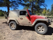
Red 2010 Jeep Wrangler Rubicon
Julie M.
Green 2012 Jeep Wrangler Unlimited Rubicon

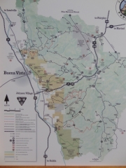
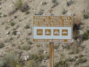
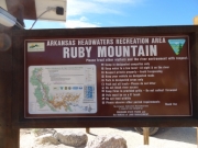
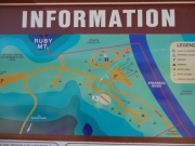
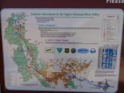
We were wrapping up our extended weekend in Buena Vista and we checked out of the KOA to meet at the gas station in Johnson Village. It looked like it was going to be a fantastic day. We had two more trails in the Fourmile Area to see before we drove back to Denver. It was a quick and easy trip to get to the Ruby Mountain Campground where we stopped to check out the kiosk and find the trailhead. We talked about airing down but then we decided to see how long we could take it with aired-up tires. Everyone was tired of airing up and down, so we waited.

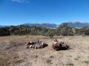
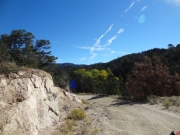
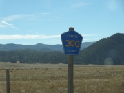
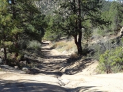
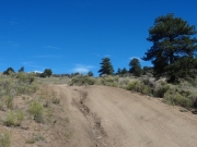
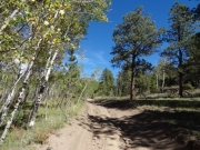
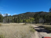
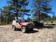
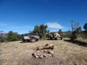
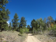
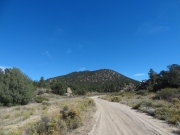
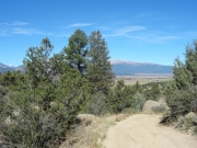
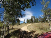
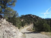
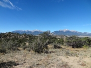
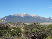
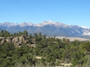
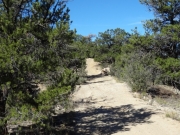
The first part of the trail was easy sand, so it seemed like staying aired up would work out. Then we decided to take forest service road 300.C to see where it went. It ended up being a highlight of our morning as it took us on a little-used track through the trees. It was eroded in spots and all fun, and we talked again about airing down. We stopped at a campfire ring and wide spot to take in the views and decided to wait it out a bit longer.

Surprisingly, the spur popped us back out on 300 and in the midst of a group of cows we had passed earlier. We turned left and then we were back in the Ruby Mountain Campground. After a short discussion we decided to air down, finally, and that ended up being a good decision later on Bald Mountain Loop.

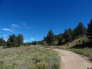
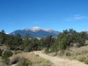
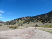
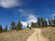
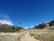
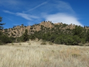
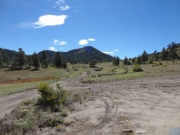
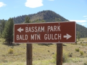
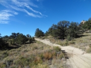
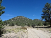
We started back into the trail again, and then we drove by the Bald Mountain Loop trailhead. We did that trail and came right back, and then kept heading north. The trail was nice and relaxing, with good scenery and mellow sections. It reminded us of the wash on Chinaman Gulch.

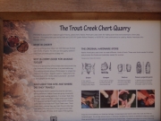
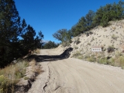
When we got to Arnold Gulch we decided to save that spur for another day. It looked pretty mellow. We continued on and each of us drove by the chert quarry sign to read it. Interesting, but no one got out to explore.

Soon after, we stopped at a wide campsite for lunch. It was windy, but the sunshine was nice. Even after four days of wheeling we didn't have enough of the Colorado sunshine we all loved so much.

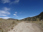
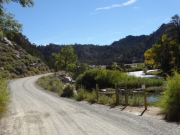
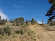
After lunch, the trail got bumpier and a bit more interesting, but it wasn't difficult. It wasn't long, though, before we were at the other end. We aired up there and got ready to head back, and then we made our way along the easy dirt roads to the highway.

The trip home along highway 285 was very, very slow. We think that a festival had slowed things down. Either way, we had sunshine to enjoy so it wasn't all bad. It was a great way to end a fun weekend.

arnold_gulch_sign
arnold_gulch
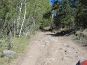
aspens
autumn
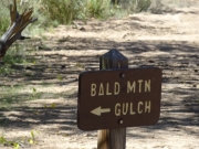
bald_mountain_gulch_sign
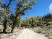
big_trees
blue_sky
bumpy
campsite_with_a_view
chert_quarry
chunks
climb
contrails
county_road_sign
curve
desert_conditions
eroded_spur
eroded
fourmile_map
fourmile_sign
leaning_trees
monica_muddy
mount_princeton
mountain_through_trees
northern_end
open_area
parked_at_lunch
parked_at_the_campsite
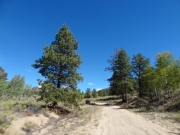
pines_and_aspens
puffy_clouds
random_tall_tree
rock_formations
rolling_descent
rubicon
ruby_mountain_kiosk_part_1
ruby_mountain_kiosk_part_2
ruby_mountain_kiosk_part_3
ruby_mountain_kiosk_part_4
ruby_mountain
sandy_start
scenic_northern_end
scenic
sign_at_bassam_park
snake_trail
spur_start
start_of_the_trail
to_the_campground
unnamed_hill
uphill
view_from_the_campsite_part_1
view_from_the_campsite_part_2
view_from_the_campsite_part_3
wavy
whoopdeedoos
Join Us!
If you aren’t a Member or Subscriber, you can’t see all of the content on this site. Get membership information to see why this site is best when you join and log in

Information for Subscribers

When you log in you’ll see more information here:

  • Recent Community Forum posts
  • Recent polls
  • Upcoming Events you can attend
  • Links to online users

© 2000-2022 · TrailDamage.com · Terms and Conditions · About · Contact
Trail information is only accurate on the date posted. Trails may have changed or closed since that date. Use this information for historical purposes only.
Contact the Forest Service or Bureau of Land Management for up-to-date trail information.

/* ----------------------------------------- */ /* View slug: reports-other-reports-for-same-trail-slider - start */ /* ----------------------------------------- */ /* place the prev/next controls on the sides */ .td-transition-controls .wpv-filter-next-link, .td-transition-controls .wpv-filter-previous-link { border: none; font-size: 300%; position: absolute; top: 70px; } .td-transition-controls .wpv-filter-previous-link { left: 0; } .td-transition-controls .wpv-filter-next-link { right: 0; } /* center the page selector horizonatally */ .td-transition-controls ul.wpv_pagination_dots { text-align: center; margin-top: 10px; } /* center the page selector horizonatally */ .td-transition-controls ul.wpv_pagination_dots li.wpv_pagination_dots_item, .td-transition-controls .wpv_pagination_dots li a { display: inline-block; float: none; } /* remove the default styles */ .td-transition-controls .wpv_pagination_dots li a { text-decoration: none; border-bottom: none; } .td-slider-container { padding: 0 25px; margin-bottom: 20px; position: relative; width:100%; display:table; } .td-slides { position: relative; } .td-slides-image { float:left; display:table-cell; } .td-slides-image img { border:1px solid #c0c0c0; } .td-slides-content { padding:4px 4px 4px 10px; border-top:1px solid #c0c0c0; border-right:1px solid #c0c0c0; border-bottom:1px solid #c0c0c0; display:table-cell; height:227px; overflow:hidden; } .td-slides-content h3 { margin-top:8px; } .td-slides-leader { font-size:smaller; margin-top:4px; } /* ----------------------------------------- */ /* View slug: reports-other-reports-for-same-trail-slider - end */ /* ----------------------------------------- */
/* ----------------------------------------- */ /* Content Template: Template for a Single Report - start */ /* ----------------------------------------- */ .entry-header { display:none; } .entry-content h1 { margin-top:16px; padding-top:0; } h1 a { color:#222; } h1 a:hover { color:#666; } p.entry-meta { font-size:small; } #report-body-spacer { clear:both; width:100%; height:20px; } #addtoany-bar { margin-bottom:2em; text-align:center; } .category-reports .post-info .author, .post-info .date { display: none; } .addthis_recommended_horizontal { text-align:center !important; } /* ----------------------------------------- */ /* Content Template: Template for a Single Report - end */ /* ----------------------------------------- */ /* ----------------------------------------- */ /* Content Template: Loop item in REPORTS Runners - start */ /* ----------------------------------------- */ #runners-container { width:100%; clear:both; } .runner { border:1px solid #c0c0c0; margin:0 6px 6px 0; float:left; width:49%; height:81px; } .runner-image { float: left; } .runner-image img { margin:2px 10px 0 2px; height:75px; width:75px; } .runner-name { text-transform:uppercase; } .runner-name a { color:#222; } .runner-name a:hover { color:#666; } .runner-vehicle { font-size:small; } @media only screen and (max-width: 768px) { .runner { width:100%; } } /* ----------------------------------------- */ /* Content Template: Loop item in REPORTS Runners - end */ /* ----------------------------------------- */