TrailDamage.com

Photos, videos and information about 4x4 trails in Colorado and Utah

  • Trails
    • Colorado
    • Utah
  • Reports
    • Featured Photos
    • Featured Videos
    • Reports Calendar
  • Members
  • Search
  • Trail Damage Winners
  • FAQ
  • Community
  • Upcoming Events
  • Membership
  • Log In
  • Facebook
  • Instagram
  • RSS
  • Twitter
  • YouTube

Arch Canyon 111015

October 15, 2011 by Monica

Arch Canyon

Trail Run on October 15, 2011
Report and photos by Monica I., Trail Leader
View trail information for Arch Canyon

Monica I.
Red 2010 Jeep Wrangler Rubicon
Hoa Q.
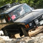
Black 1995 Land Rover Range Rover
Mike S.
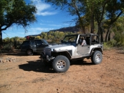
Silver 2004 Jeep Wrangler Rubicon

Sometimes when we're on vacation it's hard not to stay up too late. Friday night was our late night so we pushed our meeting time back an hour to get more sleep. Mike lost his camera the night before so he left early to go look for it (and find it on the trail). We got a late start but we made it to the trail and we were looking forward to a fun day.

Monica and Walt tried to do Arch Canyon the year before but it was just after a lot of rain and the mud was impossible to get through. Monica had to winch herself out of it twice (her JK is still at stock height). So this year we were hoping things were in better condition after nice weather all week.

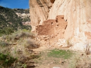
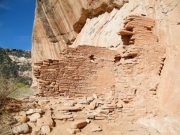
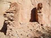
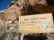
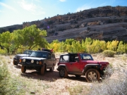
We stopped at the Arch Canyon Ruin and got out to check it out. It was pretty cool and we took lots of pictures. It was already getting hot out so it promised to be a nice Utah day.

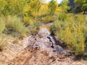
We got to the big, muddy trench that hung Monica up last year and found it to be partially filled in with dirt and rocks. It was a fun trench now rather than an impossible undertaking. We all drove right through it.

Then we got to another muddy area, the last big section of muck. The trail went through it to the left while a bypass went straight. Monica took the true trail and got very stuck, so Hoa had to take the bypass to provide a winch point. Monica winched out of the mud on Arch Canyon yet again!

Mike decided to see how it went with a lifted Jeep on bigger tires so he tried the real trail. There was about a second of time when we weren't sure he'd make it but then he powered right through. Now we were all very muddy.

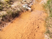
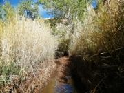
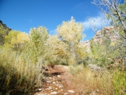
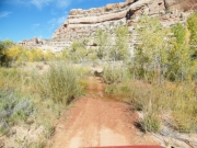
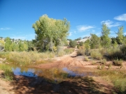
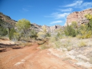
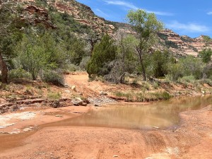
The creek was less and less of an issue with each crossing, and there were many crossings. The water was clear and we really enjoyed the changing trail.

We got out to try to find Jailhouse Ruin and we couldn't find it at first. Then Mike spotted two logs in the ruin that were used in construction. Then we could all see it. We knew that you could get to it but it looked impossible. Either way, we didn't have time to try so we pushed on.

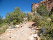
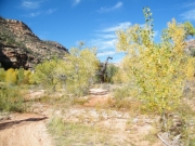
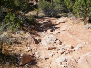
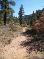
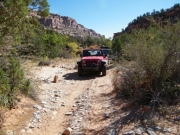
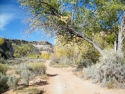
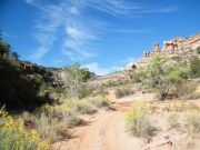
It looked like we had the trail to ourselves. We went up and down sandy hills and across the creek a lot. There were even some rocky challenges. There was one climb with a rock sticking out of the side that we all got a little too close to, but no one hit it.

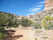
When we found a wide spot with some shade we stopped in the trail and set up for lunch. The views were amazing and it was very quiet. We relaxed out of the sun for a bit and everyone enjoyed how peaceful it was. The sun was getting to be pretty hot.

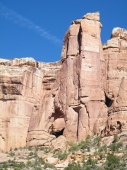
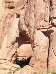
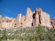
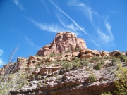
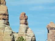
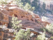
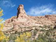
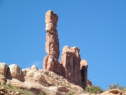
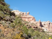
The sides of the canyon were getting more and more interesting as we pressed on. It was easier to spot the Mule Canyon Ruins. We wondered again how you could get to them, perched on the side of the cliff as they were.

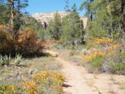
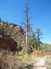
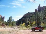
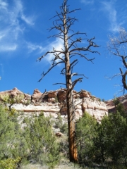
There were a lot of fun climbs as we got to the end. We spotted where the Texas Flat overlook was but we didn't see any people. The short brush gave way to tall, straight trees as we got close to the end.

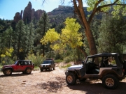
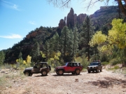
The end was really nice. It was flat and big with lots of shade trees. There was even a nice place to camp there in the shade. We parked and set out for a hike.

We could see Cathedral Arch but not Angel Arch. We walked for a little bit but then only Hoa continued, hoping for a good shot of the arch. He got one and came back to find Mike and Monica relaxing in the shade of the parking area.

The way back seemed to take a long time. We met with two ATVs who got around us in a wide spot at a creek crossing. Then we kept working our way back.

Monica had every intention of avoiding the mud that got her stuck on the way there. But then when it appeared she just dropped right into it and was immediately stuck again. Hoa came around to winch her out again. Then tha ATVs met with us on their way back (they're so much faster than a 4x4 can be on a trail like this). They got around us as we worked on the muddy mess. Of course, Mike didn't have a problem.

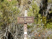
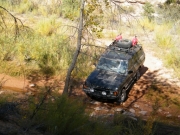
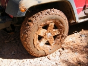
Once we got to the trailhead we stopped to check out Hoa's truck. He hit both sides of it in the mud trench and he had mud streaked and caked everywhere. Looking good!

We also tied everything down before heading next door to the Hotel Rock trail. The sun was threatening to go down soon but we were going to do that trail no matter what. It's nice that it's right next to Arch Canyon.

airing_down
angel_arch_from_the_side
arch_canyon_ruin_part_1
arch_canyon_ruin_part_2
arch_canyon_ruin_part_3
arch_canyon_ruin_part_4
arch_canyon_ruin_part_5
arch_canyon_ruin_sign
bumpy
campsite
cathedral_arch_from_the_parking_area
cathedral_arch_part_1
cathedral_arch_part_2
cathedral_arch_part_3
cattails
chunky_climb
clear_water
colorful
curve
early_trench
fall_colors
fun_stuff
hiking_trail_part_1
hiking_trail_part_2
hiking_trail_part_3
hiking_trail_sign
hoa_on_the_trail
hoa_saving_monica
jailhouse_ruin_part_1
jailhouse_ruin_part_2
jumble
layers
little_rocks
little_water
maple
mike_on_the_trail
monica_at_the_end
monica_muddy
monica_on_the_trail
monica_stuck
mud_hole_part_1
mud_hole_part_2
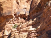
mule_canyon_ruins
old_tree
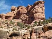
outcropping
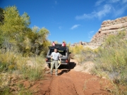
parked_at_the_arch_canyon_ruin
parking_area_part_1
parking_area_part_2
parking_area
rocky
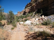
sandy
shallow
spire_part_1
spire_part_2
start_of_the_trail
trail_sign
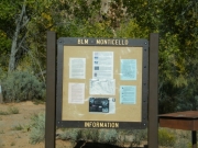
trailhead_kiosk
water_at_the_start
waves_in_mud
white_rock
wide_spot
wispy_clouds
Join Us!
If you aren’t a Member or Subscriber, you can’t see all of the content on this site. Get membership information to see why this site is best when you join and log in

Information for Subscribers

When you log in you’ll see more information here:

  • Recent Community Forum posts
  • Recent polls
  • Upcoming Events you can attend
  • Links to online users

© 2000-2022 · TrailDamage.com · Terms and Conditions · About · Contact
Trail information is only accurate on the date posted. Trails may have changed or closed since that date. Use this information for historical purposes only.
Contact the Forest Service or Bureau of Land Management for up-to-date trail information.
/* ----------------------------------------- */ /* View slug: reports-other-reports-for-same-trail-slider - start */ /* ----------------------------------------- */ /* place the prev/next controls on the sides */ .td-transition-controls .wpv-filter-next-link, .td-transition-controls .wpv-filter-previous-link { border: none; font-size: 300%; position: absolute; top: 70px; } .td-transition-controls .wpv-filter-previous-link { left: 0; } .td-transition-controls .wpv-filter-next-link { right: 0; } /* center the page selector horizonatally */ .td-transition-controls ul.wpv_pagination_dots { text-align: center; margin-top: 10px; } /* center the page selector horizonatally */ .td-transition-controls ul.wpv_pagination_dots li.wpv_pagination_dots_item, .td-transition-controls .wpv_pagination_dots li a { display: inline-block; float: none; } /* remove the default styles */ .td-transition-controls .wpv_pagination_dots li a { text-decoration: none; border-bottom: none; } .td-slider-container { padding: 0 25px; margin-bottom: 20px; position: relative; width:100%; display:table; } .td-slides { position: relative; } .td-slides-image { float:left; display:table-cell; } .td-slides-image img { border:1px solid #c0c0c0; } .td-slides-content { padding:4px 4px 4px 10px; border-top:1px solid #c0c0c0; border-right:1px solid #c0c0c0; border-bottom:1px solid #c0c0c0; display:table-cell; height:227px; overflow:hidden; } .td-slides-content h3 { margin-top:8px; } .td-slides-leader { font-size:smaller; margin-top:4px; } /* ----------------------------------------- */ /* View slug: reports-other-reports-for-same-trail-slider - end */ /* ----------------------------------------- */
/* ----------------------------------------- */ /* Content Template: Template for a Single Report - start */ /* ----------------------------------------- */ .entry-header { display:none; } .entry-content h1 { margin-top:16px; padding-top:0; } h1 a { color:#222; } h1 a:hover { color:#666; } p.entry-meta { font-size:small; } #report-body-spacer { clear:both; width:100%; height:20px; } #addtoany-bar { margin-bottom:2em; text-align:center; } .category-reports .post-info .author, .post-info .date { display: none; } .addthis_recommended_horizontal { text-align:center !important; } /* ----------------------------------------- */ /* Content Template: Template for a Single Report - end */ /* ----------------------------------------- */ /* ----------------------------------------- */ /* Content Template: Loop item in REPORTS Runners - start */ /* ----------------------------------------- */ #runners-container { width:100%; clear:both; } .runner { border:1px solid #c0c0c0; margin:0 6px 6px 0; float:left; width:49%; height:81px; } .runner-image { float: left; } .runner-image img { margin:2px 10px 0 2px; height:75px; width:75px; } .runner-name { text-transform:uppercase; } .runner-name a { color:#222; } .runner-name a:hover { color:#666; } .runner-vehicle { font-size:small; } @media only screen and (max-width: 768px) { .runner { width:100%; } } /* ----------------------------------------- */ /* Content Template: Loop item in REPORTS Runners - end */ /* ----------------------------------------- */