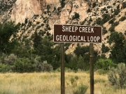
Sheep Creek Geological Loop
After kayaking at Sheep Creek Bay, we thought it would be fun to go as see the Old Fire Lookout Tower, but we decided to drive the road through the geological area because we had the time to spare. We found information about the Geological Loop, and we decided to add a bit more to it.
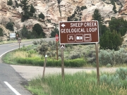
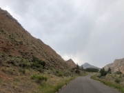
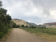
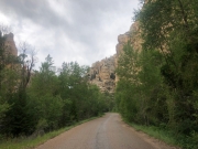
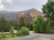
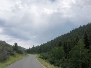
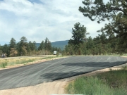
The start of Sheep Creek Geological Loop was paved and spotted with a few forest service campgrounds left and right.
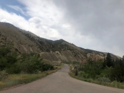
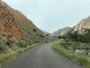
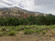
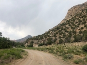
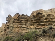
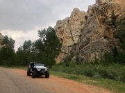
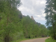
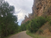
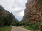
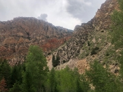
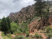
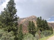
It did not take long to start seeing all the different rock formations. For most of the rock formations along the road there were signs posted giving the name of the rock formation and strata it belongs to. There were many rocks and way too many signs to list all them!
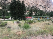
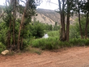
After driving for some time, we stopped at the Palisade Group Picnic Area for lunch. We did have the picnic area to ourselves.
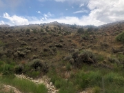
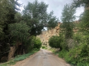
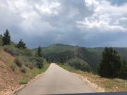
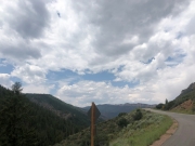
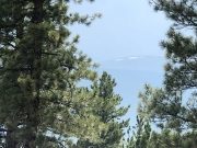
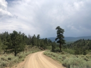
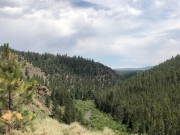
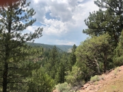
After lunch, we continued out of the canyon and uphill towards Windy Ridge. The views going uphill were great. A few spots would get really close to the edge of the road as we were passing through a shelf road part of the trail.
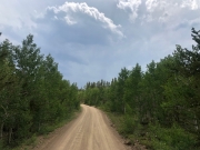
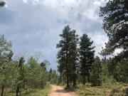
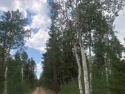
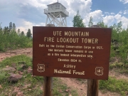
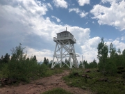
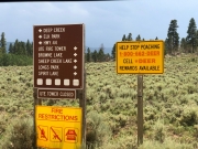
After the hill and at the next intersection, we made right turn onto Forest Service Road 221 for a few miles and then made a left onto Forest Service Road 005, which took us to the old Ute Mountain Fire Lookout Tower.
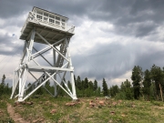
The old fire tower was closed so we could not go up, but it was very nice to see. We walked around some before driving back to the intersection, where we had made the right-hand turn.
After going back to the intersection, we kept to the right to go down Forest Service Road 539. That extra road added to the Sheep Creek Geological Loop led us back to Highway 44. On the way down Forest Service Road 539 we came by a very popular campground, Deep Creek Campground. It was mostly full.
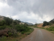
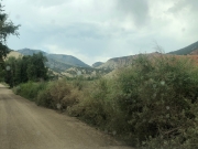
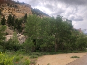
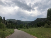
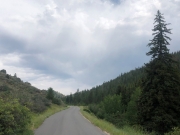
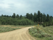
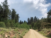
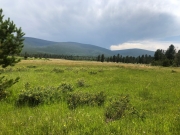
The rest of Sheep Creek road was easy going and had a lot of great views. It was a great day.

