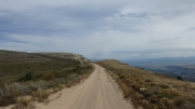
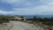
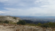
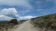
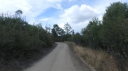
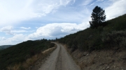
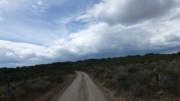
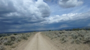
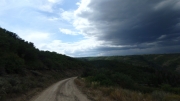
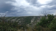
Roan Cliffs
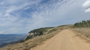
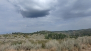
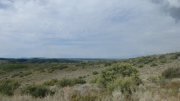
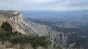
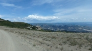
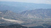
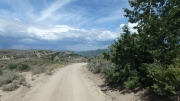
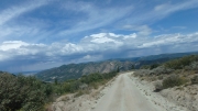
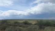
Our destination for the day was Roan Cliffs, because we knew the trail was right on the edge of them for most of the way. However, we started the day with JQS Trail and it was already incredible. The climb up that trail was so awesome, how could we top it? It turned out that Roan Cliffs might be even better.
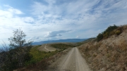
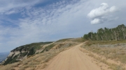
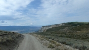
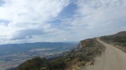
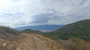
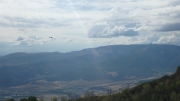
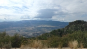
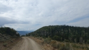
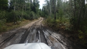
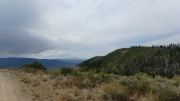
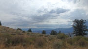
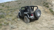
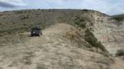
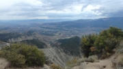
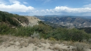
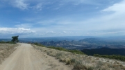
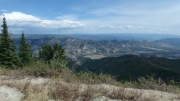
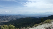
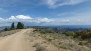
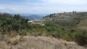
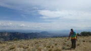
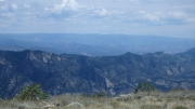
Because we started the trail at the end of the JQS Trail, we were right in the middle of it. We enjoyed the overlook at the end of our first trail, and then headed south to see Roan Cliffs. Though it turned away from the cliff's edge at first, it was soon back to it. It was very scenic.
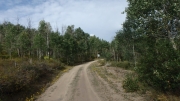
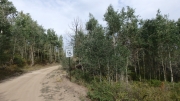
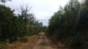
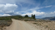
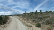
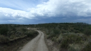
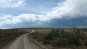
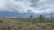
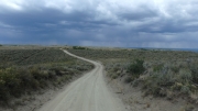
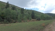
The trail went into the plateau for a little while and then we passed the cutoff to the overlook. We skipped it, to come back later. When we got to the "T" we turned right, and even though we weren't near the edge anymore it was a nice trail through aspens and changing colors signaling winter.
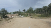
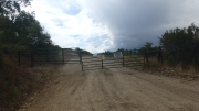
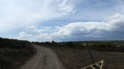
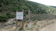
Then the trail just ended at a gate noting it was closed. Bummer! That part of the trail was supposed to continue a long time. But maybe it was a good thing, because after two long days of wheeling we joked about not wanting to take a trail to Fruita. In the end, we were honestly okay with getting turned away.
Then we took the other section and we weren't even all on that fork before it also ended at a gate. That wasn't much of a surprise, but it was still a bummer.
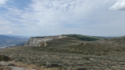
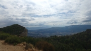
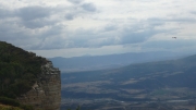
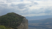
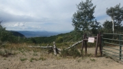
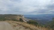
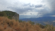
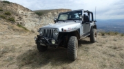
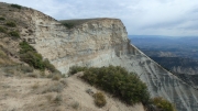
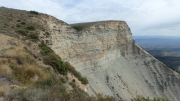
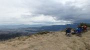
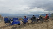
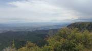
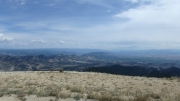
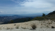
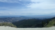
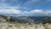
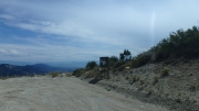
Then we headed back to the overlook, expecting more of the same great views of Rifle and I-70. But we were pleasantly surprised. We parked right at the edge, setting up our chairs for lunch. There was a huge wall of rock right next to us as we perched on East Anvil Point. We even found sea shells up there, remnants from when the ground was in a lake. You could see how the rock was in layers from that lake, and we couldn't get enough of it. It was an awesome lunch spot, like always, but eventually we had to go.
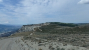
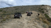
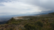
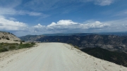
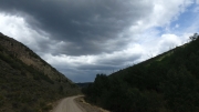
We headed back to where we came from, and then passed the end of the JQS Trail again. The trail continued to be really cool as we followed along the edge of the cliff. We had hoped to do some of the many other trails that left and headed west onto the plateau, but we decided to make it an earlier day than what we'd been having. So many trails, so little time.
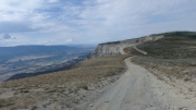
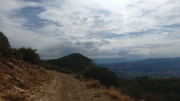
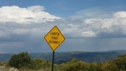
We knew that the trail would eventually split, and we hoped to follow the cliff all the way down to the county road. But when we got there, that spur wasn't used enough to go all the way through. We'd have to do some more exploring another day, so we followed the main road west and away from the cliff. That would be the last time we'd be on the edge of the cliff.
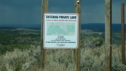
Eventually, the trail went into private land as we worked our way down. It didn't seem to take long at all for us to cross that property and find the trailhead on the county road. What an incredible trip! In three days, we saw so much of the Flat Tops and the area around Rifle that we could barely wrap our heads around it. Even though we saw a lot, there was still a lot to see. We liked Rifle a lot, and we knew we'd be back again soon.

