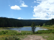
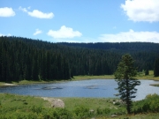
Kenney Creek Reservoir
We try to prepare for new trails as much as we can, and a lot of that preparation is done by mapping out trails ahead of time. We put those hand-drawn maps on GPS units and print them to take with us, and they're almost always right. This time, the track we planned on doing was pretty wrong when we got there.
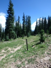
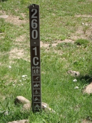
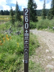
We went by where we thought it would start when we were on Michaelsen Creek, and the trail just wasn't there. We saw no evidence of it at all. But we knew the road number, and we saw that road a bit farther down Michaelsen Creek. We figured the start had been rerouted, so we took the one that actually existed.
We all drove it and watched our GPS units, both handheld units and ones in Jeep dashes. All of them said we were not on a trail, and all of them showed the trail that didn't exist. But we kept going. Eventually, we crossed over the trail we were expecting and didn't see anything of note, just old trails long gone.
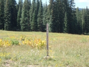
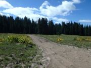
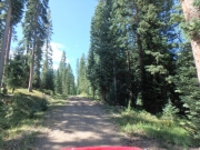
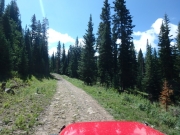
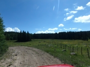
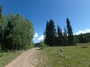
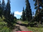
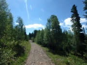
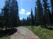
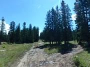
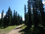
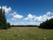
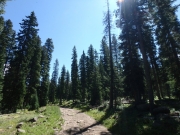
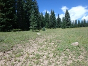
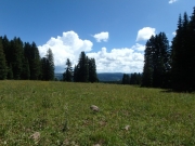
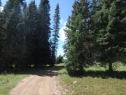
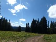
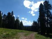
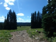
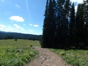
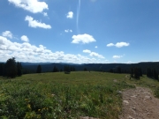
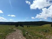
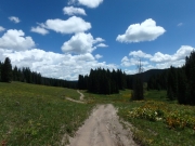
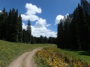
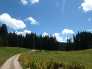
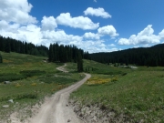
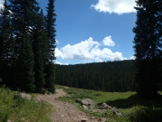
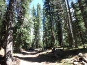
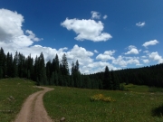
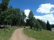
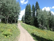
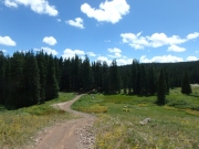
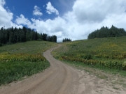
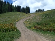
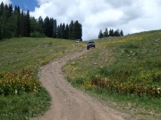
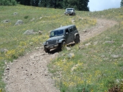
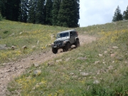
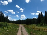
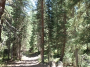
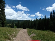
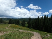
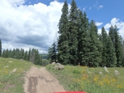
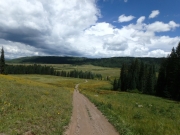
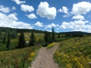
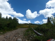
The trail we were on was fun, though, so it didn't matter. It was bumpy, but not too bad. Muddy, but not too bad. And very scenic. It took a while, but we finally passed the point where our planned track joined up with our real track. We saw a very old and overgrown road coming in that hadn't been used in a long time. Very strange, but it all worked out just fine.
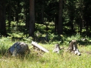
We stopped for lunch just past that point, in a place where we could choose sunshine or shade that was out of the wind. It was a chilly day, but it was the warmest one of our trip. It was a nice lunch until the mosquitoes came out. Monica's Jeep was dead, but she jump started it and we were on our way.
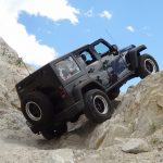
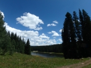
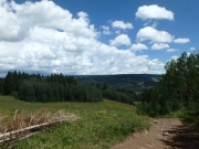
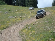
We were almost to the reservoir when we were treated to a rocky climb followed immediately by a rocky descent down the same hill. Then we popped over another hill to find our reservoir. We took the short spur to get over to it, and parked. Julie walked over to it, but the rest of us looked from a little farther away. It was very pretty, but we'd seen what felt like a hundred reservoirs in a few days and we were getting lazy.
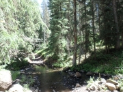
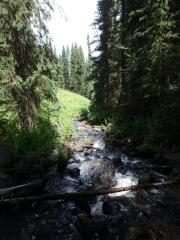
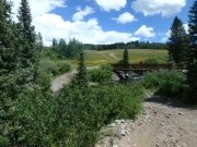
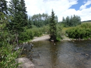
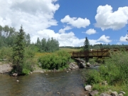
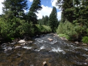
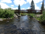
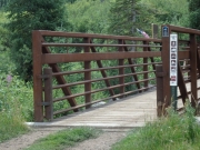
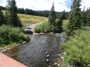
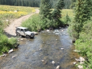
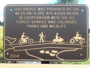
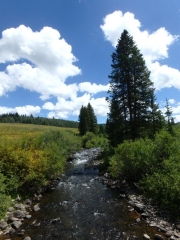
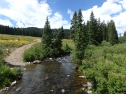
The rest of the trail was fun, with rocky hills to entertain us. The last descent was fun and long, and when we got to the bottom we found the Leon Creek Bridge. 4x4 vehicles aren't allowed to use it, as we have to cross through the creek instead. It wasn't deep, but it was clear and pretty as we crossed. We stopped on the other side to walk over the well-maintained bridge and check things out. It was a really scenic area.
That was the end of the trail, so we turned right to take Leon Lake back out to the main area of Grand Mesa. That's when things got really bumpy.

