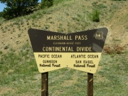
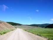
Marshall Pass
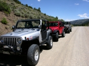
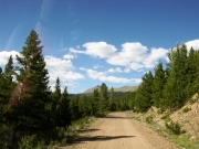
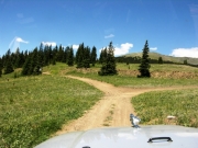
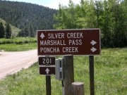
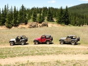
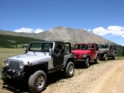
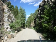
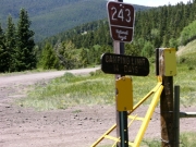
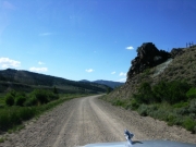
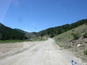
We had a few days of wheeling planned in the Salida area, and first we'd explore Marshall Pass and some trails off of it. It was easy to find the trailhead on the east end, though it wasn't easy to find a place to air down. Once we figured that out, it wasn't long before we were at the big intersection with Poncha Creek and Toll Road Gulch, where we stopped for lunch.
After completing Poncha Creek we ran a little bit more of Marshall Pass until we made it to the Lime Ridge trail where we left Marshall Pass once again. After running Lime Ridge, we headed down Marshall Pass Trail to its intersection with Highway 50. Since we hadn't completed the entirety of the Marshall Pass trail, we opted to return to Salida on the trail rather than taking the highway.
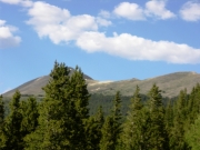
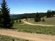
We quickly headed up the trail while being mindful of the potential for oncoming traffic, and we made good time back to the summit. We stopped to stretch our legs and use the pit toilets once we got to that point. We were soon on our down the east side of the pass. We stopped above O'Haver Lake to enjoy the view and then pressed on. We passed a view spurs that looked like they would be worth exploring on a future trip and were soon at the intersection where a spur went right to O'Haver Lake. We followed that to get a close-up view of the lake but that wasn't to be as the lake is a fee area. We were disappointed and we turned around, because no one wanted to risk a fine just to get closer to the water.
A few more minutes put us back at the starting point of the day. Monica wanted to try her new onboard air, so she aired up (quickly!). The rest of the group opted to stay aired down, and we were all soon back in Salida. It was a great first day of wheeling for our 4-day trip exploring the Salida area trails.
After a quick stop at our motels, we converged on Quincy's Steak and Spirits. Where else can you get a good filet mignon dinner for $9.99?


