
TrailDamage.com

Photos, videos and information about 4x4 trails in Colorado and Utah

  • Trails
    • Colorado
    • Utah
  • Reports
    • Featured Photos
    • Reports Calendar
  • Members
  • Search
  • FAQ
  • Community
  • Upcoming Events
  • Membership
  • Log In
  • Facebook
  • Instagram
  • RSS
  • Twitter
  • YouTube
  • Trails
    • Colorado
    • Utah
  • Reports
    • Featured Photos
    • Reports Calendar
  • Members
  • Search
  • FAQ
  • Community
  • Upcoming Events
  • Membership
  • Log In

Flint Trail 160515

May 15, 2016 by Monica

Flint Trail

Trail Run on May 15, 2016
Report and photos by Monica I., Trail Leader
View trail information for Flint Trail

Monica I.
Red 2010 Jeep Wrangler Rubicon
Frank N.
White 2010 Jeep Wrangler Unlimited Rubicon
Walt S.
Gray 2022 Jeep Wrangler Unlimited Rubicon 392

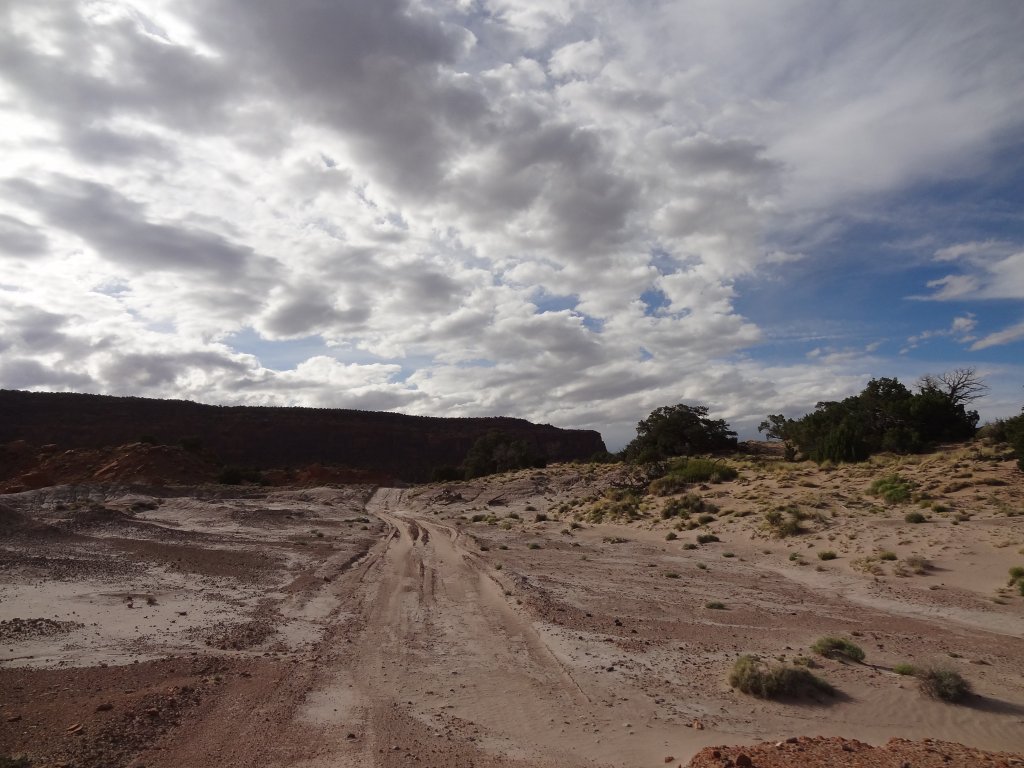
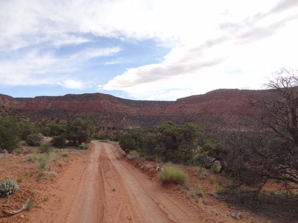
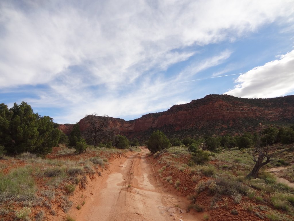
When we did the Flint Trail the day before, all of us were on it in the dark. Frank had been towing Matt up the hill, and it took a while. That meant that we didn't really get a chance to enjoy the trail, so we were happy to find ourselves at the bottom again the next day. The sun was out, and we were taking our time this time.

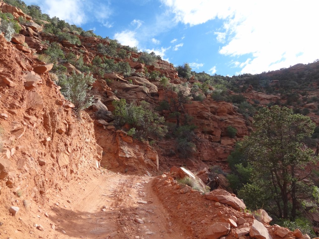
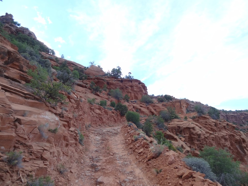
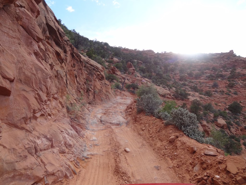
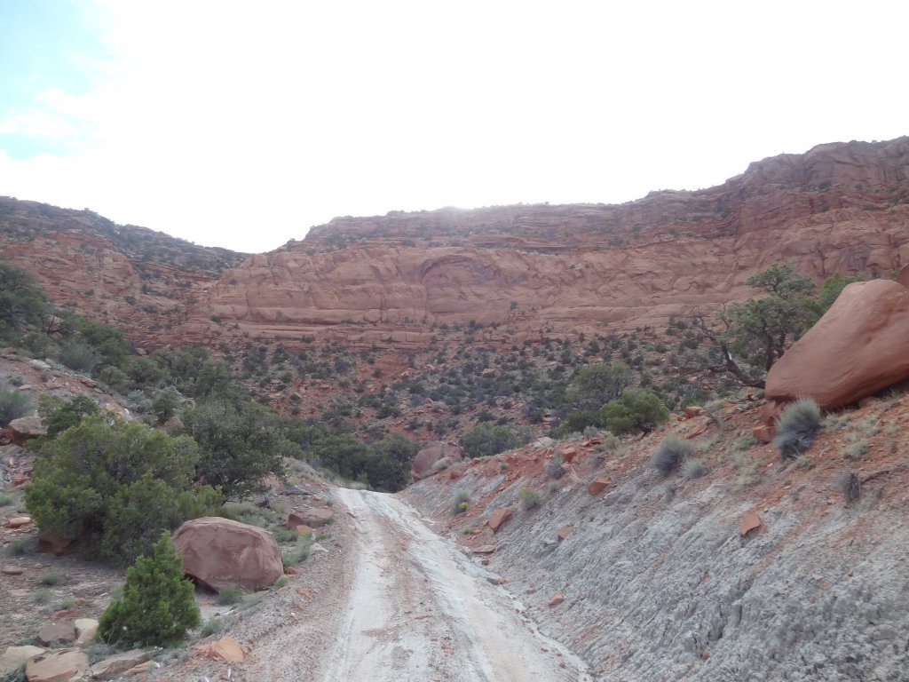
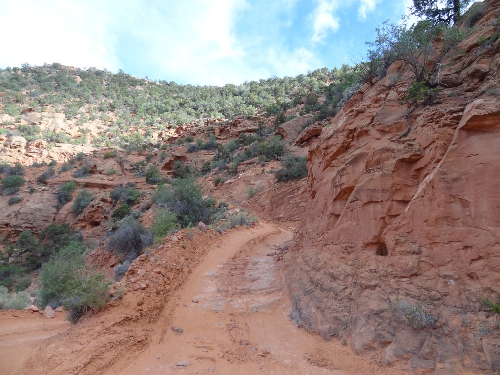
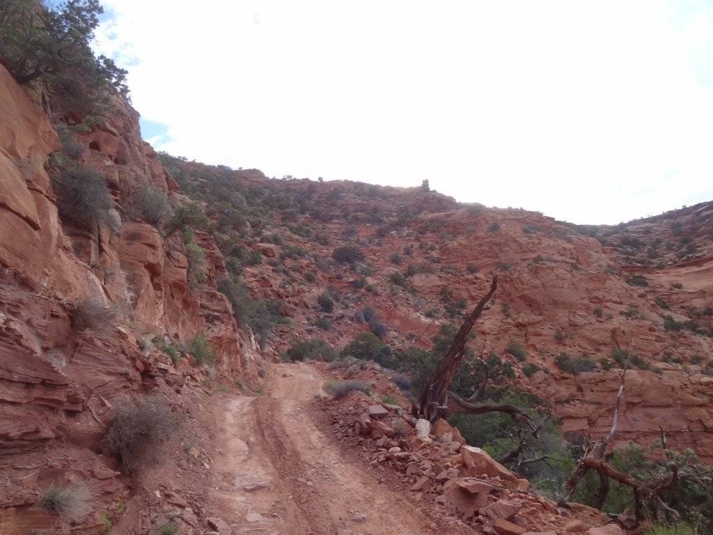
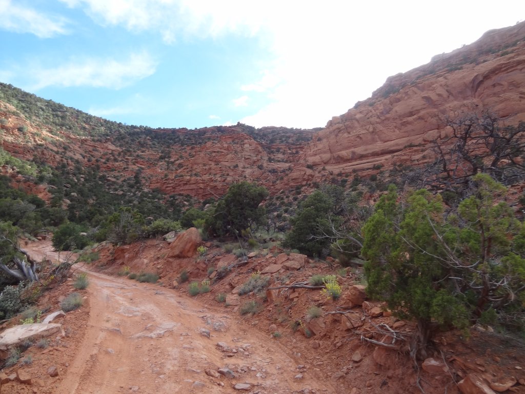
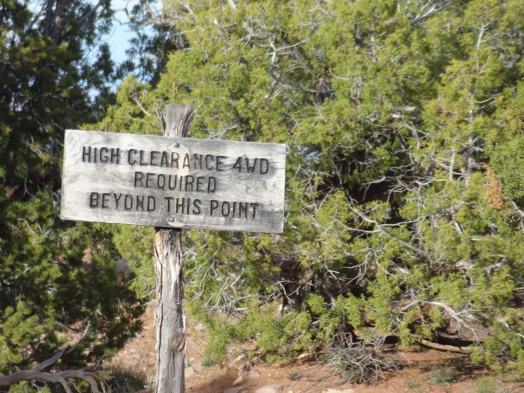
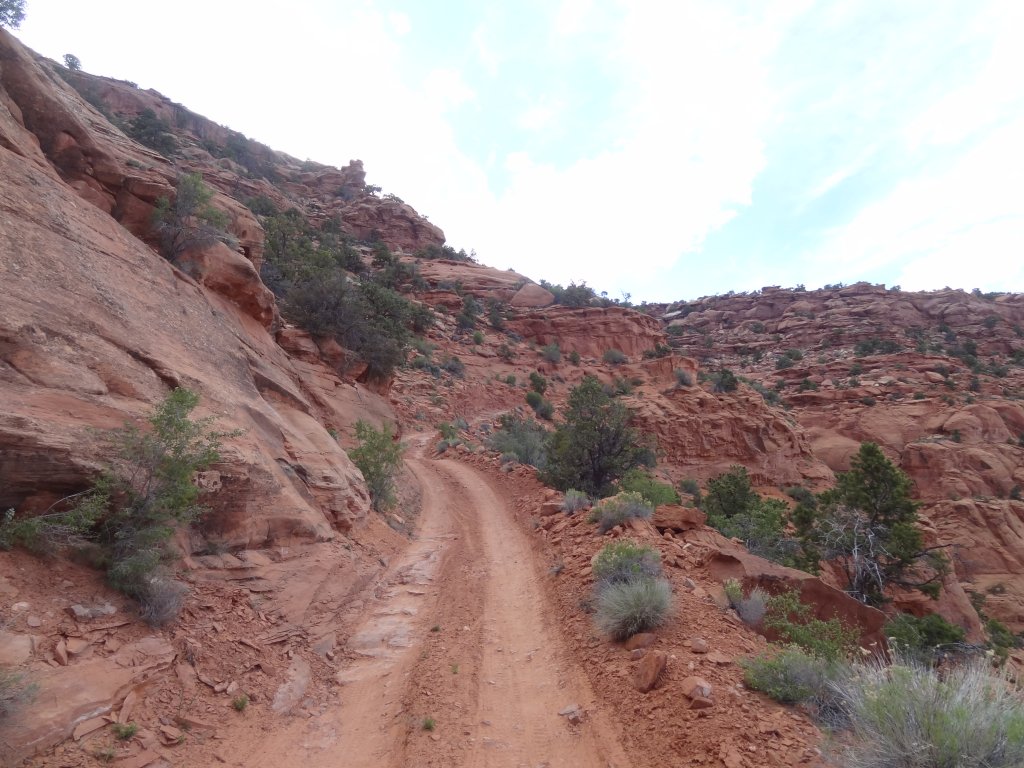
The hill isn't all that tough, though it is intimidating. First of all, everything you read about the trail makes it seem scary and dangerous. It would definitely be a bad idea in the rain or snow, and if we found someone on their way down the hill it would make things difficult, but not impossible. The switchbacks had plenty of room for passing.

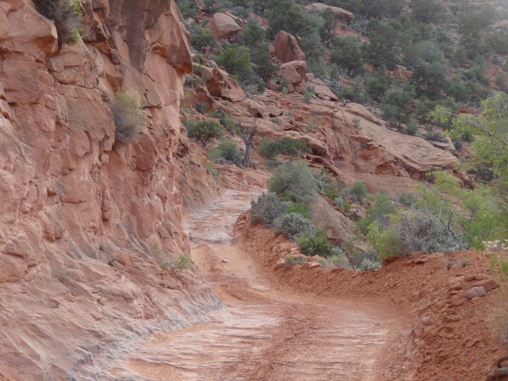
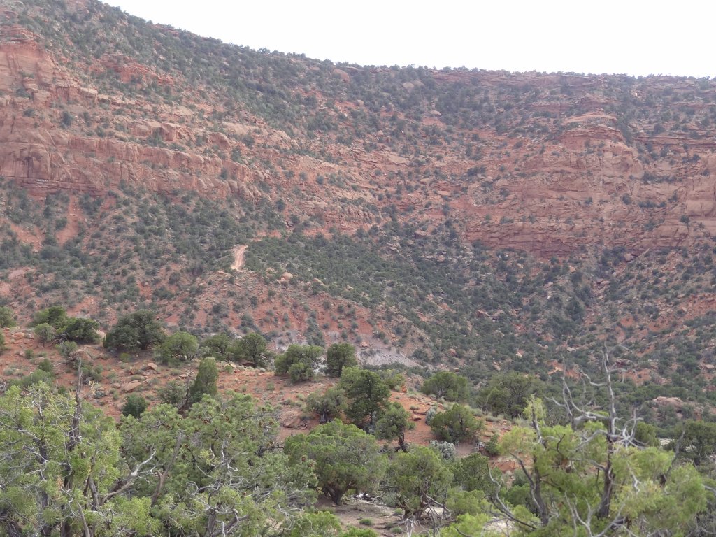
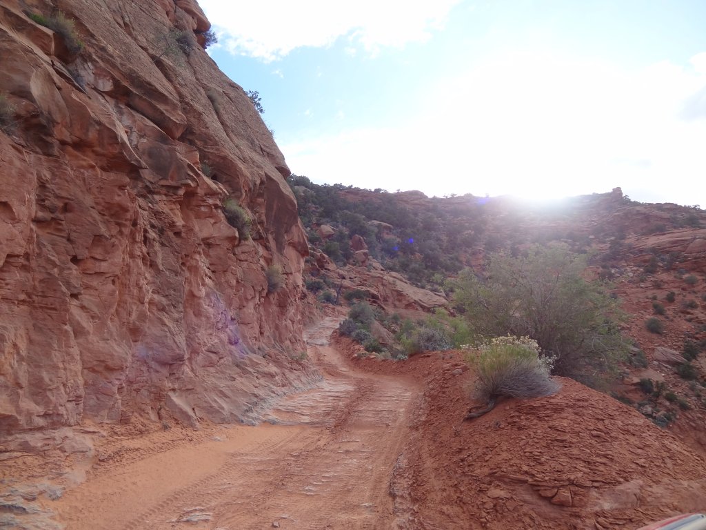
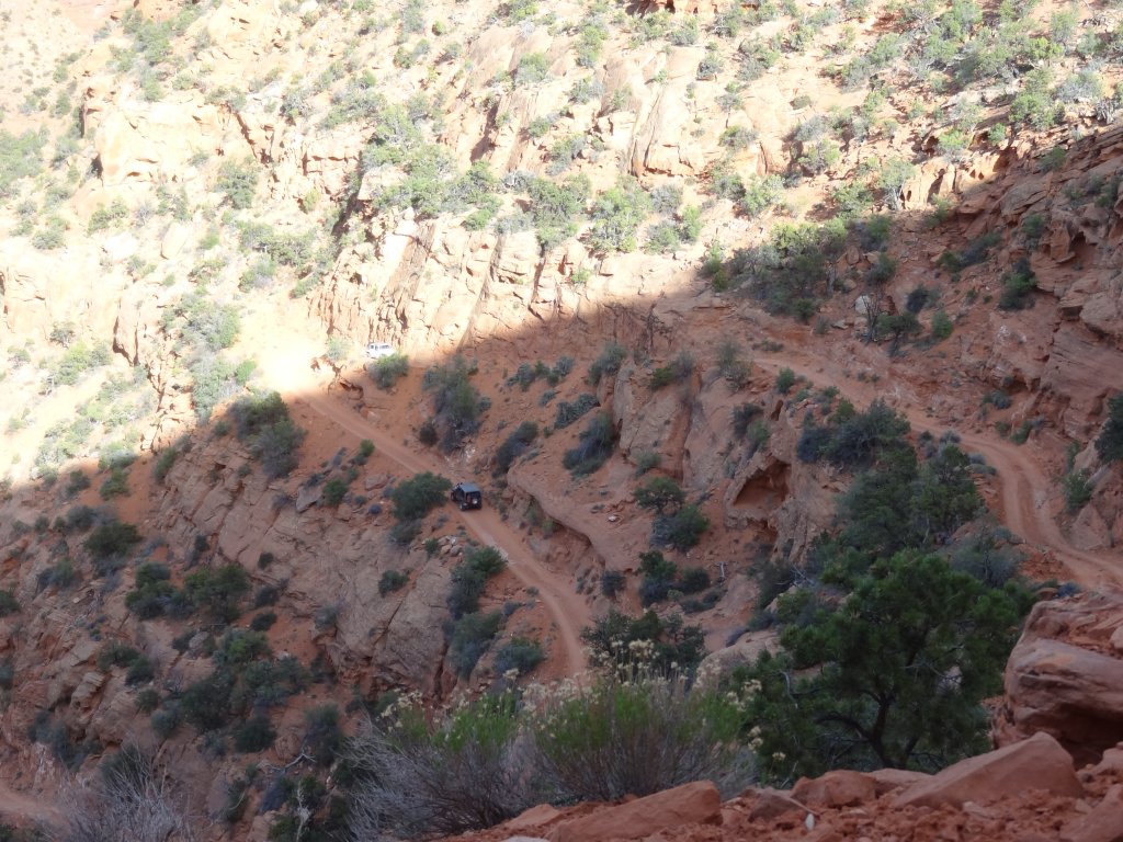
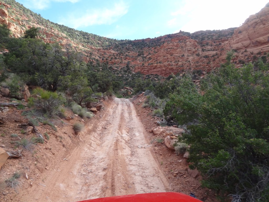
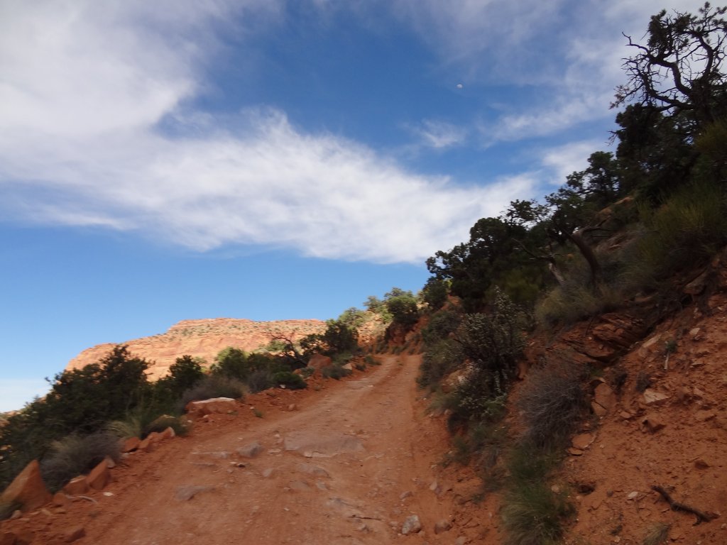
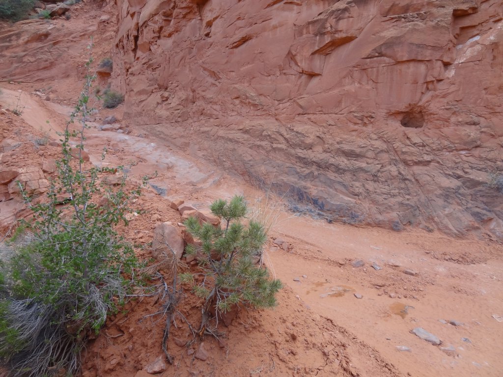
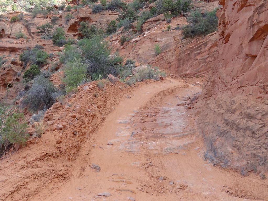
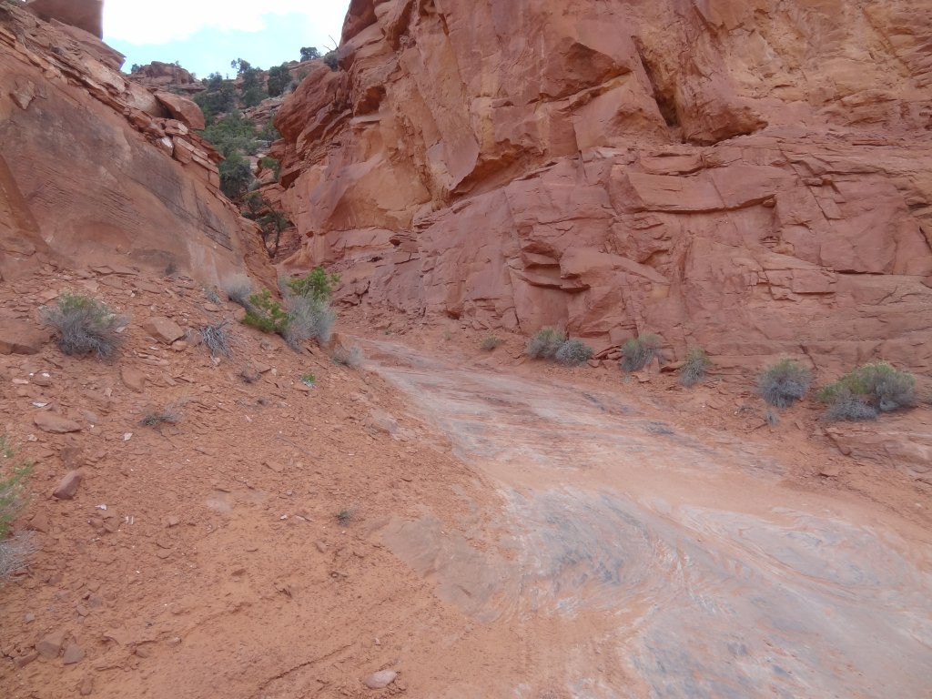
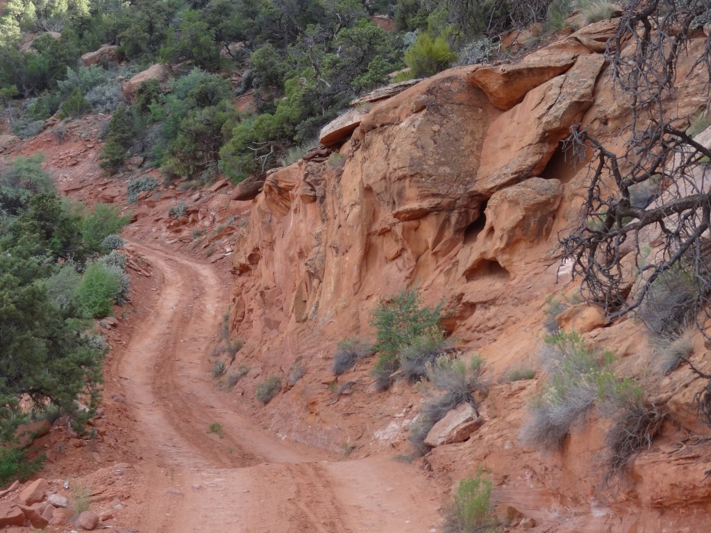
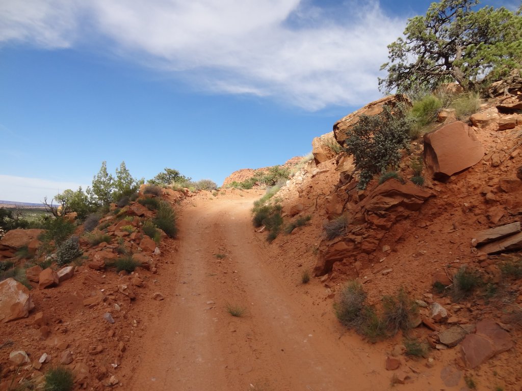
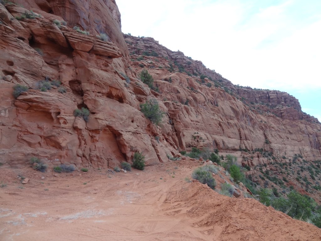
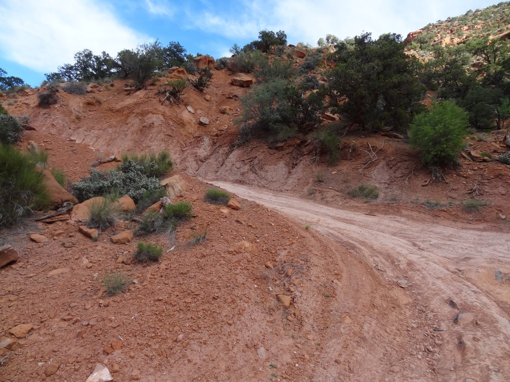
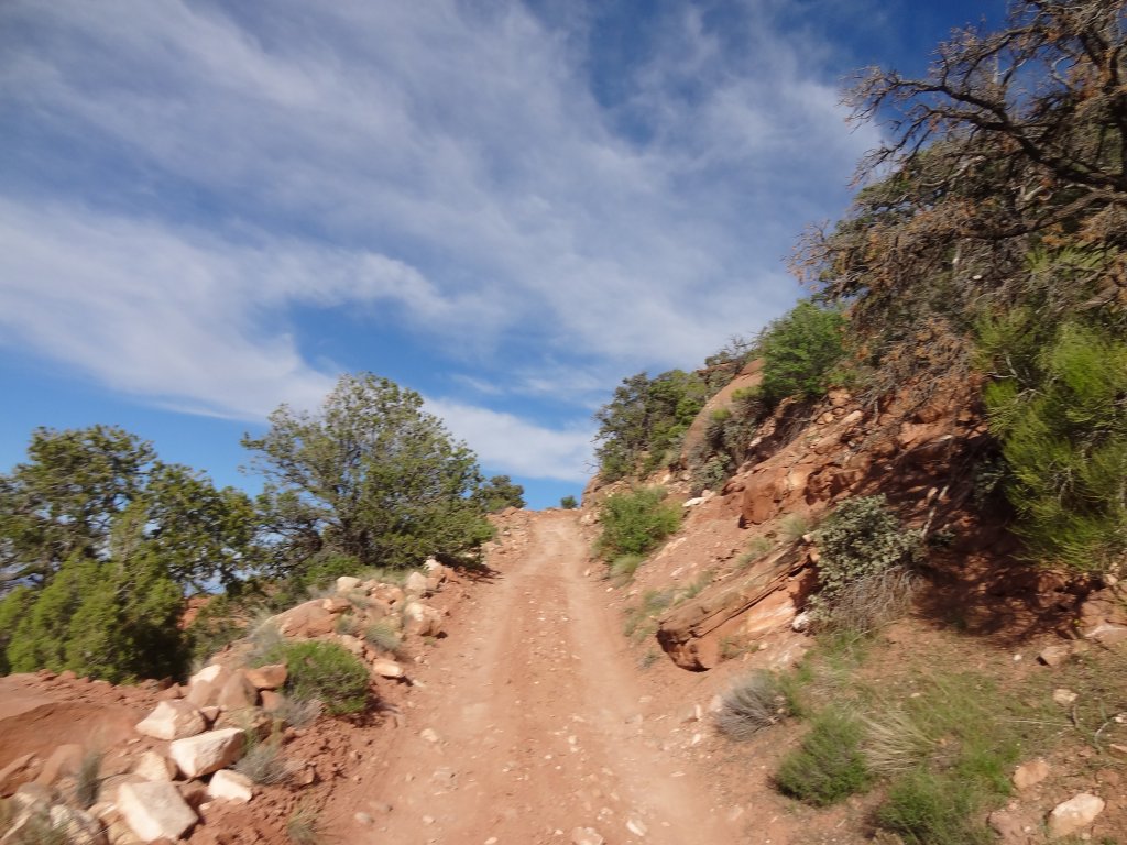
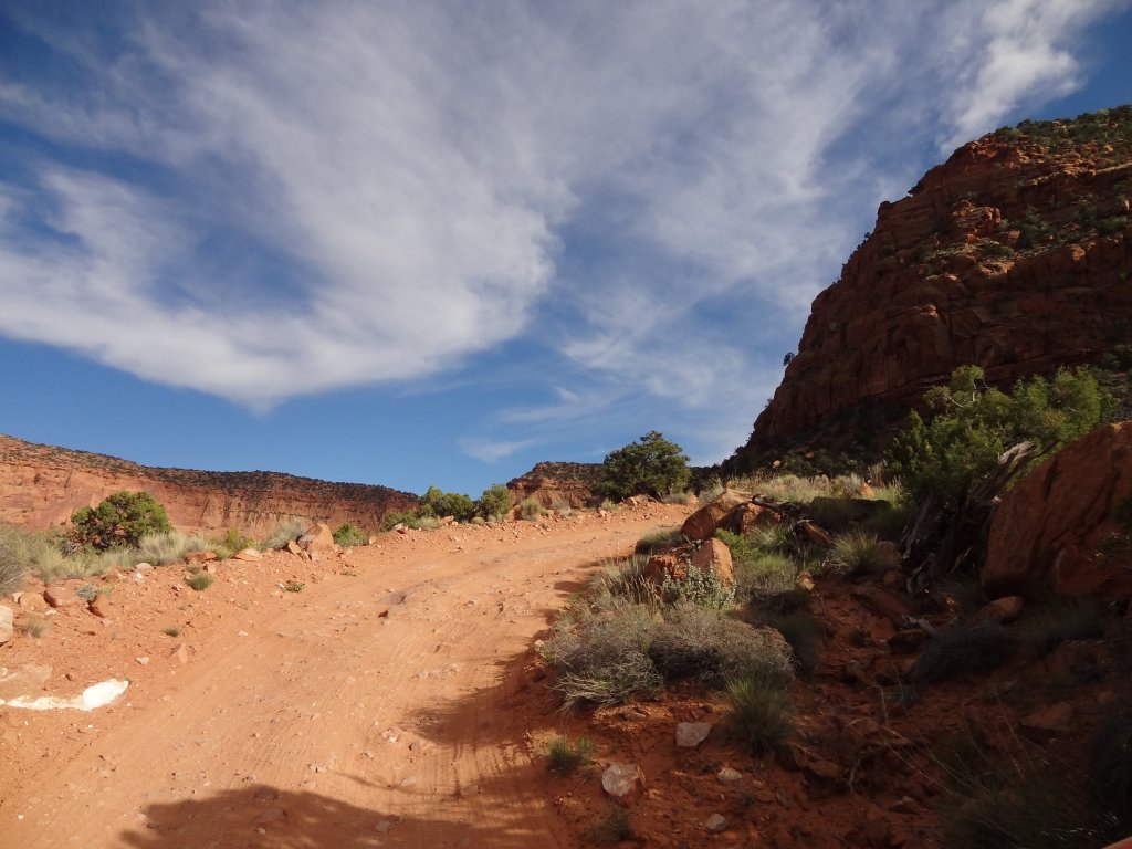
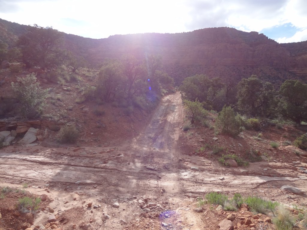
But that doesn't make it any less fun. The first part of the hill is relatively mellow, though steep. Then you get to the big switchback and the fun begins. There are some hills that were cut into slickrock, though most are dirt or rocky climbs.

The second switchback is even tighter, with less room for passing and making multi-point turns. The third switchback is much easier, and then it's a piece of cake to get to the top. When we got up there, we were bummed that the hill wasn't longer, but it was a blast.

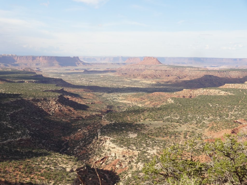
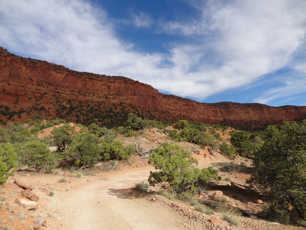
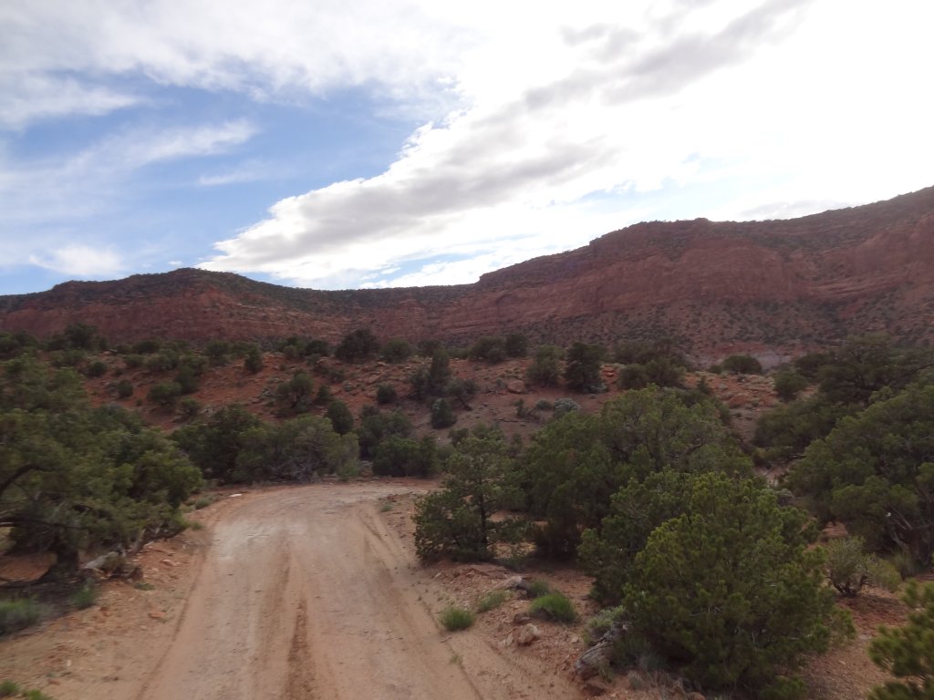
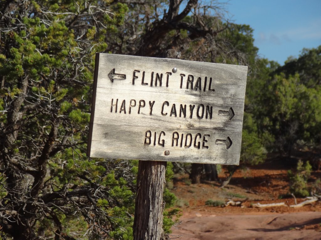
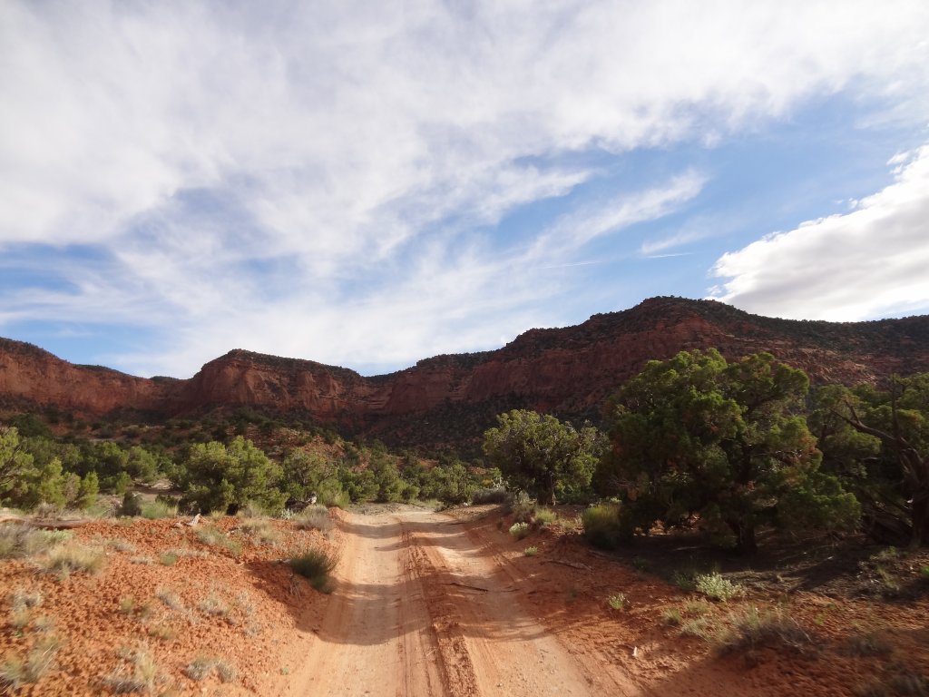
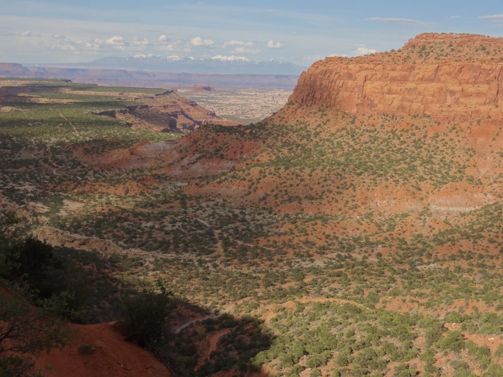
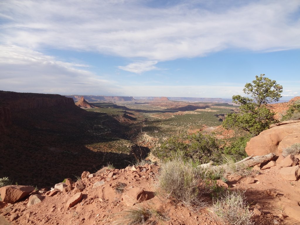
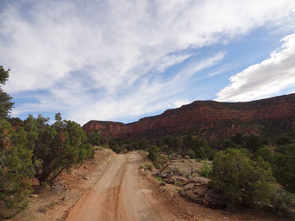
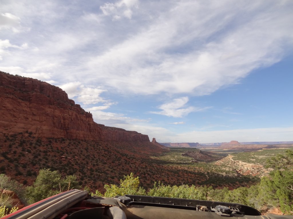
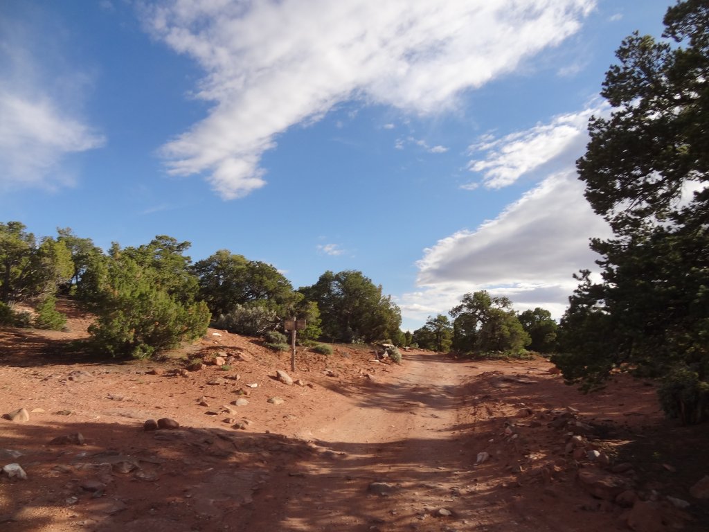
We'd only seen the top of the hill under pitch black skies, so it was good to see it in the sunshine. The light was fading, though, so we didn't hang out for long. We wouldn't have time to head out onto The Big Ridge this time, so we started up Gordon Flats.
bagpipe_butte_at_the_end
between_switchbacks
bumpy
canyons_and_buttes
chunky
climb_ahead
climb_on_slickrock
colors
curve
cut_into_rock
darker
directions
ernies_country
frank_and_walt
gentle_climb
heading_up
heavy_clouds
into_flint_cove
into_the_sky
lowest_switchback_part_1
lowest_switchback_part_2
lowest_switchback_part_3
mellow_at_the_bottom
narrow
no_passing
orange_cliffs
orange_dirt
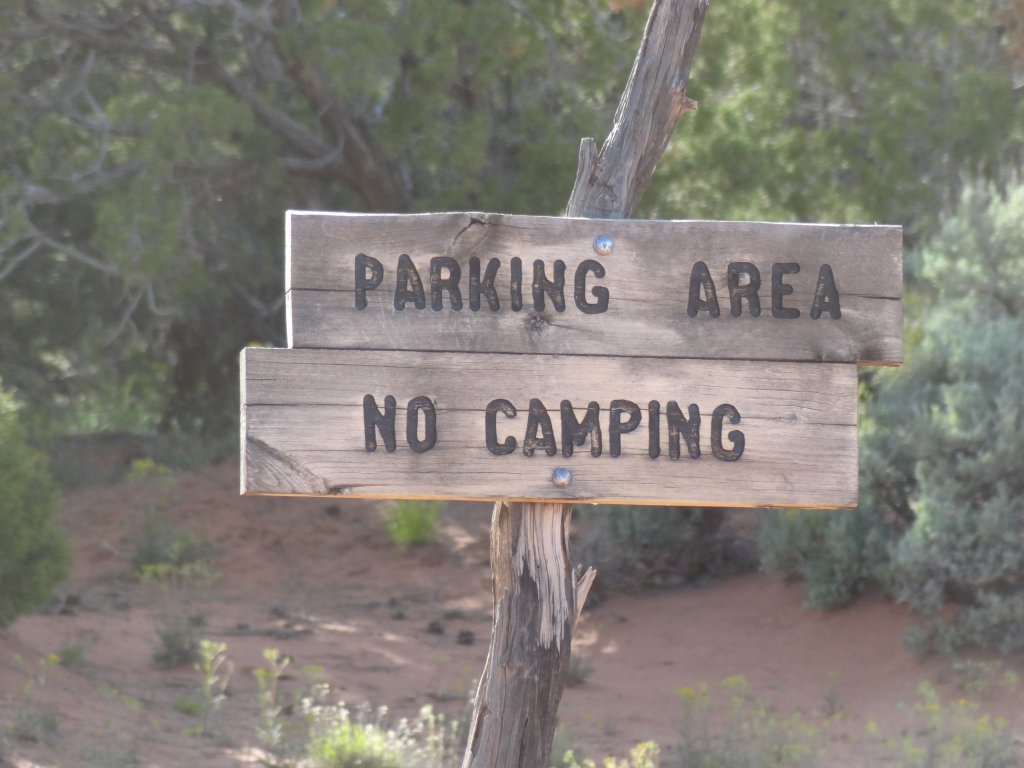
parking_area_sign
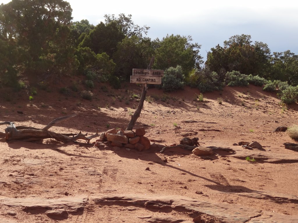
parking_area
red_rock
shadow
sign_at_the_bottom
smooth
start_of_the_climb
steep
switchback_turning_area
switchback
tallest_tree
the_top
to_the_top
trail_below
up_and_around
view_from_the_top
views
warning_sign
wash

Report from a Different Day

May 14, 2016

Led by Monica I.
We were a bit split up, and Ben had a big head start on the rest of us. Even though…
Join Us!
If you aren’t a Member or Subscriber, you can’t see all of the content on this site. Get membership information to see why this site is best when you join and log in
Information for Subscribers

When you log in you’ll see more information here:

  • Recent Community Forum posts
  • Recent polls
  • Upcoming Events you can attend
  • Links to online users

© 2000-2026 · TrailDamage.com · Terms and Conditions · About · Contact
Trail information is only accurate on the date posted. Trails may have changed or closed since that date. Use this information for historical purposes only.
Contact the Forest Service or Bureau of Land Management for up-to-date trail information.