TrailDamage.com

Photos, videos and information about 4x4 trails in Colorado and Utah

  • Trails
    • Colorado
    • Utah
  • Reports
    • Featured Photos
    • Featured Videos
    • Reports Calendar
  • Members
  • Search
  • Trail Damage Winners
  • FAQ
  • Community
  • Upcoming Events
  • Membership
  • Log In
  • Facebook
  • Instagram
  • RSS
  • Twitter
  • YouTube

Welsh Reservoir 160910

September 10, 2016 by Monica

Welsh Reservoir

Trail Run on September 10, 2016
Report and photos by Monica I., Trail Leader
View trail information for Welsh Reservoir

Monica I.
Red 2010 Jeep Wrangler Rubicon
Matt K.
White 2016 Jeep Wrangler Unlimited Rubicon
Walt S.
Gray 2022 Jeep Wrangler Unlimited Rubicon 392

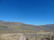
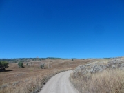
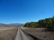
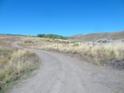
We did Horse Mountain Road to the end first, and then turned onto Welsh Reservoir. We were happy to find a trail that was a bit more challenging because we left the big campers behind. We still saw lots of people camping, but it was limited to trucks, tents, and lots of ATVs. It looked like the hunters were out scouting, and there were a lot of them.

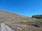
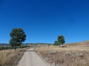
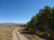
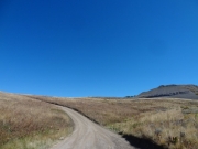
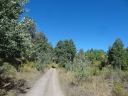
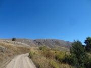
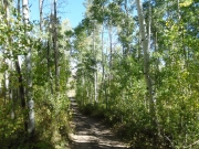
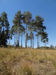
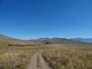
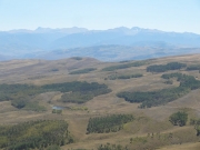
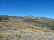
Going around Horse Mountain was definitely scenic, and we enjoyed the slow climb. We didn't take any spurs, so we made decent time through all of the weaving through trees that the trail does. It was remote, even with all of the people camping.

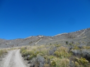
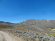
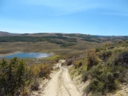
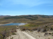
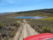
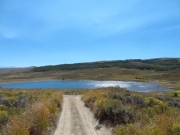
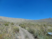
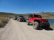
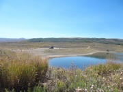
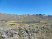
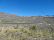
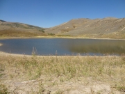
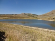
It didn't take long to get to the reservoir where we stopped to stretch our legs. There was a huge hill in front of us that we'd been watching for a little while as we got closer, and it looked like that was where the trail went. Monica explored one side trail but found it gated, a way that would have gone to Alkali Creek Road in a very short distance. Bummer.

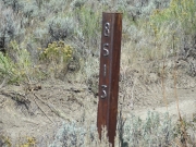
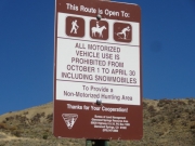
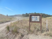
Matt went up the hill first after we had a discussion about the weird gate at the bottom. There was a sign noting that the trail was currently open, with a chain across it. But well-used trails went around it on both sides. We guessed that someone had long forgotten about the chain, or they leave it up as a barrier during the winter, when you can't see the other side trails under the snow.

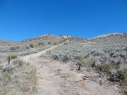
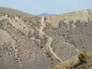
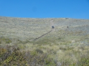
It's definitely a steep hill. Matt climbed and climbed until he was out of sight, and then he radioed down to tell us that an ATV was coming down. Monica and Walt waited for the ATV, and then headed up. We all went through the gate, closing it behind us. It was a fun climb!

There were a few other fun climbs, but none of them rivaled the big one. The trail looped around, and we saw camping hunters all the way to the end. We stopped at a spot that looked like hunters had prepared it earlier, but it was currently unoccupied. It was a good place for lunch, and we took our time enjoying the peace and quiet.

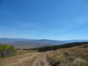
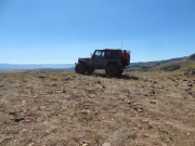
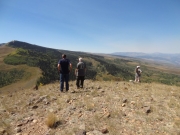
It wasn't long after lunch when we found the end of the trail. Walt posed on a rock, and we all got out to check out the views. It was pretty impressive, and chilly in the wind of the exposed and unnamed hill. It was definitely worth the long trip to get there.

On the way back, we noted how many side trails were closed at gates to private property, with exit paths blocked. They would have been very short paths out to main roads, so it was kind of a bummer to see. But it meant we had to go all the way back out Horse Mountain Road to get back. It was long, but it was still enjoyable. And we had time to do Bocco Mountain, too.

along_a_fence
around_a_hill
between_two_trees
big_hill_marker
big_hill_part_1
big_hill_part_2
big_hill_sign
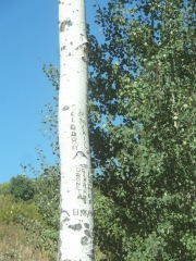
carved_tree
castle_peak
colors
curve_uphill
destination
different_trees
distant_hill_climb
down_from_the_top
down_the_big_hill_part_1
down_the_big_hill_part_2
down_the_big_hill_part_3
down_the_big_hill_part_4
down_the_big_hill_part_5
fall_colors
graffiti
horse_mountain
in_aspens
lesser-used_trail
lunch_spot
matt_at_the_top
open_space
our_mountain
parked_at_lunch
parked_at_welsh_reservoir
spur
start_of_the_trail
straight
tall_trees
top_of_the_big_hill
trail_with_a_view
trailhead_kiosk
trailhead_marker
view_from_the_top_part_1
view_from_the_top_part_2
view_from_the_top_part_3
view_from_the_top_part_4
view_from_the_top_part_5
view_from_the_top_part_6
walt_at_welsh_reservoir
walt_down_a_hill
walt_on_the_trail
walt_posing_part_1
walt_posing_part_2
walt_posing_part_3
wavy
weaving
welsh_reservoir_part_1
welsh_reservoir_part_2
welsh_reservoir_part_3
welsh_reservoir_part_4
yellows
Join Us!
If you aren’t a Member or Subscriber, you can’t see all of the content on this site. Get membership information to see why this site is best when you join and log in
Information for Subscribers

When you log in you’ll see more information here:

  • Recent Community Forum posts
  • Recent polls
  • Upcoming Events you can attend
  • Links to online users

© 2000-2023 · TrailDamage.com · Terms and Conditions · About · Contact
Trail information is only accurate on the date posted. Trails may have changed or closed since that date. Use this information for historical purposes only.
Contact the Forest Service or Bureau of Land Management for up-to-date trail information.

/* ----------------------------------------- */ /* View slug: reports-other-reports-for-same-trail-slider - start */ /* ----------------------------------------- */ /* place the prev/next controls on the sides */ .td-transition-controls .wpv-filter-next-link, .td-transition-controls .wpv-filter-previous-link { border: none; font-size: 300%; position: absolute; top: 70px; } .td-transition-controls .wpv-filter-previous-link { left: 0; } .td-transition-controls .wpv-filter-next-link { right: 0; } /* center the page selector horizonatally */ .td-transition-controls ul.wpv_pagination_dots { text-align: center; margin-top: 10px; } /* center the page selector horizonatally */ .td-transition-controls ul.wpv_pagination_dots li.wpv_pagination_dots_item, .td-transition-controls .wpv_pagination_dots li a { display: inline-block; float: none; } /* remove the default styles */ .td-transition-controls .wpv_pagination_dots li a { text-decoration: none; border-bottom: none; } .td-slider-container { padding: 0 25px; margin-bottom: 20px; position: relative; width:100%; display:table; } .td-slides { position: relative; } .td-slides-image { float:left; display:table-cell; } .td-slides-image img { border:1px solid #c0c0c0; } .td-slides-content { padding:4px 4px 4px 10px; border-top:1px solid #c0c0c0; border-right:1px solid #c0c0c0; border-bottom:1px solid #c0c0c0; display:table-cell; height:227px; overflow:hidden; } .td-slides-content h3 { margin-top:8px; } .td-slides-leader { font-size:smaller; margin-top:4px; } /* ----------------------------------------- */ /* View slug: reports-other-reports-for-same-trail-slider - end */ /* ----------------------------------------- */
/* ----------------------------------------- */ /* Content Template: Template for a Single Report - start */ /* ----------------------------------------- */ .entry-header { display:none; } .entry-content h1 { margin-top:16px; padding-top:0; } h1 a { color:#222; } h1 a:hover { color:#666; } p.entry-meta { font-size:small; } #report-body-spacer { clear:both; width:100%; height:20px; } #addtoany-bar { margin-bottom:2em; text-align:center; } .category-reports .post-info .author, .post-info .date { display: none; } .addthis_recommended_horizontal { text-align:center !important; } /* ----------------------------------------- */ /* Content Template: Template for a Single Report - end */ /* ----------------------------------------- */ /* ----------------------------------------- */ /* Content Template: Loop item in REPORTS Runners - start */ /* ----------------------------------------- */ #runners-container { width:100%; clear:both; } .runner { border:1px solid #c0c0c0; margin:0 6px 6px 0; float:left; width:49%; height:81px; } .runner-image { float: left; } .runner-image img { margin:2px 10px 0 2px; height:75px; width:75px; } .runner-name { text-transform:uppercase; } .runner-name a { color:#222; } .runner-name a:hover { color:#666; } .runner-vehicle { font-size:small; } @media only screen and (max-width: 768px) { .runner { width:100%; } } /* ----------------------------------------- */ /* Content Template: Loop item in REPORTS Runners - end */ /* ----------------------------------------- */