TrailDamage.com

Photos, videos and information about 4x4 trails in Colorado and Utah

  • Trails
    • Colorado
    • Utah
  • Reports
    • Featured Photos
    • Featured Videos
    • Reports Calendar
  • Members
  • Search
  • Trail Damage Winners
  • FAQ
  • Community
  • Upcoming Events
  • Membership
  • Log In
  • Facebook
  • Instagram
  • RSS
  • Twitter
  • YouTube

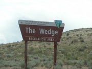
The Wedge 150523

May 23, 2015 by Monica

The Wedge

Trail Run on May 23, 2015
Report and photos by Monica I., Trail Leader
View trail information for The Wedge

Walt S.
Gray 2018 Jeep Wrangler Unlimited Rubicon
Monica I.
Red 2010 Jeep Wrangler Rubicon
Matt K.
White 2016 Jeep Wrangler Unlimited Rubicon

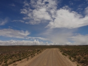
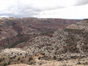
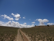
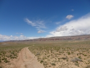
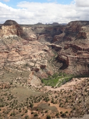
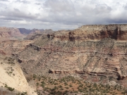
Wow, this is some scenery! We were thrilled to see the Little Grand Canyon along with a lot of other people that Saturday. We knew it was a maze of trails, and we weren't sure of the path we'd take through them. We found two loops and started in.

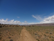
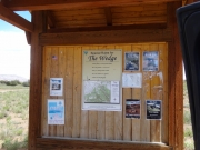
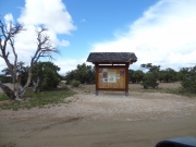
We actually went in using a secondary entrance. We did the first loop and it was pretty uneventful. After all of the scenery we'd seen so far, it was almost boring. It took a little while, but we eventually ended up back at the main trail. We popped back up to the Buckhorn Information Center before heading back in on the easy road.

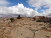
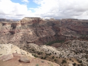
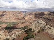
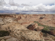
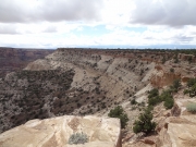
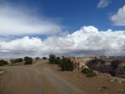
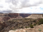
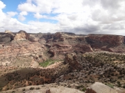
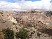
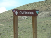
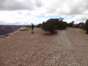
It didn't take long at all before we were at the big overlook with a lot of other people. We decided to head down the trail to the right of the overlook a bit just to get out of the traffic. That ended up being a good idea, and we spent some time admiring the view. It was gorgeous, and the weather was perfect.

We knew we had more than a few miles left in our day, so we soon headed over to the second scenic spot overlooking the Little Grand Canyon. You can walk out on a thin strip of rock, and when you're at the end the experience is really cool. It really did look like a much smaller version of the Grand Canyon. Very cool!

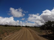
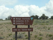
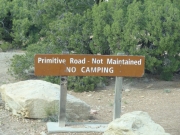
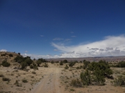
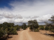
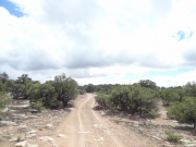
We wanted to check out the other loop, so we continued on where most people turned around to head back. There was a sign noting that it was a primitive road, but it wasn't difficult. That loop was more interesting as it weaved around trees and across eroded areas. But we were soon back on the main trail and we headed back to the trailhead.

Our original plan was to head down Fuller Bottom again, but no one was up for another adventure in the river mud. Instead, we headed out to Castle Dale and the highway where we aired up. We stopped at the little towns south of Castle Dale after we couldn't find a Mexican restaurant there, but we should have stayed in Castle Dale to eat somewhere else. We couldn't find another restaurant that took credit cards until we were back in Green River. That started our love affair with the Tamerisk restaurant, even though it's always a 30-minute wait. It was a great end to a great day.

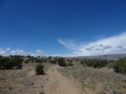
big_sky
buckhorn_flat
busy_trail
campground_sign
just_past_little_grand_canyon
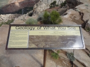
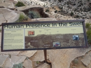
kiosk
little_grand_canyon_part_1
little_grand_canyon_part_2
little_grand_canyon_part_3
little_grand_canyon_part_4
little_grand_canyon_part_6
little_grand_canyon_part_7
little_grand_canyon_part_8
little_grand_canyon_sign_1
little_grand_canyon_sign_2
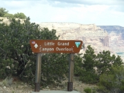
little_grand_canyon_sign
little-used_trail
lonely_trees
mesa_along_buckhorn_draw_road
near_the_edge
northern_loop
overlook_kiosk
overlook_part_1
overlook_part_2
overlook_part_3
overlook_part_4
overlook_part_5
overlook_part_6
overlook_sign
panorama
parked_at_the_overlook
southern_loop_near_little_grand_canyon
southern_loop
wedge_sign
Join Us!
If you aren’t a Member or Subscriber, you can’t see all of the content on this site. Get membership information to see why this site is best when you join and log in

Information for Subscribers

When you log in you’ll see more information here:

  • Recent Community Forum posts
  • Recent polls
  • Upcoming Events you can attend
  • Links to online users

© 2000-2022 · TrailDamage.com · Terms and Conditions · About · Contact
Trail information is only accurate on the date posted. Trails may have changed or closed since that date. Use this information for historical purposes only.
Contact the Forest Service or Bureau of Land Management for up-to-date trail information.

/* ----------------------------------------- */ /* View slug: reports-other-reports-for-same-trail-slider - start */ /* ----------------------------------------- */ /* place the prev/next controls on the sides */ .td-transition-controls .wpv-filter-next-link, .td-transition-controls .wpv-filter-previous-link { border: none; font-size: 300%; position: absolute; top: 70px; } .td-transition-controls .wpv-filter-previous-link { left: 0; } .td-transition-controls .wpv-filter-next-link { right: 0; } /* center the page selector horizonatally */ .td-transition-controls ul.wpv_pagination_dots { text-align: center; margin-top: 10px; } /* center the page selector horizonatally */ .td-transition-controls ul.wpv_pagination_dots li.wpv_pagination_dots_item, .td-transition-controls .wpv_pagination_dots li a { display: inline-block; float: none; } /* remove the default styles */ .td-transition-controls .wpv_pagination_dots li a { text-decoration: none; border-bottom: none; } .td-slider-container { padding: 0 25px; margin-bottom: 20px; position: relative; width:100%; display:table; } .td-slides { position: relative; } .td-slides-image { float:left; display:table-cell; } .td-slides-image img { border:1px solid #c0c0c0; } .td-slides-content { padding:4px 4px 4px 10px; border-top:1px solid #c0c0c0; border-right:1px solid #c0c0c0; border-bottom:1px solid #c0c0c0; display:table-cell; height:227px; overflow:hidden; } .td-slides-content h3 { margin-top:8px; } .td-slides-leader { font-size:smaller; margin-top:4px; } /* ----------------------------------------- */ /* View slug: reports-other-reports-for-same-trail-slider - end */ /* ----------------------------------------- */
/* ----------------------------------------- */ /* Content Template: Template for a Single Report - start */ /* ----------------------------------------- */ .entry-header { display:none; } .entry-content h1 { margin-top:16px; padding-top:0; } h1 a { color:#222; } h1 a:hover { color:#666; } p.entry-meta { font-size:small; } #report-body-spacer { clear:both; width:100%; height:20px; } #addtoany-bar { margin-bottom:2em; text-align:center; } .category-reports .post-info .author, .post-info .date { display: none; } .addthis_recommended_horizontal { text-align:center !important; } /* ----------------------------------------- */ /* Content Template: Template for a Single Report - end */ /* ----------------------------------------- */ /* ----------------------------------------- */ /* Content Template: Loop item in REPORTS Runners - start */ /* ----------------------------------------- */ #runners-container { width:100%; clear:both; } .runner { border:1px solid #c0c0c0; margin:0 6px 6px 0; float:left; width:49%; height:81px; } .runner-image { float: left; } .runner-image img { margin:2px 10px 0 2px; height:75px; width:75px; } .runner-name { text-transform:uppercase; } .runner-name a { color:#222; } .runner-name a:hover { color:#666; } .runner-vehicle { font-size:small; } @media only screen and (max-width: 768px) { .runner { width:100%; } } /* ----------------------------------------- */ /* Content Template: Loop item in REPORTS Runners - end */ /* ----------------------------------------- */