Webster Pass

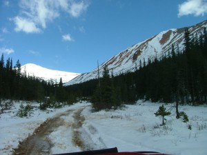
We had some concerns about our ability to make it across Webster Pass. We'd read recent reports that said the snow near the pass was still there, and some said it was impossible to get through. Luckily, Roger had come across the pass just a couple days before and he said it was clear. We were looking forward to heading over to the other side, and we talked to a few people along the way who had come from the other side. We were good to go.
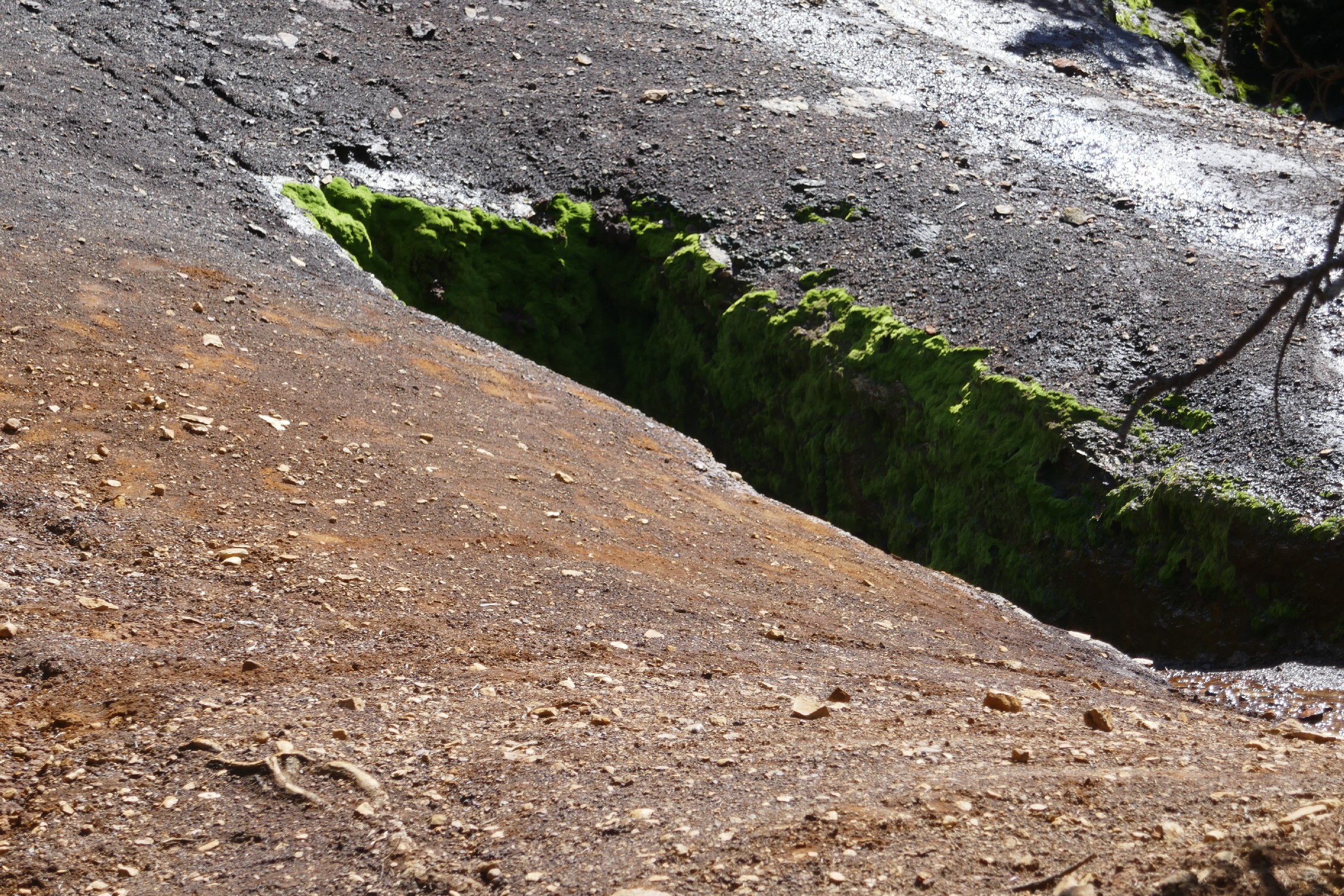
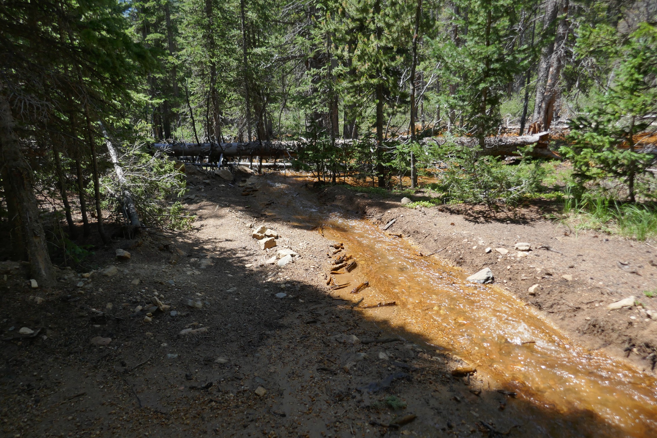
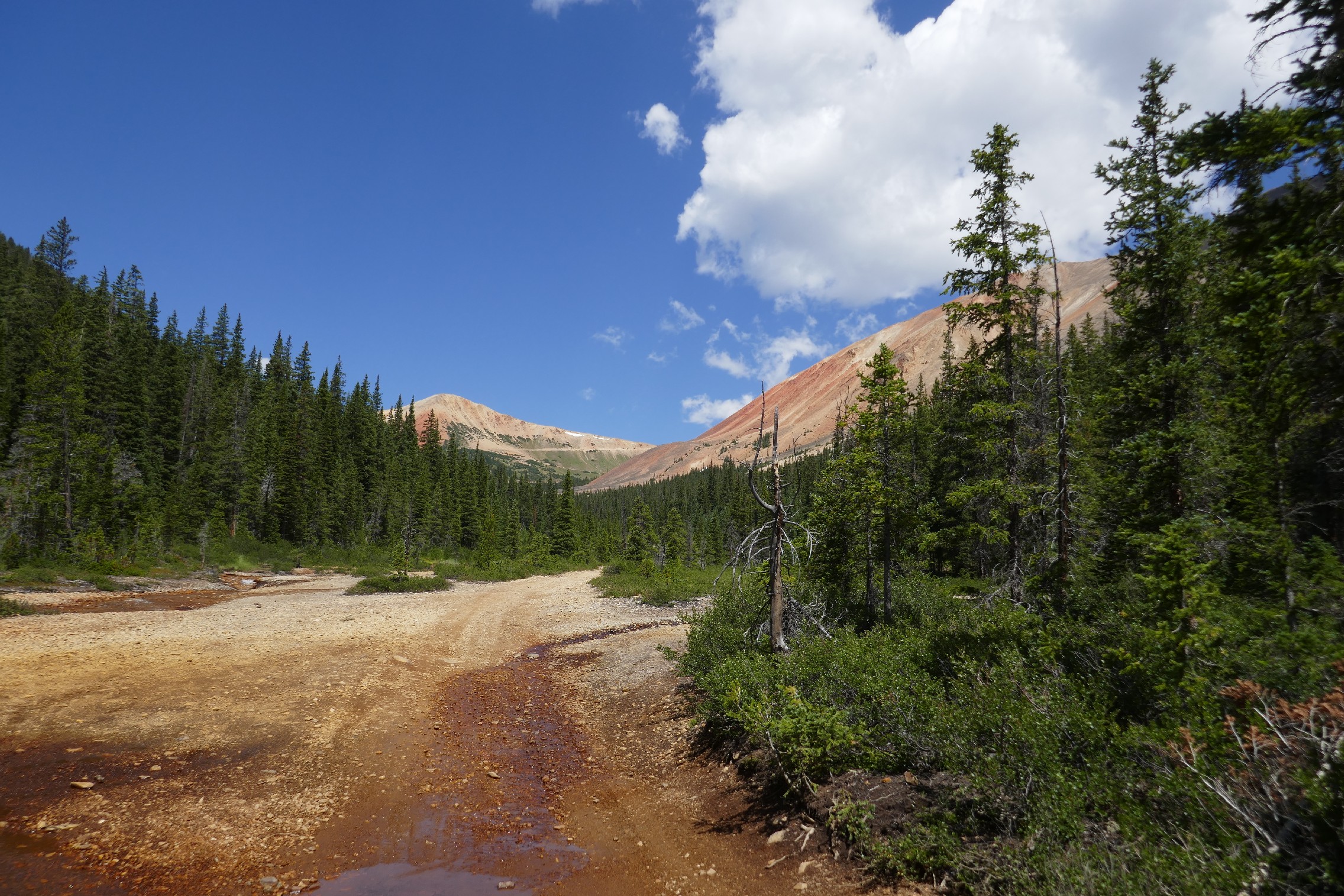
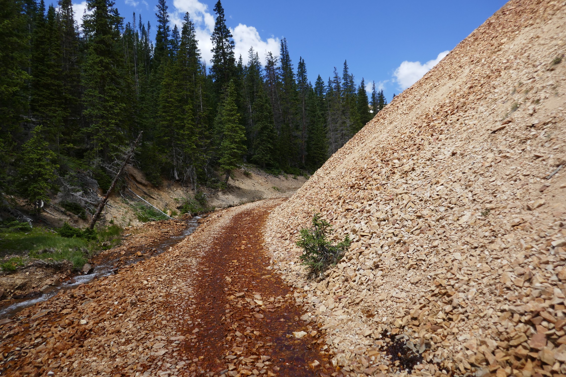
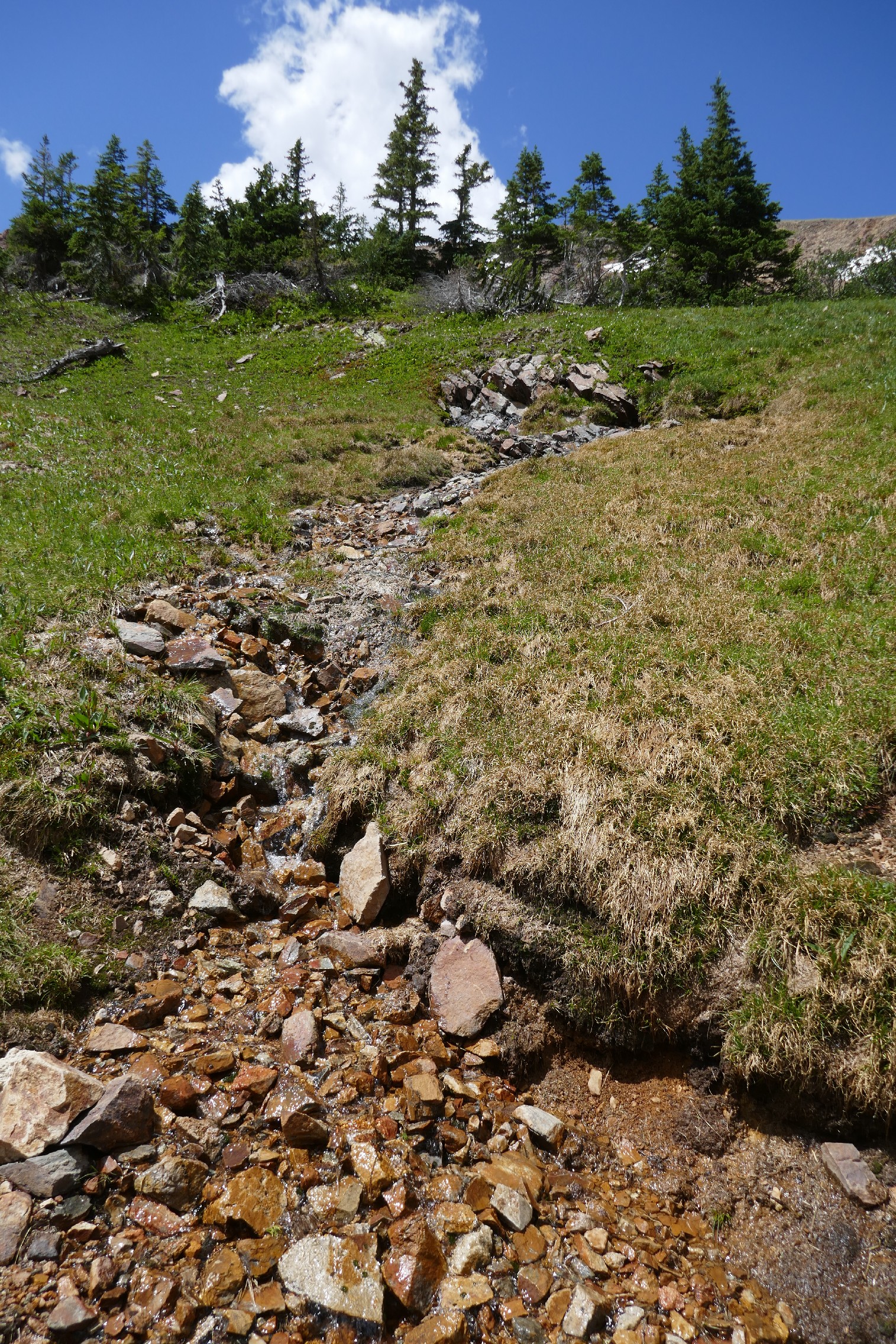
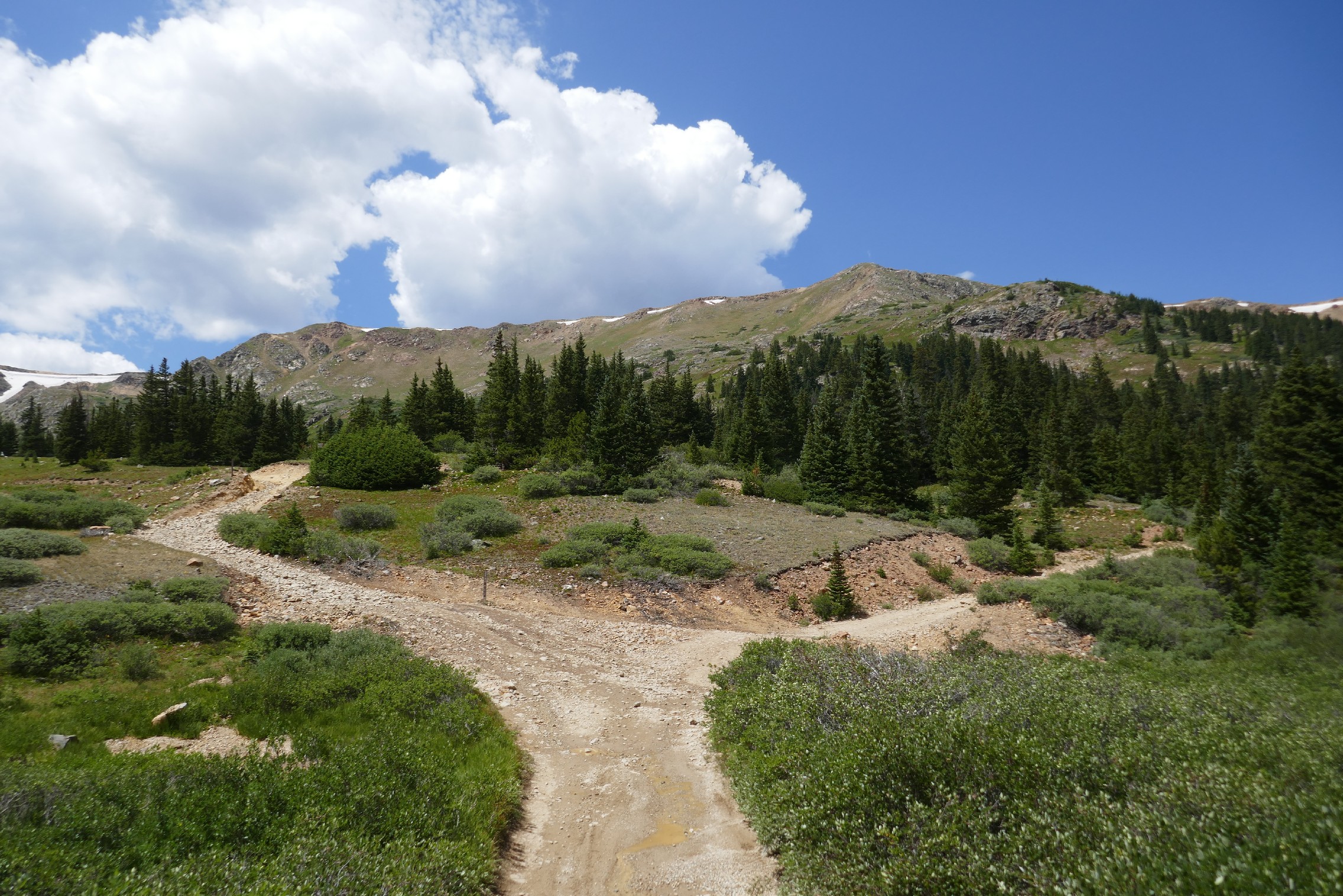
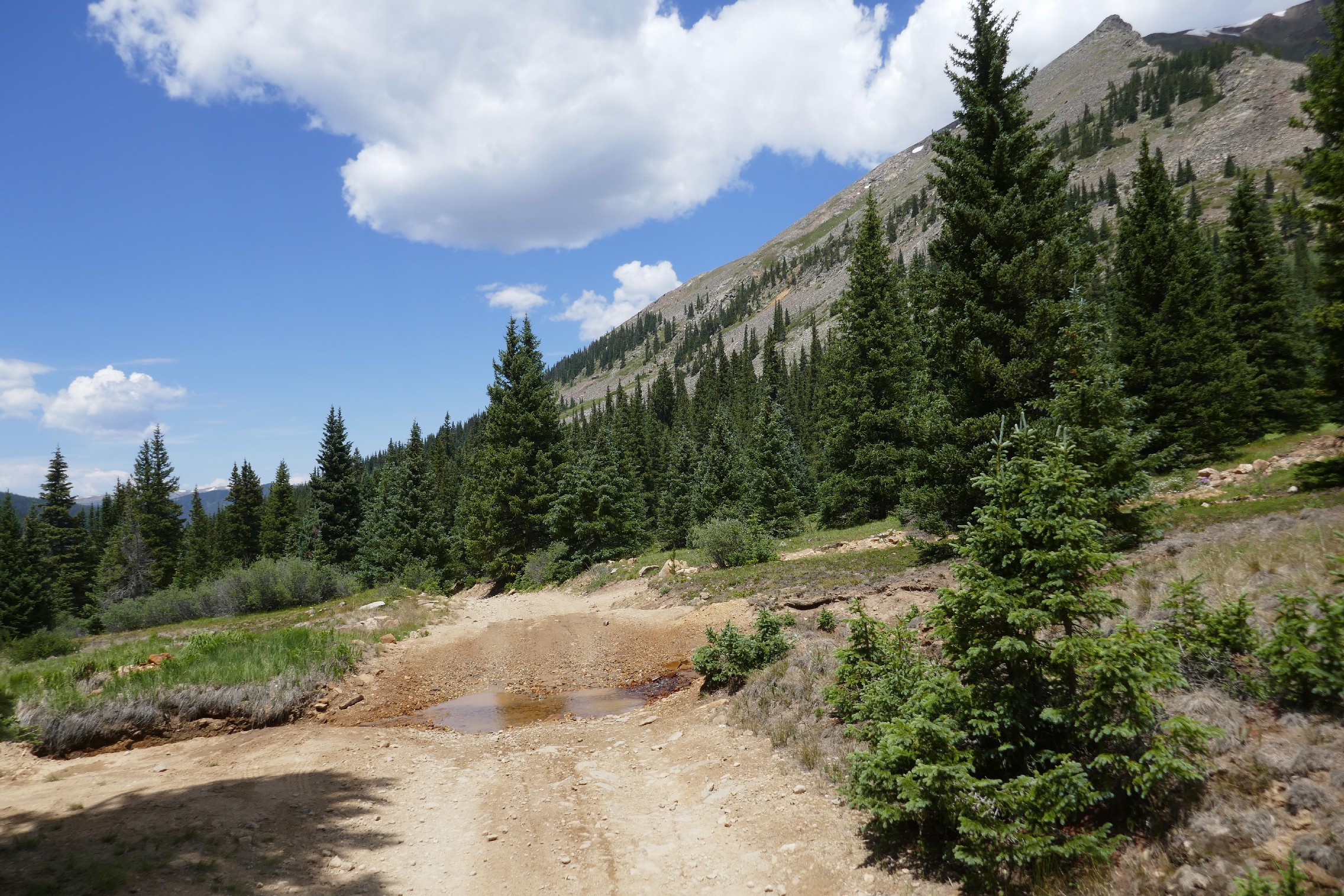
Hall Valley and the ferricrete area around the trail is kind of strange. We were surrounded by green, lush trees and mountains on both sides, but we were driving through rocks and dirt that never look like they belong there. The rock resists erosion, and it makes steps in the running water instead of smooth rock. And it's all a weird shade of orange. We took lots of pictures but didn't get out.
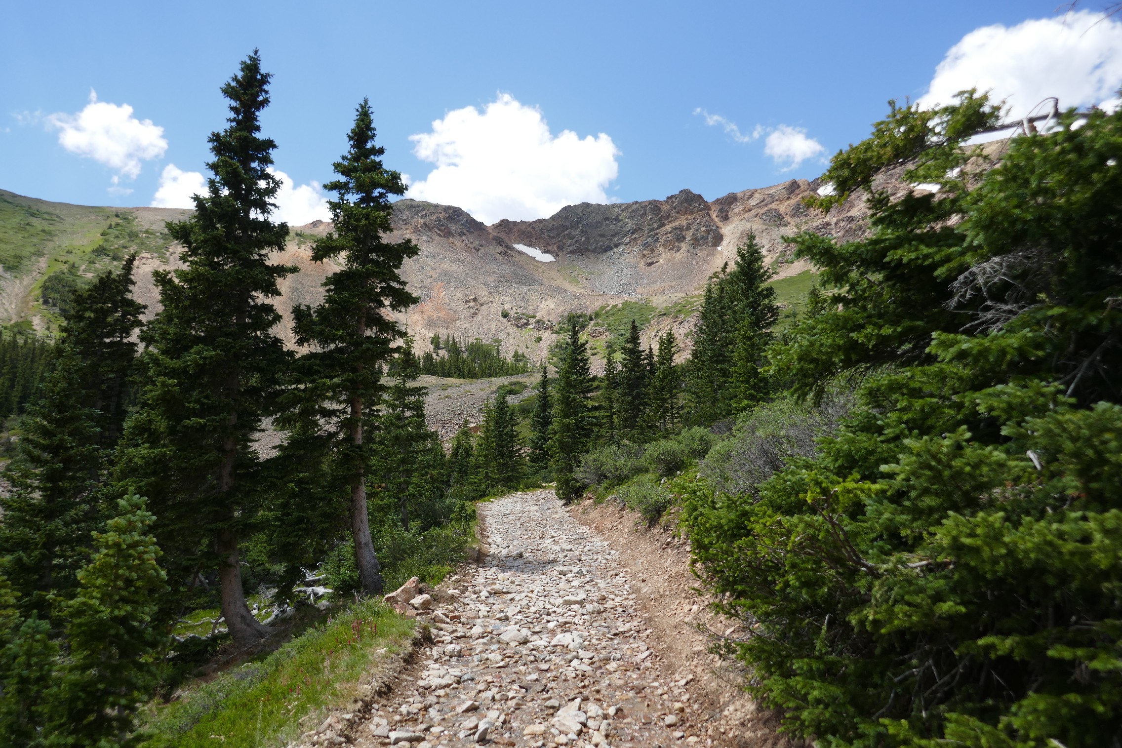
And then we could see Red Cone above us. We almost always saw vehicles on their way to the top, at the top, or on the way down the other side. They looked very small, way above us.
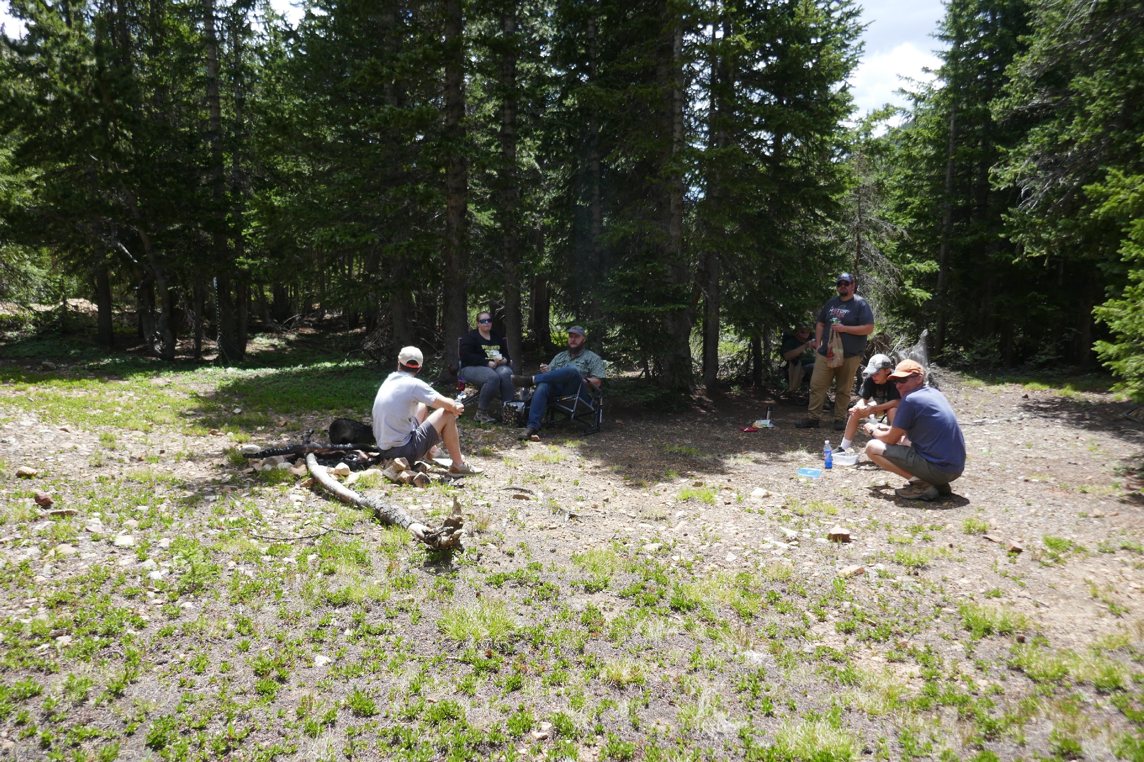
We found a spot wide enough for everyone to park off of the trail, so we stopped for lunch. Though they weren't visible from the trail, we found many fire rings just inside the trees. We gathered near one, broke out lunch, and hung out to chat for a bit.
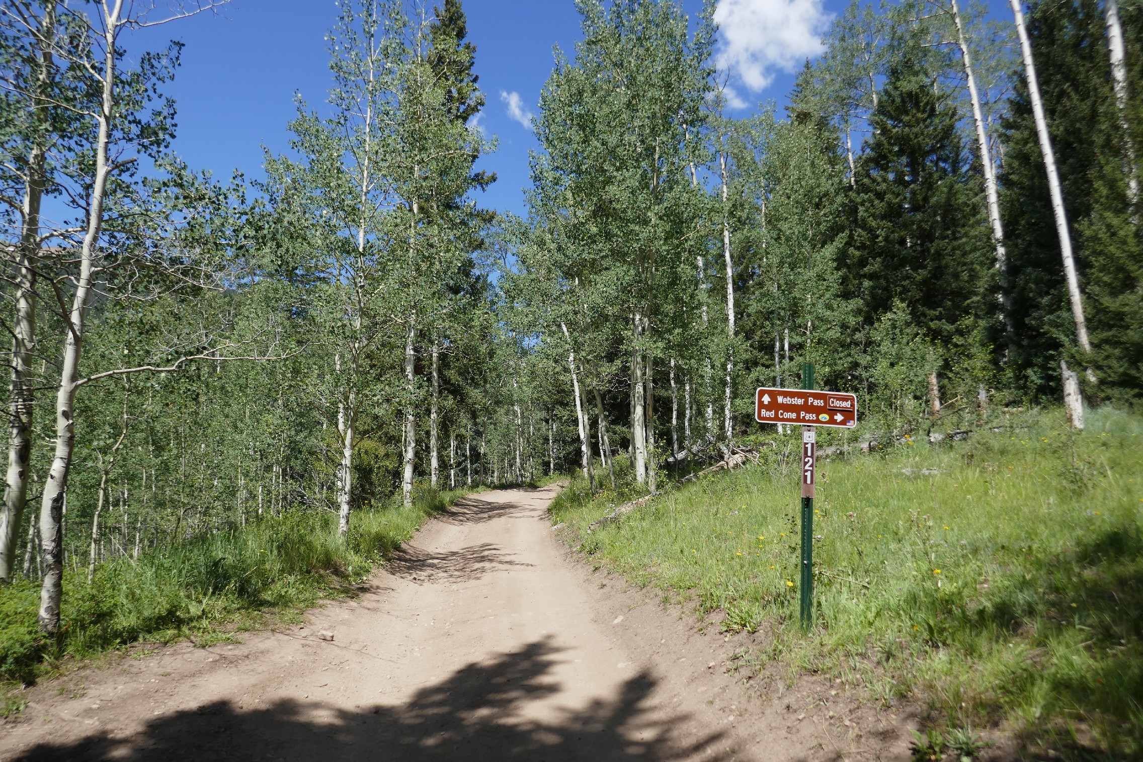
But then we were off, passing the warning sign about the narrow road. It's definitely narrow. We got lucky and only passed one person on their way down, and we were able to easily pass each other at a switchback. When we got near the top, we could see the snow packed up against the side of the trail, but our path was dry next to it. It was even more narrow, but it was plenty wide enough for our Jeeps. We even watched some other vehicles coming down Red Cone as we climbed.
At the pass, it was exactly how we expected. It was very windy, chilly, and packed with vehicles and dirt bikes. We stopped to take a picture or two but didn't get out, so we were soon on our way down the other side. It didn't take long to get down to that valley, where we saw many other vehicles parked. So we didn't get out there, either.
We had heard that Radical Hill was also blocked with snow, and it really looked like it was. But we watched side-by-sides or small vehicles work their way up, and we saw them pop out at the top. So it was open, at least for smaller vehicles.
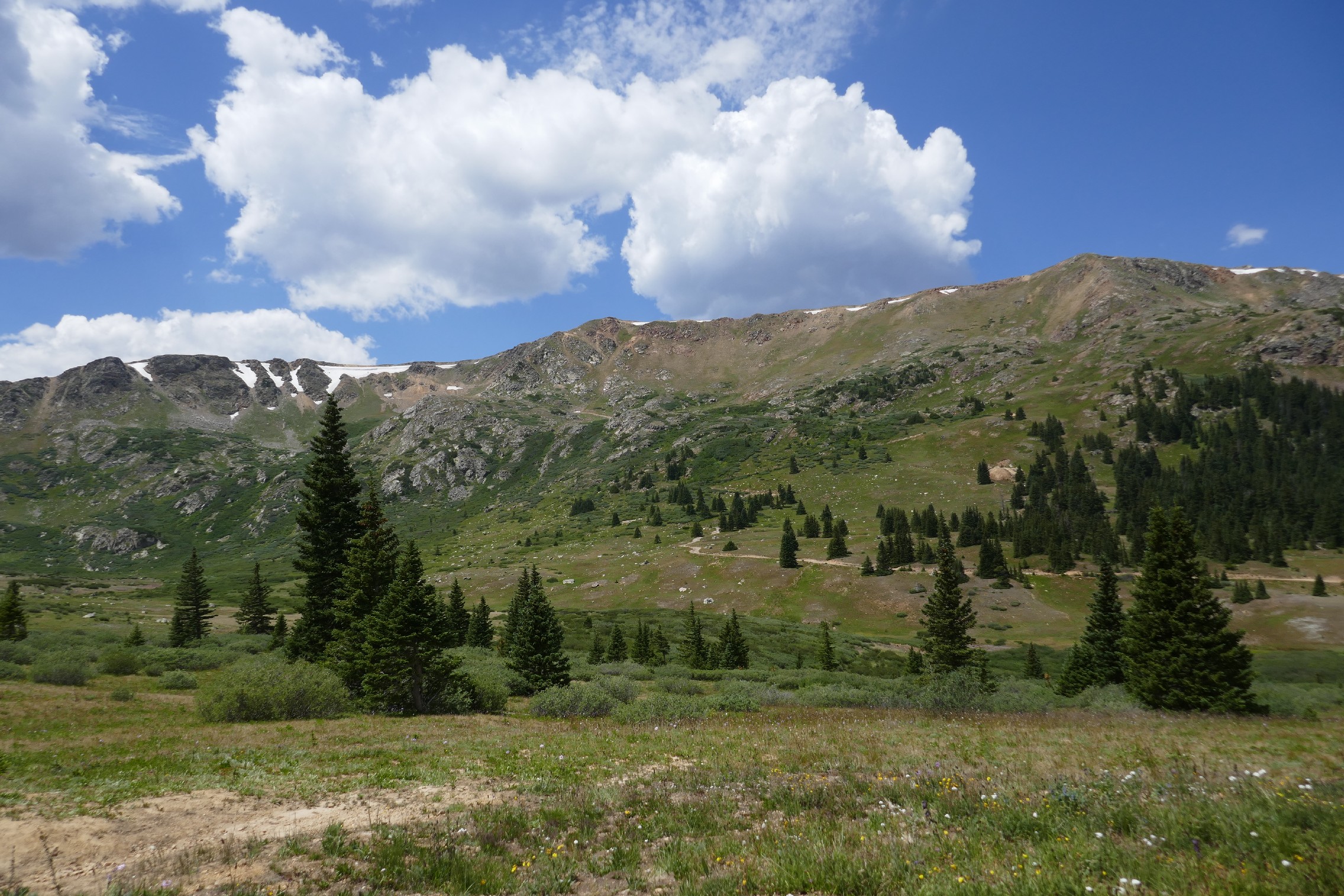
The rest of the way out to Montezuma was gorgeous, and we really enjoyed the trip. We saw a lot of people, of course, but everyone seemed happy to be out of the house. We came up to multiple groups airing up before and in the small town, and we passed them to head over to some more trails on the other side of town.

























Reports from Other Days: 5
Use the arrows or dots to flip through the previews of the other reports for Webster Pass. Click one of them to read more and see all of the photos from that day.