TrailDamage.com

Photos, videos and information about 4x4 trails in Colorado and Utah

  • Trails
    • Colorado
    • Utah
  • Reports
    • Featured Photos
    • Featured Videos
    • Reports Calendar
  • Members
  • Search
  • Trail Damage Winners
  • FAQ
  • Community
  • Upcoming Events
  • Membership
  • Log In
  • Facebook
  • Instagram
  • RSS
  • Twitter
  • YouTube

Texas Flat 101023

October 23, 2010 by Monica

Texas Flat

Trail Run on October 23, 2010
Report and photos by Monica I., Trail Leader
View trail information for Texas Flat

Walt S.
Gray 2022 Jeep Wrangler Unlimited Rubicon 392
Monica I.
Red 2010 Jeep Wrangler Rubicon

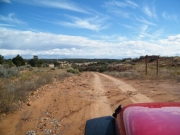
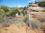
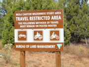
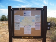
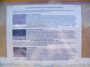
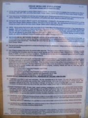
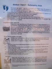
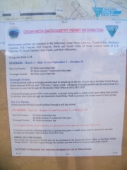
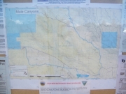
The trailhead for Texas Flat was practically right across the road from Seven Towers, so it was easy to find. We stopped to check out the trailhead sign and then we were on our way. Lots of people were parked to enjoy the hiking trail, and we worked our way through the cars. After we passed them, we had the trail to ourselves.

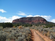
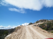
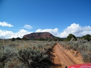
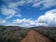
We saw tracks in the dirt in front of us, but the vehicle they belonged to had already left. You could tell that they took the curves at some speed, kicking up the wet sand. It looked like fun and we wanted to join them in their fun, but visibility wasn't good enough for it. Still, the trail was easy and we made good time.

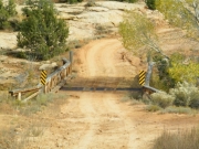
There was a short section where we had to climb a little hill on a narrow shelf road. The trail was dry, but you could see that the dirt had clay mixed in. That would make that hill climb pretty dangerous if it was wet. We were happy it had dried in the sun.

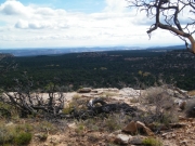
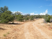
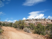
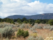
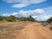
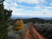
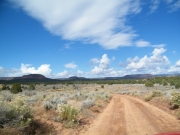
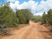
The trail on the way to the overlook was uneventful, working its way through trees. There wasn't much scenery compared to what we'd seen since we got to the Blanding area, but we were pretty spoiled by the Valley Of The Gods and other areas.

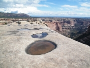
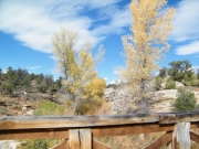
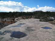
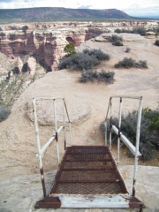
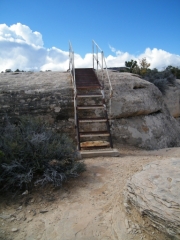
The overlook spur was a little more challenging, but nothing too serious. It was short, with lots of room to park. We walked a short distance and were surprised to find a set of steel steps with railings that made it easy to get down to a lower slab of slickrock. The handwriting in the cement said it was put there by Boy Scouts in the 90s. Cool!

The other cool part is that we had seen a picture of someone on those stairs the day before in the Blanding Visitor's Center. It was marked with the caption "This Could Be You!" or something similar.

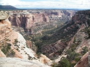
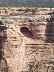
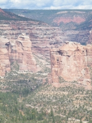
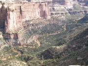
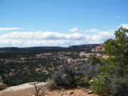
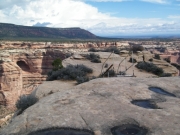
The view of Arch Canyon was incredibly beautiful. We could see the trail in the canyon, and we intended to be there in a short time. Little did we know that the trail was too washed out to drive, but we'd find that out later.

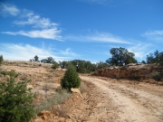
We enjoyed the scenery for a bit and then we headed on to finish the trail. After the overlook spur, the trail wasn't maintained. There were big cracks from water erosion all over the place, making the trail a mess. We went through it, only to find the trail ended in the trees. There wasn't even a turnaround spot. It was pretty small, but luckily there were only our two vehicles.

We got turned around and headed back. It was so hard to resist the urge to drive fast, but we were strong. It wasn't long before we were back at the pavement and backtracking a bit to Comb Ridge.

arch_canyon_part_1
arch_canyon_part_2
arch_canyon_part_3
arch_canyon_part_4
arch_canyon_part_5
aspens_at_the_bridge
big_view
bluff
bridge
bumpy
climbing
curving_climb
dangerous_when_wet
desert
early_trail
fencing
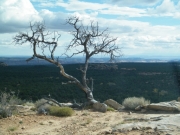
gnarled_tree
hiking_trail
mellow_trail
past_the_overlook
puffy_clouds
rough_trail
sky
slickrock_walk
steps_part_1
steps_part_2
steps_part_3
texas_flat
through_trees
trailhead_part_1
trailhead_part_2
trailhead_sign_1
trailhead_sign_2
trailhead_sign_3
trailhead_sign_4
trailhead_sign_5
trailhead_sign_6
trailhead_sign_7
trailhead_sign_8
trailhead_sign_9
water_hole
Join Us!
If you aren’t a Member or Subscriber, you can’t see all of the content on this site. Get membership information to see why this site is best when you join and log in
Information for Subscribers

When you log in you’ll see more information here:

  • Recent Community Forum posts
  • Recent polls
  • Upcoming Events you can attend
  • Links to online users

© 2000-2023 · TrailDamage.com · Terms and Conditions · About · Contact
Trail information is only accurate on the date posted. Trails may have changed or closed since that date. Use this information for historical purposes only.
Contact the Forest Service or Bureau of Land Management for up-to-date trail information.

/* ----------------------------------------- */ /* View slug: reports-other-reports-for-same-trail-slider - start */ /* ----------------------------------------- */ /* place the prev/next controls on the sides */ .td-transition-controls .wpv-filter-next-link, .td-transition-controls .wpv-filter-previous-link { border: none; font-size: 300%; position: absolute; top: 70px; } .td-transition-controls .wpv-filter-previous-link { left: 0; } .td-transition-controls .wpv-filter-next-link { right: 0; } /* center the page selector horizonatally */ .td-transition-controls ul.wpv_pagination_dots { text-align: center; margin-top: 10px; } /* center the page selector horizonatally */ .td-transition-controls ul.wpv_pagination_dots li.wpv_pagination_dots_item, .td-transition-controls .wpv_pagination_dots li a { display: inline-block; float: none; } /* remove the default styles */ .td-transition-controls .wpv_pagination_dots li a { text-decoration: none; border-bottom: none; } .td-slider-container { padding: 0 25px; margin-bottom: 20px; position: relative; width:100%; display:table; } .td-slides { position: relative; } .td-slides-image { float:left; display:table-cell; } .td-slides-image img { border:1px solid #c0c0c0; } .td-slides-content { padding:4px 4px 4px 10px; border-top:1px solid #c0c0c0; border-right:1px solid #c0c0c0; border-bottom:1px solid #c0c0c0; display:table-cell; height:227px; overflow:hidden; } .td-slides-content h3 { margin-top:8px; } .td-slides-leader { font-size:smaller; margin-top:4px; } /* ----------------------------------------- */ /* View slug: reports-other-reports-for-same-trail-slider - end */ /* ----------------------------------------- */
/* ----------------------------------------- */ /* Content Template: Template for a Single Report - start */ /* ----------------------------------------- */ .entry-header { display:none; } .entry-content h1 { margin-top:16px; padding-top:0; } h1 a { color:#222; } h1 a:hover { color:#666; } p.entry-meta { font-size:small; } #report-body-spacer { clear:both; width:100%; height:20px; } #addtoany-bar { margin-bottom:2em; text-align:center; } .category-reports .post-info .author, .post-info .date { display: none; } .addthis_recommended_horizontal { text-align:center !important; } /* ----------------------------------------- */ /* Content Template: Template for a Single Report - end */ /* ----------------------------------------- */ /* ----------------------------------------- */ /* Content Template: Loop item in REPORTS Runners - start */ /* ----------------------------------------- */ #runners-container { width:100%; clear:both; } .runner { border:1px solid #c0c0c0; margin:0 6px 6px 0; float:left; width:49%; height:81px; } .runner-image { float: left; } .runner-image img { margin:2px 10px 0 2px; height:75px; width:75px; } .runner-name { text-transform:uppercase; } .runner-name a { color:#222; } .runner-name a:hover { color:#666; } .runner-vehicle { font-size:small; } @media only screen and (max-width: 768px) { .runner { width:100%; } } /* ----------------------------------------- */ /* Content Template: Loop item in REPORTS Runners - end */ /* ----------------------------------------- */