Rollins Pass West
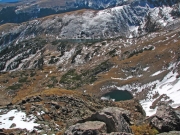
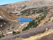
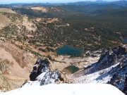
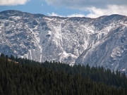
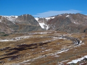
We left Downieville at 8:45AM and proceeded via Berthoud Pass to the trailhead near Winter Park. Our intent was to drive to near Rollins Pass and hike southward along the Continental Divide to photograph the tarn lakes in the bottoms of the glacier cirques located straight down the east side of the divide.
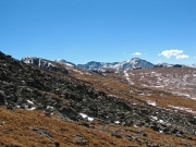
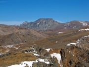
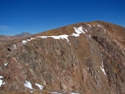
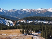
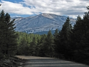
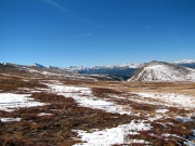
In the upper areas of the forest we noticed the potholes and other areas of standing water were ice covered. Snow covered the ground near Riflesight and timberline with minor amounts on the trail. At higher elevations the wind had blown most of the snow away.
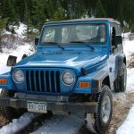
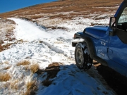
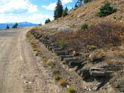
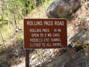
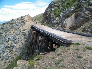
After visiting Rollins Pass, we started up the old Boulder Wagon road which parallels the railroad grade and is about 200 feet higher. Within a few hundred feet we encountered a small dip which was filled with snow. Mark's wheels just spun, and some work with the shovel did not help. Fortunately, two jeeps we had seen earlier were now coming up the trail. We waved, and they came to assist us. Their weight and pushing on the front did not help, so we got out the tow strap. In a second or two Mark was firmly on the ground. We then noted that the jeep skid plates had been supported by the snow -- they had pulled a sled with wheels.
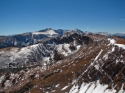
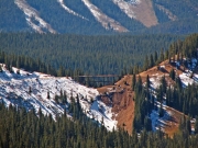
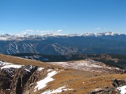
We proceeded down the trail and parked next to a Continental Divide trail sign. We hiked up the ridge to photograph the Forest Lakes and then southward to above the Arapaho Lakes. We continued southward, but after another mile we decided it was time to head back.
Reports from Other Days: 3
Use the arrows or dots to flip through the previews of the other reports for Rollins Pass West. Click one of them to read more and see all of the photos from that day.
