


TrailDamage.com

Photos, videos and information about 4x4 trails in Colorado and Utah

  • Trails
    • Colorado
    • Utah
  • Reports
    • Featured Photos
    • Reports Calendar
  • Members
  • Search
  • FAQ
  • Community
  • Upcoming Events
  • Membership
  • Log In
  • Facebook
  • Instagram
  • RSS
  • Twitter
  • YouTube
  • Trails
    • Colorado
    • Utah
  • Reports
    • Featured Photos
    • Reports Calendar
  • Members
  • Search
  • FAQ
  • Community
  • Upcoming Events
  • Membership
  • Log In

Rock Creek Hills 120825

August 25, 2012 by Monica

Rock Creek Hills

Trail Run on August 25, 2012
Report and photos by Monica I., Trail Leader
View trail information for Rock Creek Hills

Bryan P.
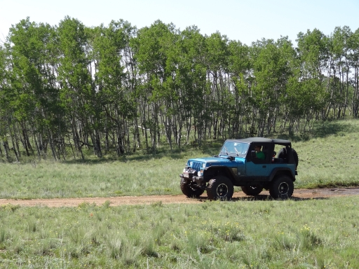
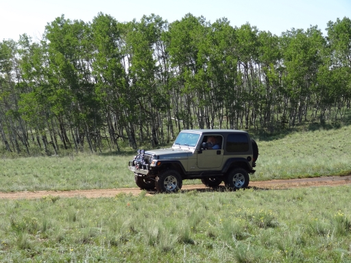
Teal 1993 Jeep Wrangler
Walt S.
Gray 2022 Jeep Wrangler Unlimited Rubicon 392
Matt K.
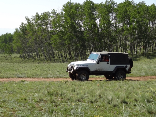
White 2016 Jeep Wrangler Unlimited Rubicon
Monica I.
Red 2010 Jeep Wrangler Rubicon
Roger R.
Gray 2021 Jeep Wrangler Rubicon 4xe

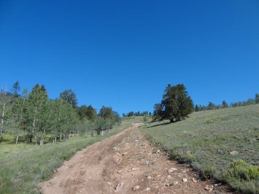
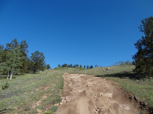
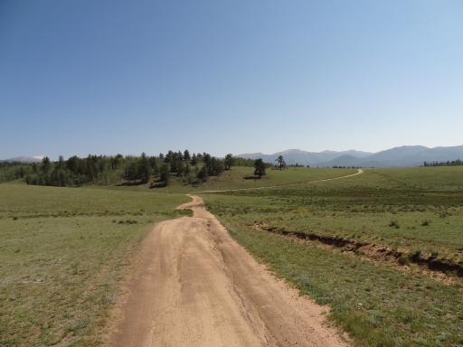
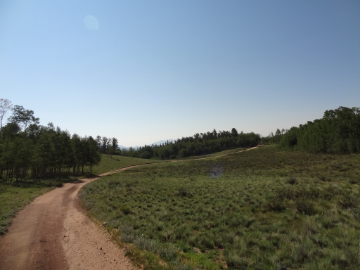
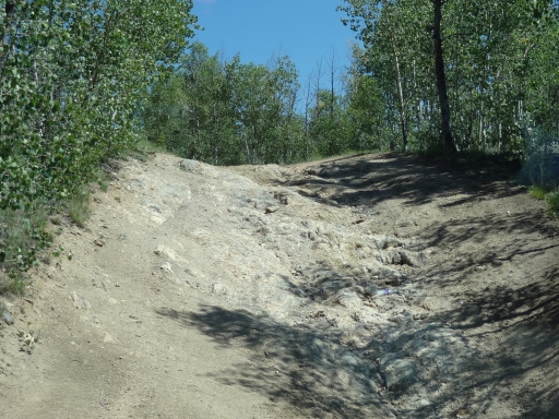
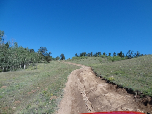
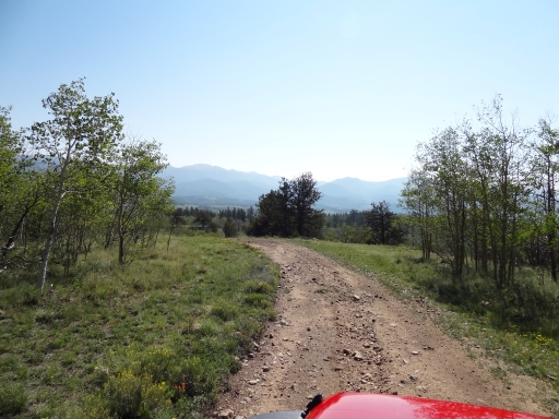
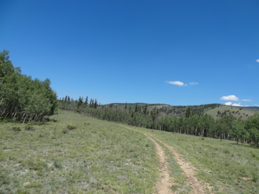
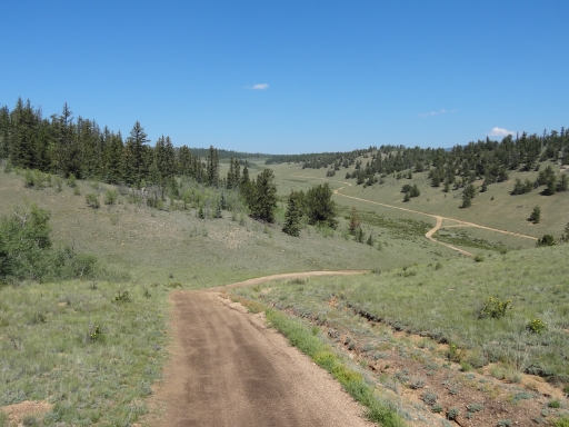
We looked at the maps and found a huge network of trails around the Jefferson Cutoff trail, but we had no idea how to tackle them. We plotted a few figure eights and loops, and though we'd be running some sections a couple times we figured we'd see all of it. It was time to go exploring.

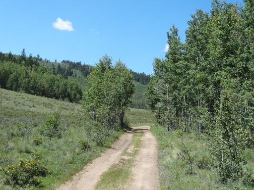
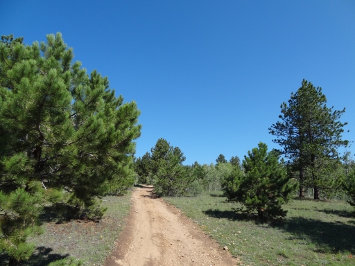
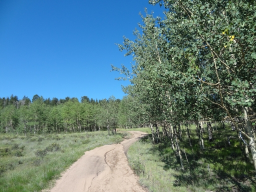
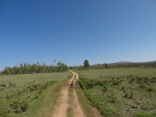
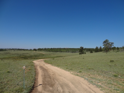
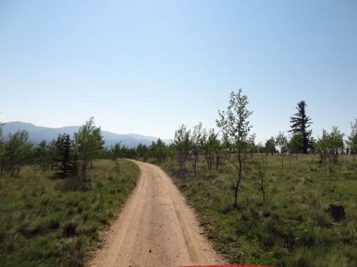
The first part of the trail was easy to follow, and we could tell it was going to be a relaxing trip even though we'd be cross-checking maps all day. Everyone was up for a little confusion, so it was good.

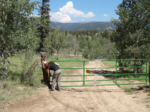
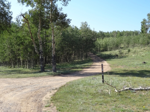
We found a few spurs that were closed, and a few blocked by the private property at the Ingram Ranch. The western section near Monahan Gulch was a bust. We even ended up on a trail that was marked closed when we got to the end of it even though it was open on the other end. Still, we made a path through it.

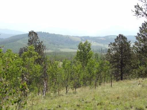
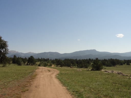
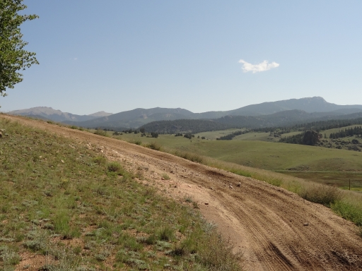
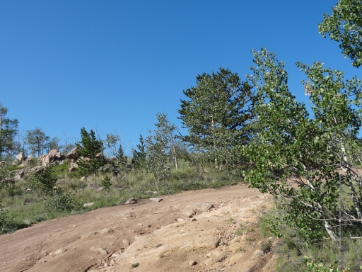
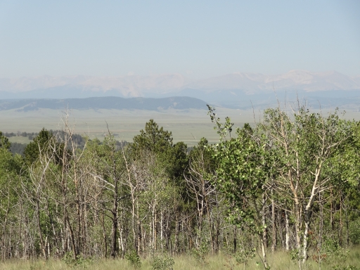
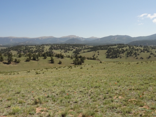
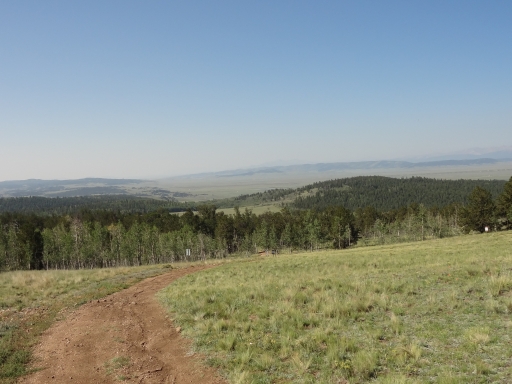
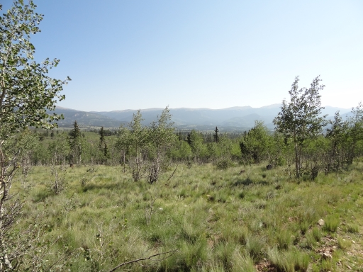
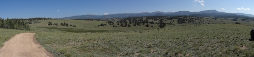
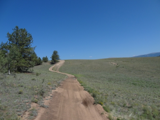
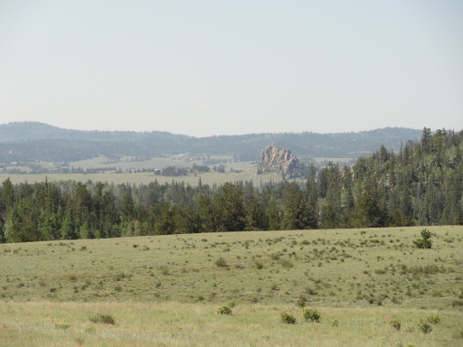
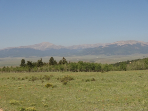
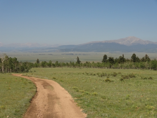
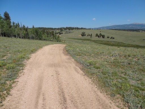
Everyone probably enjoyed the southeast end the most. There was a nice collection of hills, and we didn't see as many people out there. We found a great campsite for lunch that wasn't occupied, and we had a relaxing time staring at the scenery and enjoying the cool breeze. It really was the perfect type of weather for exploring.

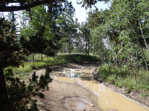
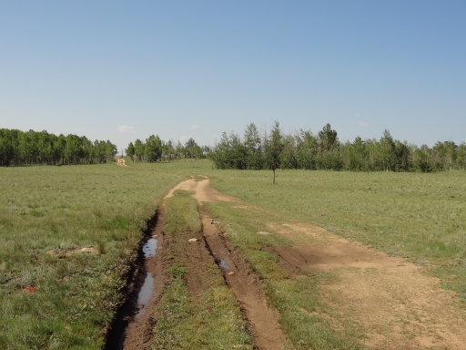
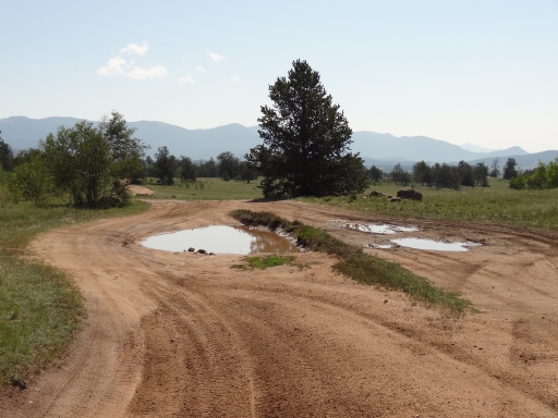
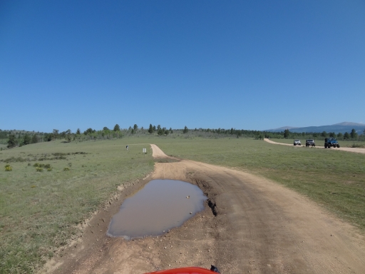
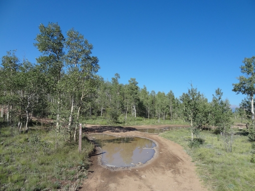
We found ourselves at Mud Hill eventually, though, and we felt like we'd seen most of the area. We even found quite a few mud puddles, and they were fun. It was a great place for exploring and hanging out.

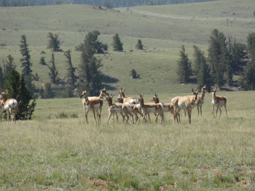
antelope_in_scenery
antelope
aspens_with_a_view
between_trees
big_park
blue_skies
bryan_on_the_trail
bumpy
climbing
colorado_scenery
curved_climb
early_trail
eroded
exposed_rock
flowers
gate
greens
hazy_hills
kenosha_mountains
little_clouds
little-used_trail
long_puddle
long_trail_ahead
matt_on_the_trail
meadow_views
mountain_view
muddy_ruts
near_the_end
next_to_jefferson_cutoff
open_views
panorama
patches_of_trees
patchy
puddle_in_a_curve
rock_formations
rocky_section
roger_on_the_trail
rutted
see_for_miles
short_trees
small_rocks
timberline
toward_the_kenosha_mountains
trail_through_mud
trail_with_a_view
trailhead_sign
trailhead
two-track
walt_on_the_trail
waves_of_trail
Join Us!
If you aren’t a Member or Subscriber, you can’t see all of the content on this site. Get membership information to see why this site is best when you join and log in
Information for Subscribers

When you log in you’ll see more information here:

  • Recent Community Forum posts
  • Recent polls
  • Upcoming Events you can attend
  • Links to online users

© 2000-2026 · TrailDamage.com · Terms and Conditions · About · Contact
Trail information is only accurate on the date posted. Trails may have changed or closed since that date. Use this information for historical purposes only.
Contact the Forest Service or Bureau of Land Management for up-to-date trail information.