TrailDamage.com

Photos, videos and information about 4x4 trails in Colorado and Utah

  • Trails
    • Colorado
    • Utah
  • Reports
    • Featured Photos
    • Featured Videos
    • Reports Calendar
  • Members
  • Search
  • Trail Damage Winners
  • FAQ
  • Community
  • Upcoming Events
  • Membership
  • Log In
  • Facebook
  • Instagram
  • RSS
  • Twitter
  • YouTube

Reds Canyon 150524

May 24, 2015 by Monica

Reds Canyon

Trail Run on May 24, 2015
Report and photos by Monica I., Trail Leader
View trail information for Reds Canyon

Monica I.
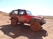
Red 2010 Jeep Wrangler Rubicon
Walt S.
Gray 2018 Jeep Wrangler Unlimited Rubicon
Matt K.
White 2016 Jeep Wrangler Unlimited Rubicon

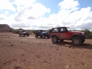
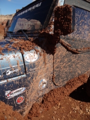
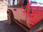
When we started the day, Walt and Monica had Jeeps still covered in mud from our previous days. Matt kept washing his, and it started off clean. When we were up on Hidden Splendor, the trail was dry. But down in Reds Canyon it was muddy, and Matt's car wash ended up being a waste.

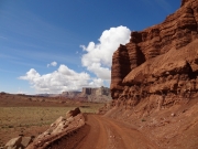
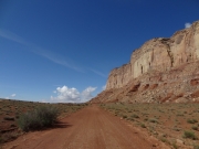
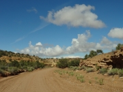
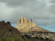
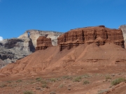
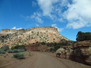
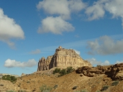
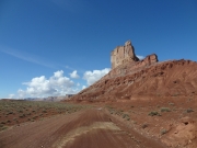
We started at the northern end of the trail. It was instantly gorgeous, with Family Butte towering over everything. We wanted to do the trail next to it, but there just wasn't enough time. We'll save that one for another trip.

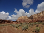
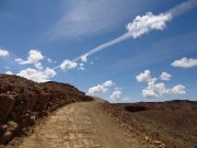
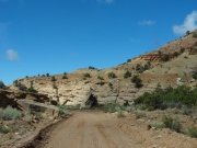
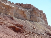
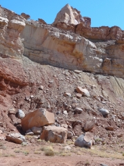
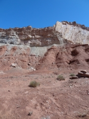
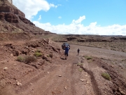
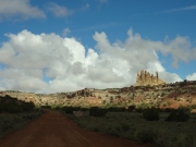
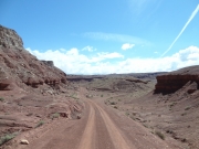
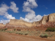
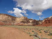
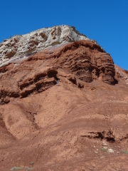
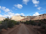
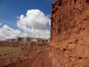
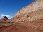
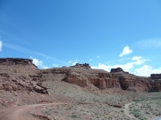
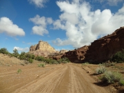
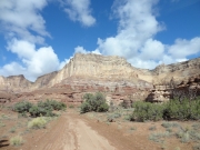
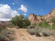
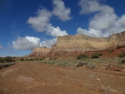
The trail got curvier, and then we started heading downhill pretty quickly. Even though it was steep and the trail was often near an edge, it was still pretty easy. The rim of the canyon was steep and gorgeous, and we got closer to Square Top and then passed it.

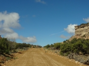
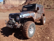
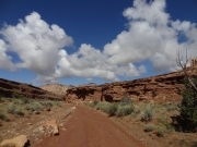
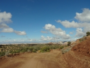
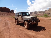
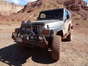
It had rained the night before as well as during many of the previous days, and it was muddy. There were long patches of sloppy mud as we followed the wash. It was never very deep or particularly slick, but it was sticky enough to stay with our tires long enough to throw the mud all over our Jeeps. Matt's tires stick out past his fender flares, and he probably got the worst of it. We never went very quickly in an attempt to keep most of the mud on the trail.

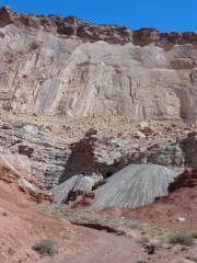
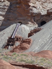
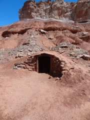
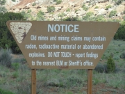
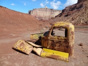
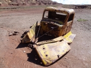
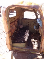
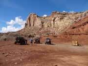
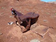
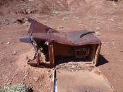
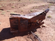
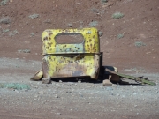
We skipped the Lucky Strike Mine and other spurs, making sure we had time for our long day of trails. When we got to the other side of Tomsich Butte, we didn't know that the other side was much more interesting so we stopped for a break next to an old car. We ran all over the place, and Matt did his best to climb up to a mine. He also found a cross on the side of the hill with no explanation.

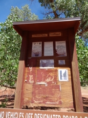
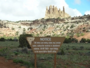
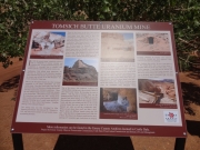
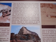
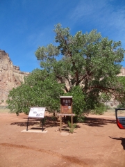
Of course, the other side of the butte is the main attraction. When we got to the big intersection, we headed around to the other side of Tomsich Butte. There was a lot to see, and we had the place to ourselves. We read the information on the kiosk and marveled about the history of the area.

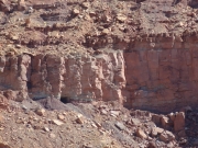
Matt went off to check out the Dirty Devil Mines while Monica and Walt went to see how close they could get to the Merry-Go-Round. They didn't get very far, though there were some nice camping spots near the river in that area.

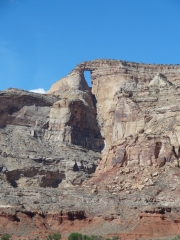
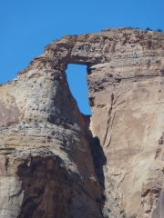
The arch was really cool, though pretty far away. We didn't go to check out the start of the Chute of the Muddy Creek hike, but we wanted to do that hike during another trip. Too much to do in too little time, as always.

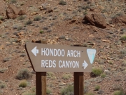
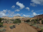
We soon left Reds Canyon and headed through Hondu Country to connect back with Hidden Splendor. This was a really awesome side trip.

around_tomsich_butte
break_time
brush
canyon_view
climbing_out
cracked_trail
curve
dirty_devil_mine_part_1
dirty_devil_mine_part_2
dirty_devil_mine_part_3
dirty_devil_mine_part_4
dirty_devil_mine_part_5
early_trail
easy_trail
exploring
family_butte_part_1
family_butte_part_2
gunpowder_magazine
hondu_intersection
hondu_kiosk
hondu_part_1
hondu_part_2
hondu_part_3
hondu_sign
into_the_canyon
lines_of_color
lucky_strike_mine_canyon
matt_climbing
matt_muddy_part_1
matt_muddy_part_2
mellow_wash
mine_danger_sign
mine_shaft
monica_muddy_part_1
monica_muddy_part_2
morning_shadows
old_car_part_1
old_car_part_2
old_car_part_3
old_car_part_4
old_car_part_5
old_car_part_6
old_car_part_7
open_space
out_of_the_canyon
puffy_clouds
red_curves
red_dirt
red_wall
refridgerator_part_1
refridgerator_part_2
refridgerator_part_3
sign_in_scenery
southern_end
square_top_part_1
square_top_part_2
strips_of_shadows
sulphur_canyon
tomsich_butte_sign_part_1
tomsich_butte_sign_part_2
tomsich_cottonwood
trailhead_sign
unnamed_butte
wall
walt_in_scenery
walt_muddy
walt_near_muddy_creek
wash
Join Us!
If you aren’t a Member or Subscriber, you can’t see all of the content on this site. Get membership information to see why this site is best when you join and log in
Information for Subscribers

When you log in you’ll see more information here:

  • Recent Community Forum posts
  • Recent polls
  • Upcoming Events you can attend
  • Links to online users

© 2000-2021 · TrailDamage.com · Terms and Conditions · About · Contact
Trail information is only accurate on the date posted. Trails may have changed or closed since that date. Use this information for historical purposes only.
Contact the Forest Service or Bureau of Land Management for up-to-date trail information.

/* ----------------------------------------- */ /* View slug: reports-other-reports-for-same-trail-slider - start */ /* ----------------------------------------- */ /* place the prev/next controls on the sides */ .td-transition-controls .wpv-filter-next-link, .td-transition-controls .wpv-filter-previous-link { border: none; font-size: 300%; position: absolute; top: 70px; } .td-transition-controls .wpv-filter-previous-link { left: 0; } .td-transition-controls .wpv-filter-next-link { right: 0; } /* center the page selector horizonatally */ .td-transition-controls ul.wpv_pagination_dots { text-align: center; margin-top: 10px; } /* center the page selector horizonatally */ .td-transition-controls ul.wpv_pagination_dots li.wpv_pagination_dots_item, .td-transition-controls .wpv_pagination_dots li a { display: inline-block; float: none; } /* remove the default styles */ .td-transition-controls .wpv_pagination_dots li a { text-decoration: none; border-bottom: none; } .td-slider-container { padding: 0 25px; margin-bottom: 20px; position: relative; width:100%; display:table; } .td-slides { position: relative; } .td-slides-image { float:left; display:table-cell; } .td-slides-image img { border:1px solid #c0c0c0; } .td-slides-content { padding:4px 4px 4px 10px; border-top:1px solid #c0c0c0; border-right:1px solid #c0c0c0; border-bottom:1px solid #c0c0c0; display:table-cell; height:227px; overflow:hidden; } .td-slides-content h3 { margin-top:8px; } .td-slides-leader { font-size:smaller; margin-top:4px; } /* ----------------------------------------- */ /* View slug: reports-other-reports-for-same-trail-slider - end */ /* ----------------------------------------- */
/* ----------------------------------------- */ /* Content Template: Template for a Single Report - start */ /* ----------------------------------------- */ .entry-header { display:none; } .entry-content h1 { margin-top:16px; padding-top:0; } h1 a { color:#222; } h1 a:hover { color:#666; } p.entry-meta { font-size:small; } #report-body-spacer { clear:both; width:100%; height:20px; } #addtoany-bar { margin-bottom:2em; text-align:center; } .category-reports .post-info .author, .post-info .date { display: none; } .addthis_recommended_horizontal { text-align:center !important; } /* ----------------------------------------- */ /* Content Template: Template for a Single Report - end */ /* ----------------------------------------- */ /* ----------------------------------------- */ /* Content Template: Loop item in REPORTS Runners - start */ /* ----------------------------------------- */ #runners-container { width:100%; clear:both; } .runner { border:1px solid #c0c0c0; margin:0 6px 6px 0; float:left; width:49%; height:81px; } .runner-image { float: left; } .runner-image img { margin:2px 10px 0 2px; height:75px; width:75px; } .runner-name { text-transform:uppercase; } .runner-name a { color:#222; } .runner-name a:hover { color:#666; } .runner-vehicle { font-size:small; } @media only screen and (max-width: 768px) { .runner { width:100%; } } /* ----------------------------------------- */ /* Content Template: Loop item in REPORTS Runners - end */ /* ----------------------------------------- */