Red Table Mountain


We didn't know what to expect when we started the trail at its southern end. It followed the Eagle-Thomasville Road, for the most part, so what would it be like? We came off of Spring Creek Ridge and drove a very short distance north to the trailhead. We saw the Jakeman Creek trail continue west, but we wouldn't have time to see both of them. We decided to do the longer trail back up to Sylvan Lake and our campground.
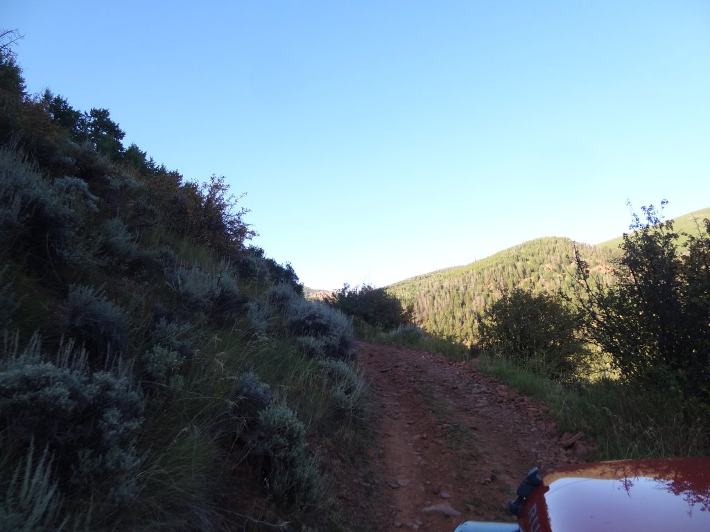
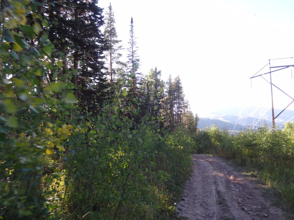
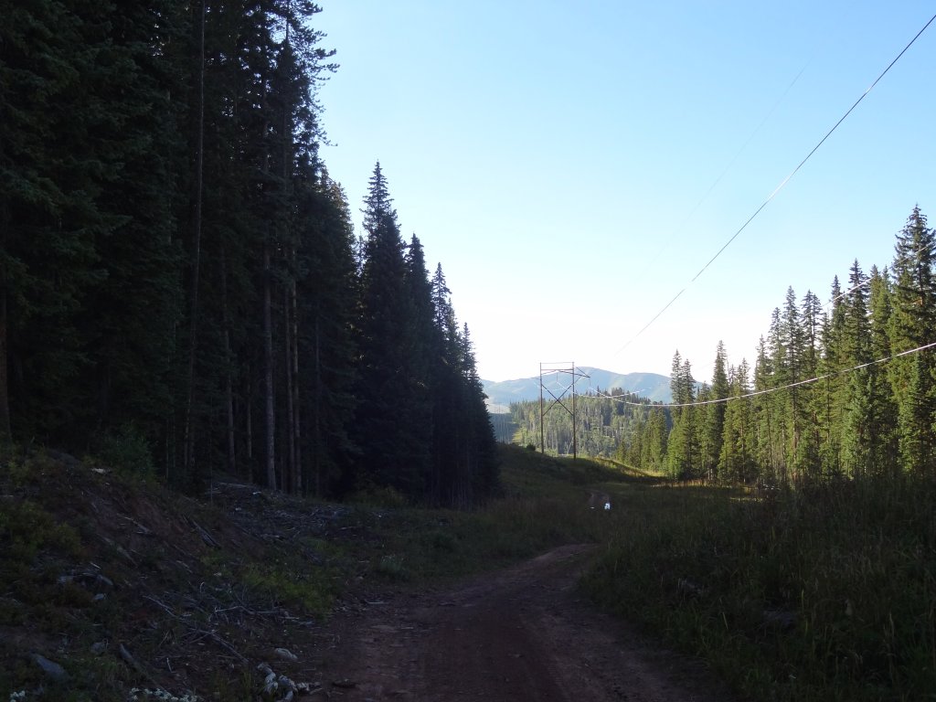
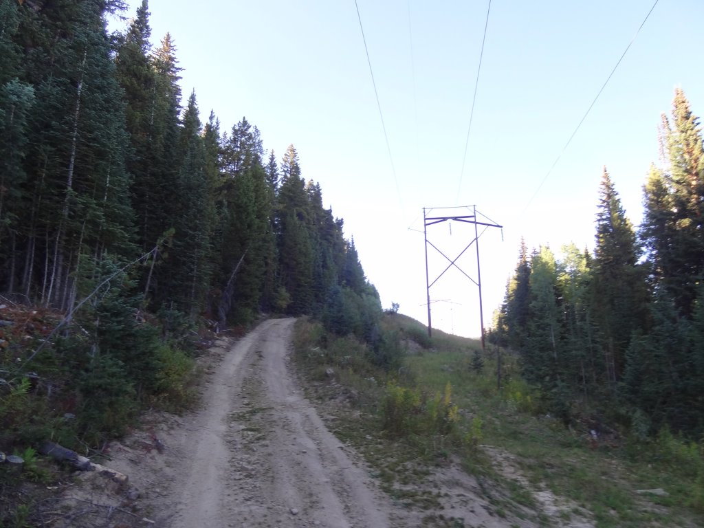
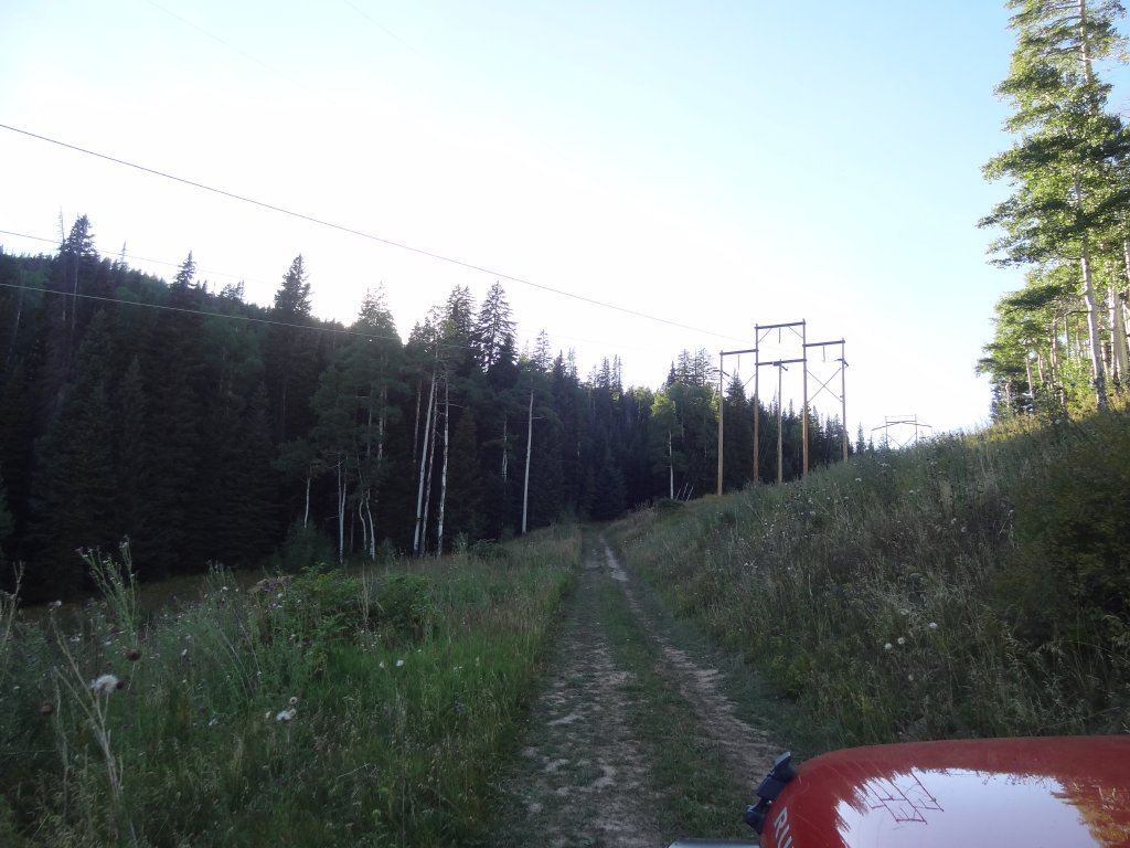
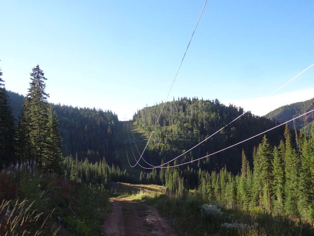
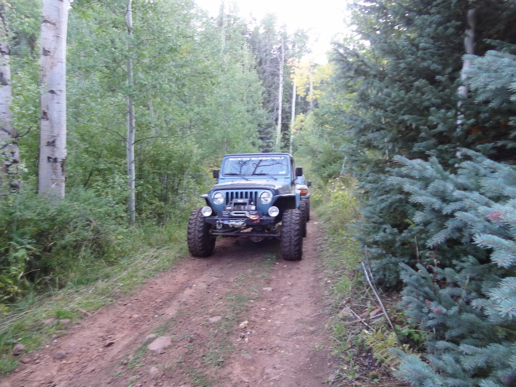
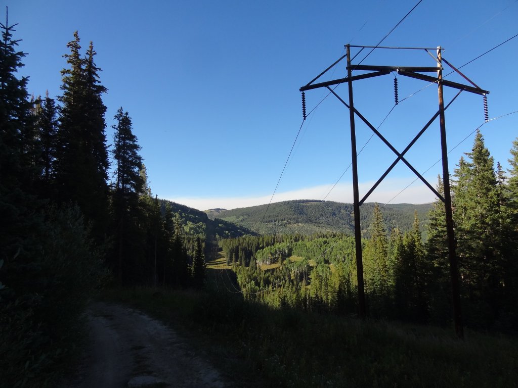
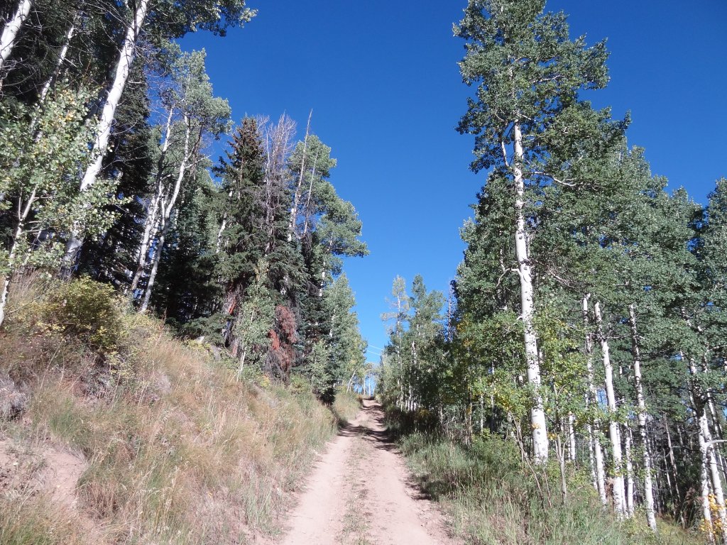
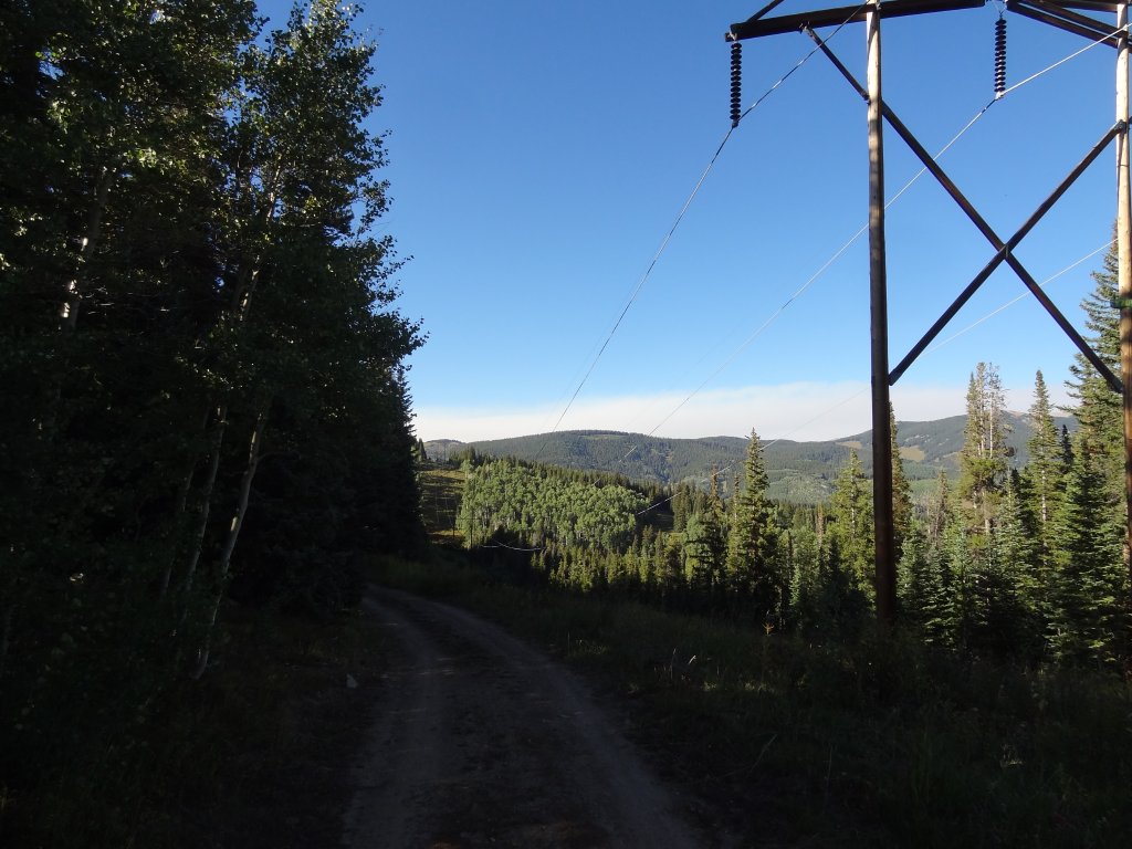
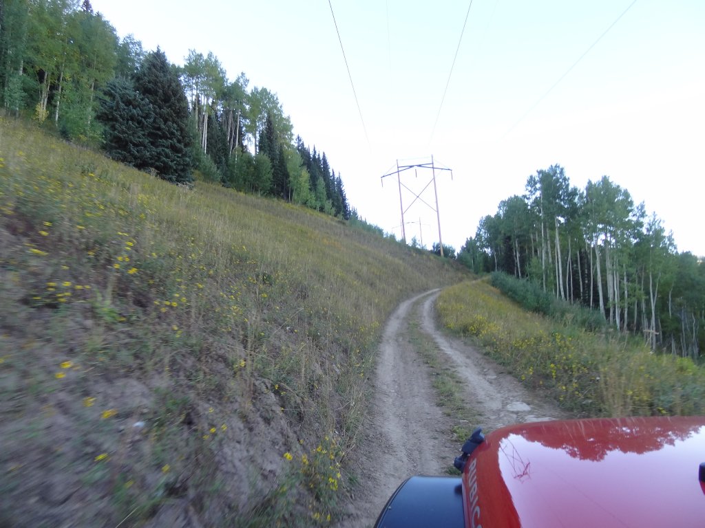
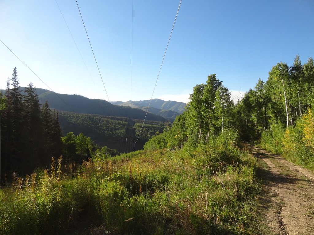
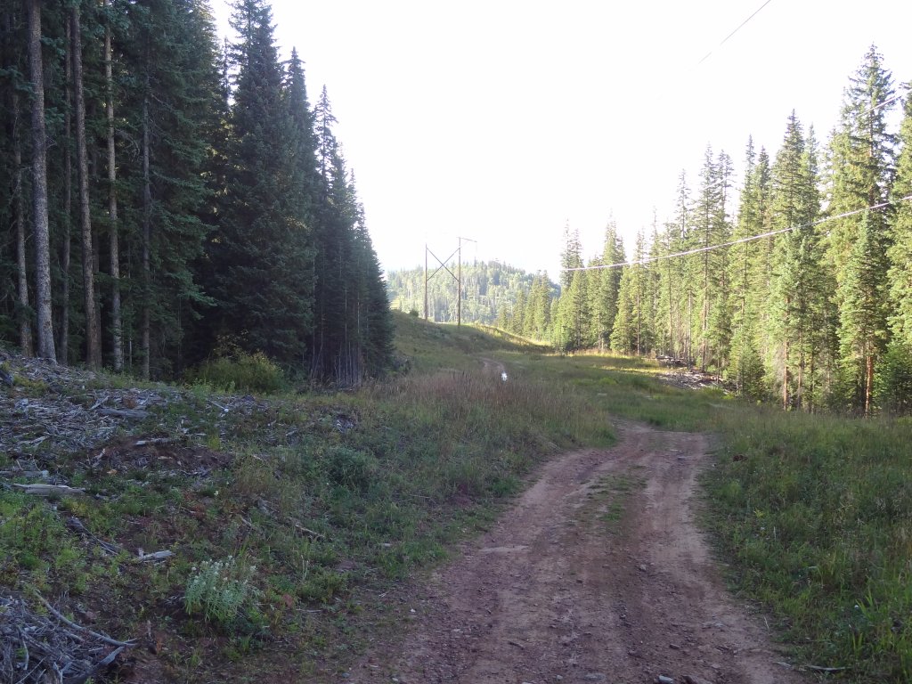
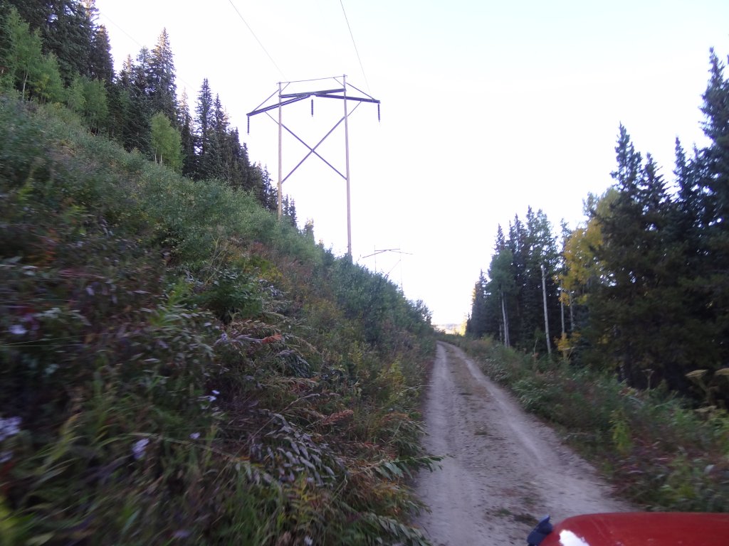
We knew right away that this was a good decision. It was secluded and shaded as it wound its way north along the powerlines. There were big power poles with very long lines stretched between them, and we were amazed that it could be done. We drove until the sun was really low, and then we stopped to put windows and Jeep tops back on before it got really chilly.
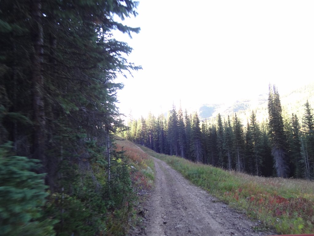
When we would get to the little connector trails that would take us east to Eagle-Thomasville Road we always skipped them, electing to keep heading north until the trail ended. The trail got rougher as we got farther north, but it was never too challenging. There were spots that were narrow and fairly steep for short distances, but no one had any issues.
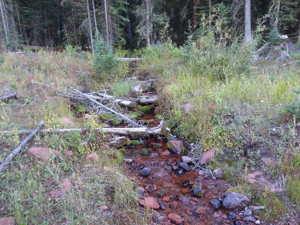
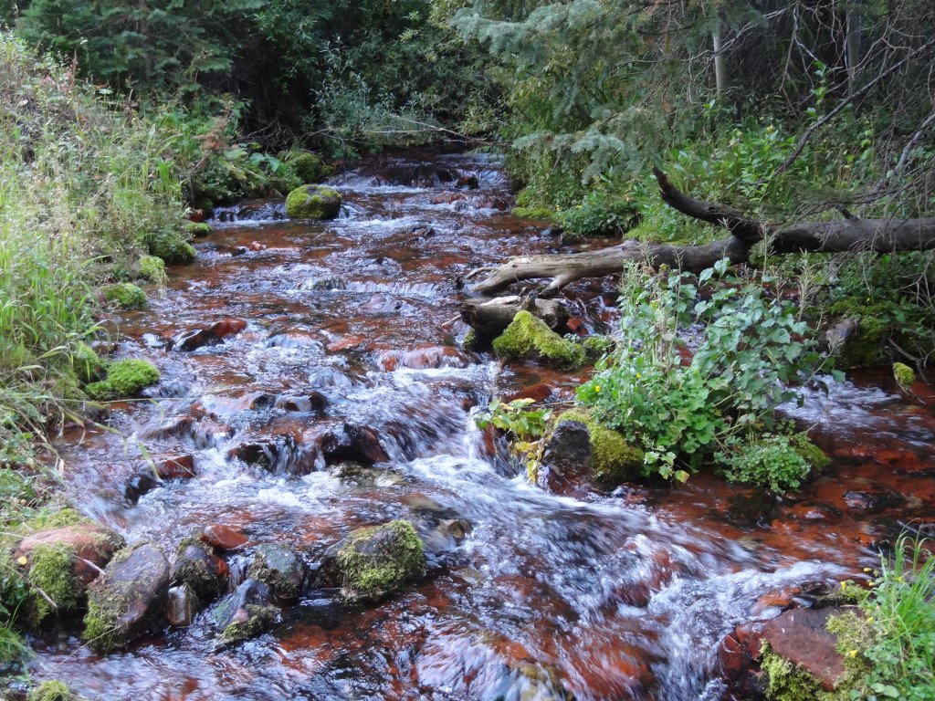
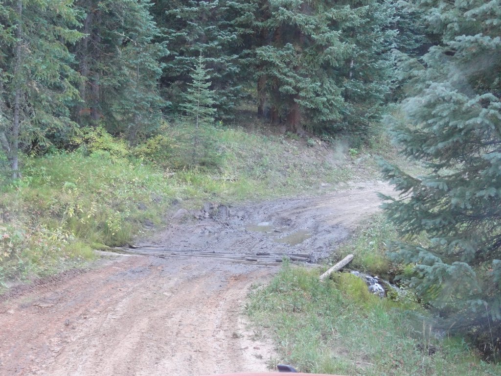
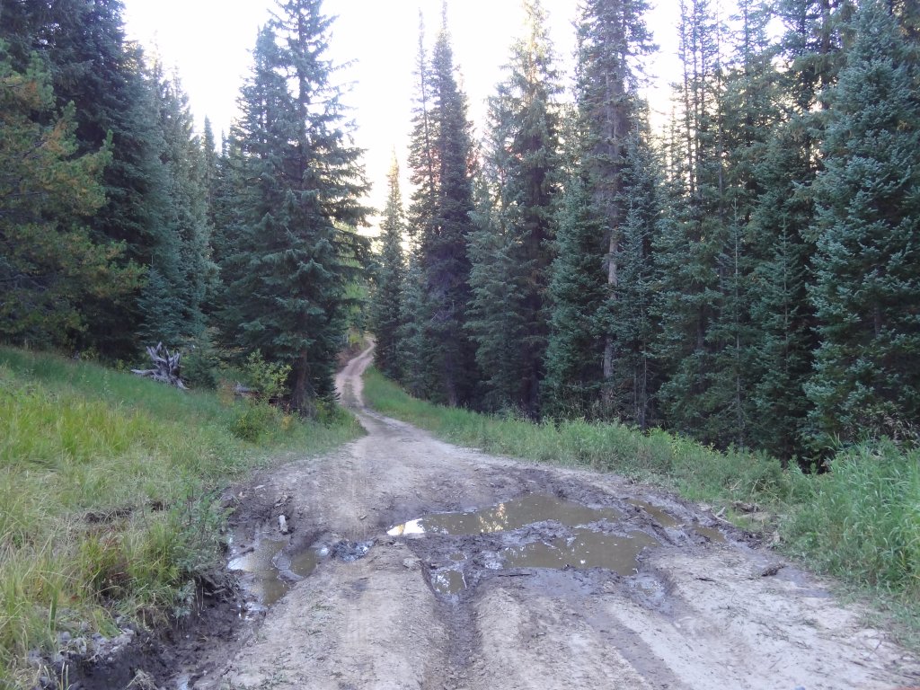
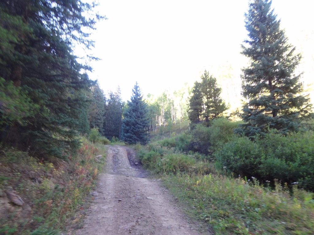
We saw a truck headed in the other direction, but we met him at a wide spot where we could pass. Otherwise, we had the trail to ourselves. We were surprised to find two water crossings, one a bit deeper than the other. It was very scenic.
When we got to the intersection with Hardscrabble Mountain Road, we took the last bit of that trail out to the Eagle-Thomasville Road. We were planning on doing Hardscrabble Mountain Road on our last day at Sylvan Lake.
The trail was a great end to our first day, even though we only had the afternoon and early evening. We were back in time to get a campfire started and enjoy the chilly evening around the warm fire, eating dinner and enjoying each others' company. The Sylvan Lake Campground was really nice, and we were off to a great start.