Porphyry Mountain


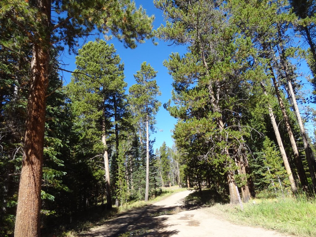
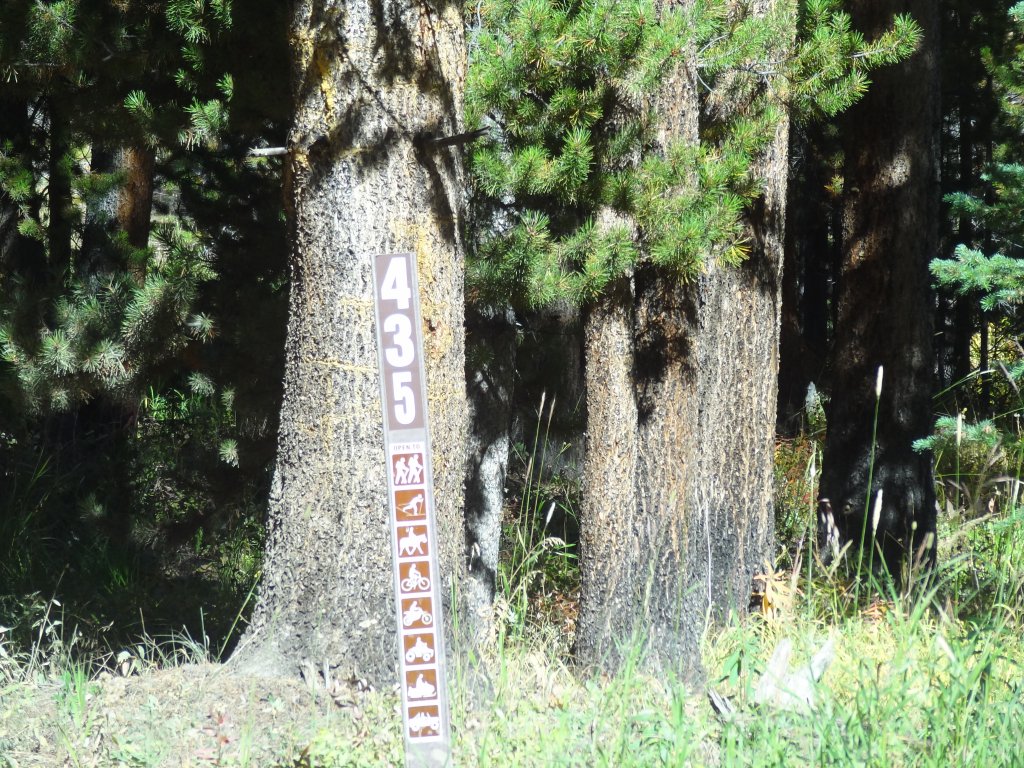
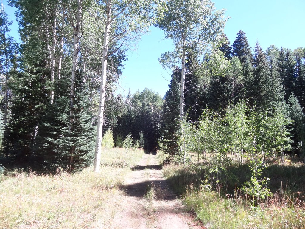
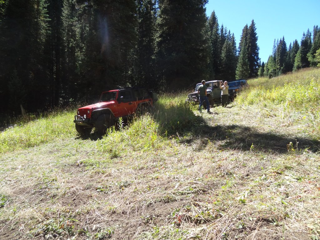
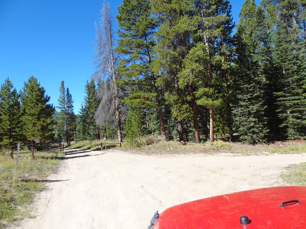
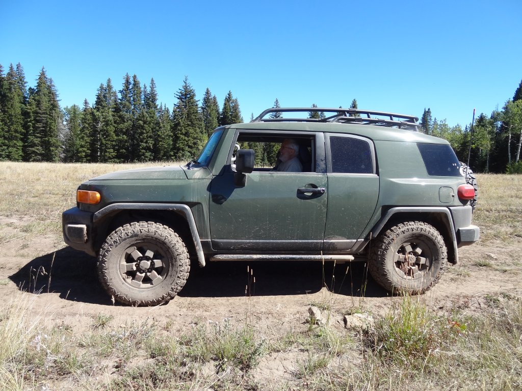
After doing Nolan Creek up to the top, we came back down the switchbacks to Porphyry Mountain. We planned on taking Bellyache Ridge out to I-70, but it had a sign on it noting it was a dead end. We had high hopes for the Porphyry Mountain trail, though, because it was at a big sign while Bellyache Mountain had no sign other than a carsonite noting the trail number. We stopped a short distance into the trail at a big area that would be perfect for camping, just to take a break.
There are lots of good camping spots at the start of the Porphyry Mountain trail. A big one in Dubach Meadows had a big group at it, with big tents and canopies set up. They were living out there for a bit, and we imagined they were scouting for the upcoming hunting season.
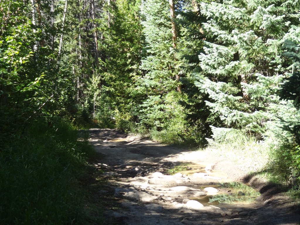
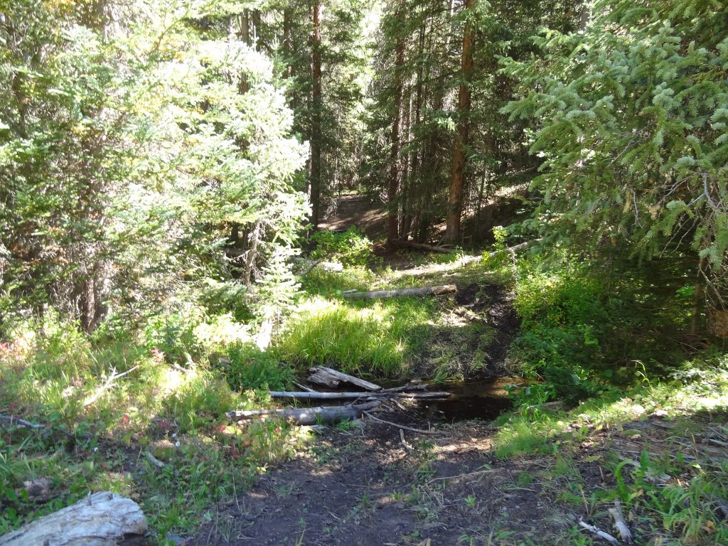
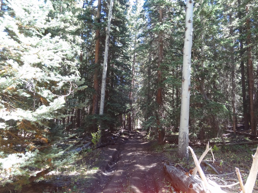
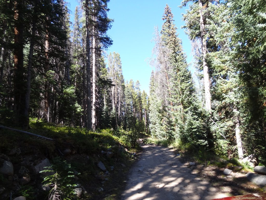
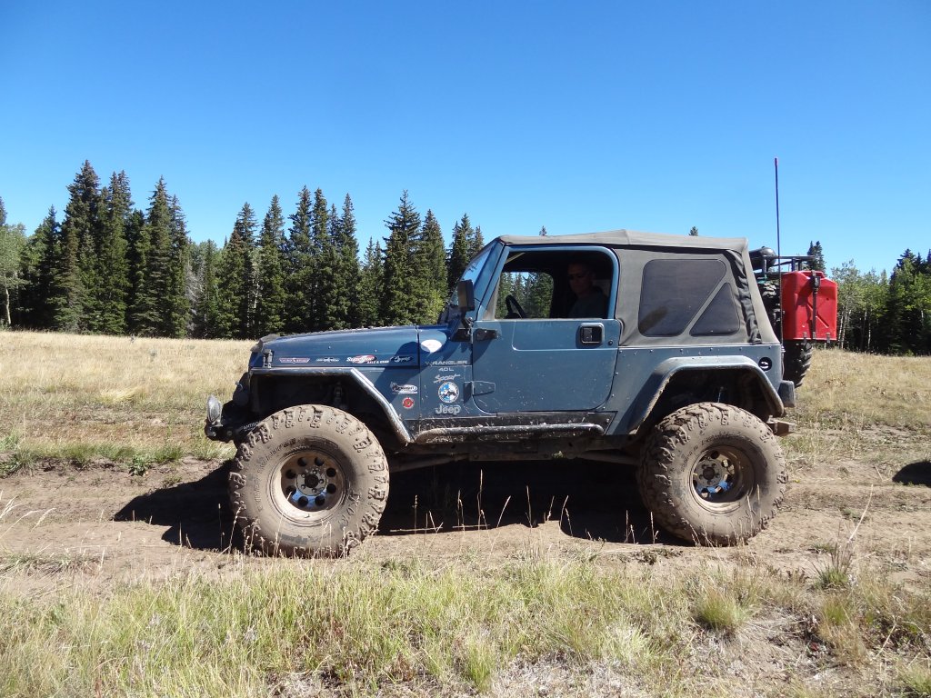
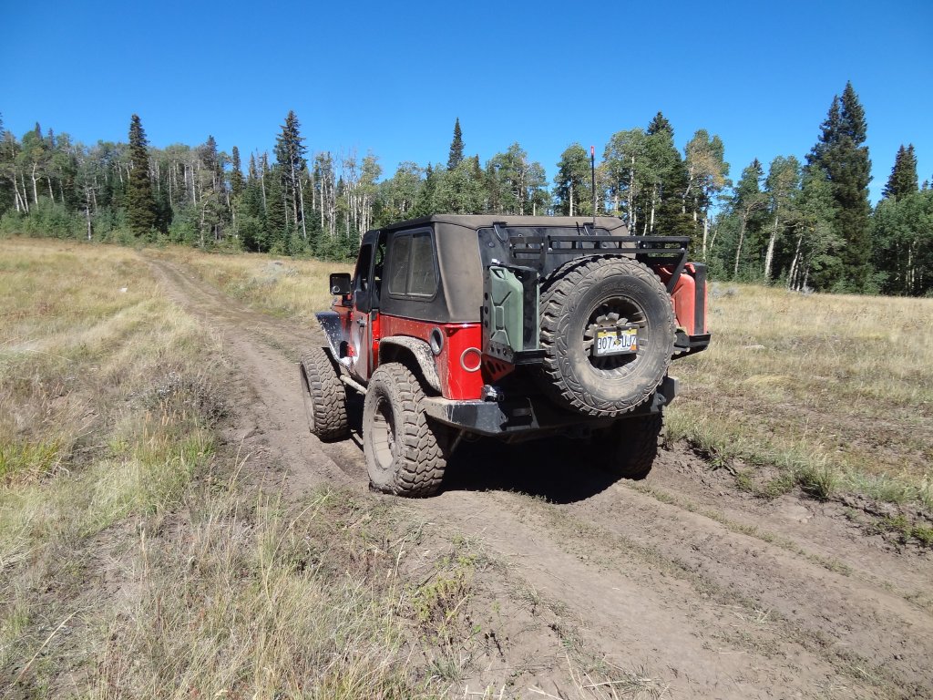
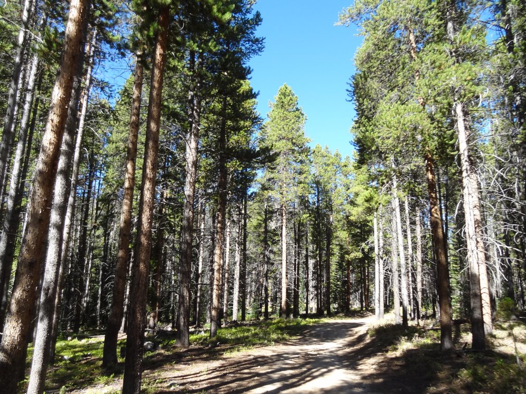
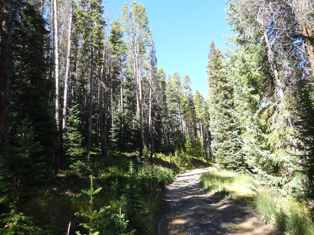
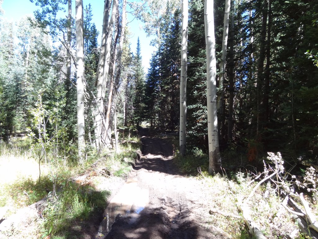
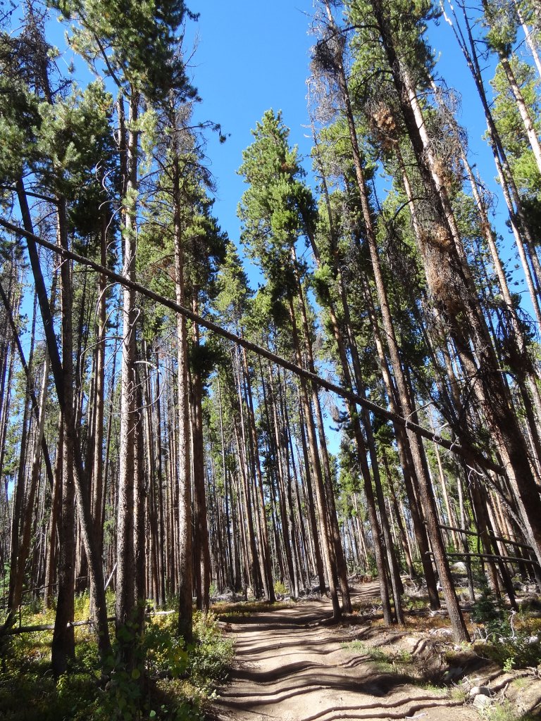
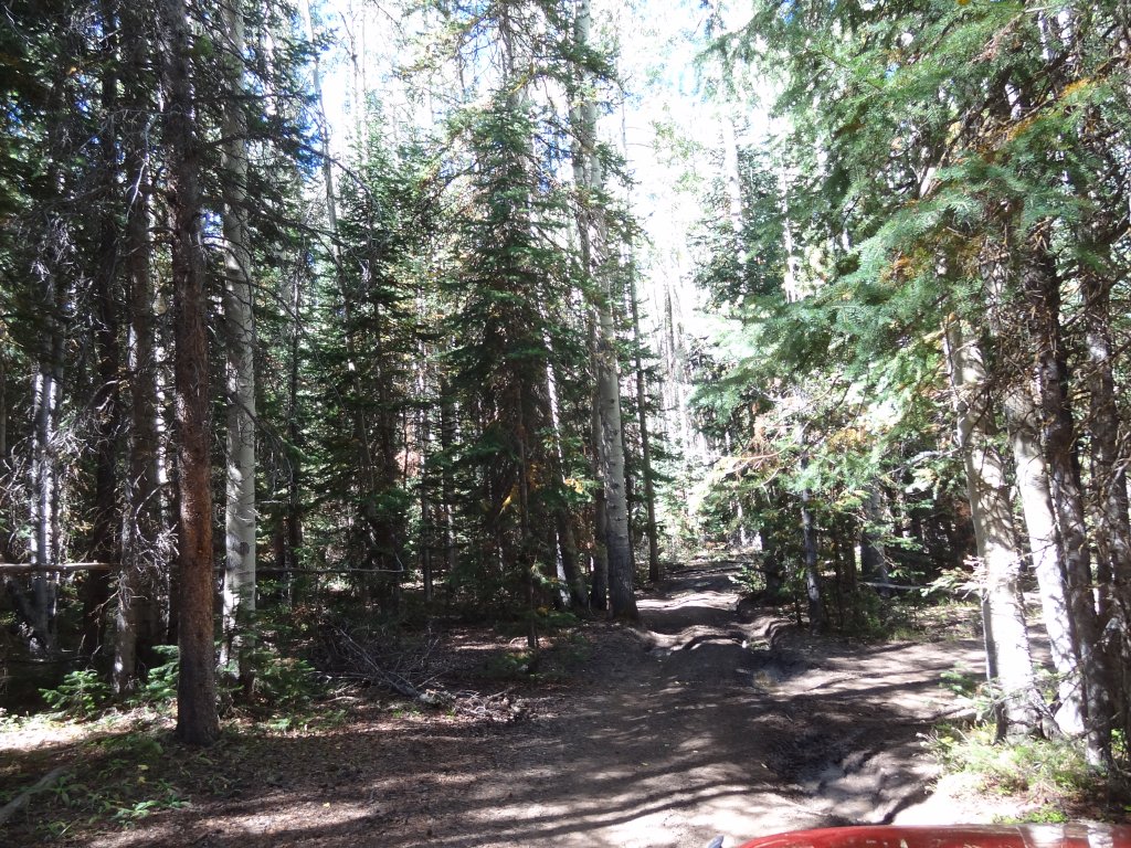
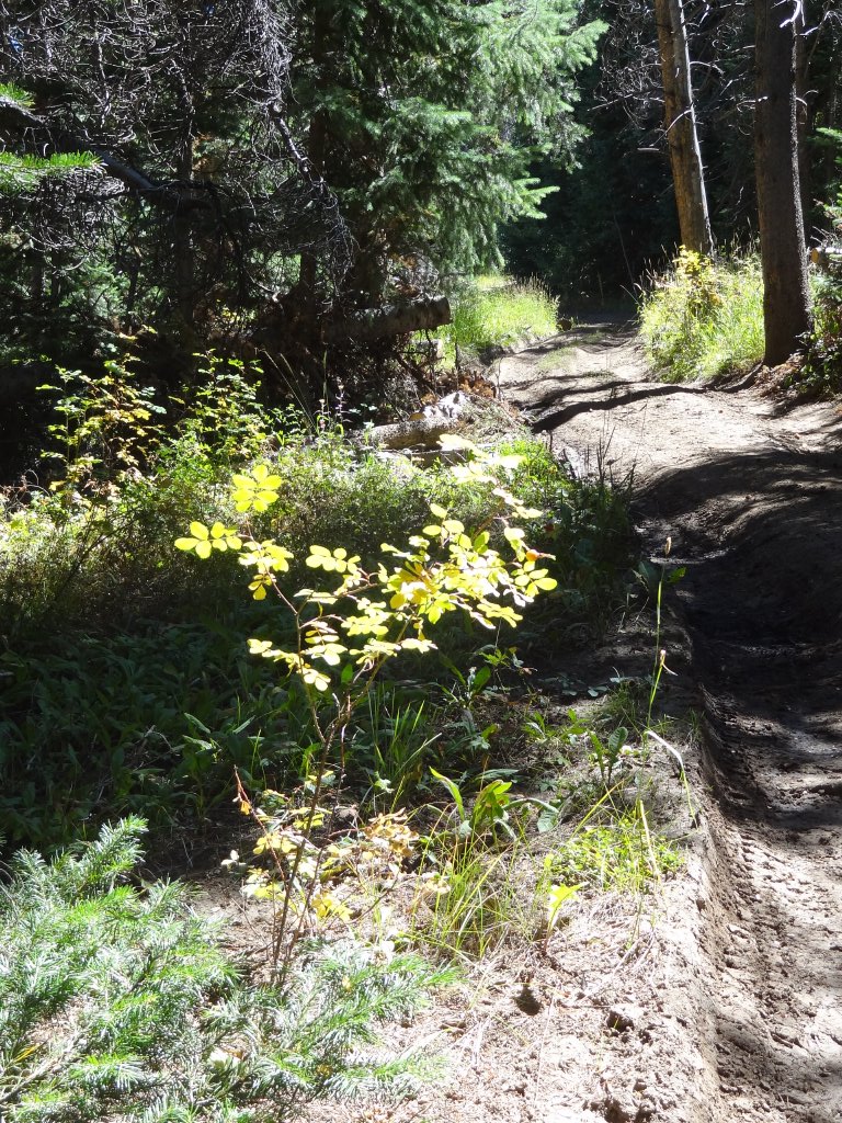
After the meadow, we went around the base of Porphyry Mountain and the trail got interesting. It was narrow, and it wove its way around and between trees. There were pools of water everywhere that made slick, sloppy mud. It made the trip messy and fun.
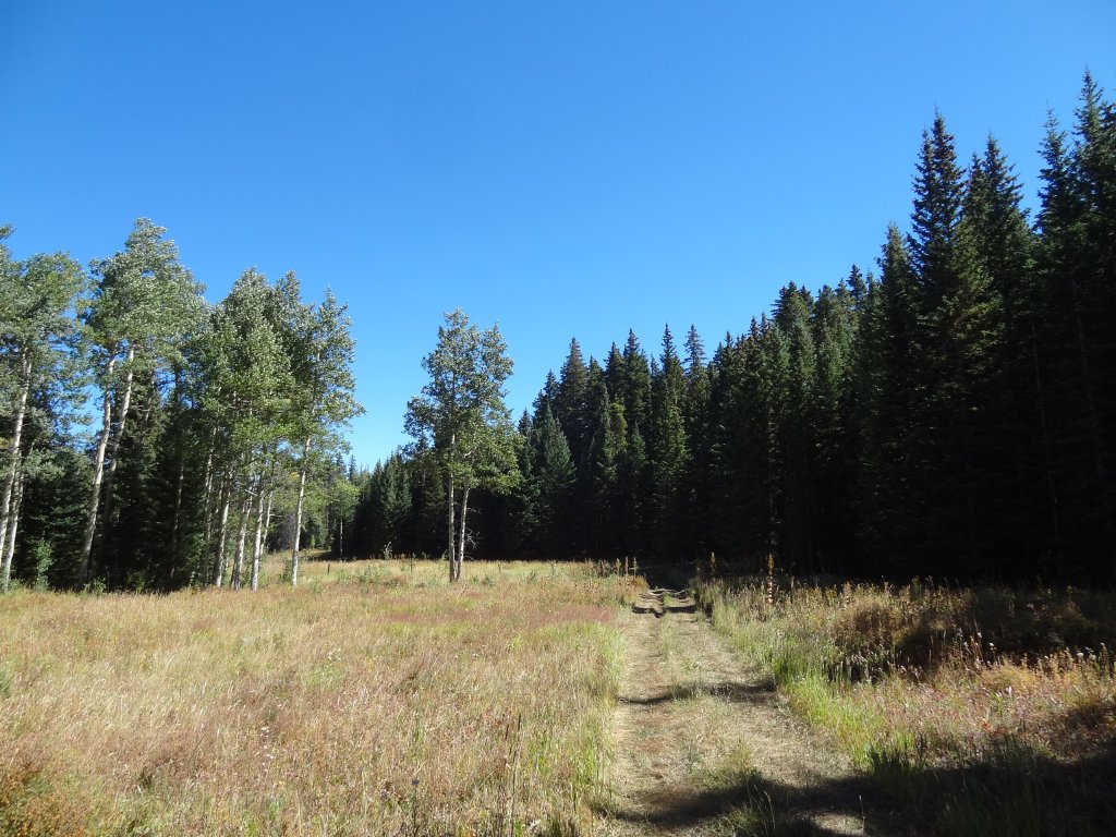
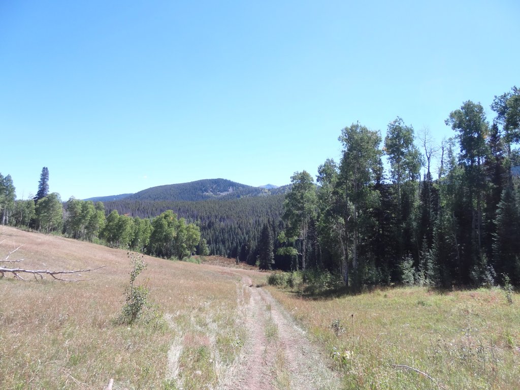
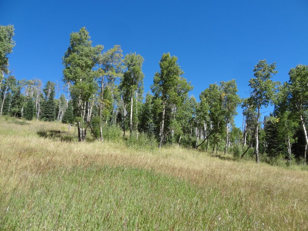
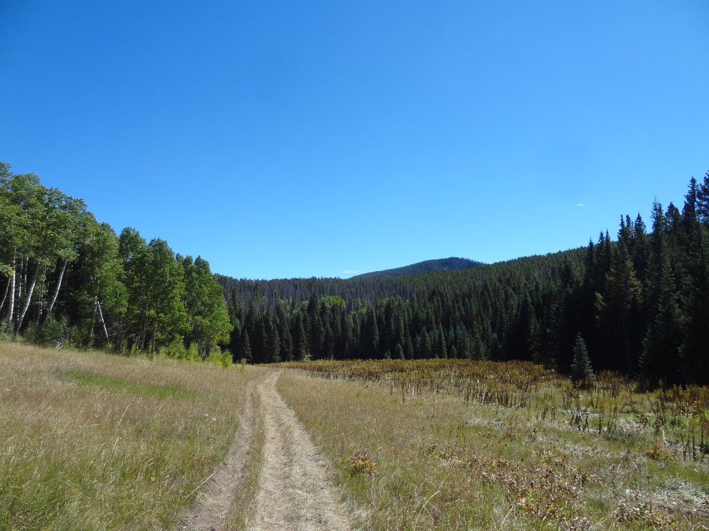
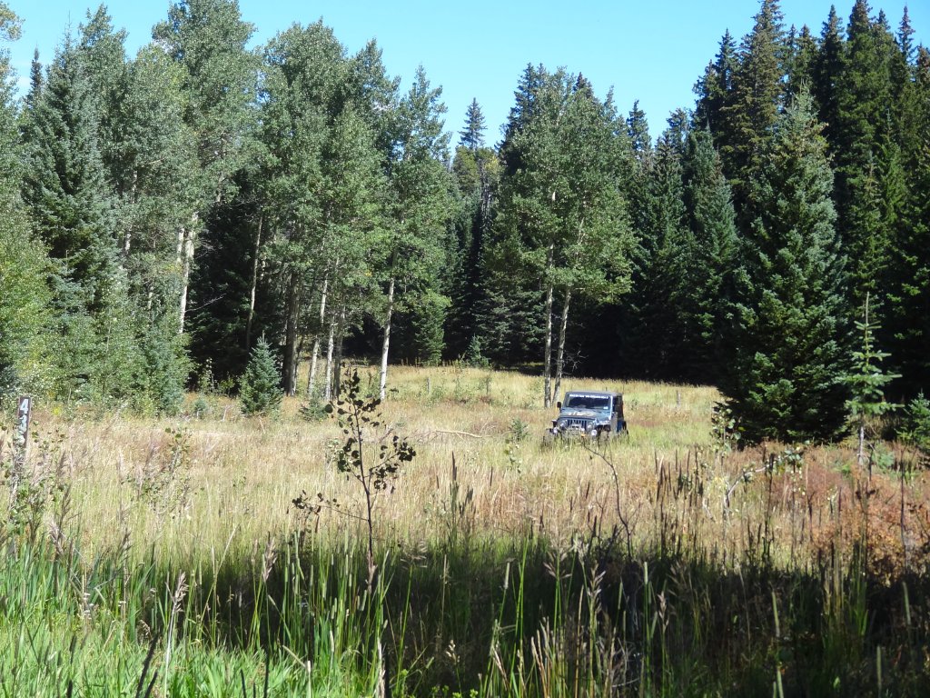
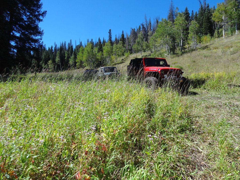
There were a couple spots with big holes filled with mud and muddy water, and we had a good time going through those. We thought we'd never come out of the trees, and then we found ourselves in a big meadow. We stopped there for a while, just enjoying the sunshine and solitude. There was no one else out there.
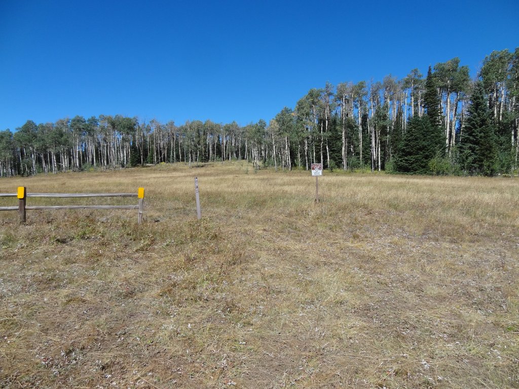
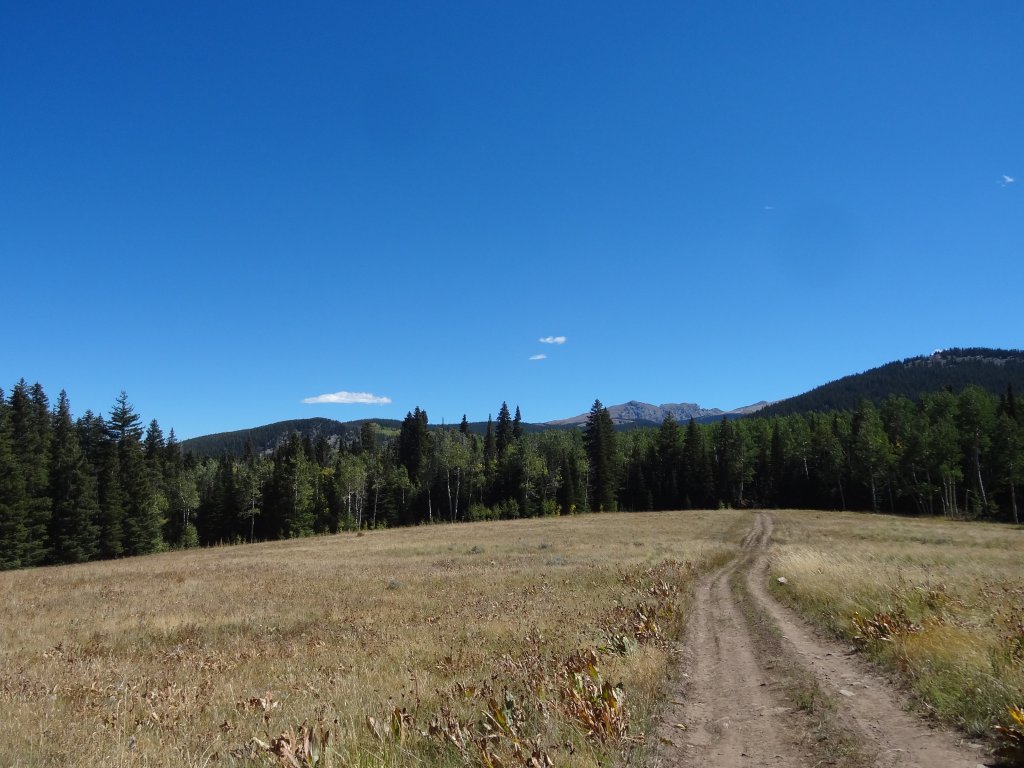
We went through a long trench of mud, with deep tracks from previous vehicles. Then we thought we were coming up to an intersection but we found the area fenced off. The trail continued, but only along the main road. The closed trail once connected back with the Brush Creek Road, but no more. Now, it was a very pretty, open meadow.
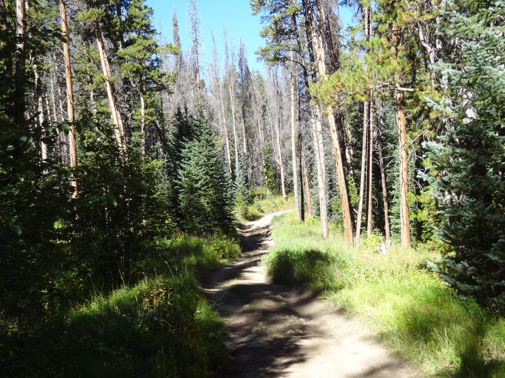
We kept going, and the trail went back into the trees. More mud was found, and we still were having fun sliding around. The trail popped in and out of stands of trees, and then we came to a weird spot.
The tall grasses were flattened in a wide turnaround, complete with a section in the middle where the grasses still stood tall. We got out to check things out. It looked like some ATVs had continued down past this turnaround, but Matt walked it a little way and found it soon ended. That was it, then, the end of the trail.
We had lunch there, and it was odd. Why did the trail go there? Why did it end? Why was the grass flattened so much? It was weird, and we decided it was aliens. It made for some fun lunch conversation, and lunch in the sunshine in the middle of nowhere was really good.
We knew we had to go out the way we came in, and even though it's a long and slow trip we still enjoyed it. However, it looked like we weren't getting out to I-70 using trails in the area. We decided to take a different route out and talk about the rest of the day as we went.