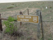
Picture Canyon
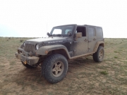
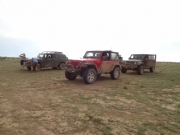
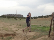
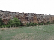
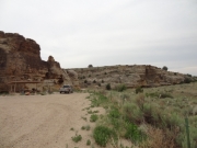
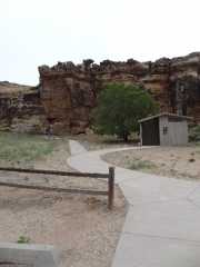
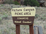
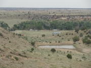
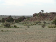
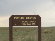
Picture Canyon was the last trail we had planned for our trip to Comanche National Grassland. We had just come off of Sand Canyon so we had seen a lot of the area, but we wanted to check out the picnic area. The road there was easy and mellow, and it wasn't long before we were all parked in a lot next to the pit toilet. Only one other person was there, and we wandered around for a bit.
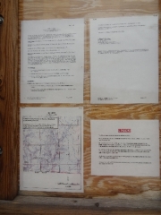
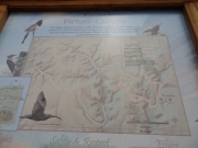
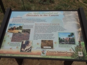
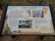
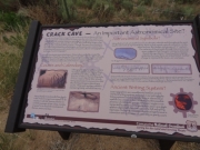
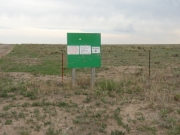
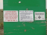
The interpretive signs were handy. We had researched the area before our trip, and Crack Cave sounded very intriguing. Springfield holds two annual festivals when the cave is opened to the public. The sun shines in the cave for only a few minutes at the spring and autumn equinoxes, and it must be an awesome sight. A road trip may be in our future so we can come see it.
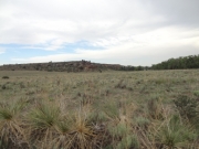
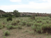
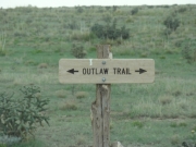
There were nice picnic tables there, and the hiking trails (Arch, Outlaw and Homestead) looked long but interesting. Our light was fading so we didn't spend time on the trails. Instead, we headed north to do the Picture Canyon trail that cuts the area from north to south.
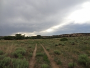
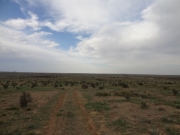
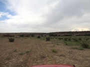
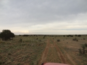
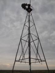
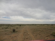
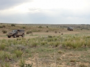
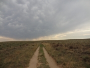
The windmill at the north end was a good marker. We went around it and then drove through what felt like the middle of nowhere. We soon intersected with the Sand Canyon trail at a place we'd been before. Then we left that trail to keep heading south.
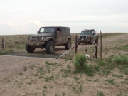
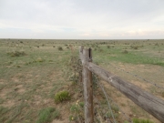
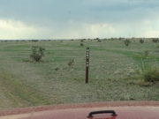
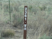
We had used the Motor Vehicle Use Map for the area, and it only covered Colorado. We had assumed that the trail would end at the state line. But when we got there we found a gate and the trail continued on into Oklahoma. We only had to discuss it for a minute before the group decided to push on.
Things got weird in Oklahoma. We had two GPS units and two in-dash navigation units but only one of the four showed the trail we were on. It was a single line in an area with little topographic detail, and it had no numbering or other information about it. We kept going and found a place where the trail cut close to the canyon rim so we stopped to assess the situation.
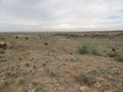
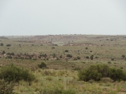
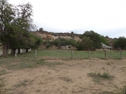
The canyon below us held a ranch and little else. We could see a road below us but we weren't sure we could get to it. The GPS track showed the trail going down into the canyon and crossing a creek at least twice. What were we in for? We talked about turning back, but we're all too curious for something like that. We decided to keep going.
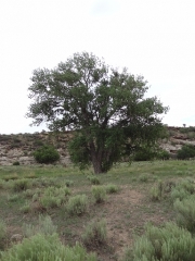
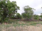
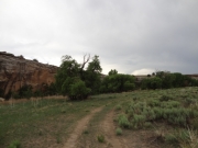
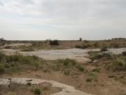
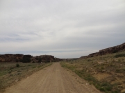
The canyon we were expecting was small, and the descent was just a little slope. It was lush at the bottom, with big cottonwood trees. The creek we saw on the GPS, however, was dried up. We were worried about mud and messes in the middle of nowhere, but we only found a dry trail.
Working our way through the canyon was nice, and it looked like the dry creek crossings could have been challenging when they were wet. It all ended fairly soon when we came out of a section of trees to find the ranch in front of us. We took the trail up to a gate and found it overgrown and padlocked.
It didn't look like anyone was home, and it looked like people didn't live there year round. We backtracked a little and found that the trail went around the property instead of through it. We followed the fence out to the main road and suddenly the trail was over and we'd made it all the way through to Oklahoma. Cool!
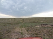
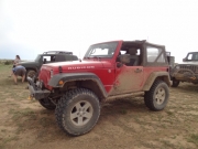
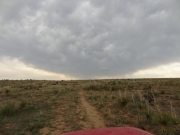
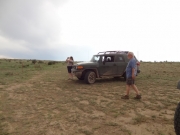
We'd been seeing afternoon storms so we stopped to put tops up and doors on. We drove around some menacing bulls and big cows in the road and headed back to Colorado. Ahead of us, it looked like a huge rain storm but it ended up being a small storm with lots of dust in the air. It was a nice drive and it was nice not to get poured on and have to deal with slick roads.
The drive was nice, and when we got back to our farm road that headed out we made a quick decision. Monica had put the La Junta KOA in her navigation, and it told us to go up highway 109 to get back to town. The others thought we were headed for Springfield for dinner, so there was some confusion. That meant we were on 190, and about halfway there Monica was about to run out of gas. There wasn't any gas in the town of Kim, the only town in the area.
We stopped on the side of the road to put gas from Monica's jerry can into her tank. Then we got back on the pavement and made it to La Junta when her gas light came back on. Everyone else made it back without extra gas so it was a new problem to solve. It's always something.
We ate in La Junta at the Village Inn and got plenty of rest before meeting in the morning for breakfast. It made for a much nicer and more relaxed trip home. We didn't even air down for the entire trip, but it was still such a good time. We'll be back so we can finish what we didn't get to. Who knew the Comanche National Grassland had so much in store?


