TrailDamage.com

Photos, videos and information about 4x4 trails in Colorado and Utah

  • Trails
    • Colorado
    • Utah
  • Reports
    • Featured Photos
    • Featured Videos
    • Reports Calendar
  • Members
  • Search
  • Trail Damage Winners
  • FAQ
  • Community
  • Upcoming Events
  • Membership
  • Log In
  • Facebook
  • Instagram
  • RSS
  • Twitter
  • YouTube

Pickle Gulch 150801

August 1, 2015 by Monica

Pickle Gulch

Trail Run on August 1, 2015
Report and photos by Monica I., Trail Leader
View trail information for Pickle Gulch

Holly P.
Gray 2013 Jeep Wrangler Unlimited Rubicon
Matt K.
White 2016 Jeep Wrangler Unlimited Rubicon
Monica I.
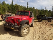
Red 2010 Jeep Wrangler Rubicon

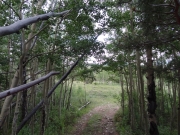
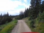
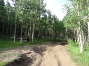
It's a little crazy that we don't do Pickle Gulch very often. It's a fun trail in a pretty area close to town. It's possible that we usually choose Jenny Creek when we're there, and Pickle Gulch might get a bit more attention now that Jenny Creek isn't as interesting as it once was. We had a good time on both trails, though.

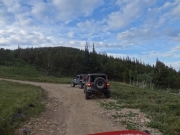
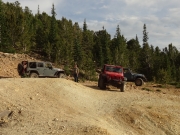
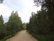
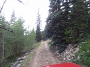
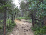
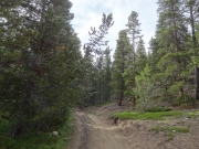
The sun was setting as we made our way onto the trail. It was fun to start up rocky hills right after getting started. We all picked our lines through the rocks, and we all had a great time.

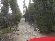
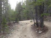
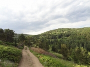
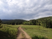
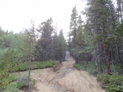
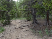
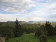
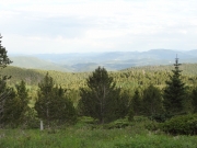
The rockiness continued as we climbed, keeping things fun. Still, all good things must come to an end and we found ourselves at the top of the ridge. The long shadows were making the scenery look pretty cool.

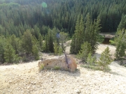
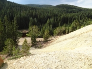
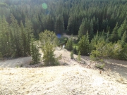
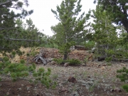
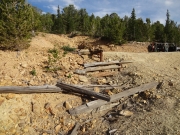
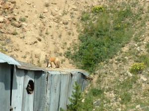
We stopped at the Snowden Mine, of course. We didn't explore too much, but we did get out at the top to consider our paths. Monica and Matt went down the middle hill, and Holly elected to skip it. It's a fun hill, and we didn't tackle the steepest one or try to go up them. We also didn't take the spurs there, so we headed back to the main trail.

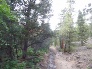
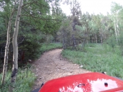
The trail after the mine is fairly mellow, but we enjoyed it. When we got to the spur to Michigan Hill we decided to go see what we'd find. It was definitely more narrow and tight in spots, but it was rocky fun. We went up and over the hill and started heading down, and when we got to a slightly open area we saw it was getting tighter and even less used, so we turned around. Just then, a truck on its own came through and continued along. Maybe next time for us.

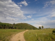
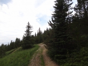
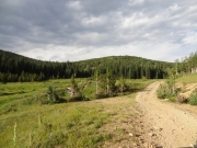
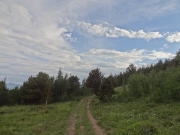
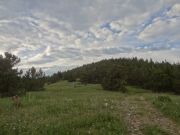
We headed back out to the main trail and soon found the end at Apex Road. We aired up there, and actually made it out to pavement before the sun was down. It was a long day, but a really good one!

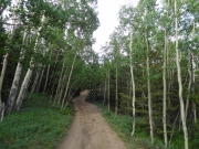
aspens
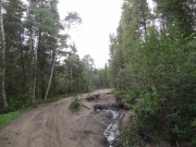
between_trees
campground_sign
canopy
chunky
climbing
clouds
ditches
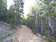
eroded
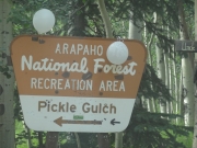
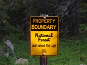
forest_boundary_sign
fun_climb
greens
hill_down_to_water
hills_part_1
hills_part_2
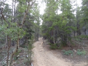
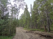
into_the_trees
little-used_spur
long_shadows
marshy
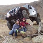
matt_and_holly
meadow
michigan_hill_mine
muddy
near_the_end
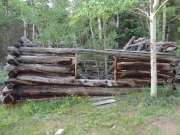
old_building
old_cabin_part_1
old_cabin_part_2
old_cabin_part_3
on_the_hills_part_1
on_the_hills_part_2
open
previously_muddy
rock_and_roll
roots
secluded
see_for_miles
snowden_mine
start_of_the_trail
sun_setting
tilted
tippy
to_michigan_hill
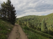
trail_with_a_view
trailhead_signs
trench
two_track
wavy

Reports from Other Days: 3

Use the arrows or dots to flip through the previews of the other reports for Pickle Gulch. Click one of them to read more and see all of the photos from that day.

August 19, 2003

Led by Monica I.
We ran this trail on a Tuesday and pretty much had the trail to ourselves. We planned very well with multiple coordinates mapped in the GPS but we still got lost. Still, it’s fun being lost on Pickle Gulch. It started out just fine until we got to the mine…
«
  • 1
  • 2
  • 3
Join Us!
If you aren’t a Member or Subscriber, you can’t see all of the content on this site. Get membership information to see why this site is best when you join and log in

Information for Subscribers

When you log in you’ll see more information here:

  • Recent Community Forum posts
  • Recent polls
  • Upcoming Events you can attend
  • Links to online users

© 2000-2023 · TrailDamage.com · Terms and Conditions · About · Contact
Trail information is only accurate on the date posted. Trails may have changed or closed since that date. Use this information for historical purposes only.
Contact the Forest Service or Bureau of Land Management for up-to-date trail information.
/* ----------------------------------------- */ /* View slug: reports-other-reports-for-same-trail-slider - start */ /* ----------------------------------------- */ /* place the prev/next controls on the sides */ .td-transition-controls .wpv-filter-next-link, .td-transition-controls .wpv-filter-previous-link { border: none; font-size: 300%; position: absolute; top: 70px; } .td-transition-controls .wpv-filter-previous-link { left: 0; } .td-transition-controls .wpv-filter-next-link { right: 0; } /* center the page selector horizonatally */ .td-transition-controls ul.wpv_pagination_dots { text-align: center; margin-top: 10px; } /* center the page selector horizonatally */ .td-transition-controls ul.wpv_pagination_dots li.wpv_pagination_dots_item, .td-transition-controls .wpv_pagination_dots li a { display: inline-block; float: none; } /* remove the default styles */ .td-transition-controls .wpv_pagination_dots li a { text-decoration: none; border-bottom: none; } .td-slider-container { padding: 0 25px; margin-bottom: 20px; position: relative; width:100%; display:table; } .td-slides { position: relative; } .td-slides-image { float:left; display:table-cell; } .td-slides-image img { border:1px solid #c0c0c0; } .td-slides-content { padding:4px 4px 4px 10px; border-top:1px solid #c0c0c0; border-right:1px solid #c0c0c0; border-bottom:1px solid #c0c0c0; display:table-cell; height:227px; overflow:hidden; } .td-slides-content h3 { margin-top:8px; } .td-slides-leader { font-size:smaller; margin-top:4px; } /* ----------------------------------------- */ /* View slug: reports-other-reports-for-same-trail-slider - end */ /* ----------------------------------------- */
/* ----------------------------------------- */ /* Content Template: Template for a Single Report - start */ /* ----------------------------------------- */ .entry-header { display:none; } .entry-content h1 { margin-top:16px; padding-top:0; } h1 a { color:#222; } h1 a:hover { color:#666; } p.entry-meta { font-size:small; } #report-body-spacer { clear:both; width:100%; height:20px; } #addtoany-bar { margin-bottom:2em; text-align:center; } .category-reports .post-info .author, .post-info .date { display: none; } .addthis_recommended_horizontal { text-align:center !important; } /* ----------------------------------------- */ /* Content Template: Template for a Single Report - end */ /* ----------------------------------------- */ /* ----------------------------------------- */ /* Content Template: Loop item in REPORTS Runners - start */ /* ----------------------------------------- */ #runners-container { width:100%; clear:both; } .runner { border:1px solid #c0c0c0; margin:0 6px 6px 0; float:left; width:49%; height:81px; } .runner-image { float: left; } .runner-image img { margin:2px 10px 0 2px; height:75px; width:75px; } .runner-name { text-transform:uppercase; } .runner-name a { color:#222; } .runner-name a:hover { color:#666; } .runner-vehicle { font-size:small; } @media only screen and (max-width: 768px) { .runner { width:100%; } } /* ----------------------------------------- */ /* Content Template: Loop item in REPORTS Runners - end */ /* ----------------------------------------- */