Picketwire Canyon


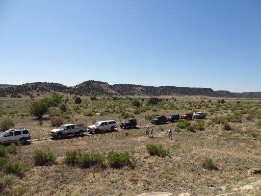
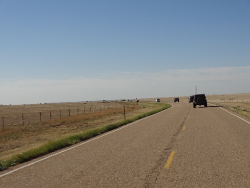
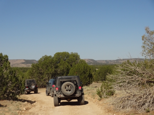
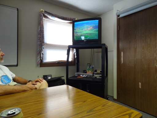
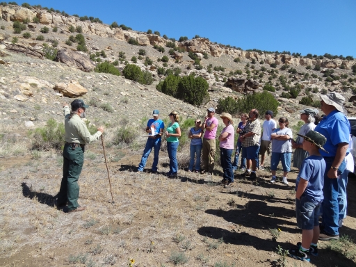
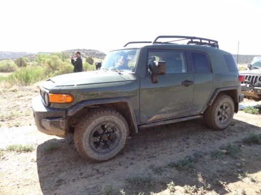
We came to La Junta to see Picketwire Canyon -- the other trails were secondary. We were really looking forward to the trip, and we met at the Forest Service office along with many other people who would be on our tour. The weather looked good, but it had rained hard the day before so it could go either way in the afternoon. We watched a short and very old VHS presentation in the conference room and the tour guide told us what to expect and when. We fell in line at the back of the group so we could get pictures, and soon we were off down the highway in a long line of trucks and SUVs.
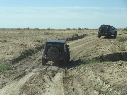
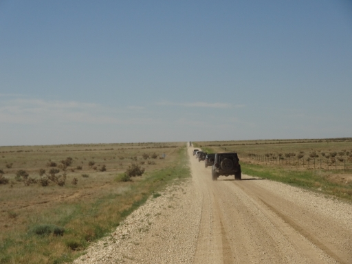
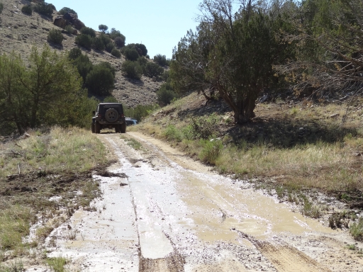
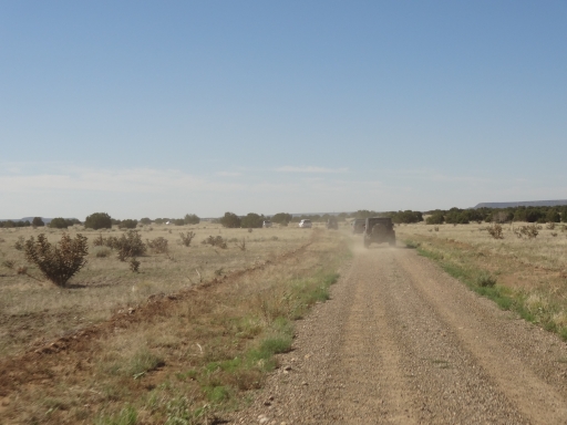
We got up to 55mph on the dirt roads as we headed to the trail. It seemed too fast for open grazing areas but we had to keep up. There was a bit of mud on the road in a dip, but otherwise the roads were dry. It would have been a lot dustier without the previous day's rain.
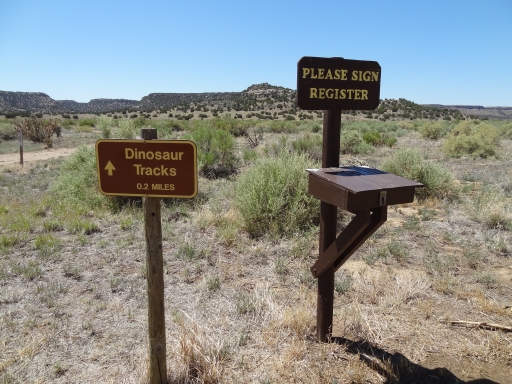
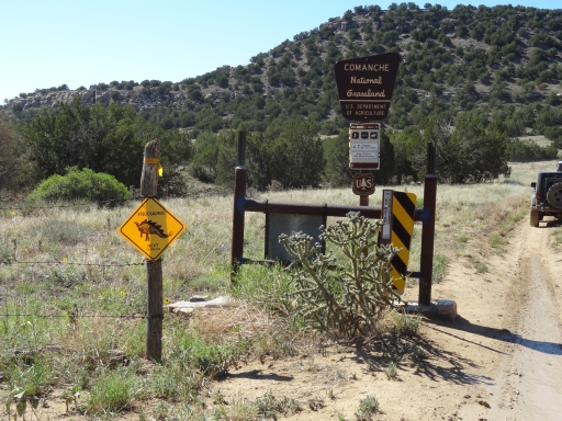
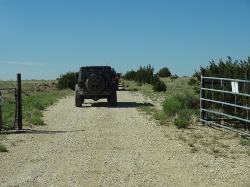
We got to the signs marking the way to Picketwire Canyon but the guide had told us that was the way in via Minnie Canyon, a way we couldn't go. Instead, we were going to take Iron Canyon in. We got to a padlocked gate and headed into the Pinon Canyon Maneuver Site. No one got shot.
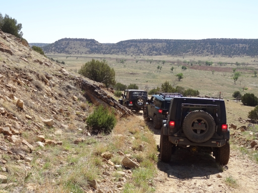
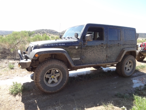
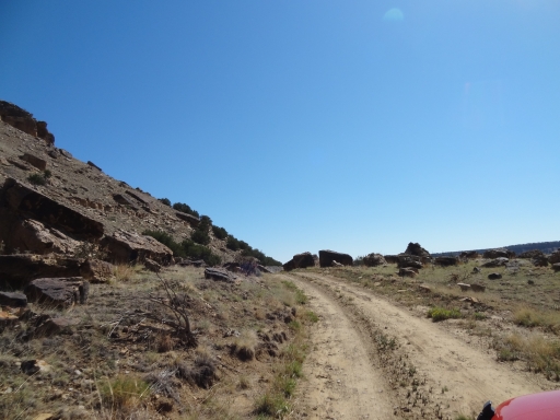
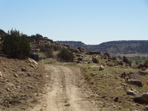
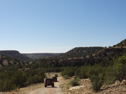
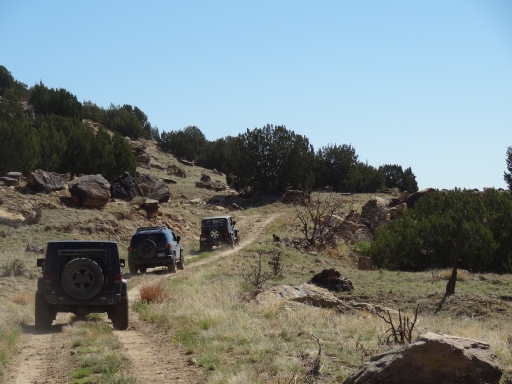
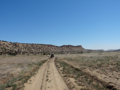
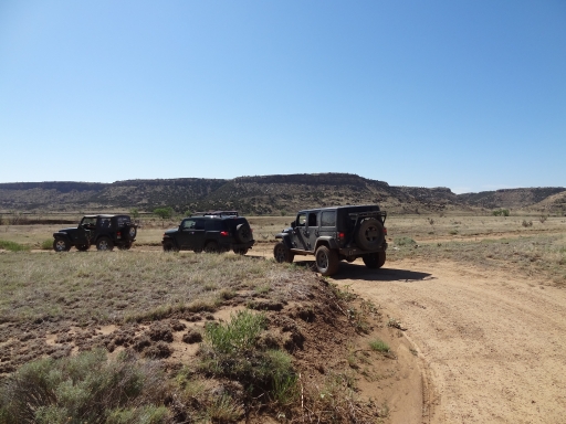
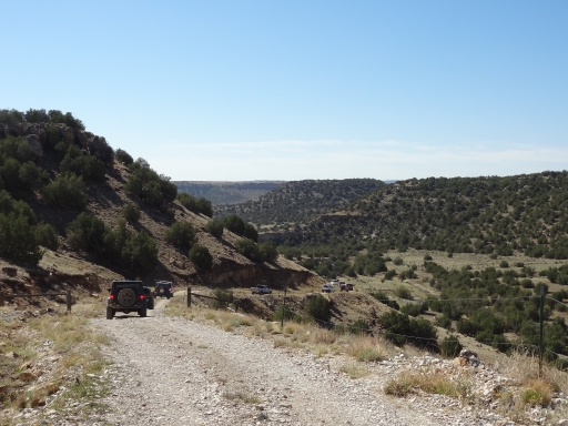
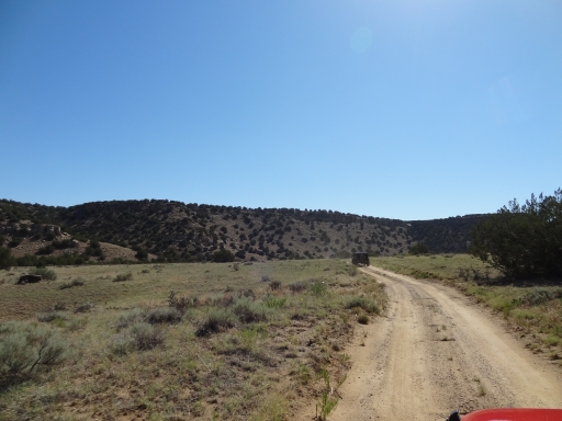
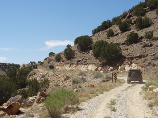
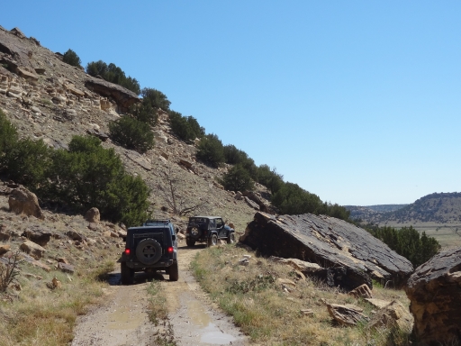
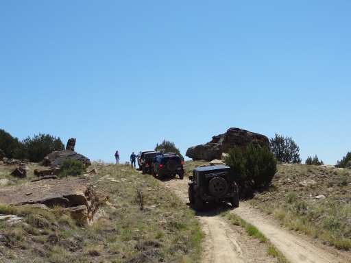
Heading into the canyon, the trail turned from an easy dirt road into an actual trail. It wasn't hard, but we guessed some of the drivers in shiny trucks were more used to pulling campers. It would be a blast for someone new to taking their vehicle off of the pavement.
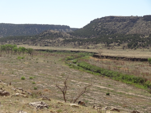
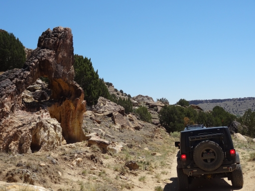
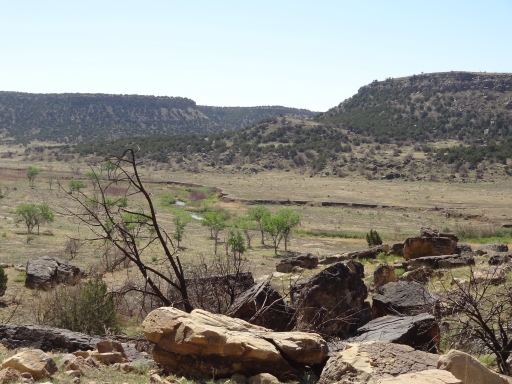
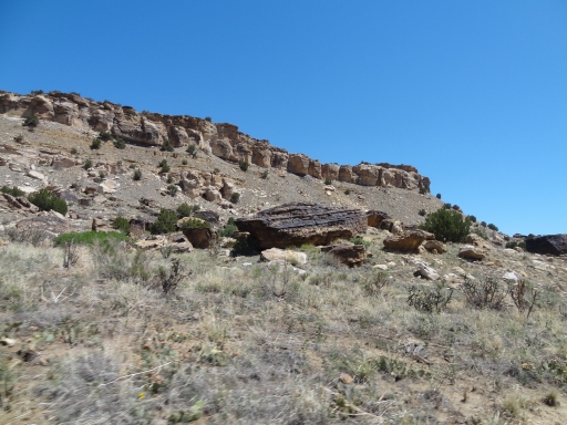
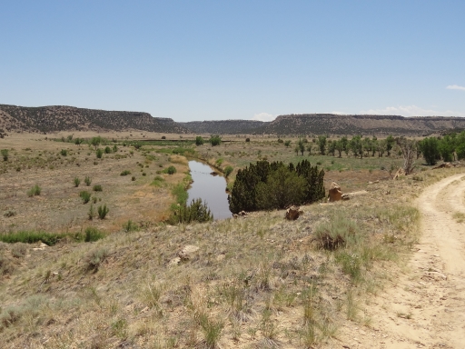
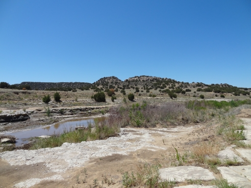
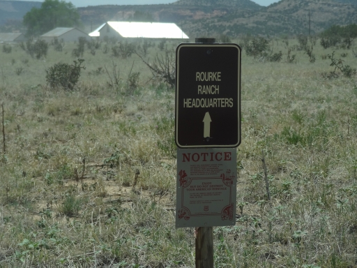
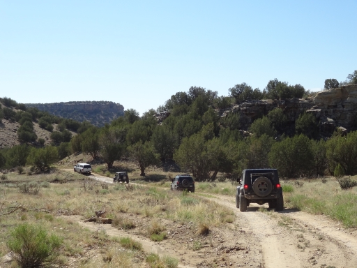
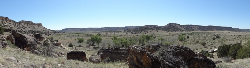
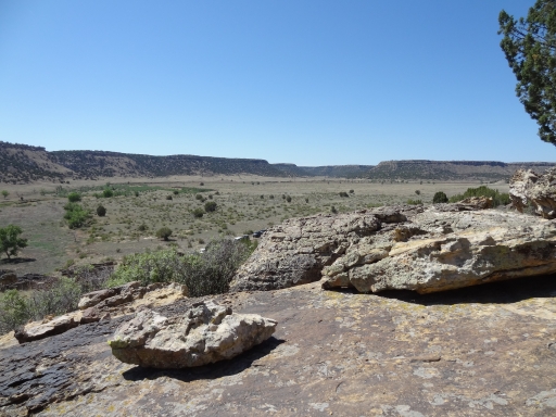
We went past the turnoff to the Rourke Ranch and headed into the canyon. It was really pretty. We couldn't believe that it was in southeastern Colorado. Crazy! It was a bummer that we couldn't do the trail on our own, though, because the tour traveled really quickly.
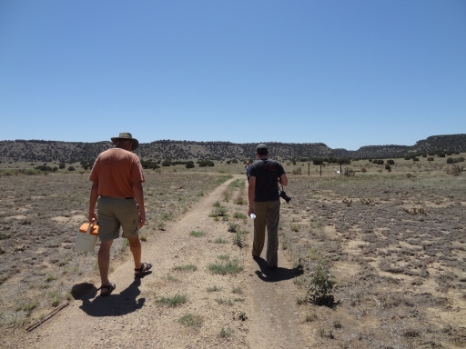
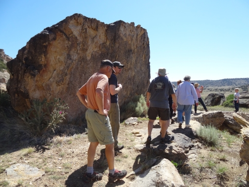
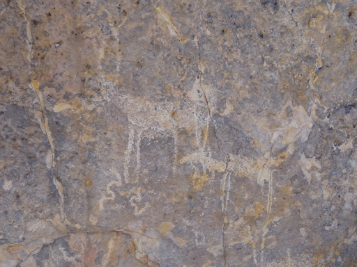
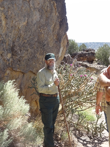
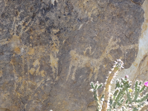
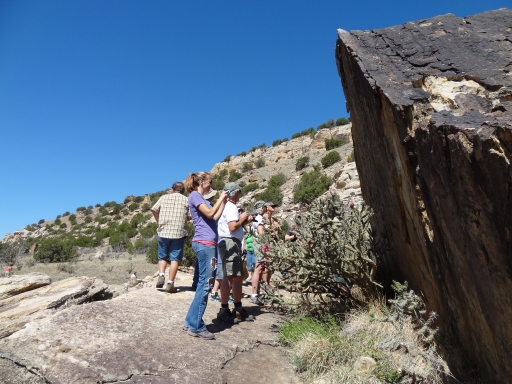
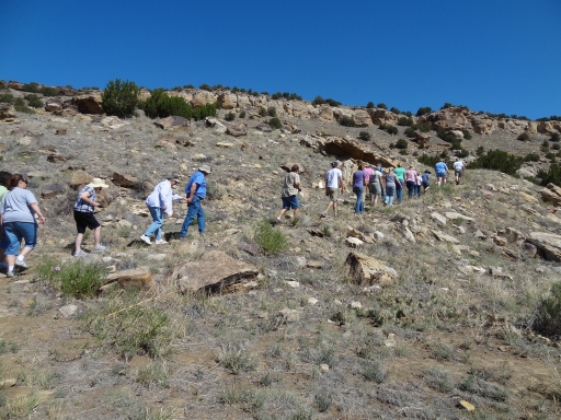
We parked in the middle of the trail to hike up to the petroglyphs. It was a short hike but it was already getting really hot outside. The tour was long and we hung out for a long time.
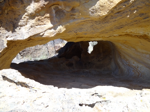
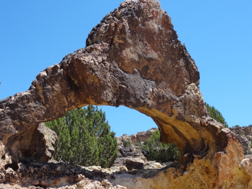
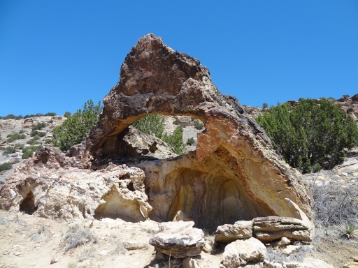
When we finally got rolling again we barely got moving before we were stopped again. It turned out that the group was near the arch and half of them had stopped. The arch is at the top of a hill with a descent on the other side so only a couple of us went up to see it. The rest of us hung out in whatever shade we could find. The day was a "hurry up and wait" day with bursts of speed on the trail followed by hanging out for a long time.
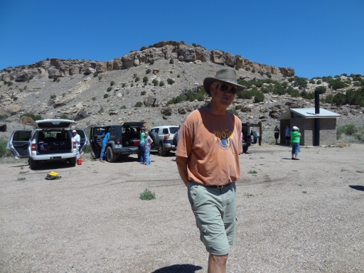
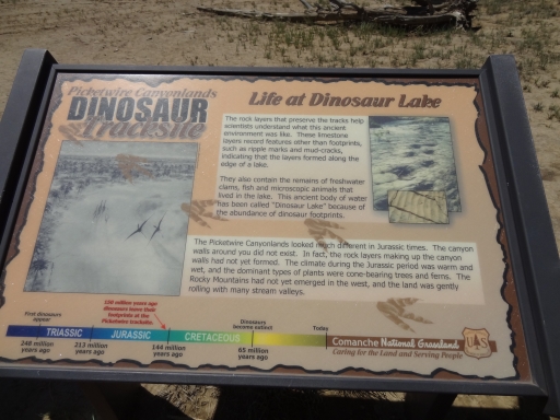
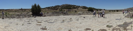
A little bit farther down the trail and we were parking at a wide parking area next to a pit toilet. This was the dinosaur footprints hike. Bob took his lunch with him but the rest of us planned on eating when we got back. We walked down the old 4x4 trail to regroup with the guide on the first set of tracks.
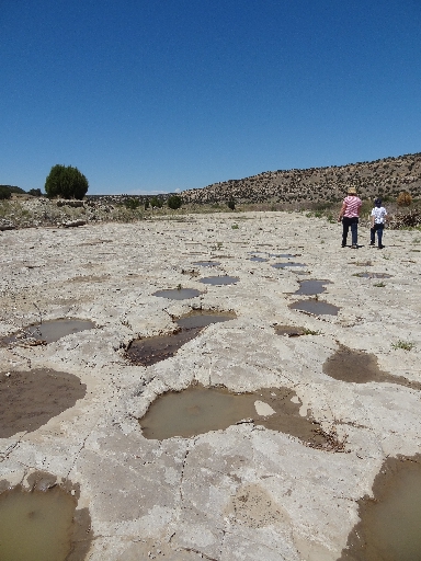
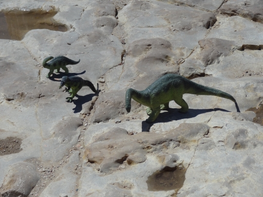
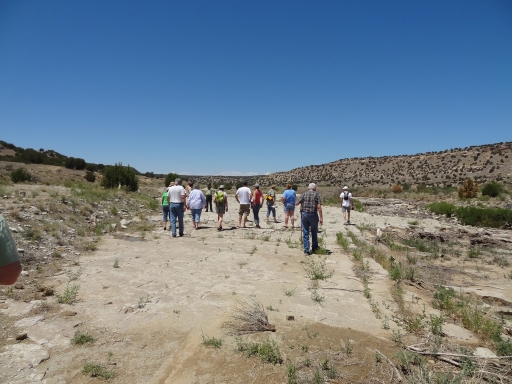
It had rained the day before so the tracks all had water in them. It made them easy to see and photograph, which was nice. The guide put out some plastic dinosaurs and we had a good laugh. We didn't reapply sunscreen and almost everyone got pretty sunburned while we were out there.
The wading walk across the river was so nice. The water was cool but not cold. It was muddy on both banks but we didn't get too messy. We felt like standing in the middle of the water just a bit longer, but the best footprints are on the other side of the water.
The tracks and paths were very long and pronounced. Some of the tracks were big and others were pretty small. We hung out and the guide would talk for a bit at times. But we eventually felt we'd seen everything so we skipped his last talk and headed back. We took advantage of the only shade and huddled under a tree while we ate. There's nothing better than shade on a hot and sunny day.
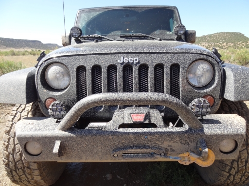
We were packing up lunch when the guide told us the bad news. The rain from the day before had made the trail past the parking area too messy to negotiate. He said that our vehicles would probably do well but the others wouldn't, so we had to turn back. It was a bummer. We'll just have to do the trail another time.
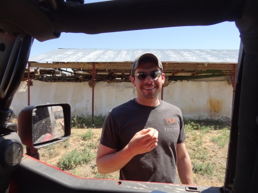
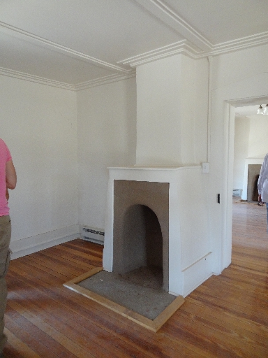
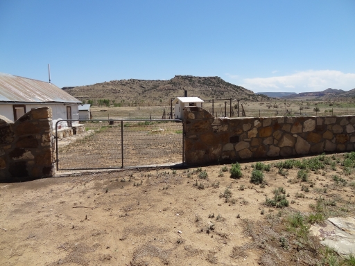
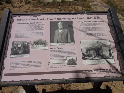
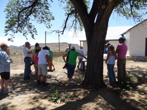
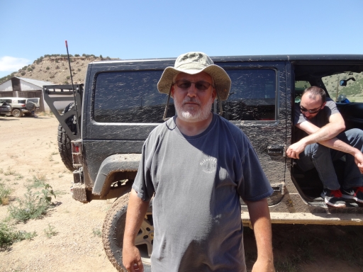
On the way back we stopped at the Rourke Ranch. The guide spoke for just under 30 minutes while we stood in the shade of a big tree. Then we went in to see the ranch and others explored other buildings. We waited for a while in our vehicles trying to get some shade.
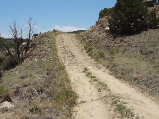
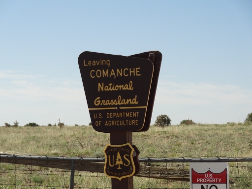
We eventually headed out and back up Iron Canyon. The climb was fun. When we reached the padlocked gate again the guide wished us well and we were on our own. He had mentioned Withers Canyon so we were off to find it in order to see the rest of Picketwire Canyon from above. It was a good time.