TrailDamage.com

Photos, videos and information about 4x4 trails in Colorado and Utah

  • Trails
    • Colorado
    • Utah
  • Reports
    • Featured Photos
    • Featured Videos
    • Reports Calendar
  • Members
  • Search
  • Trail Damage Winners
  • FAQ
  • Community
  • Upcoming Events
  • Membership
  • Log In
  • Facebook
  • Instagram
  • RSS
  • Twitter
  • YouTube

Old Fulford Trail 160909

September 9, 2016 by Monica

Old Fulford Trail

Trail Run on September 9, 2016
Report and photos by Monica I., Trail Leader
View trail information for Old Fulford Trail

Monica I.
Red 2010 Jeep Wrangler Rubicon
Walt S.
Gray 2022 Jeep Wrangler Unlimited Rubicon 392
Matt K.
White 2016 Jeep Wrangler Unlimited Rubicon

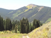
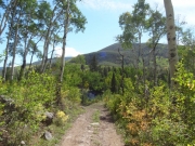
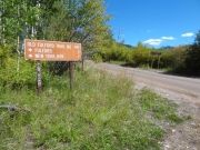
We came off of Porphyry Mountain and now we were muddy. That trail was a sloppy good time. We decided to take the Old Fulford Trail down to the main trail on Fulford Cave, so we turned on the first intersection with that trail. We should have gone to the town of Fulford, but we didn't. We'll need to do that next time.

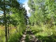
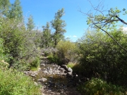
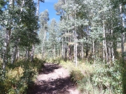
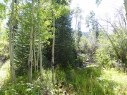
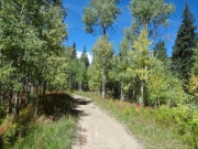
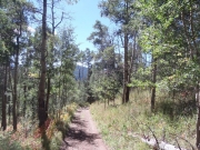
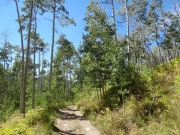
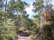
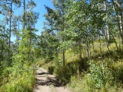
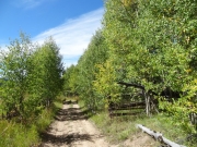
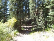
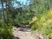
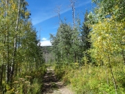
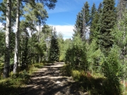
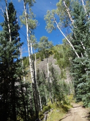
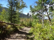
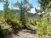
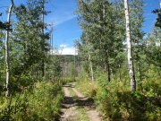
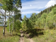
The trail was fun right away. It was narrow and rocky as it worked its way down through the trees. We were lucky that we didn't need to pass anyone. We did see other vehicles coming up from the town of Fulford, but we missed them on our own spurs.

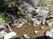
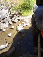
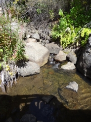
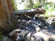
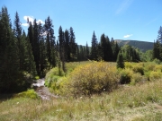
Triangle Reservoir is fed by Triangle Creek and a feeder coming from Graveyard Flats. We got to cross the creek and it was very scenic.

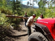
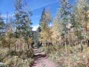
After that, we started heading downhill and the switchbacks started. After the last switchback, we came around the corner to find a dead tree horizontal to the road, not high enough to drive under. We got out to investigate.

It was caught between trees on both sides of the trail, so we were having trouble pushing it out of the way. The flexible aspens on the downhill side would give if we were able to break the dead tree, but we'd need to pull it downhill and away from us. Monica hooked up her winch line to a snatch block on a tree on the other side of the dead tree, and winched it away from the group. It snapped enough to move it, and the rest of the group lifted it up and over, out of the way. That was lucky!

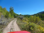
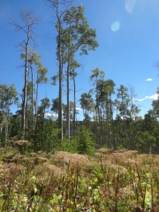
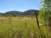
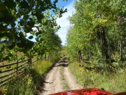
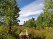
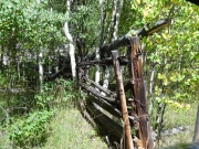
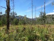
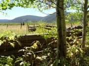
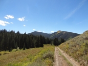
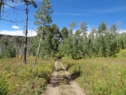
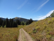
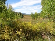
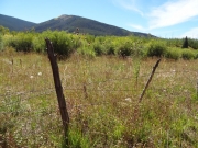
After that adventure, the trail followed an old fence line along a big meadow. It was very, very scenic and we enjoyed it. We passed old fencing and an old corral, and the sun lit up everything in a golden light.

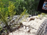
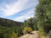
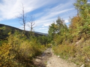
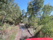
When we got past the meadow, the trail turned rocky for the last bit. There is a switchback that is so tight that you're practically back where you started. Then we crossed another stream and we were out.

That was a great trail! But our plans got a bit derailed when we couldn't take a trail out to I-70. So, we had to talk about what to do next. We needed to head up to Eagle to get gas, so we decided to go to town and talk about our options. The rest of the day ended up being really fun, too, even if it wasn't planned.

adam_mountain
aspens
blue_sky
brush_creek_crossing_part_1
brush_creek_crossing_part_2
brush_creek_crossing_part_3
brush_creek_crossing_part_4
bumpy
bushes
creek
deadfall_over_water
edge_of_the_trail
eve_and_adam
fallen_aspen_leaves
fence
flat
fulford_cave_trail_below
heading_downhill
history
little_bumps
loose
mountains
moving_the_dead_tree
narrow
old_corral
old_fence
puddle
rocky
scenic
shades_of_green
shadows
shelf_road
skinny_trees
soggy
tall_aspens
tilted
trail_block
trail_sign
trail_with_a_view
trailhead_sign
tree_gone
treetops
two-track
valley
watery_trail
wet_trail
wire_fence
wispy_clouds
Join Us!
If you aren’t a Member or Subscriber, you can’t see all of the content on this site. Get membership information to see why this site is best when you join and log in

Information for Subscribers

When you log in you’ll see more information here:

  • Recent Community Forum posts
  • Recent polls
  • Upcoming Events you can attend
  • Links to online users

© 2000-2023 · TrailDamage.com · Terms and Conditions · About · Contact
Trail information is only accurate on the date posted. Trails may have changed or closed since that date. Use this information for historical purposes only.
Contact the Forest Service or Bureau of Land Management for up-to-date trail information.

/* ----------------------------------------- */ /* View slug: reports-other-reports-for-same-trail-slider - start */ /* ----------------------------------------- */ /* place the prev/next controls on the sides */ .td-transition-controls .wpv-filter-next-link, .td-transition-controls .wpv-filter-previous-link { border: none; font-size: 300%; position: absolute; top: 70px; } .td-transition-controls .wpv-filter-previous-link { left: 0; } .td-transition-controls .wpv-filter-next-link { right: 0; } /* center the page selector horizonatally */ .td-transition-controls ul.wpv_pagination_dots { text-align: center; margin-top: 10px; } /* center the page selector horizonatally */ .td-transition-controls ul.wpv_pagination_dots li.wpv_pagination_dots_item, .td-transition-controls .wpv_pagination_dots li a { display: inline-block; float: none; } /* remove the default styles */ .td-transition-controls .wpv_pagination_dots li a { text-decoration: none; border-bottom: none; } .td-slider-container { padding: 0 25px; margin-bottom: 20px; position: relative; width:100%; display:table; } .td-slides { position: relative; } .td-slides-image { float:left; display:table-cell; } .td-slides-image img { border:1px solid #c0c0c0; } .td-slides-content { padding:4px 4px 4px 10px; border-top:1px solid #c0c0c0; border-right:1px solid #c0c0c0; border-bottom:1px solid #c0c0c0; display:table-cell; height:227px; overflow:hidden; } .td-slides-content h3 { margin-top:8px; } .td-slides-leader { font-size:smaller; margin-top:4px; } /* ----------------------------------------- */ /* View slug: reports-other-reports-for-same-trail-slider - end */ /* ----------------------------------------- */
/* ----------------------------------------- */ /* Content Template: Template for a Single Report - start */ /* ----------------------------------------- */ .entry-header { display:none; } .entry-content h1 { margin-top:16px; padding-top:0; } h1 a { color:#222; } h1 a:hover { color:#666; } p.entry-meta { font-size:small; } #report-body-spacer { clear:both; width:100%; height:20px; } #addtoany-bar { margin-bottom:2em; text-align:center; } .category-reports .post-info .author, .post-info .date { display: none; } .addthis_recommended_horizontal { text-align:center !important; } /* ----------------------------------------- */ /* Content Template: Template for a Single Report - end */ /* ----------------------------------------- */ /* ----------------------------------------- */ /* Content Template: Loop item in REPORTS Runners - start */ /* ----------------------------------------- */ #runners-container { width:100%; clear:both; } .runner { border:1px solid #c0c0c0; margin:0 6px 6px 0; float:left; width:49%; height:81px; } .runner-image { float: left; } .runner-image img { margin:2px 10px 0 2px; height:75px; width:75px; } .runner-name { text-transform:uppercase; } .runner-name a { color:#222; } .runner-name a:hover { color:#666; } .runner-vehicle { font-size:small; } @media only screen and (max-width: 768px) { .runner { width:100%; } } /* ----------------------------------------- */ /* Content Template: Loop item in REPORTS Runners - end */ /* ----------------------------------------- */