Minnie Gulch
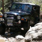
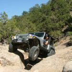


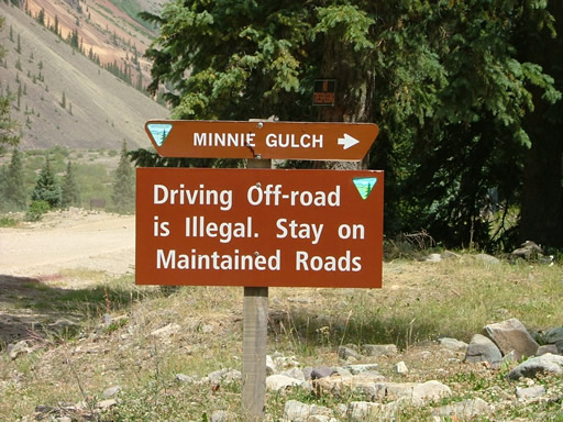
We ran Maggie Gulch, then hopped over to Minnie Gulch which is the gulch directly north. They're right next to each other, so we expected a gulch much like the first one. In some ways we were right, though the experience was quite a bit different.
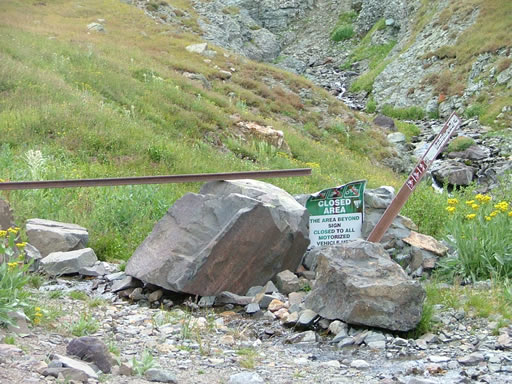
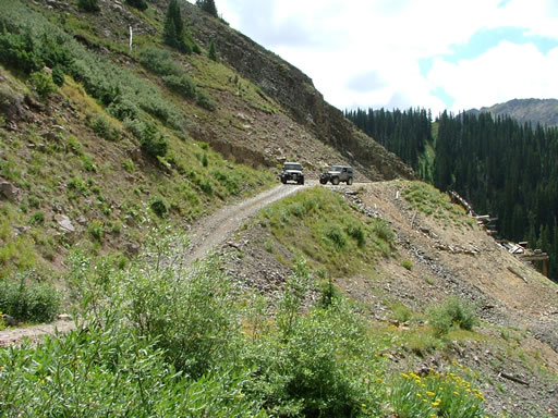
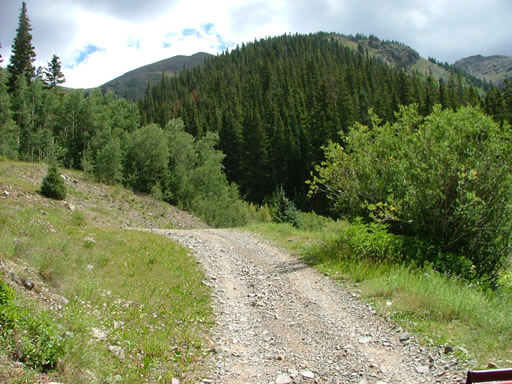
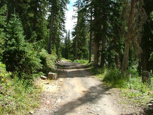
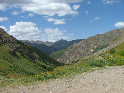
It started as a climb through the trees, just like Maggie Gulch. The talus field wasn't as big, but it was there. When we got to the spur, we turned left to go up to the mines. We were already seeing more mining buildings than we had seen on Maggie Gulch.
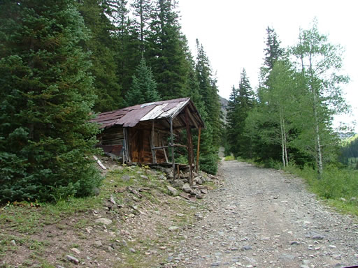
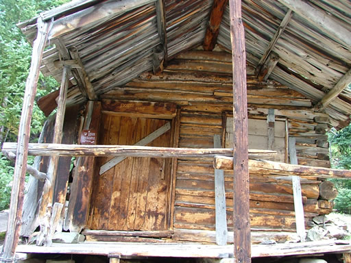
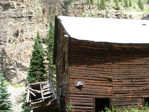
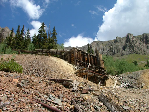
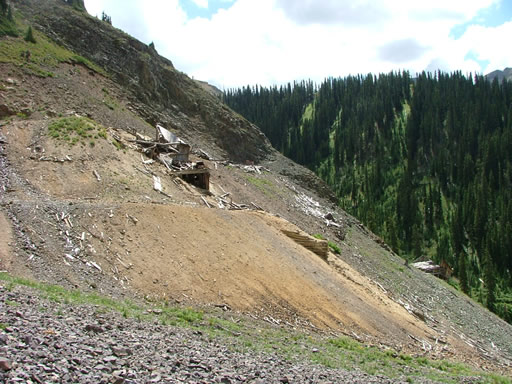
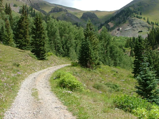
The Caledonia Mining operation had many buildings and foundations left standing. Most looked like they were on private property, so we didn't get out to explore any of them. We went through the switchbacks and commented that a large portion of the aspen trees looked like a T-Rex had come through the area, all smashed down to the ground. Maybe it was from snow?
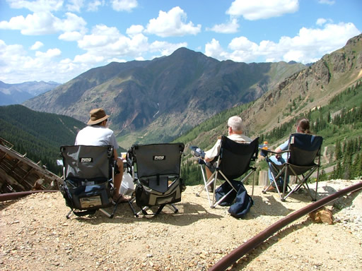
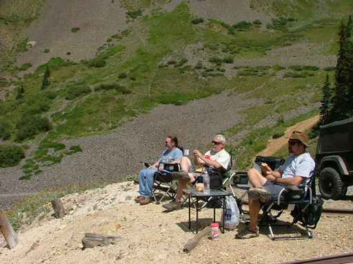
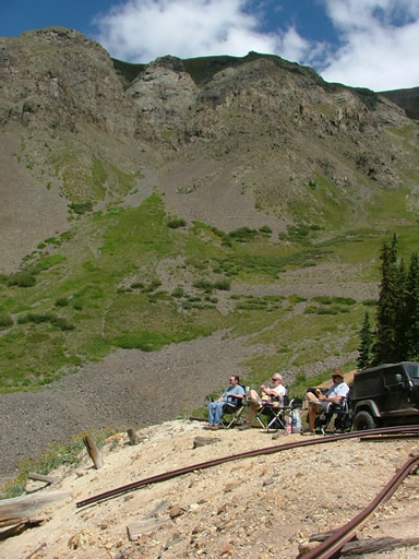
We saw our trail up ahead of us, ending at the Kitti Mack Mine. We made it up there, with just enough room for our four Jeeps to park. It was gorgeous, and the perfect place and time for lunch.
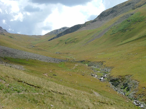
This is one of the most beautiful places we've ever had lunch. You couldn't really get to the mining buildings, though. Where we were was flat, but we were on top of a building. The hill around us was extremely steep and covered in loose rock. Exploring would be difficult and dangerous, so we skipped it.
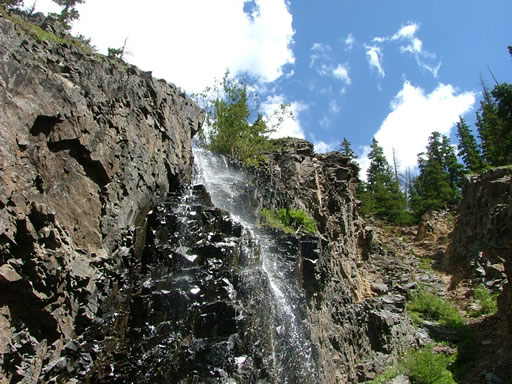
We didn't want to pack up and leave, but eventually we did. We headed back down to check out the other spur. We passed the waterfall, intent on exploring on the way back.
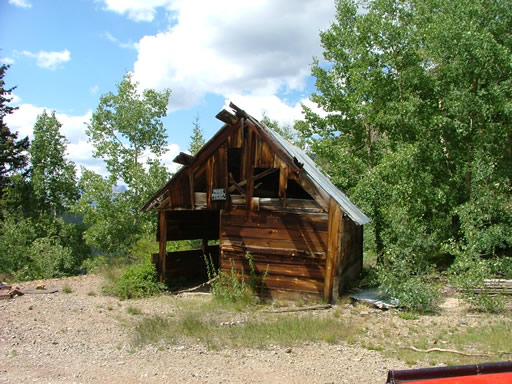
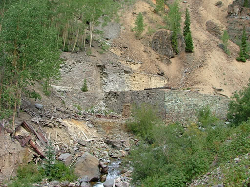
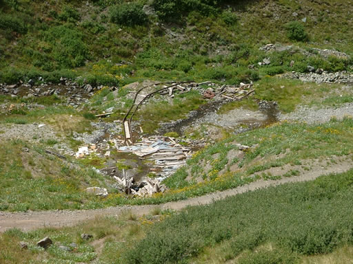
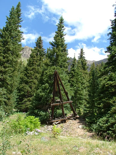
The area at the Esmeralda Mine is very pretty, but the mining buildings are nearly gone. We didn't stay long, only enough time to remove more doors and put back tops. The weather was warm and sunny, absolutely perfect.
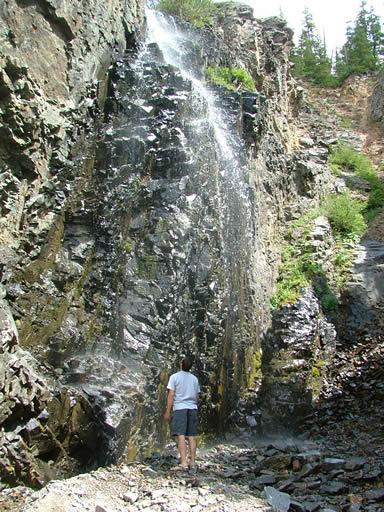
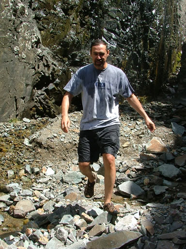
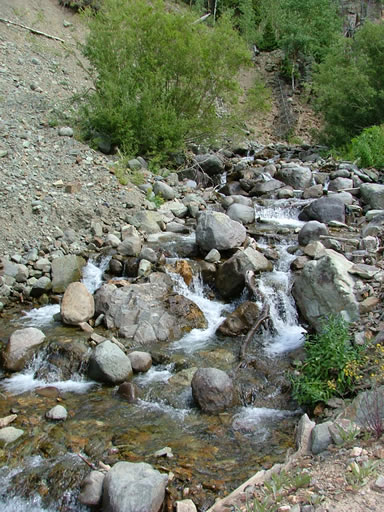
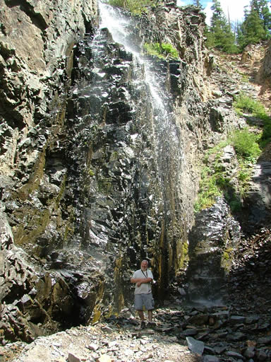
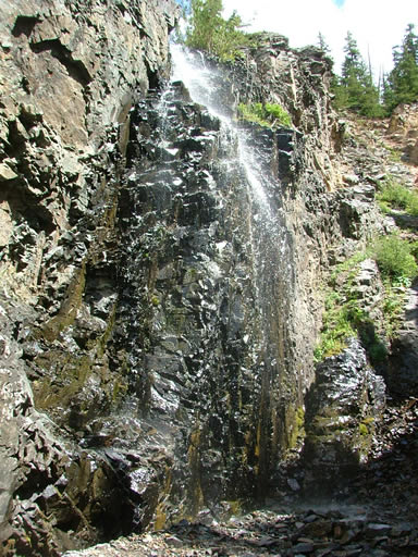
On the way back, we parked and walked over the loose rocks to the base of the waterfall. You could stand right in the spray, or get even closer if you wanted to. Don loves waterfalls, and he ran through the base of it. He wasn't in it long, but he was soaking wet on the other side. What a blast!
We were soon back out and off the trail, and we headed north to check out our next trail. It really is gorgeous in the area, and everyone was really happy.