Maverick Point


Sometimes the best laid plans aren't quite good enough, and our first day with Blanding as our Utah home base didn't quite go as planned. Still, we did everything we had hoped to do even though we finished in the dark.
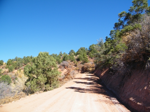
It was the group's first time with a Utah trip centered in Blanding instead of Moab, and we really didn't know what to expect. It turned out that each day would be different and this day would provide the most well-maintained and mellow trails of the trip. The scenery more than made up for the lack of challenges.
We got up early to head over to Natural Bridges National Monument to do some sightseeing on the pavement first. It was a quick drive from Blanding, and it was one of the nicest visitor centers we'd been to. We bought lots of books and headed out to check out the bridges.
There are three natural bridges to check out, and we saw all three in addition to some ruins. We didn't do any hiking though there were some short walks. We wanted to see everything but we knew there just wasn't enough time. It was well before lunch when we finished seeing the bridges and headed out.
We were glad that we did the National Park first, because we'd spend a good portion of the day looking at it from all different angles. It really helped us figure out what we were looking at, and that was good.
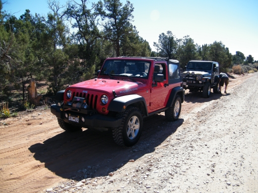
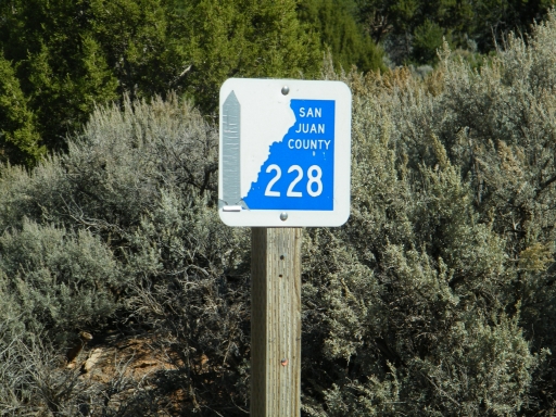
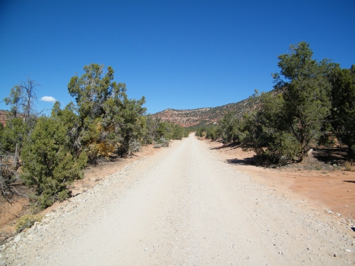
We had Maverick Point on the GPS -- otherwise we wouldn't have found it. It wasn't marked at all. We aired down at a wide spot on the easy trail and headed up.
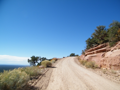
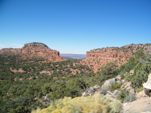
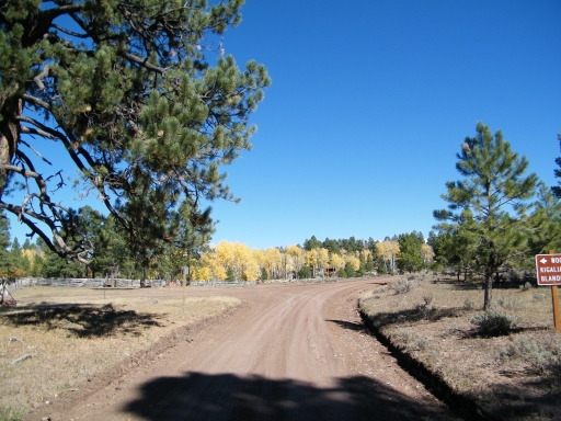
The trail was very easy, allowing us to appreciate the scenery without needing to stop. It was cool going through the Bears Ears, though none of us saw why they were called that.
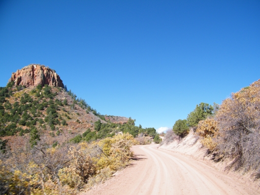
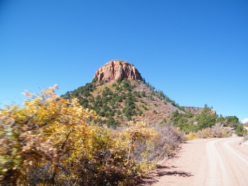
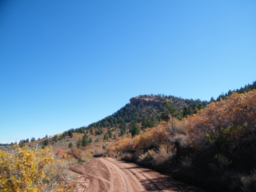
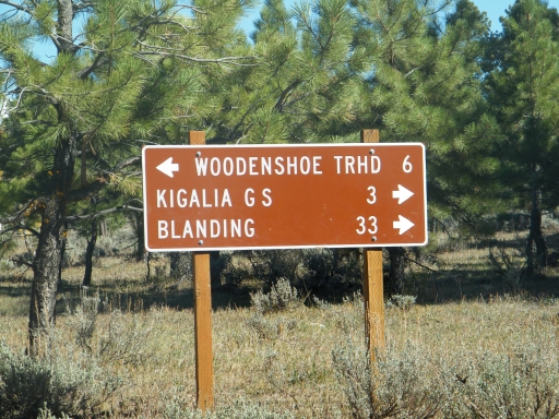
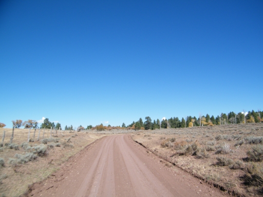
It didn't take us long to connect with Woodenshoe Buttes at about the middle of that trail, where we turned left. We were getting a little hungry, so it was time to start scouting for a lunch spot.
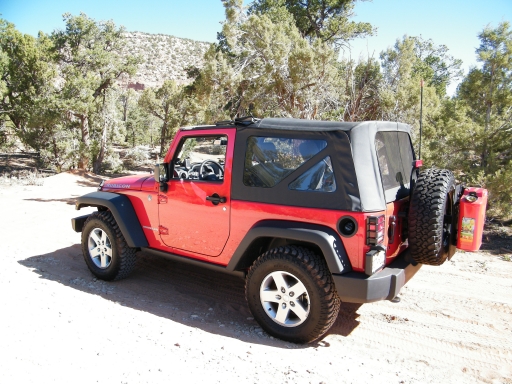
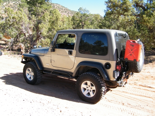
Maverick Point is a quick way to get up to Woodenshoe Buttes, and a great way to see the scenery in a stock vehicle.